Contact us
Get in touch with our experts to find out the possibilities daily truth data holds for your organization.


03 June 2026
12 min read
ICEYE's Sami Niemelä and Timo Lehto make the case for 15-minute image delivery as a repeatable...
Read more about Beyond the Echo - Latency: The Ability to Act →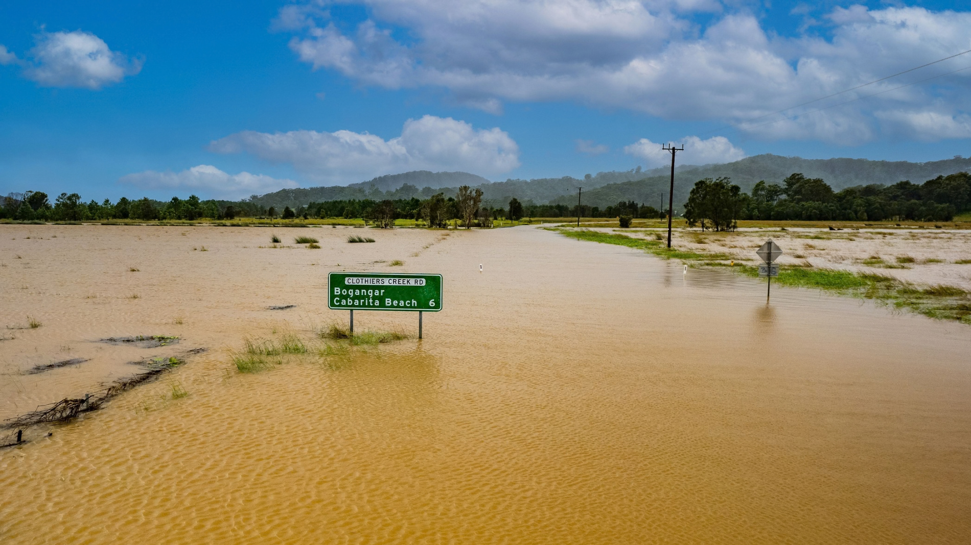
14 May 2026
7 min read
How to use Esri’s ArcGIS Online and ICEYE’s Flood Insights for actionable intelligence.
Read more about How to unlock resilience for emergency response in Australia →
Sign up for our Insurance Newsletter for regular updates about ICEYE products and exclusive insights on the most pressing natural catastrophes delivered to your inbox.

06 May 2026
4 min read
Discover how space-based ISR enhances tactical operations in dispersed combat, enabling rapid...
Read more about How Space-Based ISR Supports Dispersed Combat Operations →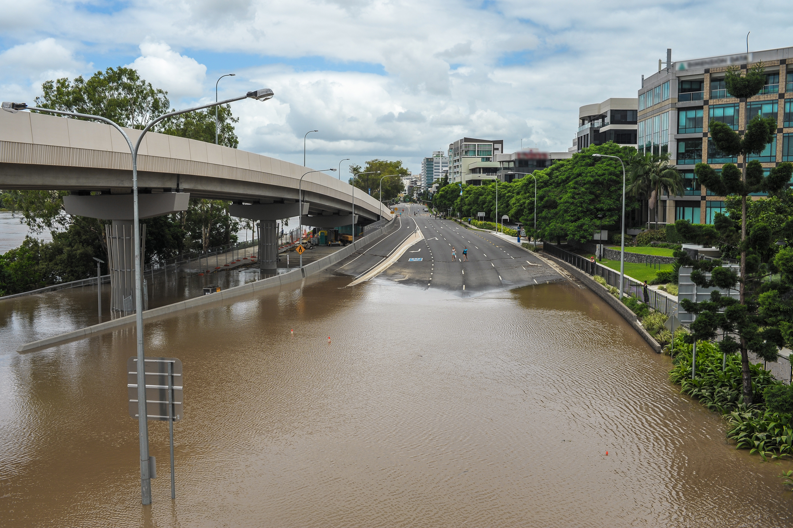
18 March 2026
16 min read
Learn how ICEYE’s technology delivers decision-ready data through smoke, cloud, and darkness for...
Read more about How to close the disaster intelligence gap in Australia →
23 January 2026
6 min read
Director of Product Management Udo Szabo explains how the federated model evolved from an idea into...
Read more about Federation: The next step in space-based ISR →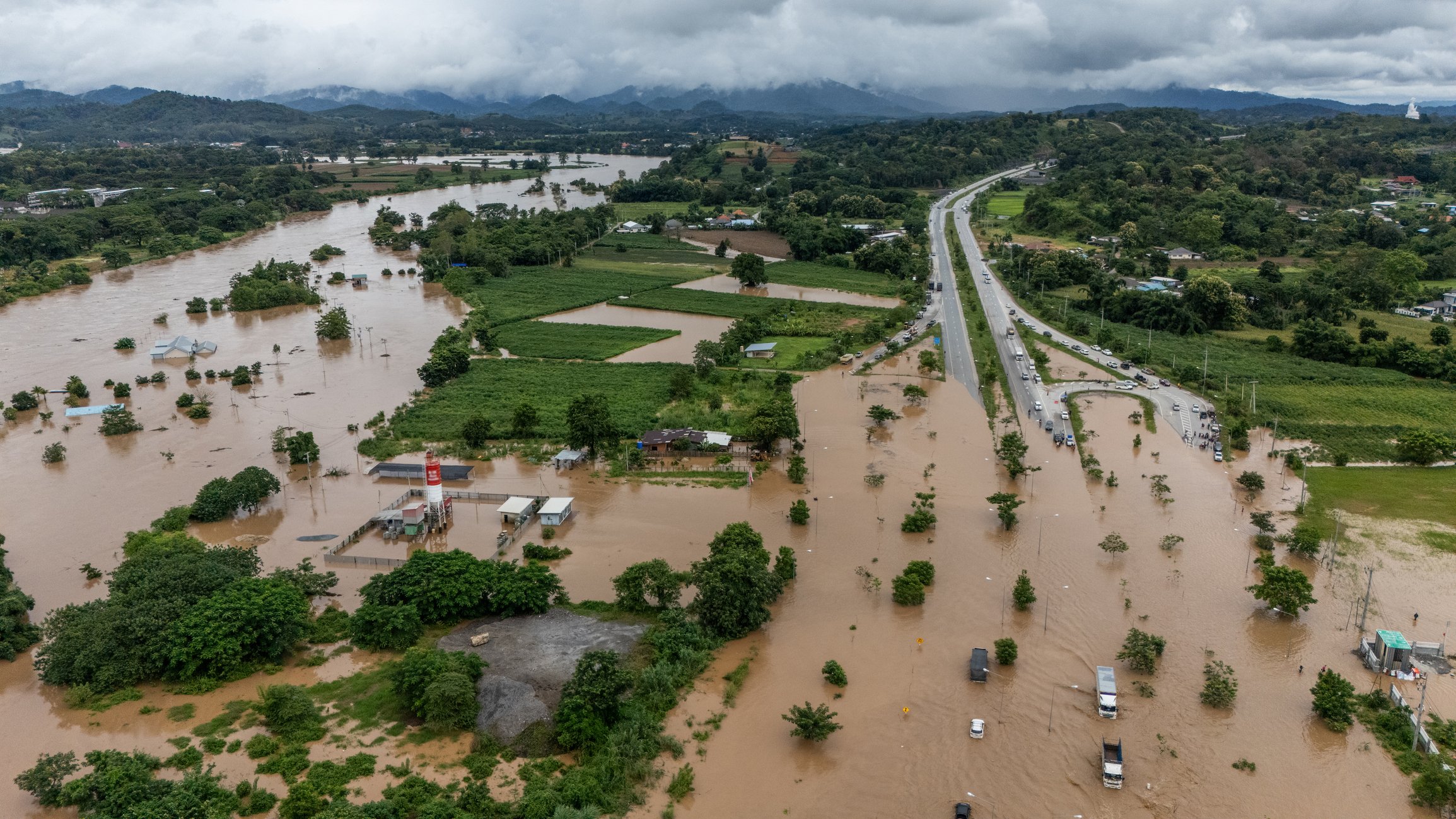
11 December 2025
1 min read
2025 Cyclone Season: Insights on Cyclones Senyar and Ditwah, two powerful storms that formed in the...
Read more about Cyclones Senyar and Ditwah: Flooding impact across Sri Lanka, Indonesia, and Thailand →
04 December 2025
7 min read
In the wake of Hurricane Melissa, ICEYE made its Flood Rapid Impact data and Hurricane Rapid Impact...
Read more about Using near-real time data to expedite Hurricane Melissa disaster response →
06 November 2025
13 min read
Shikha Sharma and Leszek Lamentowski reveal the technology behind ICEYE SAR satellite agility.
Read more about Beyond the Echo - How satellites steer the radar beam →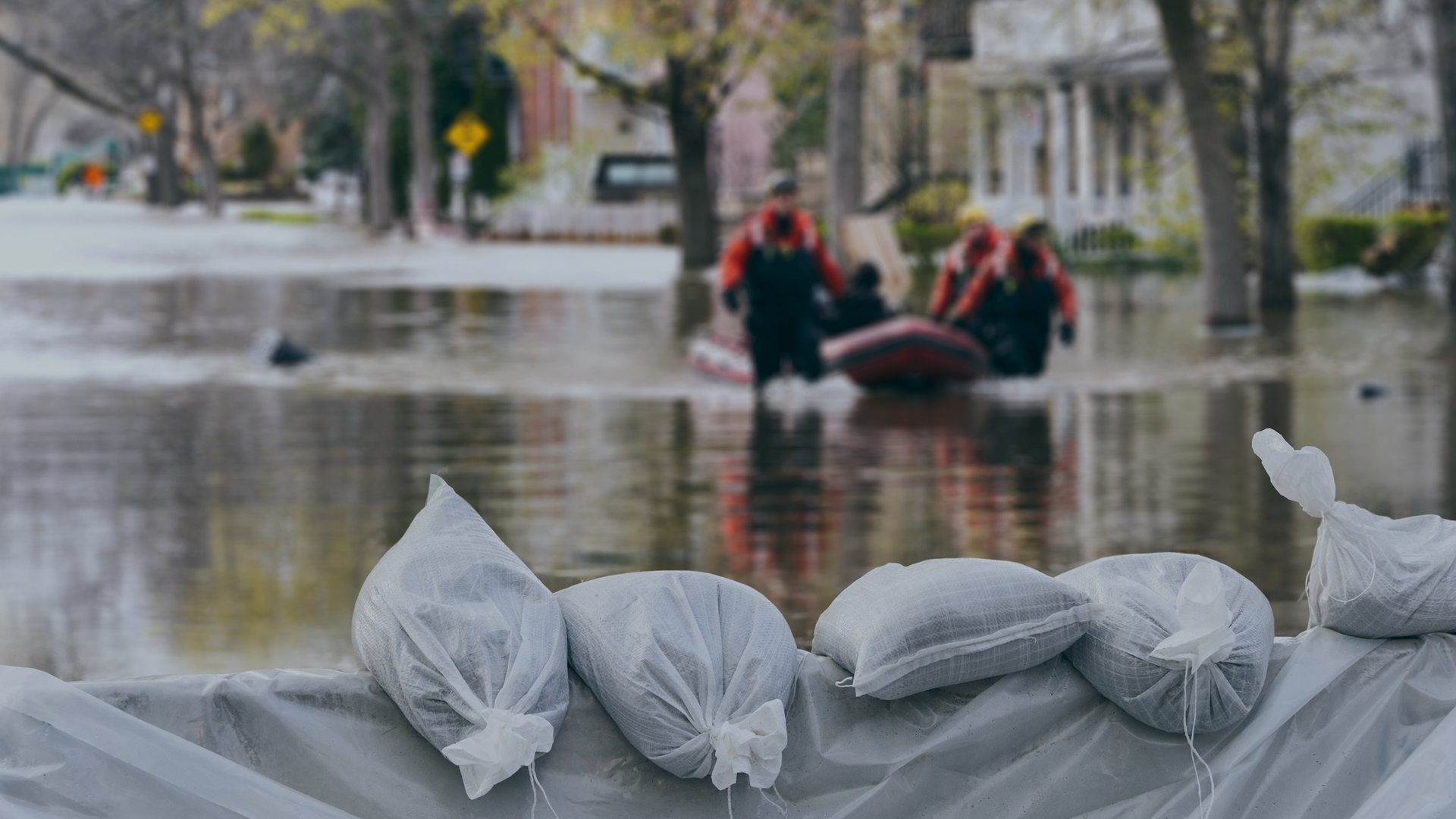
28 October 2025
11 min read
Discover how satellite flood monitoring helps insurers gain real-time situational awareness and...
Read more about Flood Ready: How insurers can act faster with satellite insights →
16 October 2025
8 min read
ICEYE uses SAR data to help utilities identify structures at risk, reduce power downtime, and...
Read more about 5 ways U.S. electric and water utilities can recover faster and respond smarter to floods using near real-time satellite data →
15 October 2025
11 min read
ICEYE's Monte Carlo workshop revealed how SAR satellite data transforms hurricane response and...
Read more about From forecast to fact: Multi-peril data for insurers →
27 June 2025
7 min read
Shikha Sharma and the ICEYE team explore physical maneuver, electronic beam steering, and optimized...
Read more about Beyond the Echo - Rapid-fire imaging, on repeat →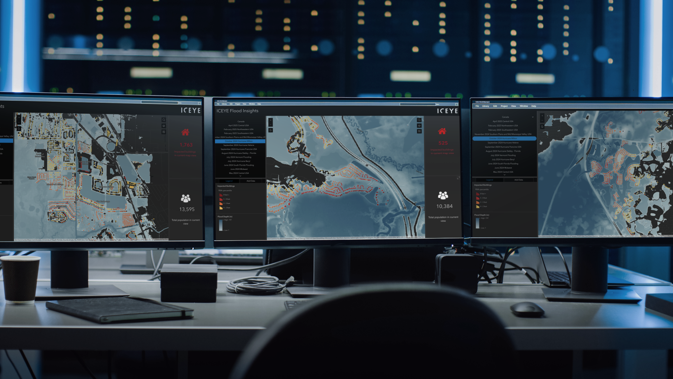
11 June 2025
10 min read
How Emergency Managers can ensure data readiness ahead of hurricane seasons.
Read more about 6 Data-driven strategies emergency managers should use for hurricane preparedness →
27 May 2025
13 min read
Discover how ICEYE’s Hurricane Solution gives insurers 24-hour wind & flood insights, enabling...
Read more about Hurricane Solution FAQ for insurers →
24 April 2025
9 min read
Discover the key climate factors shaping the 2025 hurricane season and why accurate observation is...
Read more about Forecasting complexity: What the 2025 hurricane season brings for disaster response →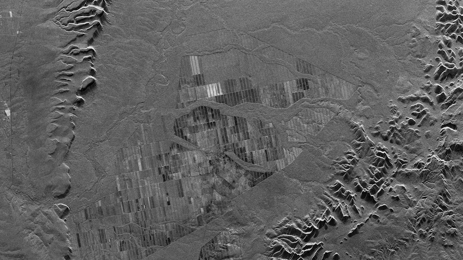
13 March 2025
12 min read
Learn how phase information - that magical property of SAR - can be combined with persistent...
Read more about Harness the magical property of SAR →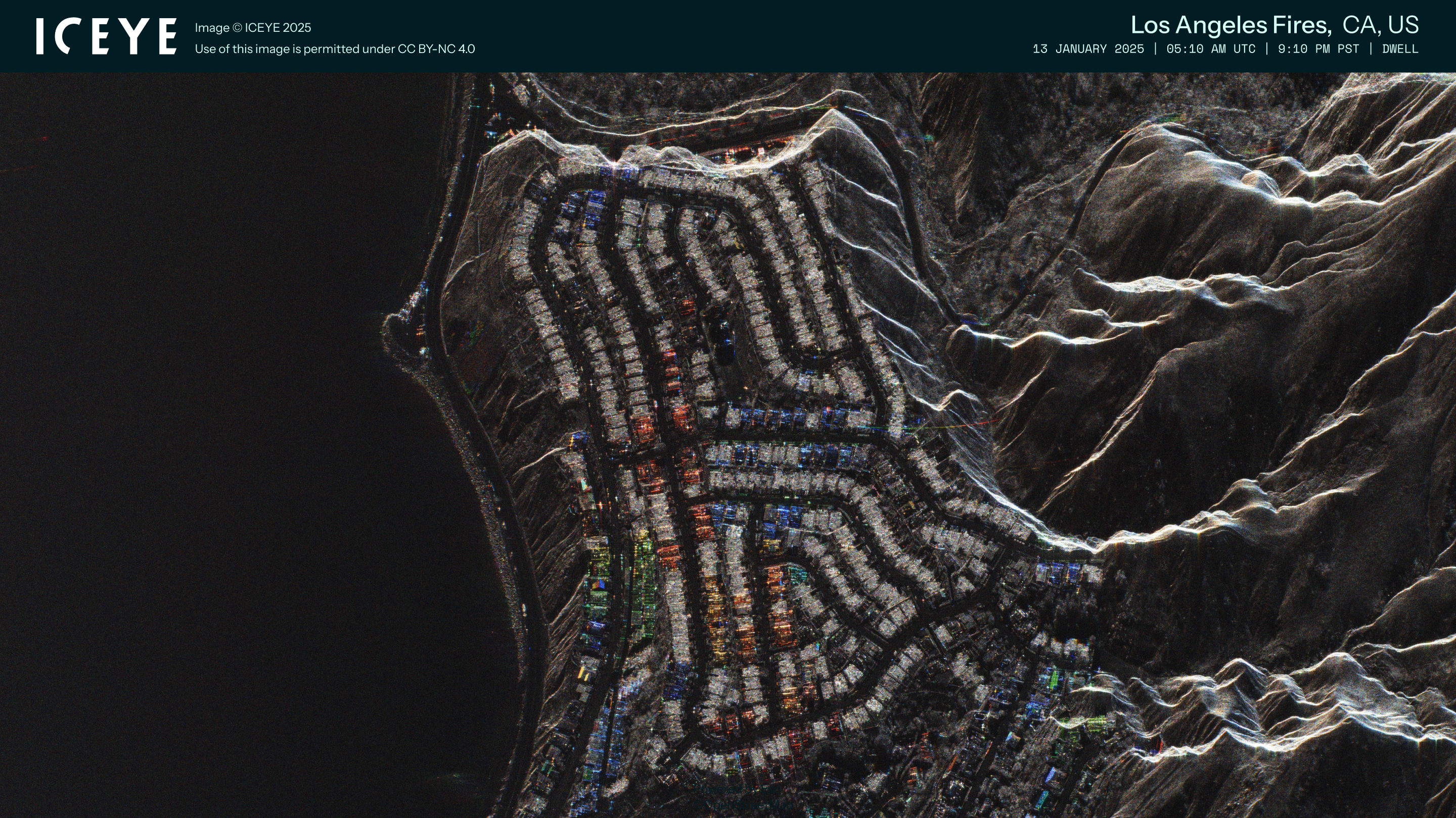
05 March 2025
12 min read
Discover how ICEYE’s observed wildfire data helped insurers and emergency managers respond to the...
Read more about Beyond 99% Precision: How ICEYE’s observed data improved wildfire response in Los Angeles →
19 February 2025
9 min read
Learn all the different ways in which insurers can access and visualize ICEYE Flood Insights data...
Read more about Insurers' guide to accessing and visualizing ICEYE Flood Insights →
14 February 2025
16 min read
What brings sustainable farming, a creative marriage proposal, and ICEYE's radar satellite...
Read more about Beyond the Echo - Natalie, Will You Marry Me? →
17 December 2024
13 min read
Most of the observable components of change on earth are the result of human or geological...
Read more about Monitoring our rapidly changing Earth →
16 December 2024
8 min read
Read ICEYE's summary of the 2024 Atlantic hurricane season to understand trends, impacts, and...
Read more about Atlantic hurricane season 2024 wrap-up: trends, impacts, and future risks →
03 December 2024
9 min read
Darren Muff and the ICEYE team take a closer look at two MI-26 Hind helicopters captured in SAR...
Read more about Beyond the Echo - Helicopter rotor signature on SAR imagery →
28 November 2024
11 min read
The ICEYE SAR constellation gathers enough data to produce a wide variety of images; from...
Read more about Discover the diversity of SAR imagery →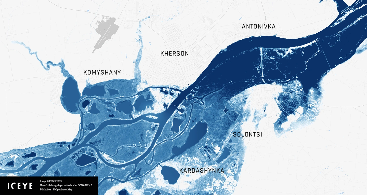
20 November 2024
7 min read
This tutorial guides you step-by-step to explore and visualize flood data for the Kakhova Dam...
Read more about Celebrate GIS Day with ICEYE and Esri’s ArcGIS Living Atlas →
08 November 2024
16 min read
SAR images are produced using microwaves rather than visual wavelengths. Learn how SAR differs from...
Read more about Seeing the world through SAR →
30 October 2024
5 min read
Darren Muff and the ICEYE team explore how many images ICEYE SAR satellites could collect when...
Read more about Beyond the Echo - Phased array with small satellites →
17 October 2024
4 min read
Explore ICEYE Flood Insights' role in enhancing New Zealand flood response efforts and disaster...
Read more about Effective flood response with ICEYE Flood Insights in New Zealand →
30 September 2024
8 min read
Access ICEYE's observed data on Hurricane Helene and its impact in the Florida panhandle, Georgia...
Read more about Monitoring Hurricane Helene: satellite-powered insights →
17 September 2024
10 min read
Learn about ICEYE synthetic aperture radar (SAR) imaging techniques and how radar impulses are used...
Read more about Beginner’s guide to synthetic aperture radar (SAR) technology →
25 July 2024
6 min read
Discover how ICEYE is advancing satellite-powered disaster response and emergency management at...
Read more about Shaping the future of satellite-powered disaster response →
10 June 2024
3 min read
ICEYE, a global leader in satellite-powered disaster management solutions, announced this month it...
Read more about ICEYE becomes Esri Gold Partner amid growing footprint in GIS ecosystem →
05 June 2024
1 min read
Learn how ICEYE is partnering with the UN Global Compact to integrate key sustainability principles...
Read more about ICEYE joins the United Nations Global Compact to advance sustainability and corporate responsibility →
08 May 2024
5 min read
Learn about El Niño and La Niña's impact on the 2024 hurricane season with expert insights from...
Read more about Understanding El Niño and La Niña: A Meteorologist's perspective on the upcoming hurricane season →
22 April 2024
6 min read
Learn how radar satellites can transform flood surge response for UK insurers, providing accurate...
Read more about How radar satellites are transforming flood surge event response for UK insurers →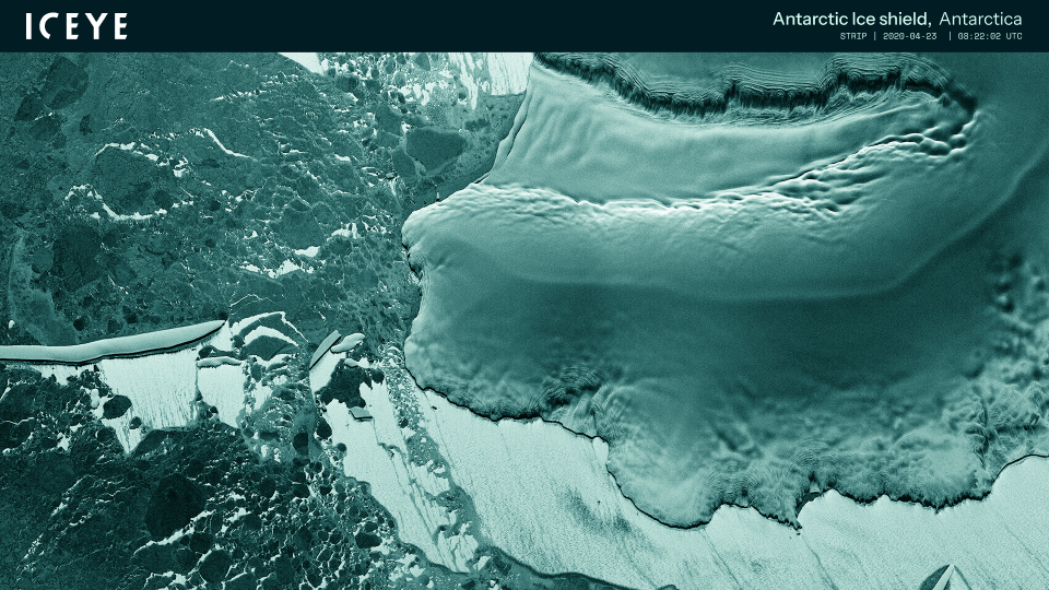
22 March 2024
3 min read
ICEYE’s journey started ten years ago with an idea to monitor the movements of the Arctic ice –...
Read more about ICEYE cooperates with WWF to protect ‘blue corridors’ - whales’ migration routes in the Arctic →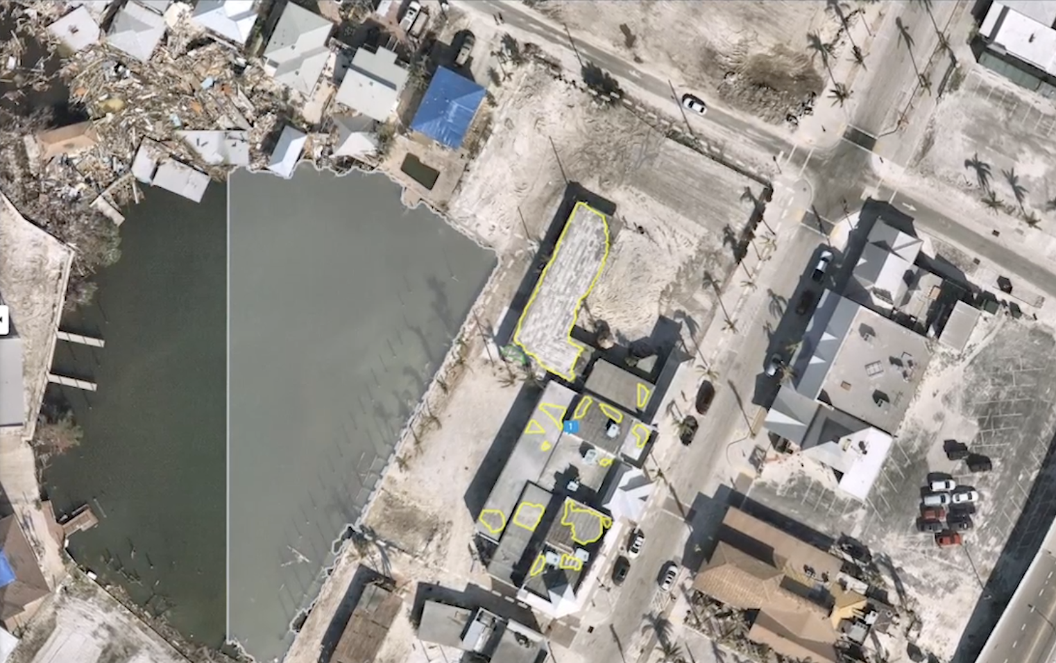
28 February 2024
6 min read
Explore how geospatial property intelligence is revolutionizing insurers' approach to managing...
Read more about Managing climate risk with geospatial property intelligence for the insurance sector →
23 February 2024
7 min read
See the highlights from Esri FedGIS 2024 and learn how ICEYE's satellite-powered disaster...
Read more about See our photos, highlights, & commentary from Esri FedGIS 2024 →
17 November 2023
4 min read
Our Interferometric Synthetic Aperture Radar (InSAR) is assisting the Icelandic Met Office with...
Read more about ICEYE Interferometric Analysis: Monitoring Potential Volcanic Eruption in Iceland →
09 November 2023
3 min read
Learn more about ICEYE's new partnership with the European Space Agency (ESA) to develop an...
Read more about A New Frontier in Earth Observation: The ICEYE x European Space Agency (ESA) Partnership →
30 August 2023
6 min read
We gathered 10 burning questions to help you better understand the art of the possible with our...
Read more about 10 Burning Questions About Rapid Building-Level Damage Detection - Demystifying ICEYE Wildfire Insights →
19 July 2023
2 min read
As a member of Esri PAC, ICEYE's Paul Barron will have direct collaboration opportunities with...
Read more about ICEYE's Paul Barron Has Joined the Esri Partner Advisory Council (PAC) →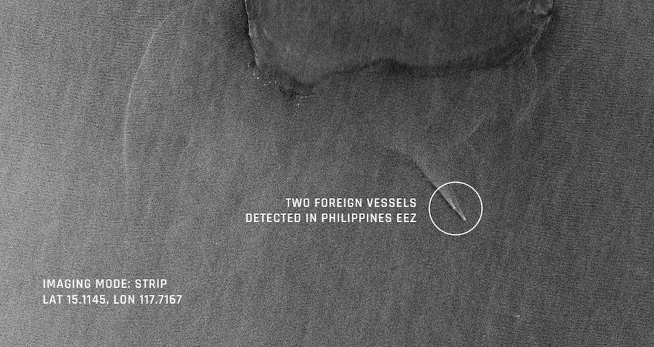
04 July 2023
2 min read
ICEYE and Windward integrate SAR imagery with maritime AI and optical imagery, to produce...
Read more about Combining SAR with AI & Optical Imagery to Support Maritime Awareness →
30 June 2023
5 min read
Delve into the 2023 wildfire and hurricane season with ICEYE's meteorologist, Brandon Wright, and...
Read more about Navigating Extreme Weather: An In-depth Look at the 2023 Wildfire & Hurricane Season →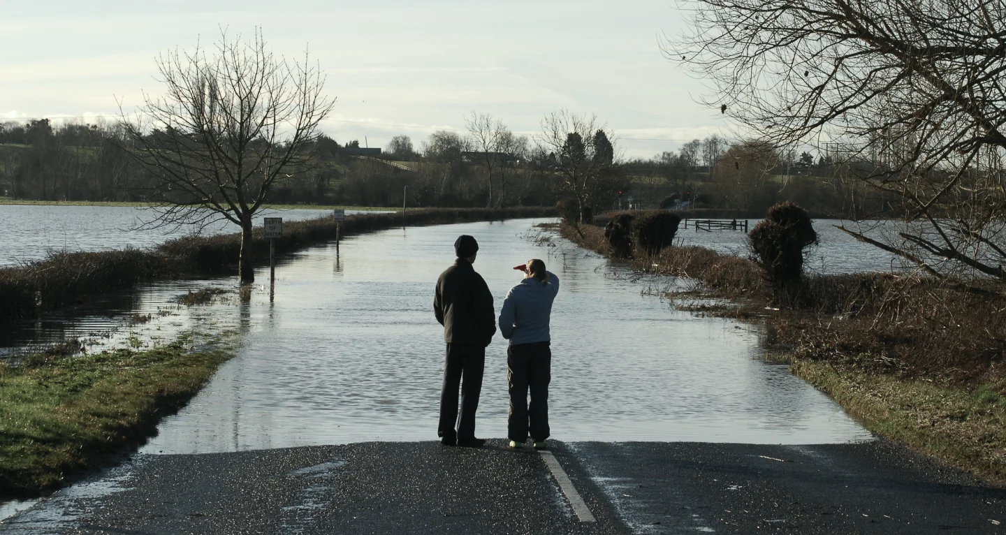
15 June 2023
4 min read
Explore how SAR technology and ICEYE satellite data revolutionize flood claim triage, expediting...
Read more about Harnessing SAR Technology for Efficient Flood Claim Triage, Speedy Settlements, and Reduced Late Reporting for Insurers →
08 June 2023
6 min read
See ICEYE's flood analysis for the Nova Kakhovka dam breach in Ukraine, enabling on-the-ground...
Read more about Full Scale of Flooding in Ukraine's Kherson Oblast Captured by ICEYE Analysis →
15 May 2023
4 min read
Combining SAR with other satellite imaging technologies offers unique potential to provide...
Read more about Next-level Space-based Intelligence – Utilizing SAR in Multi-sensor Data Collection →
12 May 2023
4 min read
Discover how ICEYE's SAR technology transforms wildfire monitoring, offering real-time data for...
Read more about Revolutionizing Wildfire Monitoring with ICEYE's SAR Technology →
05 May 2023
5 min read
Learn how satellite data is transforming parametric insurance. Insights from ICEYE's Stephen...
Read more about Providing Data For The Parametric Insurance Buyer →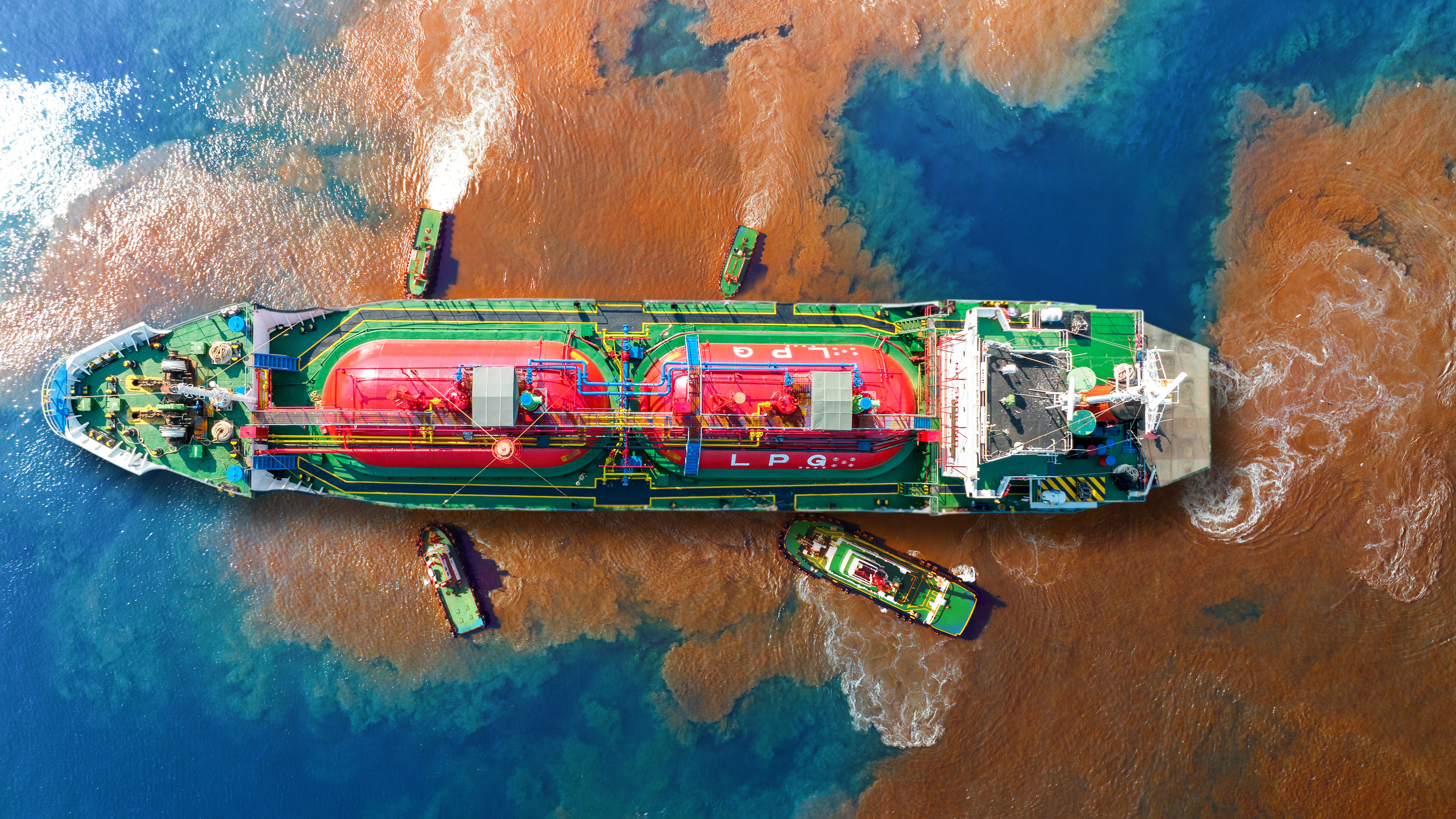
27 April 2023
4 min read
What if you could find and monitor oil spills in near real-time, day or night and in any weather?...
Read more about See and Respond to Oil Spills as They Happen with SAR →
05 April 2023
3 min read
ICEYE provides nations with game-changing border security insights and persistent monitoring...
Read more about Go From Scrambling to Proactively Securing Your National Borders →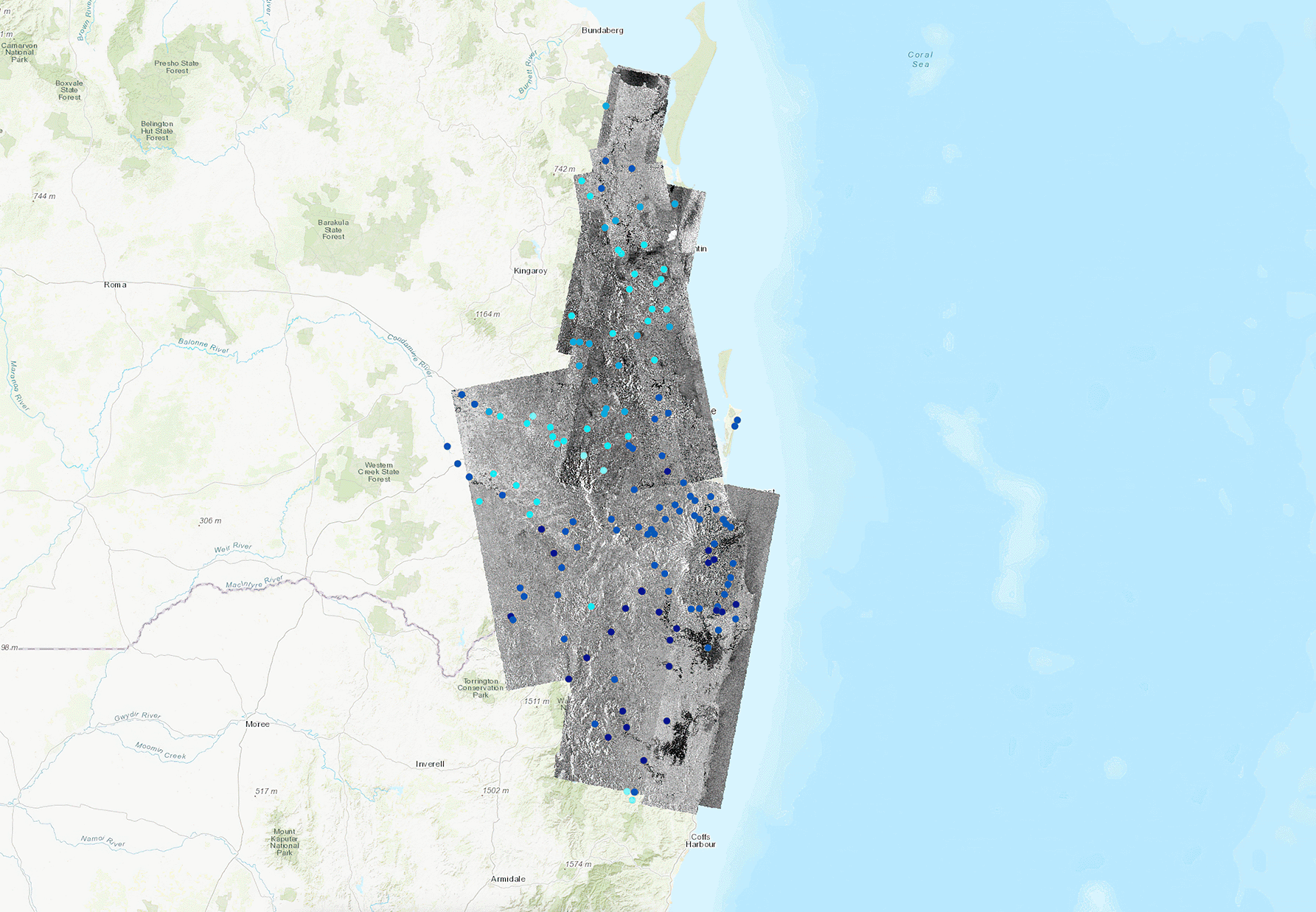
23 February 2023
6 min read
Learn how SAR technology provides valuable insights to insurance companies so they can act...
Read more about See Through Clouds: How SAR Technology Helps Insurers Stay Ahead of Natural Disasters →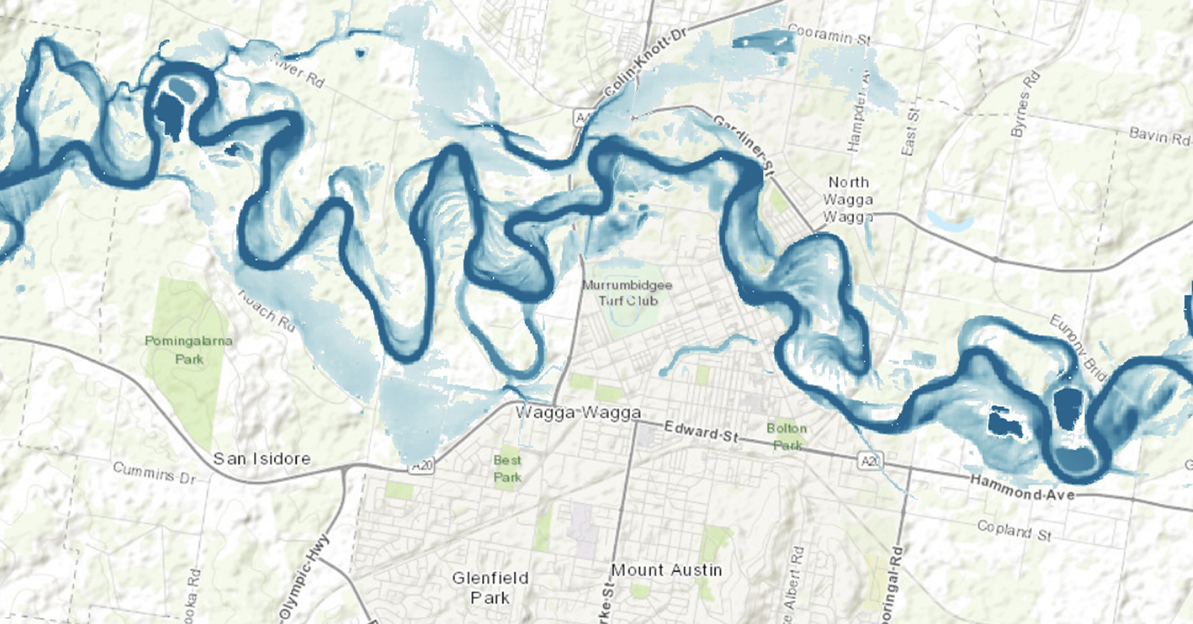
16 February 2023
6 min read
Explore the three different ways in which Esri ArcGIS customers can access ICEYE’s near real-time,...
Read more about Unlock the Power of Data with ICEYE's NatCat Insights on Esri ArcGIS →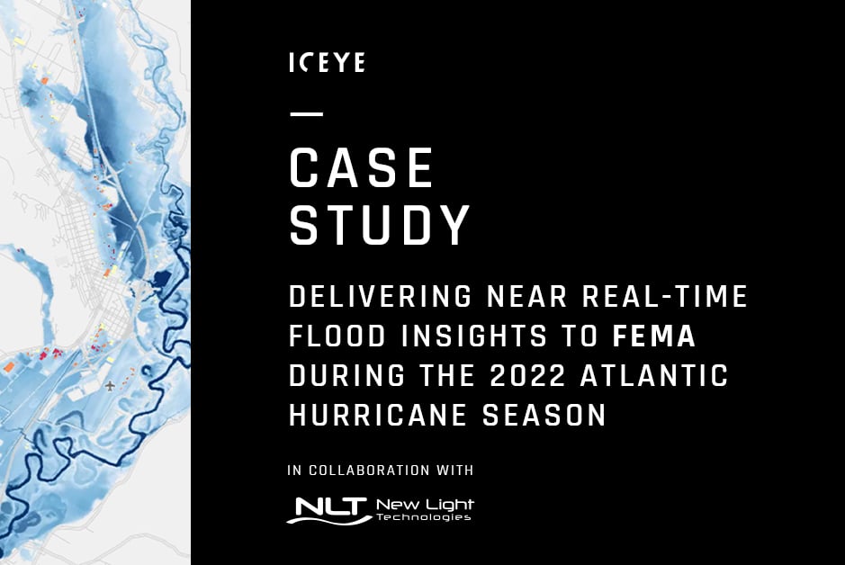
06 February 2023
4 min read
Understand how ICEYE delivered near real-time geospatial flood impact data to FEMA for major US...
Read more about Delivering Near Real-Time Geospatial Flood Impact Data to FEMA →
07 December 2022
5 min read
Learn more about how we can fight systemic risks such as climate change in some of the most...
Read more about Insuring the Uninsurable: Fighting Systemic Risks with Blended Finance →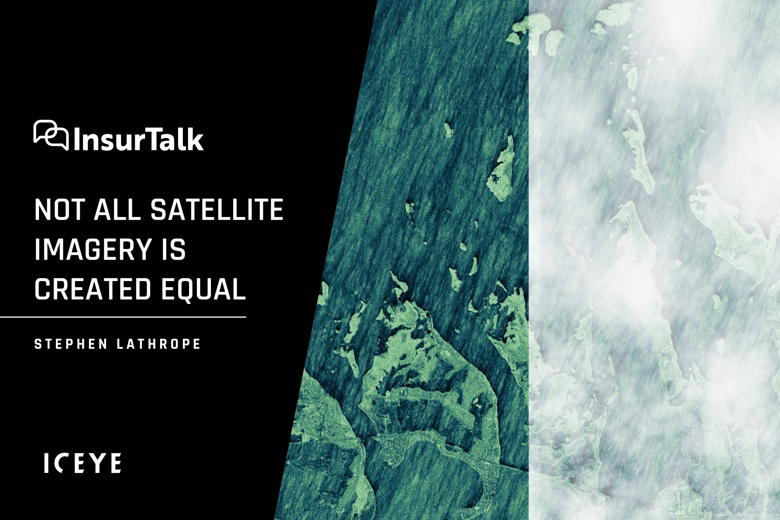
23 November 2022
6 min read
What makes ICEYE's SAR data and earth observation technology ideally suited to disaster response? A...
Read more about Not All Satellite Imagery is Created Equal – Why Choose SAR? →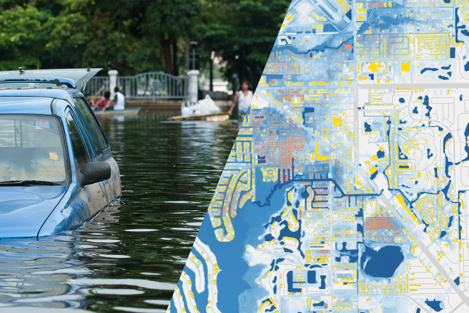
15 November 2022
6 min read
Read how ICEYE monitored Hurricane Ian and delivered rapid insights for insurers and emergency...
Read more about Tracking Hurricane Ian: The Benefits of Remote Sensing and SAR →
06 October 2022
5 min read
Learn how insurers how catastrophe risk experts at major insurers are dealing with flood risk and...
Read more about Better Flood Risk Management for Insurers →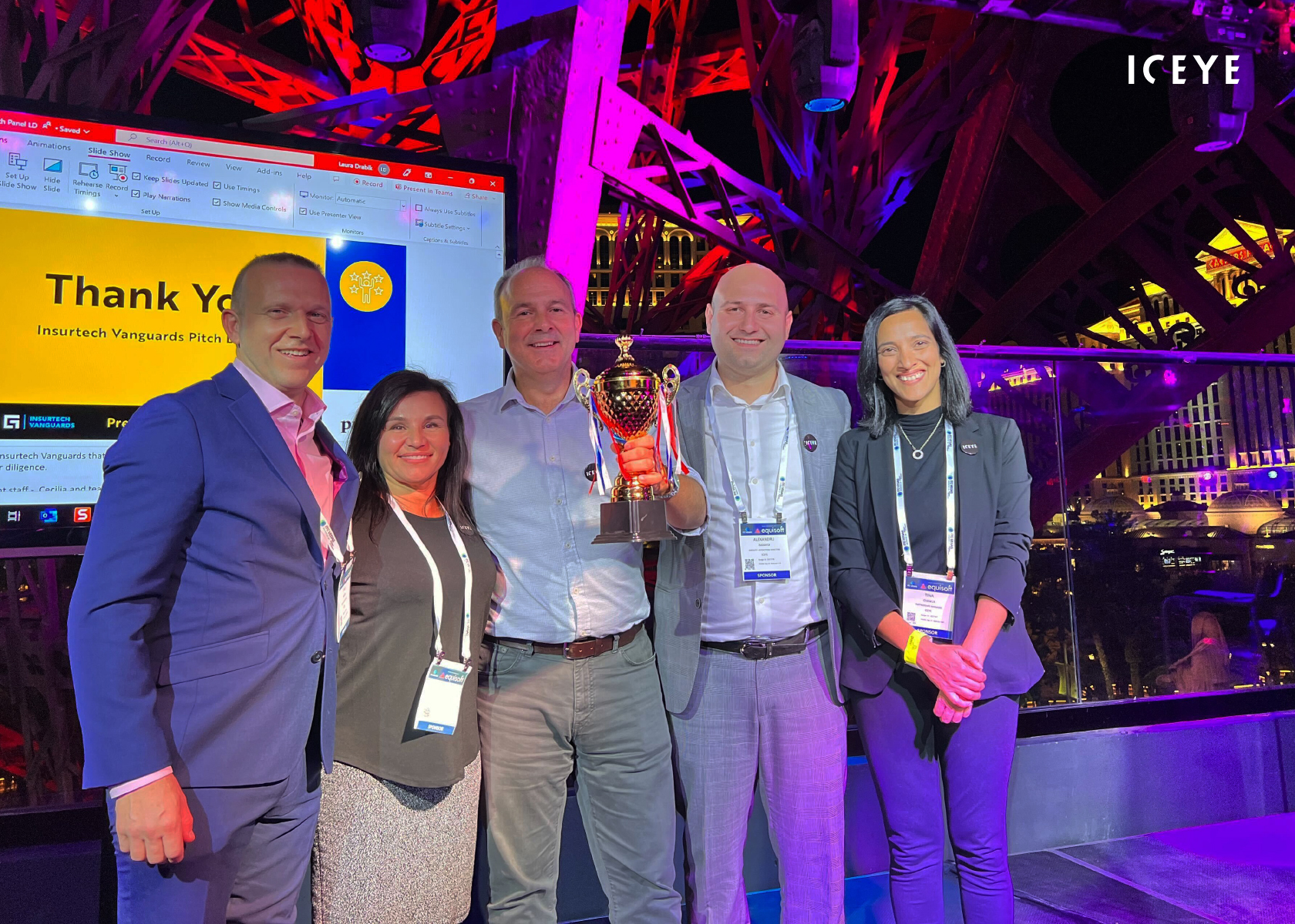
27 September 2022
4 min read
Read how ICEYE won Guidewire's Insurtech Vanguards Pitch competition in September 2022, as...
Read more about Guidewire’s Insurtech Vanguards Competition - What a Win for ICEYE! →
26 September 2022
8 min read
ICEYE's dockerized SNAP coregistration routine simplifies the spatial alignment of SAR time-series...
Read more about Easy Spatial Alignment of ICEYE SAR Data for Machine Learning →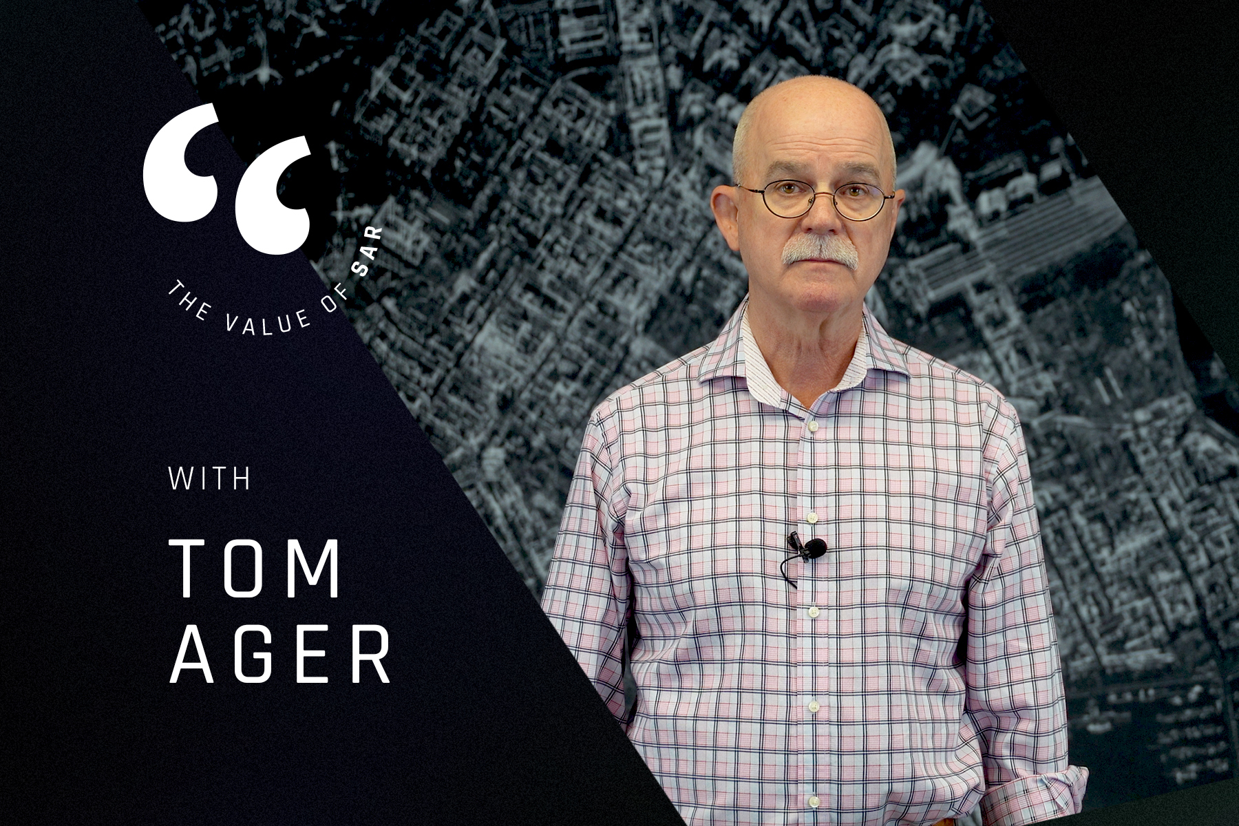
30 August 2022
8 min read
ICEYE's Value of SAR talk series challenged the stereotype of SAR being difficult. The first...
Read more about Why SAR Should be on Everyone’s Radar →
10 August 2022
7 min read
Learn how insurers and emergency management organizations can handle the rising cost of flash...
Read more about Tackling Flash Floods in the Era of Climate Change →
27 July 2022
6 min read
Learn more about the ICEYE x EigenRisk partnership and what it means for the future of flood...
Read more about Hurricane Season 2022: The Power of Near Real-Time Flood Observation Data →
06 July 2022
6 min read
Read about our satellite launch through the eyes of Charles Blanchet, who was present at Cape...
Read more about The Thrill of a Satellite Launch →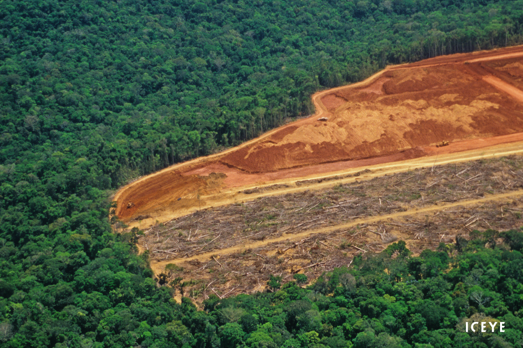
22 June 2022
12 min read
SAR data cannot easily be used for machine learning (ML). To simplify it, we've been developing the...
Read more about How to Build an ICEcube for Supervised Machine Learning with Time-series SAR Images →
19 May 2022
6 min read
Learn about how you can work towards your ESG goals and improve your disaster resilience with ICEYE...
Read more about Achieving Your ESG Goals with ICEYE NatCat Solutions →17 May 2022
12 min read
ESA and ICEYE collaborated on a novel method for tracking rapid changes in the Earth's surface. It...
Read more about ICEYE X ESA – Pioneering the Tracking of Rapid Changes on Earth →
13 May 2022
5 min read
What if you could proactively keep your customers informed in the immediate aftermath of natural...
Read more about Handling Claims for NatCat Events: The Moment of Truth for Insurers →
03 May 2022
5 min read
Our Global Head of Insurance, Stephen Lathrope, shares his thoughts on the potential of satellite...
Read more about Being Everywhere, Multiple Times a Day →
28 April 2022
6 min read
Learn more about the partnership between ICEYE and Aon and understand how incumbents can leverage...
Read more about ICEYE x Aon - Sizing Flood Losses with Near Real-Time Hazard Data →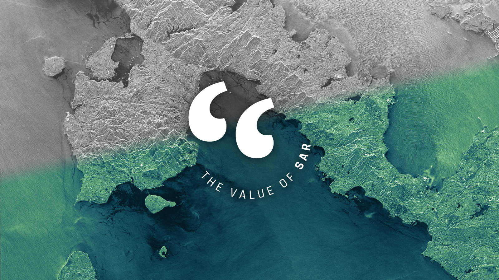
13 April 2022
7 min read
SAR provides information that no other technology can, but it still encounters reservations as the...
Read more about Let’s Talk About the Value of SAR →
29 March 2022
5 min read
How SAR imagery secured the Endurance22 expedition in the Antarctic Weddell Sea that was in danger...
Read more about A Path Through Sea Ice →
02 March 2022
10 min read
Measuring the Earth in 3D and detecting the subtlest movements of terrain and objects from space is...
Read more about Beyond Change Detection: Measuring the Changes that Matter →
15 February 2022
4 min read
Learn about the partnership between ICEYE and New Light Technologies (NLT) to deliver critical...
Read more about ICEYE Partners with New Light Technologies →
10 February 2022
5 min read
How can insurers close the flood insurance data gap, improve their disaster response timeliness and...
Read more about How to Close the Flood Insurance Data Gap with Persistent Monitoring →
27 January 2022
9 min read
ICEYE’s new imaging capability combines two key parameters - resolution and coverage - in a...
Read more about See More at Once with Spot Extended Area Imagery →
27 December 2021
10 min read
ICEYE's successful year 2021 is full of great achievements and remarkable "World’s firsts".
Read more about Highlights of 2021 →
26 November 2021
4 min read
Learn how insurers leverage ICEYE’s multi-source flood insights to establish precise parametric...
Read more about Designing Parametric Insurance Products with ICEYE's Flood Monitoring Technology →
25 November 2021
7 min read
ICEYE at COP26: Geospatial intelligence helps respond to the perils caused by climate change. New...
Read more about This Is Where Earth Observation Comes In →
17 November 2021
7 min read
Read the summary of our event with InsTech London on how insurers can transform their customer...
Read more about ICEYE x InsTech London: Spotlight on Near Real-Time Flood Monitoring for Insurance Companies →
30 September 2021
8 min read
Daily observing of smallest changes using ICEYE's Daily Coherent GTR capability opens a new view...
Read more about See The Invisible, Do The Impossible →
25 August 2021
10 min read
We at ICEYE Analytics intend to make SAR less unnerving and foster machine learning applications...
Read more about Applying Machine Learning To Rapid Revisit SAR →
29 July 2021
7 min read
Large Earth-observing satellite constellations like ICEYE’s can rapidly and timely provide you with...
Read more about Real-Time Earth Observation – A Vision Becomes Reality →
13 July 2021
7 min read
Observe current events on Earth and anticipate what might happen next. With our Daily Coherent...
Read more about Towards Predicting Tomorrow →
25 June 2021
5 min read
During a flood event, clear, decisive actions are critical. Achieve this with the right data to...
Read more about Streamline Claims Management Processes with Improved Data Speed, Quality, and Scale →
09 June 2021
4 min read
Claims execution provides an ideal opportunity to impress your customer with an excellent customer...
Read more about Four Tips on Utilizing Data to Enhance Your Claims Process →
03 June 2021
6 min read
ICEYE is enabling new levels of access to data for persistent monitoring of large and small areas...
Read more about Welcome to a New Era in Data Access →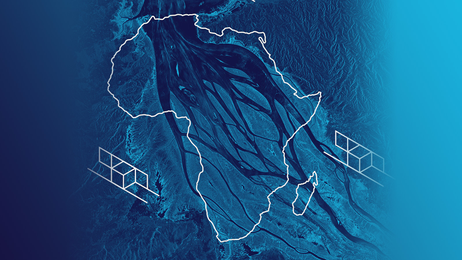
27 May 2021
10 min read
Radar satellites acquire images of Africa’s impressive natural landscapes with diverse ecosystems...
Read more about Africa in SAR Satellite Images – Celebrating the Beauty of the Continent →
27 April 2021
4 min read
Spot SAR imagery reveals details in dense urban areas and provides invaluable insights for city...
Read more about ICEYE’s SAR Dataset Overview: City Infrastructure of Muscat, Oman →
24 March 2021
3 min read
When a flood hits anywhere in the world, it takes only 24 hours for insurers to have access to...
Read more about Podcast: Introducing ICEYE’s Satellite-Based Flood Monitoring Solution for Major Insurers →
12 March 2021
4 min read
Quick access to data is a key component for satellite-based applications. Rapid satellite data...
Read more about Rapid Access to Satellite Imagery Enables Fast Detection and Monitoring of Changes on Ground →
12 February 2021
6 min read
ICEYE Stripmap images are an information source for many use cases, such as field segmentation,...
Read more about ICEYE’s SAR Dataset Overview: Agricultural Areas in Kansas and California, U.S. →
28 January 2021
7 min read
The term ‘tip and cue’ is used for the coordinated utilization of complementary sensor systems to...
Read more about Tip and Cue Technique for Efficient Near Real-Time Satellite Monitoring of Moving Objects →
09 December 2020
9 min read
We are eager to welcome software engineering talents to join our team. Read about the experiences...
Read more about Software Engineers Give Insights to Their Work at ICEYE →
20 November 2020
5 min read
Alan Thompson has long been fascinated by the New Space approach and ICEYE’s early success with...
Read more about Dr. Alan Thompson, Vice President, Spacecraft Engineering, Shares His Experience and Thoughts on SAR Satellite Missions →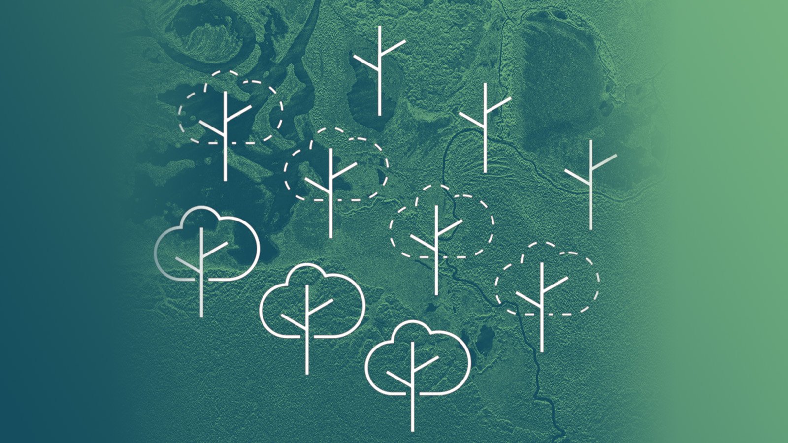
06 October 2020
8 min read
Satellite images are a reliable source to verify the extent and the level of forest loss, to better...
Read more about Deforestation and Forest Degradation Monitoring with SAR Satellite Imagery →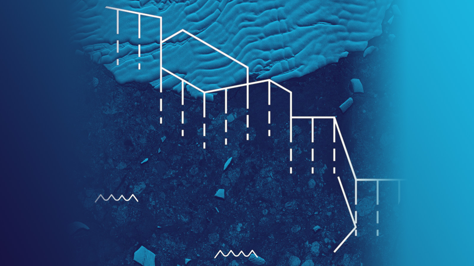
24 September 2020
6 min read
Radar satellite images are very beneficial for glacial studies supporting the growing focus on...
Read more about Monitoring Glacier Changes Using SAR Imagery →
31 August 2020
2 min read
Are you a Software Engineer and fascinated by space, satellites and Earth Observation? ICEYE is...
Read more about Great Opportunities for Software Engineers in the Space Industry →
20 August 2020
6 min read
Access to reliable site information is essential in the case of natural or man-made disasters. SAR...
Read more about In the Event of Humanitarian Disasters ICEYE Provides High-resolution SAR Satellite Imagery →
30 April 2020
7 min read
The worldwide COVID-19 pandemic forces countries and businesses to dramatically slow down most of...
Read more about Pattern-of-Life Changes in Theme Parks and Cruise Ship Businesses During COVID-19 Pandemic →
02 April 2020
10 min read
ICEYE has unveiled its latest capability of 25 cm resolution imaging with small SAR satellites,...
Read more about New Benchmark in Imaging from SAR Microsatellites: ICEYE Presents 25 cm Azimuth Resolution →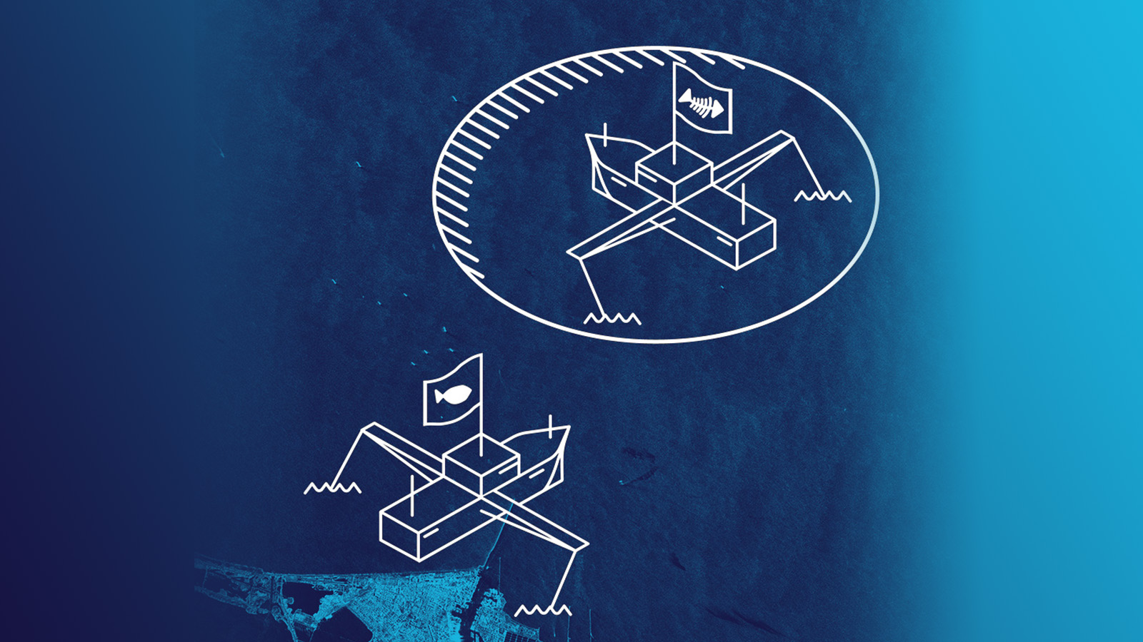
26 February 2020
7 min read
Earth observation technologies assist in patrolling distant-water fishing activities by detecting...
Read more about Supporting Remote Fishery Patrols to Effectively Stop IUU Fishing Activities →
11 February 2020
7 min read
Overcoming obstacles to launch satellites is about the personal journeys of those involved, as much...
Read more about Aerospace Engineer Zainab Saleem: Satellites, Women’s Empowerment and STEM →
29 January 2020
5 min read
Radar satellite technology enables valuable new solutions for improving agricultural governance and...
Read more about Turning over a New Leaf for Agricultural Financing with Frequent Crop Monitoring from Space →
08 January 2020
5 min read
Fast access to radar satellite imaging enables timely detection and validation of oil spills in...
Read more about Timely SAR Data Speeds Up Marine Oil Spill Response: Two Example Cases →
26 July 2019
6 min read
100% of satellite missions eventually end. New Space thinking is changing the way satellite...
Read more about Space Is Hard — New Space Is Changing the Way the Industry Thinks About Satellite Missions →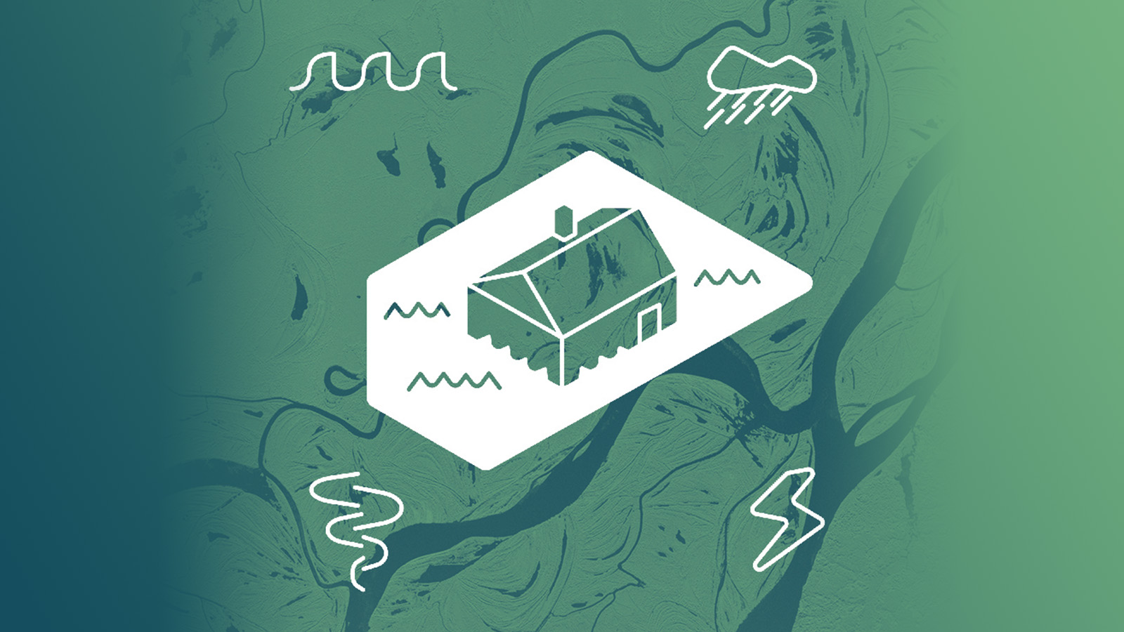
01 July 2019
5 min read
ICEYE’s radar satellite imaging technologies are ideal for developing highly competitive parametric...
Read more about SAR Satellite Data Paves Way Towards New Parametric Flood Insurance Products →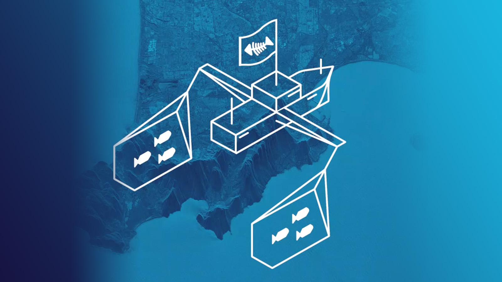
18 June 2019
5 min read
New radar satellite technologies will enhance detecting, monitoring and acting on suspicious...
Read more about How to Address Illegal Fishing in Asia with Actionable Satellite Data →