Contact us
Get in touch with our experts to find out the possibilities daily truth data holds for your organization.
Persistent Monitoring
Natural catastrophe solutions
30 June 2023 | Solutions,Insurance Solutions
5 min read
Solutions Marketing Manager, ICEYE

Interviewer: Brandon, can you shed light on the factors contributing to wildfires and their seasons?
Brandon: Absolutely. Wildfires are influenced by several variables, like dry conditions or lightning during thunderstorms, which can both trigger fires. The US, for instance, experiences drier conditions in the summer and fall, which increases the likelihood of wildfires. However, it's worth noting that wildfires aren't strictly season-bound.
So, are we moving towards a year-round wildfire season?
Brandon: Exactly. A fire can occur when conditions are hot and dry, regardless of the time of year. In places like California, there seems to be a shift towards year-round wildfire risk, depending on the prevailing meteorological conditions at any given moment. According to CalFire, six of the top seven largest wildfires on record in California (dating to 1932) burned between 2020-2021.
Also, in 2023, we were tracking wildfires in Nova Scotia, Canada, a location known for its damp conditions and colder climate. But even there, substantial fires were happening and burning several hundred structures as early as May, shortly after winter.
It sounds like wildfire prediction can be complex. What's ICEYE's approach?
Brandon: Predicting wildfires is indeed challenging due to their spontaneous nature. However, we've made it our mission to monitor wildfires across the US, especially in impactful areas, and this has become a year-round task. Like how we have always-on monitoring for floods, we're continually watching for fires to ensure readiness and provide timely data to those needing it.
ICEYE's in-house Meteorologist, Brandon Wright explains the challenges of monitoring wildfires globally.
Let us shift gears to another extreme weather event – could you tell us about traditional hurricane and typhoon seasons? What factors influence these seasonal forecasts?
Brandon: Certainly. In the Atlantic, the hurricane season traditionally runs from June 1st to the end of November. This year, NOAA predicts an average season with 12 to 17 total named storms and 5 to 9 potential hurricanes.
Typhoon season in the Pacific basin follows a similar pattern, typically peaking in the northern hemisphere's summer and fall. Several elements play into seasonal forecasting, including El Niño or La Niña conditions, ocean temperatures, and of course, climate change.
Could you elaborate on the impact of climate change on these events?
Brandon: While it’s crucial to look at long-term statistics when discussing climate change, the trend indicates an increase in the severity of these events. The most intriguing aspect to me is not necessarily the frequency of these storms, but the severity of certain ones. A case in point is Hurricane Harvey in 2017, which brought an unprecedented 60+ inches of rainfall to Houston. These events illustrate that we must always be prepared for the worst-case scenarios.
We also need to be mindful of the fact that climate change disproportionately impacts poor and vulnerable communities, where individuals and small businesses are particularly highly exposed to weather-related hazards and have low resilience to loss because they often have little or no financial backstop.
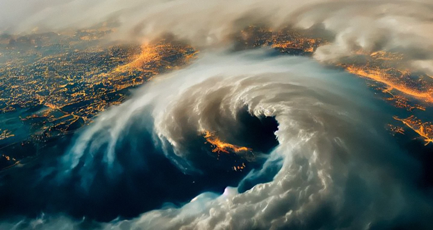
Brandon Wright and Pyry Poutanen are sharing their insights on the 2023 hurricane season.
How does ICEYE assist in preparing for and responding to such events?
Brandon: At ICEYE, we focus on providing timely information to aid decision-making before, during, and after these events. This data enables the appropriate responses, whether from a governmental standpoint in deploying resources or from an insurance perspective, to help people recover and get back on their feet.
Like wildfires, large-scale floods can often develop unexpectedly, making them difficult to model accurately. Flood waters can then be slow to recede. At the same time, darkness, clouds, and storm-force winds can make accessing and observing the worst-hit regions very challenging - even from aircraft, optical satellites or drones.
Can you explain how having our own SAR constellation contributes to the effectiveness of our data collection in the event of hurricanes?
Brandon: Absolutely. The more data you have, the higher the confidence in your findings. With ICEYE’s constellation, we can task our satellites to monitor any place in the world at any time. This is particularly beneficial when observing landfalling hurricanes. As the storm surge precedes the storm and flooding begins, satellites often can't see what's happening.
Earth observation from space, using cloud-penetrating radar satellite technology, can provide accurate insights into the situation on the ground in near real-time, with a resolution and scale that is unmatched by other approaches. Moreover, we can image at night, often being the first to document flooding when it occurs overnight. This comprehensive coverage enables swift response to disasters and gives us a head start in documenting and understanding these events.
11 December 2025
Cyclones Senyar and Ditwah: Flooding impact across Sri Lanka, Indonesia, and Thailand
2025 Cyclone Season: Insights on Cyclones Senyar and Ditwah, two powerful storms that formed in the...
Read more about Cyclones Senyar and Ditwah: Flooding impact across Sri Lanka, Indonesia, and Thailand →28 October 2025
Flood Ready: How insurers can act faster with satellite insights
Discover how satellite flood monitoring helps insurers gain real-time situational awareness and...
Read more about Flood Ready: How insurers can act faster with satellite insights →15 October 2025
From forecast to fact: Multi-peril data for insurers
ICEYE's Monte Carlo workshop revealed how SAR satellite data transforms hurricane response and...
Read more about From forecast to fact: Multi-peril data for insurers →