Contact us
Get in touch with our experts to find out the possibilities daily truth data holds for your organization.
Persistent Monitoring
Natural catastrophe solutions

Leverage near real-time geospatial insights to assess the true impact of natural disasters at the community level.
.png?)
NEW CASE STUDY
How ICEYE Flood Insights supported emergency response, infrastructure assessment, and long-term recovery during the catastrophic flooding in southern Brazil in 2024 and 2025.
NEW PRODUCT
ICEYE’s Flood Rapid Impact delivers fast, automated insights during flood events using SAR (Synthetic Aperture Radar) imagery, even through cloud coverage. The product generates accurate flood extent snapshots within hours to support early response efforts.
Activated at the first signs of flooding, FRI continuously processes data and releases updated flood extent within hours, rather than days. Designed for timely decision-making, it emphasizes reliable detection and frequent updates throughout the event.
By operating the world's largest constellation of SAR satellites, ICEYE enables government agencies to monitor the near real-time impact and extent of natural disasters at the community level. Transform your government-led disaster response, recovery, and mitigation efforts with uninterrupted visibility on the ground – day or night, and in any weather conditions.
Satellite-based insights enable government agencies to understand community impacts as a disaster unfolds. Visualize observational data and vulnerable properties in near real-time for unparalleled situational awareness on the ground.
Rather than wait days or more for outside help, ICEYE empowers emergency managers to proactively lead disaster response and recovery efforts. Arm your teams with a single source of truth using GIS-enabled disaster intelligence.
With access to reliable disaster impact data in near real-time, your government can better protect its most vulnerable communities, assets, and infrastructure. Discover how ICEYE can enhance local recovery and resilience efforts.

NEW CASE STUDY
How ICEYE Flood Insights supported situational awareness and post-event validation during Ex-Tropical Cyclone Alfred.
Flood Resilience eBook

Government solutions for disaster response & recovery
Discover how ICEYE's rapid geospatial intelligence can improve government-led disaster response efforts and improve community resilience in a changing climate.
Building-level disaster insights allow state, local, and federal governments to quickly support affected communities. With actionable GIS data, leaders can better optimize their emergency planning across various agencies and locations.
With access to reliable disaster impact data in near real-time, your government can better protect its most vulnerable communities, assets, and infrastructure. Discover how ICEYE can improve local recovery and resilience efforts.
Enable rapid payouts to displaced families and businesses by using ICEYE data to fuel new parametric and community-based insurance. These innovative programs can provide essential aid long before federal disaster funds arrive.
ICEYE's disaster insights support more than just emergency response. By sharing GIS-enabled intel across agencies, you can inform community resilience projects for utilities, water supplies, infrastructure, hospitals, and more.
ICEYE's natural disaster intelligence suite helps government agencies manage and mitigate catastrophes and build more resilient communities. Discover how sharing GIS-compatible insights across teams can optimize emergency management and response on the ground. Learn more about ICEYE's Flood Insights and Wildfire Insights now.

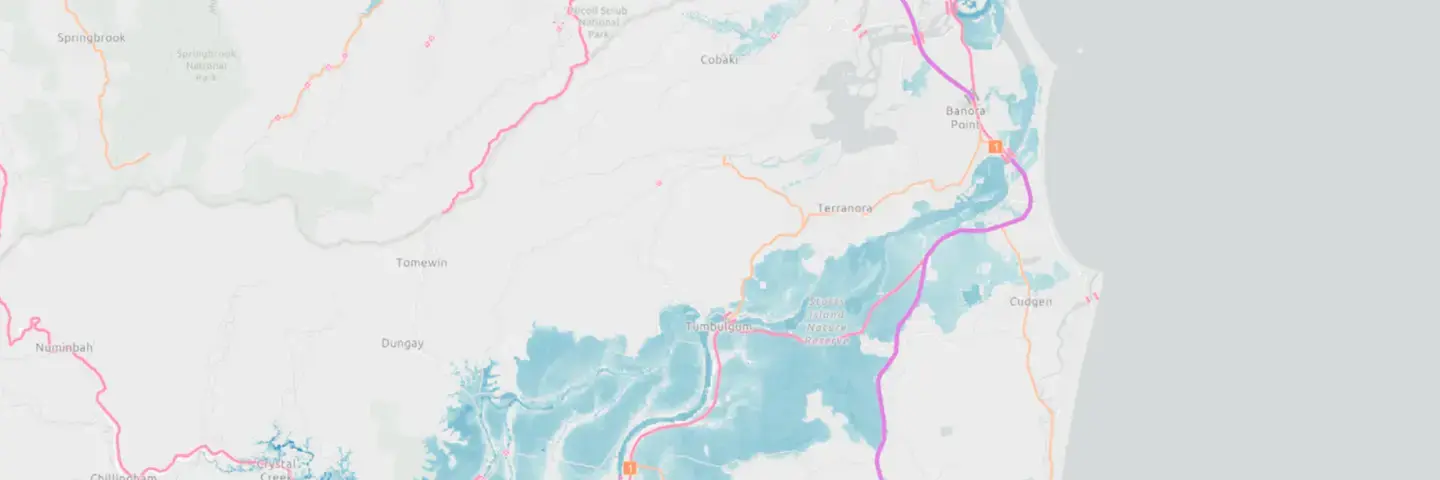
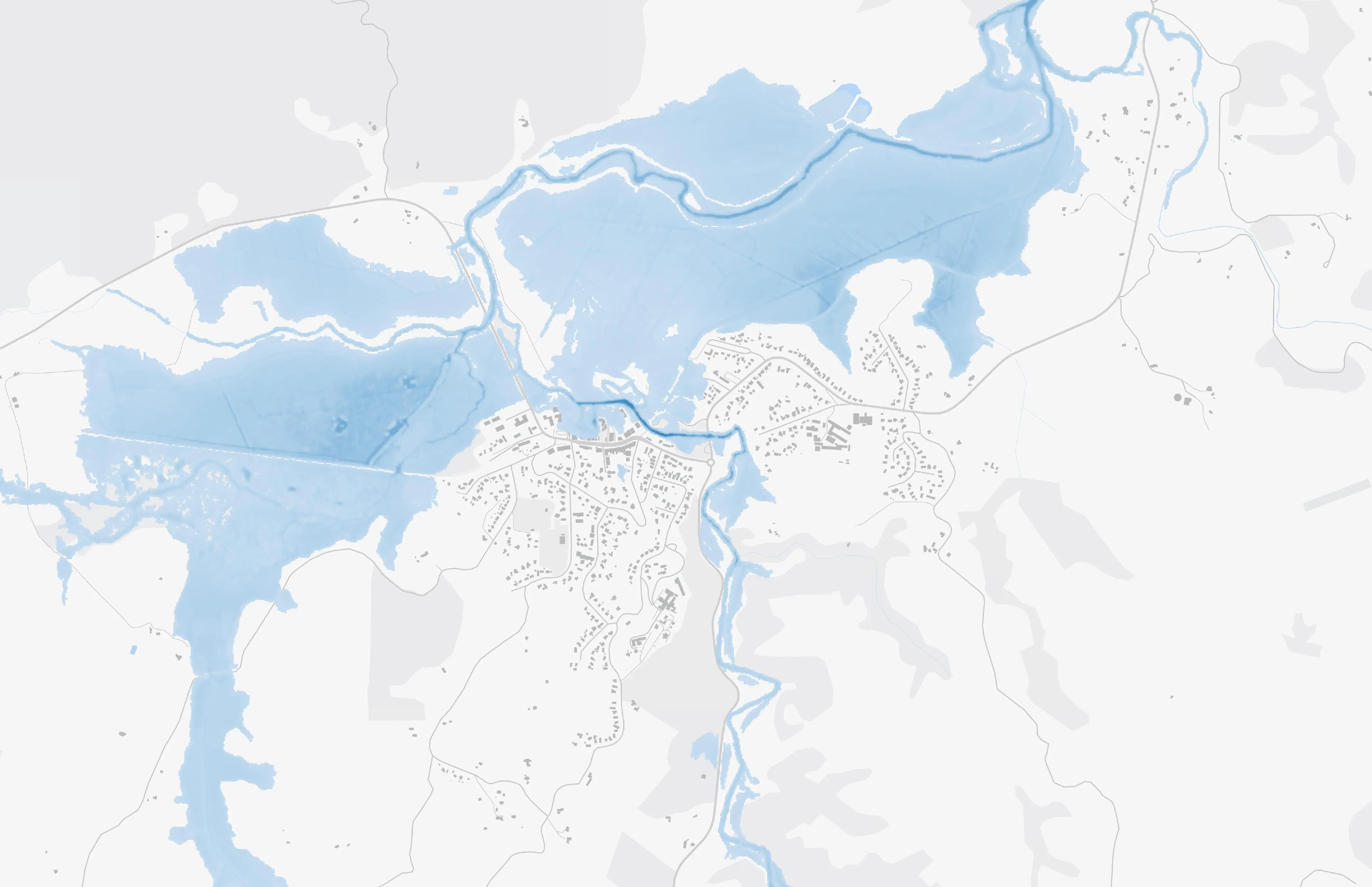
Quickly assess local flood impacts with near real-time depth and extent data inside your GIS. ICEYE's flood intelligence is powered by the world's largest constellation of SAR microsatellites.

An innovative way to detect large changes to building structures after landfall of major hurricanes in the US and cyclones in Australia. This product is currently in Beta and open for select Test customers

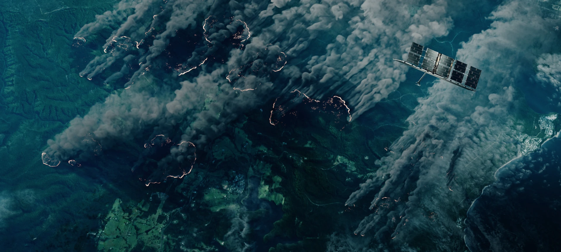
Monitor active wildfires and assess building-level impacts in near real-time. ICEYE's unique SAR satellites capture through smoke, clouds, and darkness for unprecedented visibility during active events.

BETA
Next-generation, actionable intelligence service designed to detect and prevent deforestation in near real time. High-frequency, SAR-based monitoring and alerting capable of detecting new forest clearing through clouds, smoke, and darkness. Now available in BETA for select regions.

A BBC StoryWorks Commercial Production
A new series presented by the World Ocean Council, produced by BBC Storyworks Commercial Productions, explores the vital connection between the oceans and our planet. Watch the 5-minute ICEYE episode to see how ICEYE’s technology is building resilience against climate-related challenges.
Browse our library of government-focused research and insights provided by ICEYE experts.
Government & utilities webinar
government & utilities webinar

Geospatial Insights
Learn how ICEYE's global, near real-time flood insights are delivered directly to government agencies inside ArcGIS.
ICEYE's always-on flood monitoring has analyzed 150+ global events since 2021, supporting government agencies across North America, EMEA, and APAC.
November 2024
Download ICEYE's analysis on the severe flash flooding from the DANA Storm in November 2024.
October 2024
Download ICEYE's analysis on the flooding from Hurricane Milton in October 2024.
October 2024
Download ICEYE's analysis on the flooding from Hurricane Helene in September 2024.
Connect with our Government Solutions team to discuss how ICEYE can help optimize disaster management and strengthen your community resilience.