Contact us
Get in touch with our experts to find out the possibilities daily truth data holds for your organization.


25 June 2026
6 min read
ICEYE speaks with Dr. Lilian Pintea, head of Conservation Science at JGI, about why Synthetic...
Read more about How the Jane Goodall Institute uses ICEYE SAR to protect ecosystems →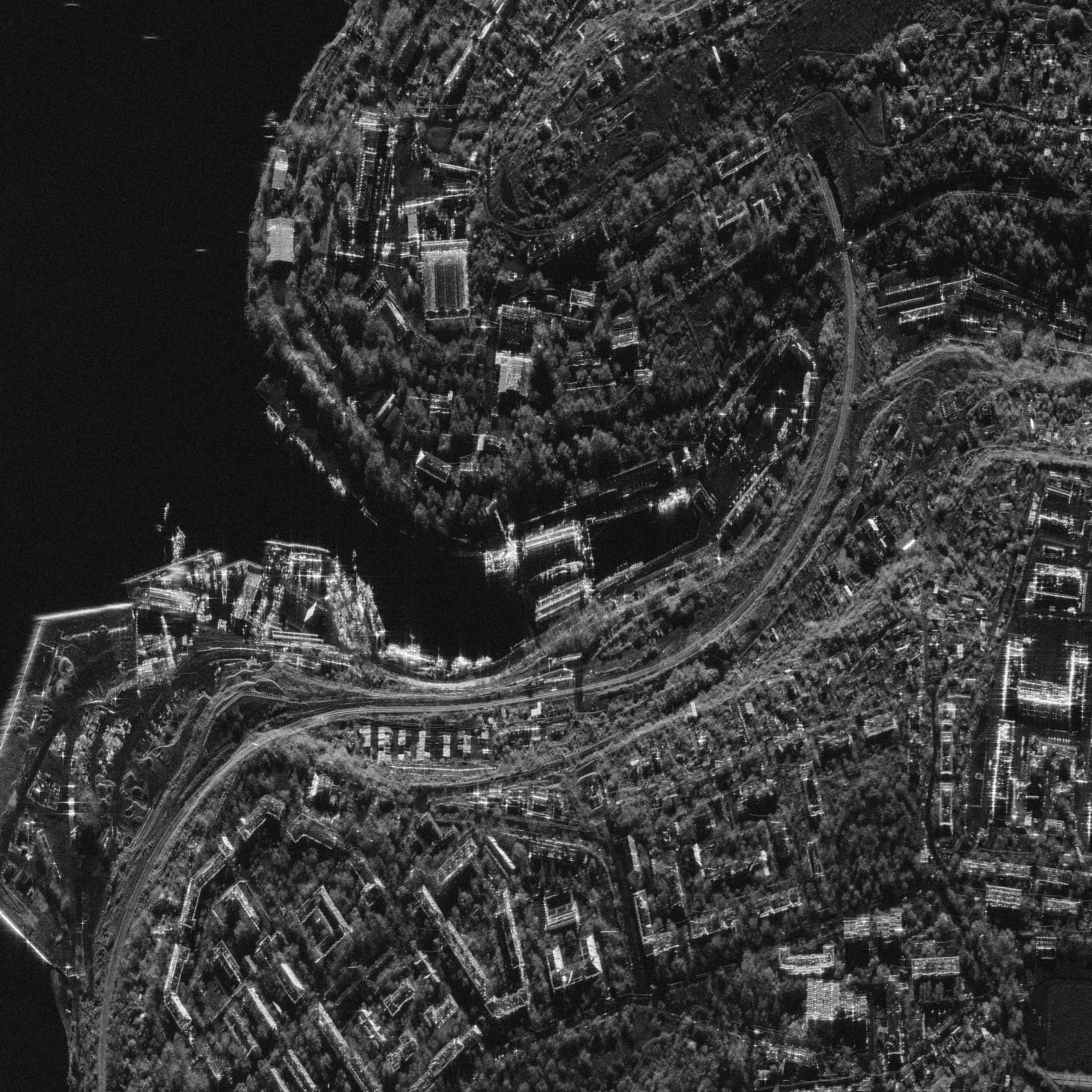
22 June 2026
5 min read
Discover how the Danish military's training with ICEYE highlights the effectiveness of SAR...
Read more about What Danish military training revealed about SAR and decoys →
Sign up for our Insurance Newsletter for regular updates about ICEYE products and exclusive insights on the most pressing natural catastrophes delivered to your inbox.

03 June 2026
13 min read
ICEYE's Sami Niemelä and Timo Lehto make the case for 15-minute image delivery as a repeatable...
Read more about Beyond the Echo - Latency: The Ability to Act →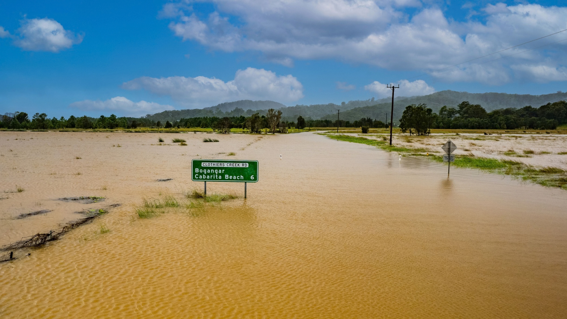
14 May 2026
7 min read
How to use Esri’s ArcGIS Online and ICEYE’s Flood Insights for actionable intelligence.
Read more about How to unlock resilience for emergency response in Australia →
06 May 2026
4 min read
Discover how space-based ISR enhances tactical operations in dispersed combat, enabling rapid...
Read more about How space-based ISR supports dispersed combat operations →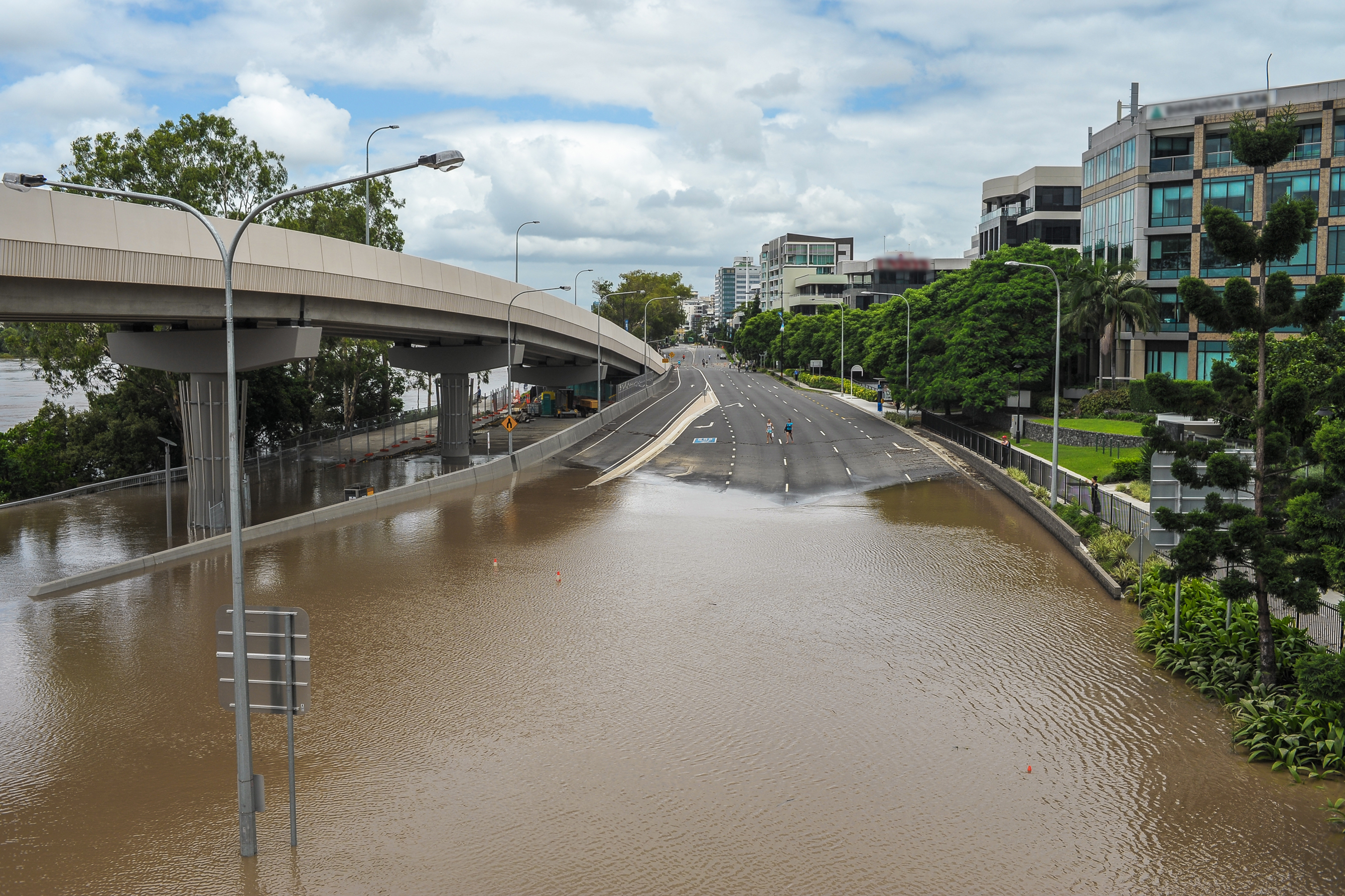
18 March 2026
16 min read
Learn how ICEYE’s technology delivers decision-ready data through smoke, cloud, and darkness for...
Read more about How to close the disaster intelligence gap in Australia →
23 January 2026
6 min read
Director of Product Management Udo Szabo explains how the federated model evolved from an idea into...
Read more about Federation: The next step in space-based ISR →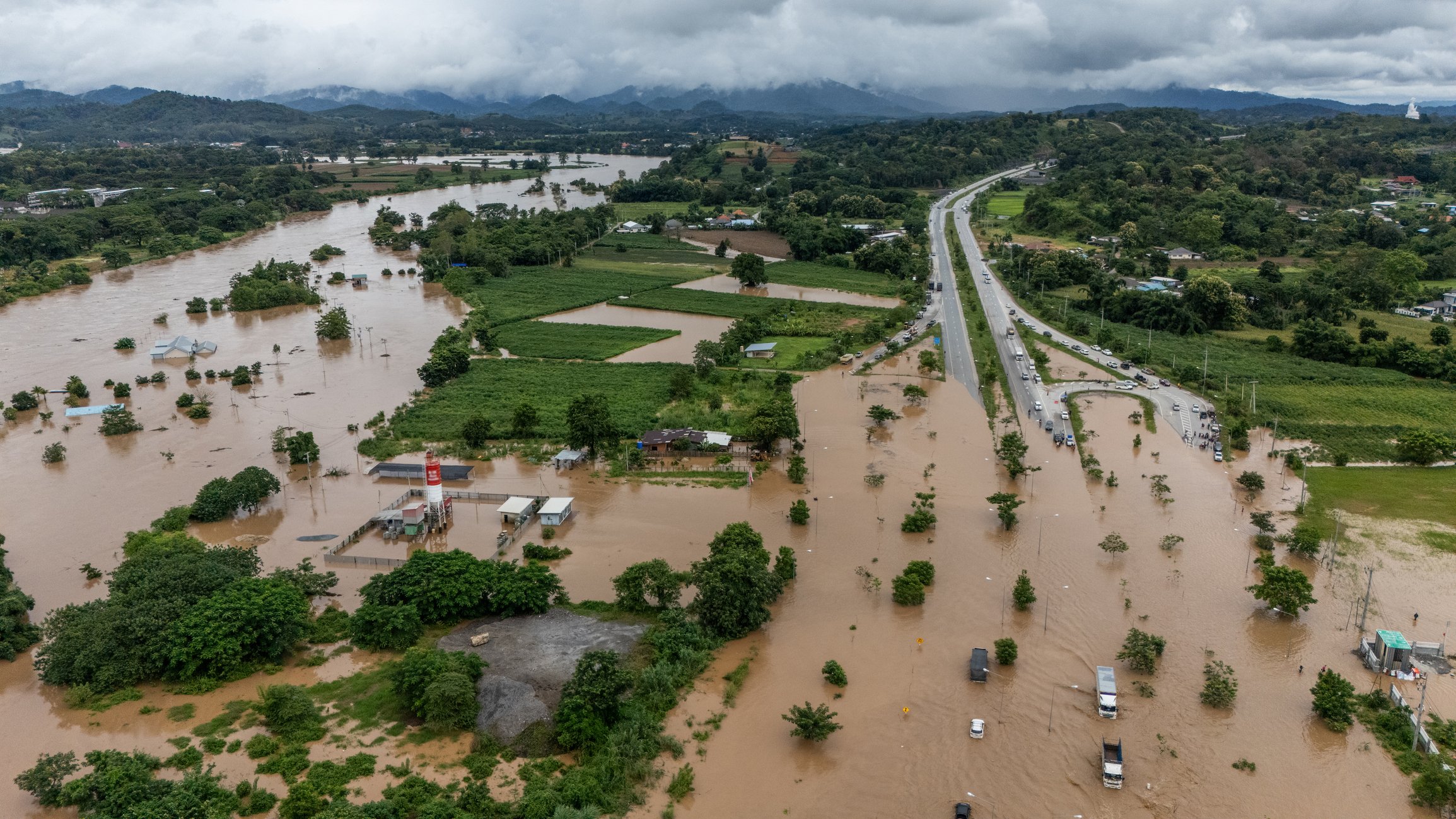
11 December 2025
1 min read
2025 Cyclone Season: Insights on Cyclones Senyar and Ditwah, two powerful storms that formed in the...
Read more about Cyclones Senyar and Ditwah: Flooding impact across Sri Lanka, Indonesia, and Thailand →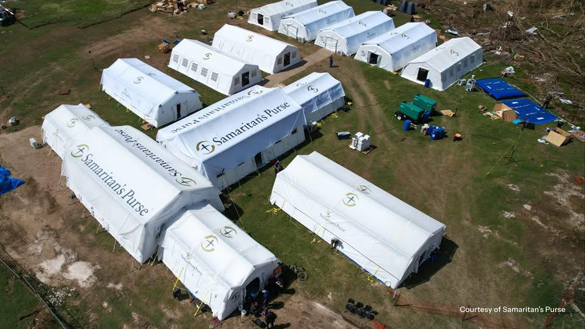
04 December 2025
7 min read
In the wake of Hurricane Melissa, ICEYE made its Flood Rapid Impact data and Hurricane Rapid Impact...
Read more about Using near-real time data to expedite Hurricane Melissa disaster response →
06 November 2025
13 min read
Shikha Sharma and Leszek Lamentowski reveal the technology behind ICEYE SAR satellite agility.
Read more about Beyond the Echo - How satellites steer the radar beam →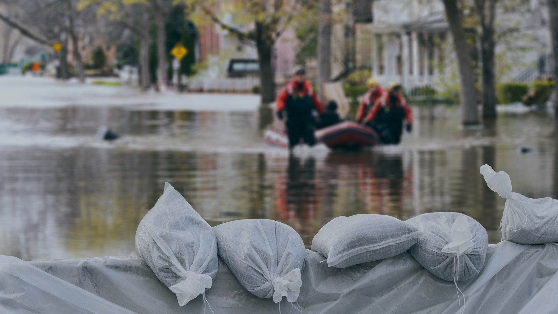
28 October 2025
11 min read
Discover how satellite flood monitoring helps insurers gain real-time situational awareness and...
Read more about Flood Ready: How insurers can act faster with satellite insights →