Contact us
Get in touch with our experts to find out the possibilities daily truth data holds for your organization.


16 December 2024
8 min read
Read ICEYE's summary of the 2024 Atlantic hurricane season to understand trends, impacts, and...
Read more about Atlantic hurricane season 2024 wrap-up: trends, impacts, and future risks →
03 December 2024
9 min read
Darren Muff and the ICEYE team take a closer look at two MI-26 Hind helicopters captured in SAR...
Read more about Beyond the Echo - Helicopter rotor signature on SAR imagery →
Sign up for our Insurance Newsletter for regular updates about ICEYE products and exclusive insights on the most pressing natural catastrophes delivered to your inbox.

28 November 2024
11 min read
The ICEYE SAR constellation gathers enough data to produce a wide variety of images; from...
Read more about Discover the diversity of SAR imagery →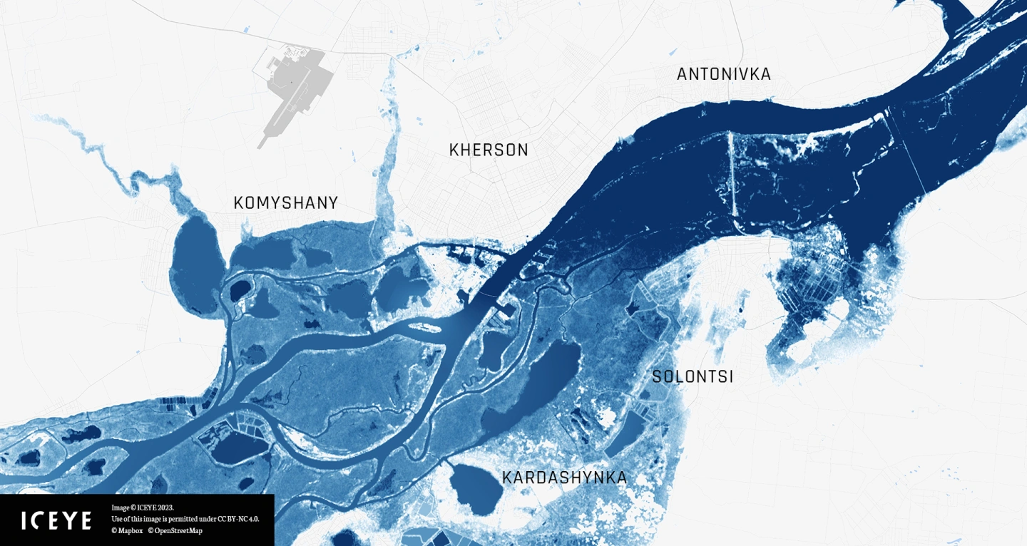
20 November 2024
7 min read
This tutorial guides you step-by-step to explore and visualize flood data for the Kakhova Dam...
Read more about Celebrate GIS Day with ICEYE and Esri’s ArcGIS Living Atlas →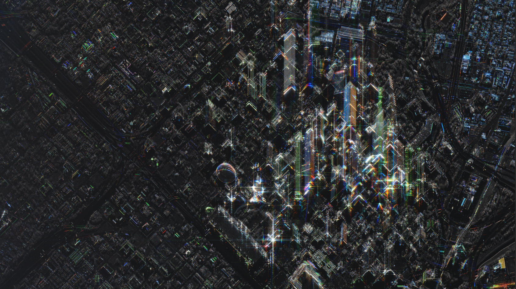
08 November 2024
16 min read
SAR images are produced using microwaves rather than visual wavelengths. Learn how SAR differs from...
Read more about Seeing the world through SAR →
30 October 2024
5 min read
Darren Muff and the ICEYE team explore how many images ICEYE SAR satellites could collect when...
Read more about Beyond the Echo - Phased array with small satellites →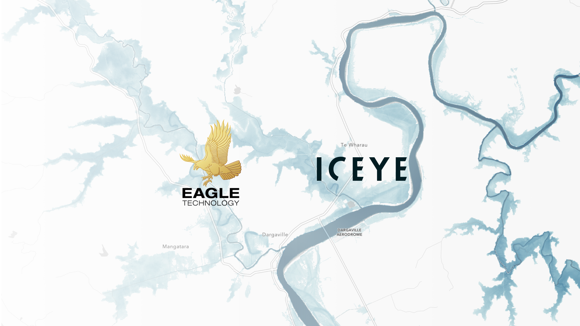
17 October 2024
4 min read
Explore ICEYE Flood Insights' role in enhancing New Zealand flood response efforts and disaster...
Read more about Effective flood response with ICEYE Flood Insights in New Zealand →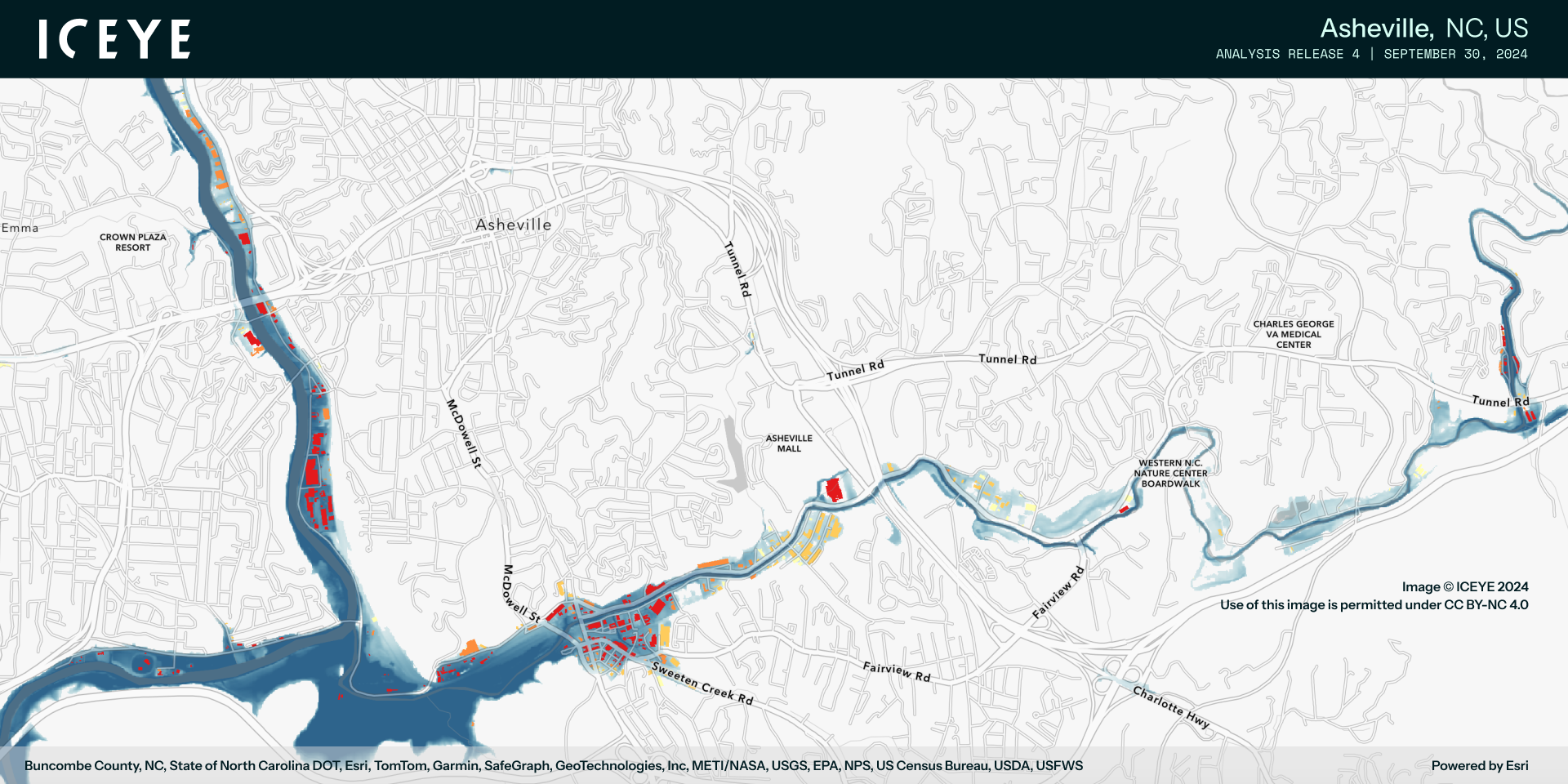
30 September 2024
8 min read
Access ICEYE's observed data on Hurricane Helene and its impact in the Florida panhandle, Georgia...
Read more about Monitoring Hurricane Helene: satellite-powered insights →
17 September 2024
10 min read
Learn about ICEYE synthetic aperture radar (SAR) imaging techniques and how radar impulses are used...
Read more about Beginner’s guide to synthetic aperture radar (SAR) technology →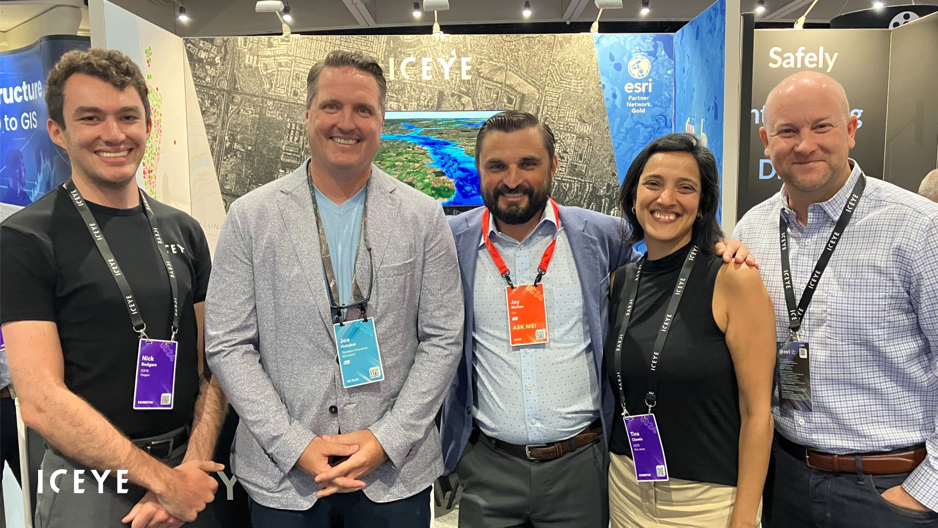
25 July 2024
6 min read
Discover how ICEYE is advancing satellite-powered disaster response and emergency management at...
Read more about Shaping the future of satellite-powered disaster response →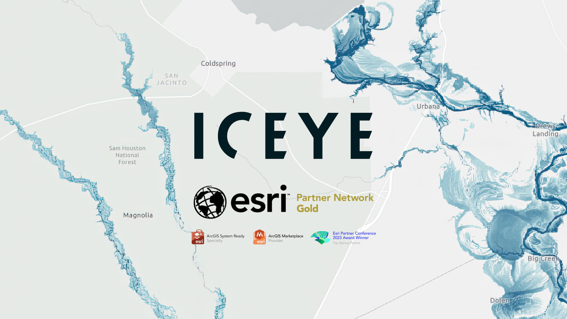
10 June 2024
3 min read
ICEYE, a global leader in satellite-powered disaster management solutions, announced this month it...
Read more about ICEYE becomes Esri Gold Partner amid growing footprint in GIS ecosystem →