Contact us
Get in touch with our experts to find out the possibilities daily truth data holds for your organization.



25 July 2024
6 min read
Discover how ICEYE is advancing satellite-powered disaster response and emergency management at...
Read more about Shaping the future of satellite-powered disaster response →
10 June 2024
3 min read
ICEYE, a global leader in satellite-powered disaster management solutions, announced this month it...
Read more about ICEYE becomes Esri Gold Partner amid growing footprint in GIS ecosystem →
Sign up for our Insurance Newsletter for regular updates about ICEYE products and exclusive insights on the most pressing natural catastrophes delivered to your inbox.

05 June 2024
1 min read
Learn how ICEYE is partnering with the UN Global Compact to integrate key sustainability principles...
Read more about ICEYE joins the United Nations Global Compact to advance sustainability and corporate responsibility →
08 May 2024
5 min read
Learn about El Niño and La Niña's impact on the 2024 hurricane season with expert insights from...
Read more about Understanding El Niño and La Niña: A Meteorologist's perspective on the upcoming hurricane season →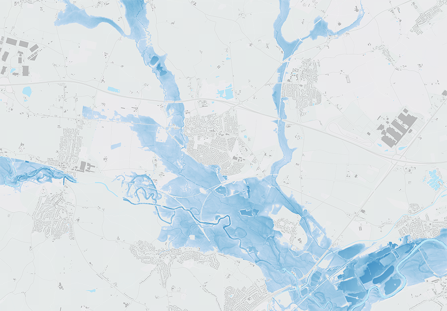
22 April 2024
6 min read
Learn how radar satellites can transform flood surge response for UK insurers, providing accurate...
Read more about How radar satellites are transforming flood surge event response for UK insurers →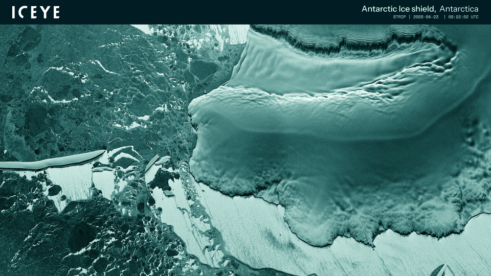
22 March 2024
3 min read
ICEYE’s journey started ten years ago with an idea to monitor the movements of the Arctic ice –...
Read more about ICEYE cooperates with WWF to protect ‘blue corridors’ - whales’ migration routes in the Arctic →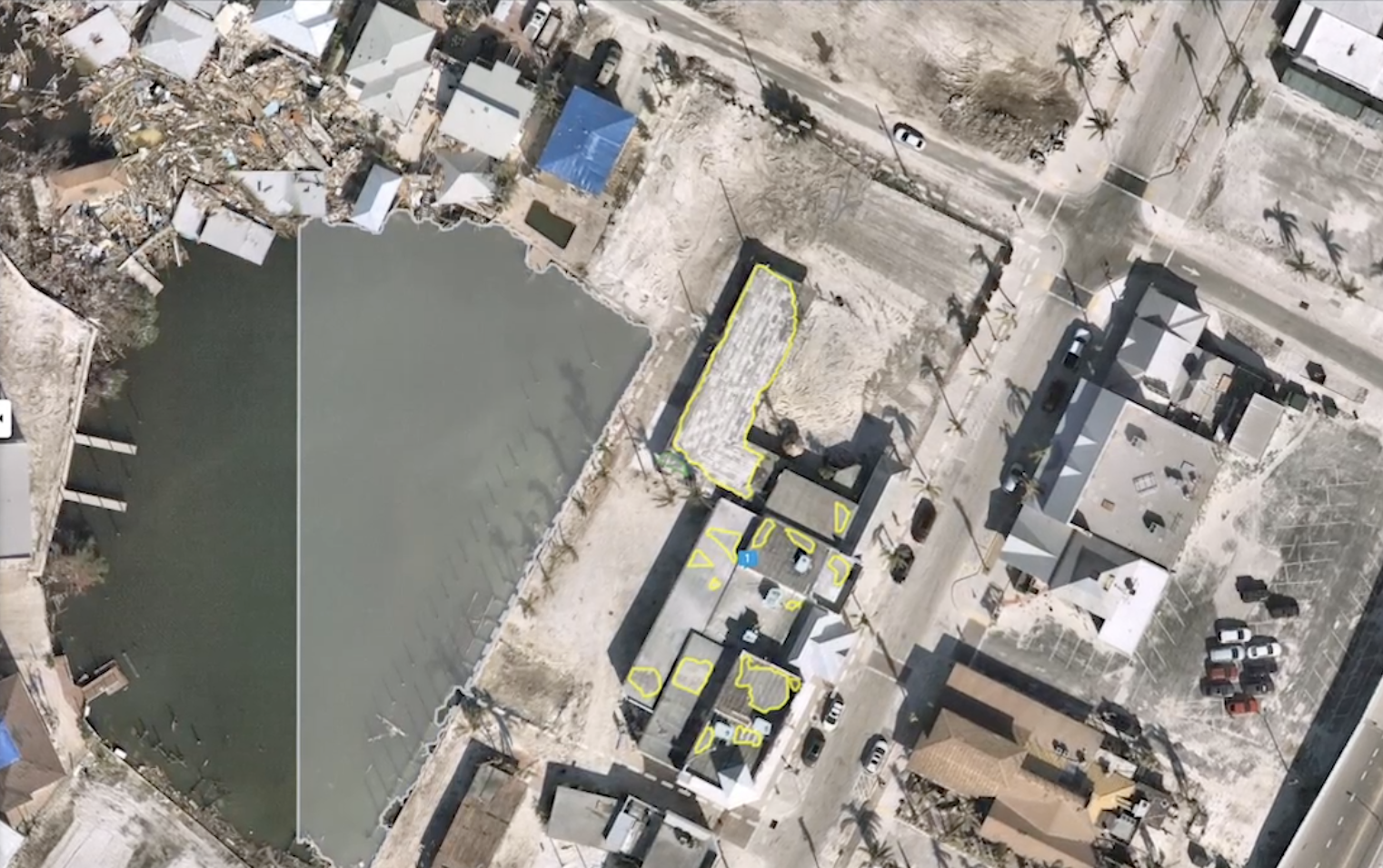
28 February 2024
6 min read
Explore how geospatial property intelligence is revolutionizing insurers' approach to managing...
Read more about Managing climate risk with geospatial property intelligence for the insurance sector →
23 February 2024
7 min read
See the highlights from Esri FedGIS 2024 and learn how ICEYE's satellite-powered disaster...
Read more about See our photos, highlights, & commentary from Esri FedGIS 2024 →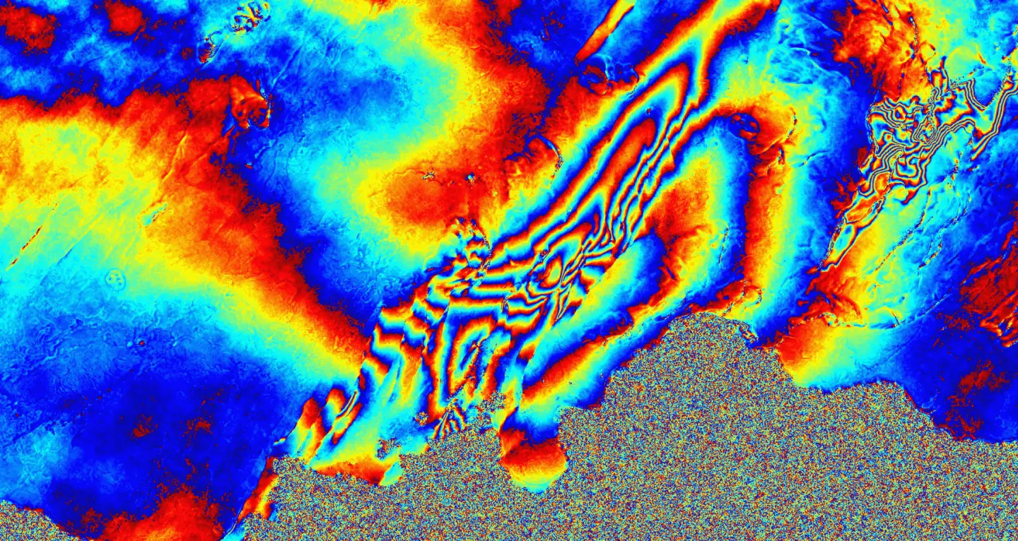
17 November 2023
4 min read
Our Interferometric Synthetic Aperture Radar (InSAR) is assisting the Icelandic Met Office with...
Read more about ICEYE Interferometric Analysis: Monitoring Potential Volcanic Eruption in Iceland →
09 November 2023
3 min read
Learn more about ICEYE's new partnership with the European Space Agency (ESA) to develop an...
Read more about A New Frontier in Earth Observation: The ICEYE x European Space Agency (ESA) Partnership →
30 August 2023
6 min read
We gathered 10 burning questions to help you better understand the art of the possible with our...
Read more about 10 Burning Questions About Rapid Building-Level Damage Detection - Demystifying ICEYE Wildfire Insights →