Contact us
Get in touch with our experts to find out the possibilities daily truth data holds for your organization.

Your one-stop shop for rapid hazard and damage data for hurricanes, wildfires, and flood events.
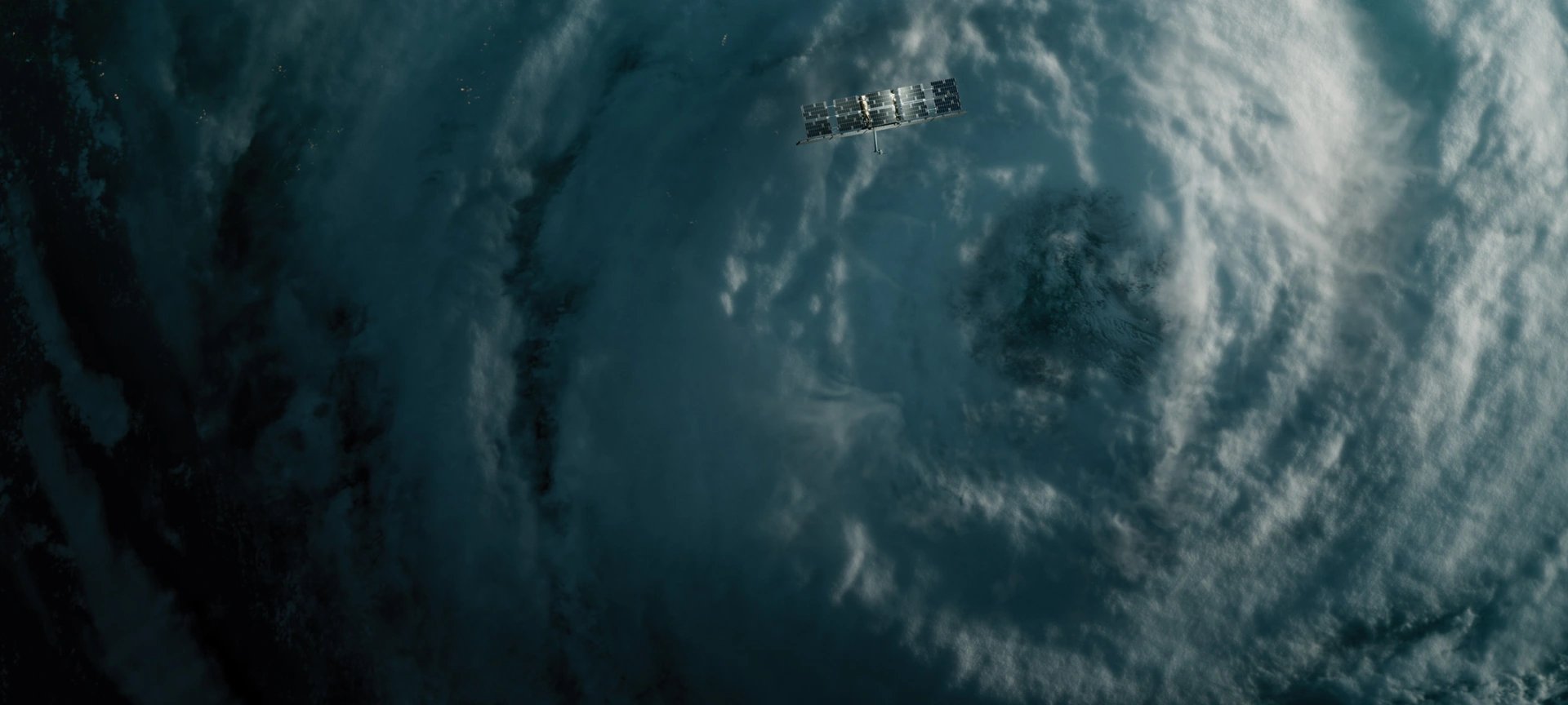
At the core of our data is ICEYE’s advanced Synthetic Aperture Radar (SAR) technology, powered by the world's largest SAR satellite constellation.
Unlike optical sensors, our SAR technology operates around the clock, capturing high-resolution imagery day or night, in any weather conditions, and even through smoke and ash. This ensures reliable, timely insights when insurers need them most.
With multiple imaging modes and a highly agile constellation, we provide rapid coverage of large-scale events with frequent visit rates, enabling insurers to track disaster progression in near real-time.
Our product roadmap is driven by the unique needs of the P&C insurance ecosystem. Our dedicated teams are led by experts from insurance, reinsurance, meteorology, hydrology, and GIS domains.
Gain access to ICEYE's high-resolution hurricane impact data as structured geospatial files within 24 hours of landfall—often before skies clear.
Our solution includes a 30-meter resolution Rapid Impact heat map and building-level flood depth footprint, released as GIS-compatible files and summary reports. Updates are delivered every 24 hours throughout the event, enabling insurers to track evolving conditions in near real-time.
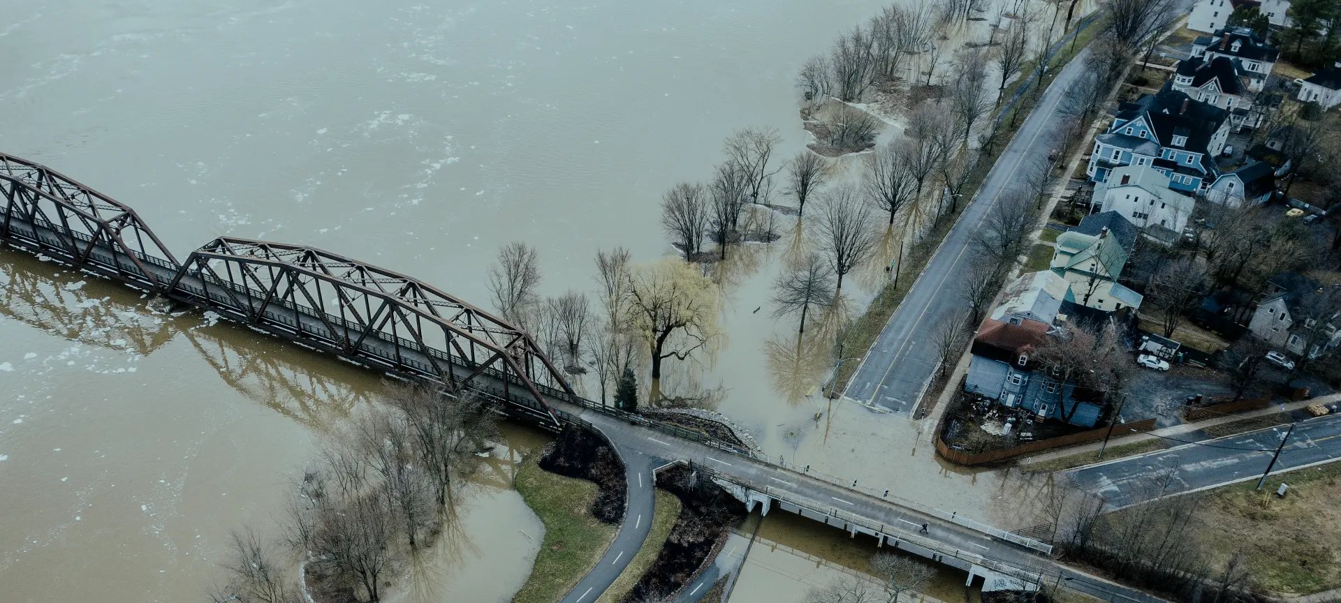
ICEYE Flood Solutions is the world’s first consistent, near real-time source of flood observation data. We keep our customers informed on what flood events we’re expecting, currently observing, or actively analyzing, delivering detailed data layers and summary reports for each analyzed event.
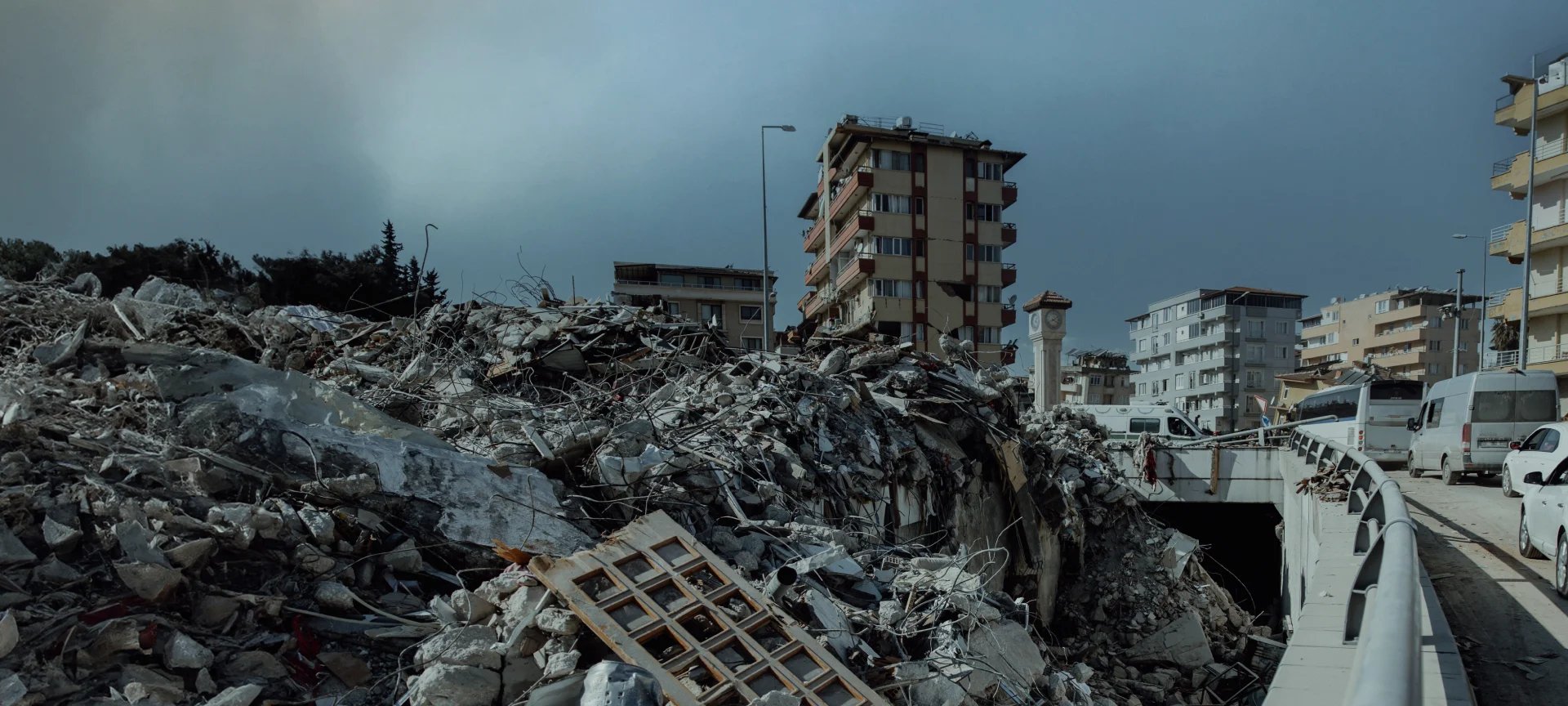
Benefit from earthquake-triggered change detection with targeted fire damage assessments. We deliver a building-level view of destruction within hours, enabling insurers to validate losses, prioritize response, and size event impact with confidence.
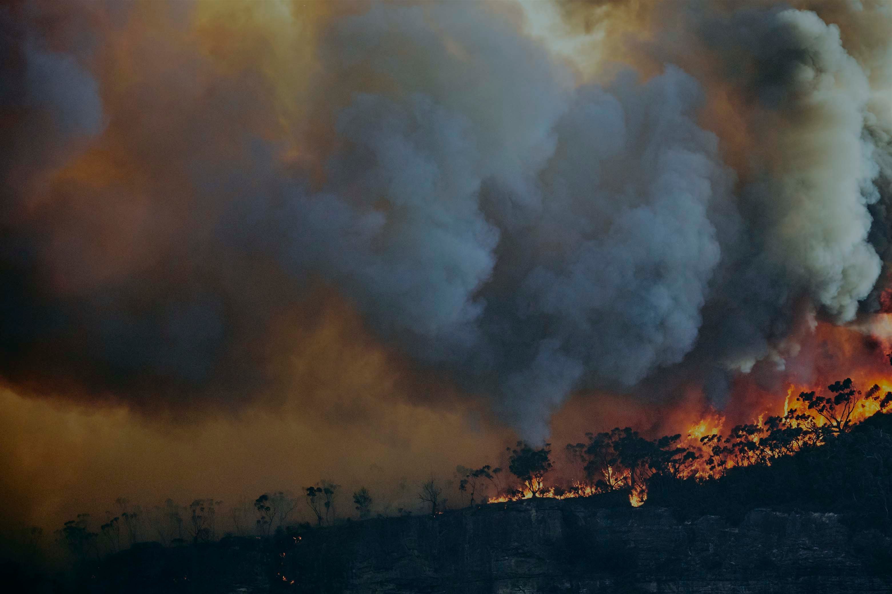
Respond to wildfires by leveraging fast and accurate building-level damage detection data, delivered every 24 hours during active wildfire events.
Gain a comprehensive situational picture within hours—long before aerial surveys or drones can operate—regardless of the event’s scale or evolving conditions.
Quickly assess financial impact with high accuracy, supporting early reinsurer cash calls and mitigating loss creep.
Conduct rapid impact assessments across the entire affected area, pinpointing the hardest-hit locations and determining necessary field and operational capacity.
Ensure you are first boots on the ground to reach the areas of most concentrated impact, streamlining procurement, and field operations.
Identify high-risk locations before disasters strike for more informed underwriting decisions while enabling proactive loss mitigation during events.
Enhance premium accuracy by updating vendor models with real-time, observed catastrophe data.
Support innovative propositions such as remote claims settlements and parametric trigger solutions.
Define, deploy, and lift embargoes with confidence while strengthening fraud detection and scoring.

ICEYE Blog • May 13, 2026 • 7 min read

ICEYE Blog • March 18, 2026 • 16 min read

ICEYE Blog • December 11, 2025 • 1 min read

ICEYE Blog • October 28, 2025 • 11 min read

ICEYE Blog • October 15, 2025 • 11 min read


