Contact us
Get in touch with our experts to find out the possibilities daily truth data holds for your organization.
Persistent Monitoring
Natural catastrophe solutions

23 January 2026
6 min read
Director of Product Management Udo Szabo explains how the federated model evolved from an idea into...
Read more about Federation: The next step in space-based ISR →11 December 2025
1 min read
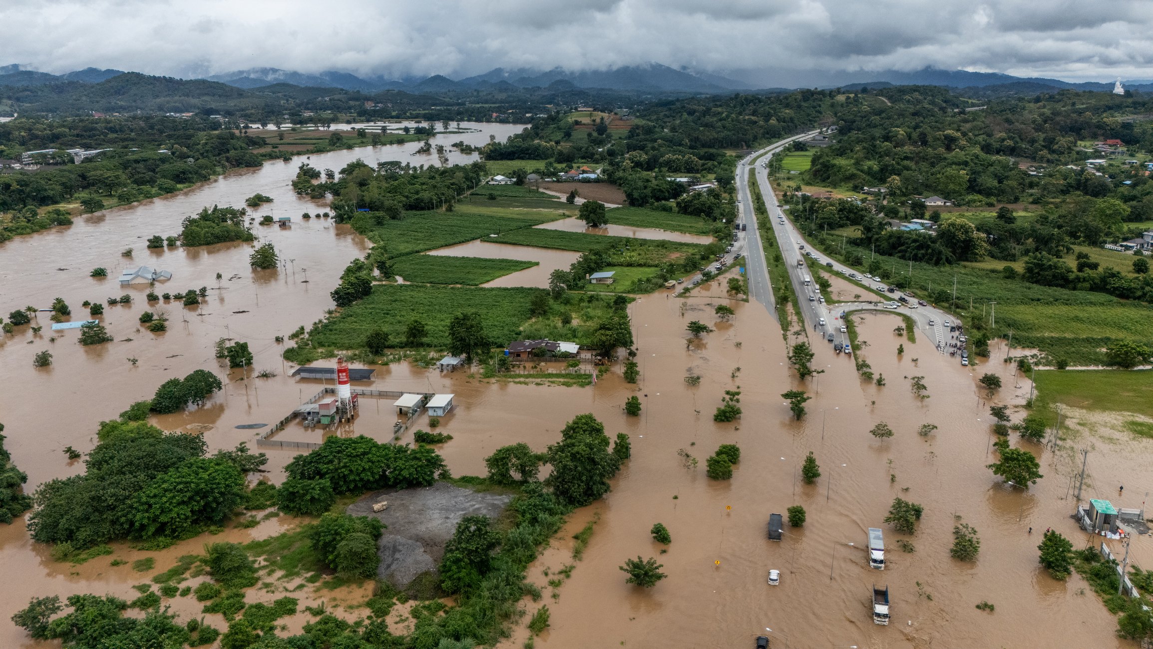
2025 Cyclone Season: Insights on Cyclones Senyar and Ditwah, two powerful storms that formed in the...
Read more about Cyclones Senyar and Ditwah: Flooding impact across Sri Lanka, Indonesia, and Thailand →
Sign up for our Insurance Newsletter for regular updates about ICEYE products and exclusive insights on the most pressing natural catastrophes delivered to your inbox.
04 December 2025
6 min read
In the wake of Hurricane Melissa, ICEYE made its Flood Rapid Impact data and Hurricane Rapid Impact...
Read more about Using near-real time data to expedite Hurricane Melissa disaster response →06 November 2025
13 min read
Shikha Sharma and Leszek Lamentowski reveal the technology behind ICEYE SAR satellite agility.
Read more about Beyond the Echo - How satellites steer the radar beam →28 October 2025
11 min read
Discover how satellite flood monitoring helps insurers gain real-time situational awareness and...
Read more about Flood Ready: How insurers can act faster with satellite insights →16 October 2025
8 min read
ICEYE uses SAR data to help utilities identify structures at risk, reduce power downtime, and...
Read more about 5 ways U.S. electric and water utilities can recover faster and respond smarter to floods using near real-time satellite data →15 October 2025
11 min read
ICEYE's Monte Carlo workshop revealed how SAR satellite data transforms hurricane response and...
Read more about From forecast to fact: Multi-peril data for insurers →27 June 2025
7 min read
Shikha Sharma and the ICEYE team explore physical maneuver, electronic beam steering, and optimized...
Read more about Beyond the Echo - Rapid-fire imaging, on repeat →11 June 2025
10 min read
How Emergency Managers can ensure data readiness ahead of hurricane seasons.
Read more about 6 Data-driven strategies emergency managers should use for hurricane preparedness →27 May 2025
13 min read
Discover how ICEYE’s Hurricane Solution gives insurers 24-hour wind & flood insights, enabling...
Read more about Hurricane Solution FAQ for insurers →24 April 2025
9 min read
Discover the key climate factors shaping the 2025 hurricane season and why accurate observation is...
Read more about Forecasting complexity: What the 2025 hurricane season brings for disaster response →