Contact us
Get in touch with our experts to find out the possibilities daily truth data holds for your organization.

04 December 2025
7 min read
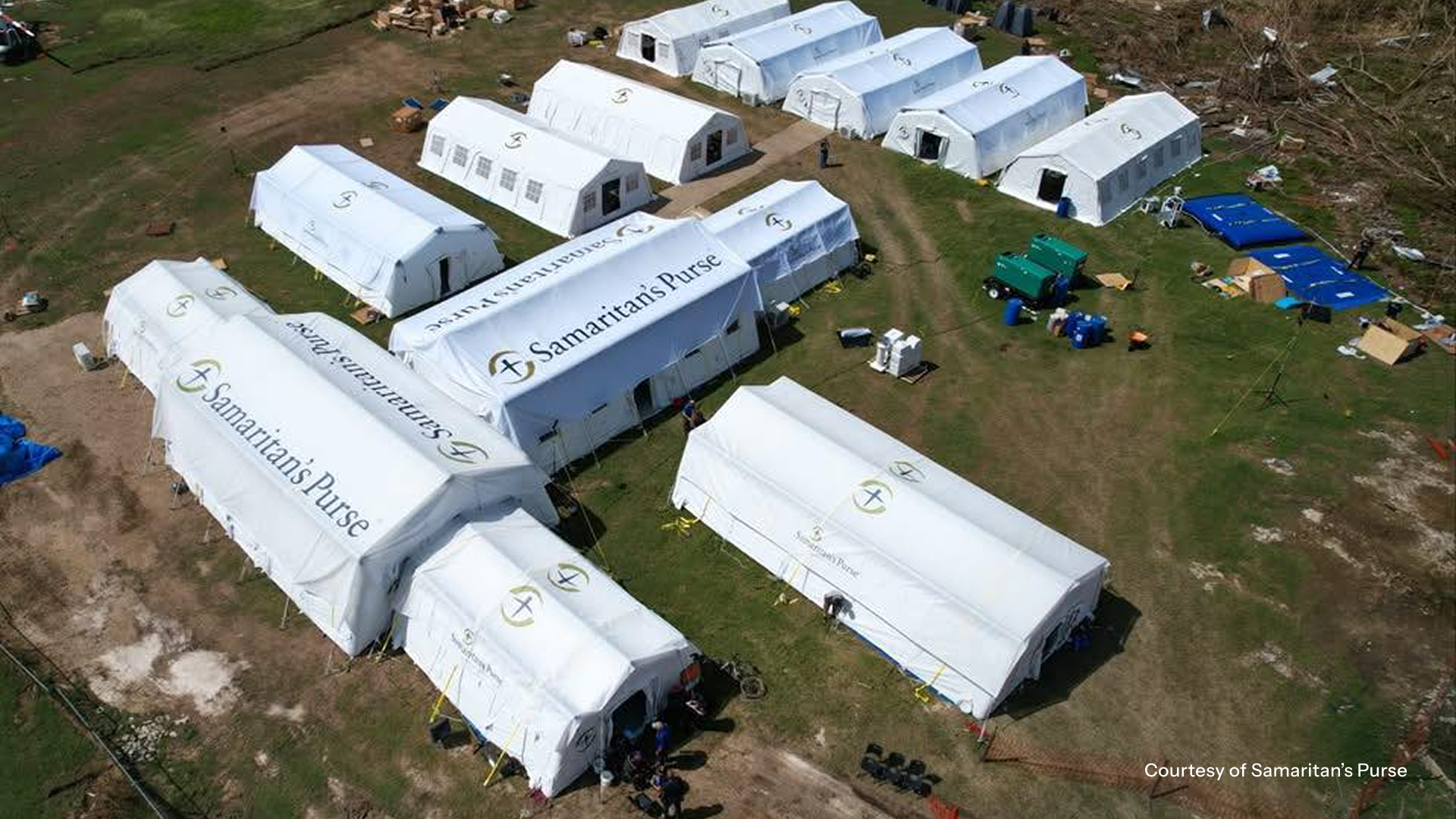
In the wake of Hurricane Melissa, ICEYE made its Flood Rapid Impact data and Hurricane Rapid Impact...
Read more about Using near-real time data to expedite Hurricane Melissa disaster response →
06 November 2025
13 min read
Shikha Sharma and Leszek Lamentowski reveal the technology behind ICEYE SAR satellite agility.
Read more about Beyond the Echo - How satellites steer the radar beam →
Sign up for our Insurance Newsletter for regular updates about ICEYE products and exclusive insights on the most pressing natural catastrophes delivered to your inbox.

28 October 2025
11 min read
Discover how satellite flood monitoring helps insurers gain real-time situational awareness and...
Read more about Flood Ready: How insurers can act faster with satellite insights →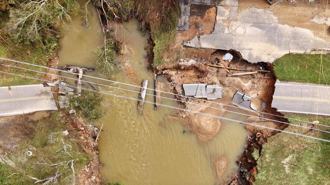
16 October 2025
8 min read
ICEYE uses SAR data to help utilities identify structures at risk, reduce power downtime, and...
Read more about 5 ways U.S. electric and water utilities can recover faster and respond smarter to floods using near real-time satellite data →
15 October 2025
11 min read
ICEYE's Monte Carlo workshop revealed how SAR satellite data transforms hurricane response and...
Read more about From forecast to fact: Multi-peril data for insurers →
27 June 2025
7 min read
Shikha Sharma and the ICEYE team explore physical maneuver, electronic beam steering, and optimized...
Read more about Beyond the Echo - Rapid-fire imaging, on repeat →
11 June 2025
10 min read
How Emergency Managers can ensure data readiness ahead of hurricane seasons.
Read more about 6 Data-driven strategies emergency managers should use for hurricane preparedness →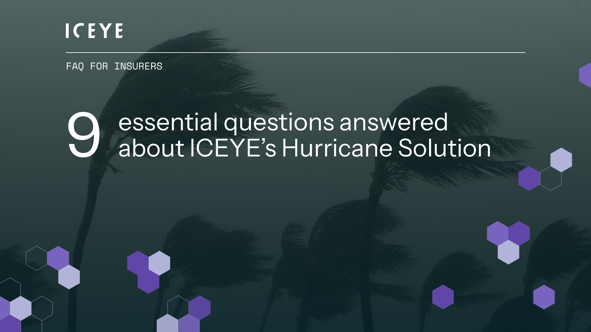
27 May 2025
13 min read
Discover how ICEYE’s Hurricane Solution gives insurers 24-hour wind & flood insights, enabling...
Read more about Hurricane Solution FAQ for insurers →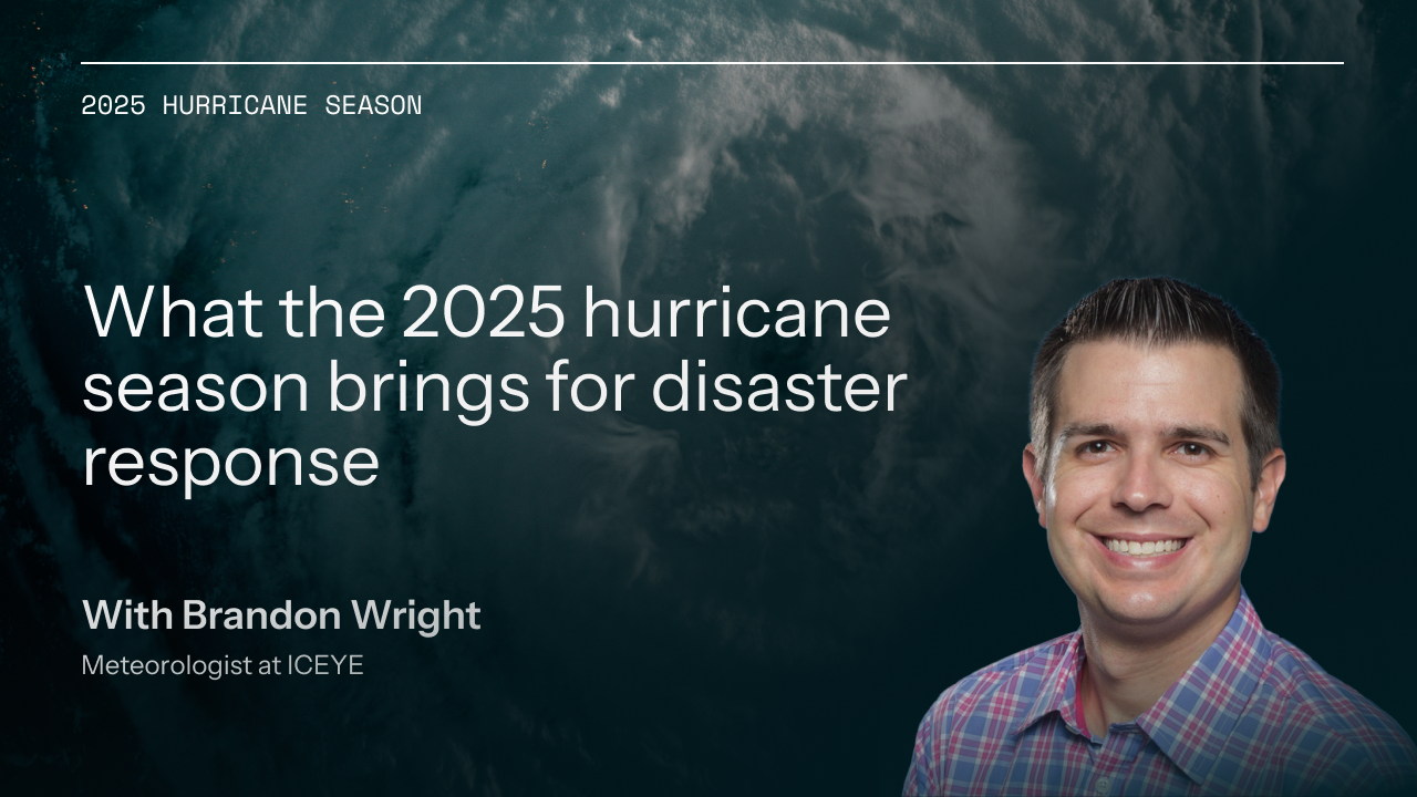
24 April 2025
9 min read
Discover the key climate factors shaping the 2025 hurricane season and why accurate observation is...
Read more about Forecasting complexity: What the 2025 hurricane season brings for disaster response →
13 March 2025
12 min read
Learn how phase information - that magical property of SAR - can be combined with persistent...
Read more about Harness the magical property of SAR →
05 March 2025
12 min read
Discover how ICEYE’s observed wildfire data helped insurers and emergency managers respond to the...
Read more about Beyond 99% Precision: How ICEYE’s observed data improved wildfire response in Los Angeles →