Contact us
Get in touch with our experts to find out the possibilities daily truth data holds for your organization.

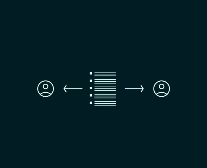
Monitor any location with SAR data and get unprecedented access to accurate images of any location on Earth – every few hours, day and night, in any weather.
ICEYE launched over 70 satellites since 2018 with plenty more planned for 2026 and beyond.
See through clouds, smoke, ash, fog and even total darkness.
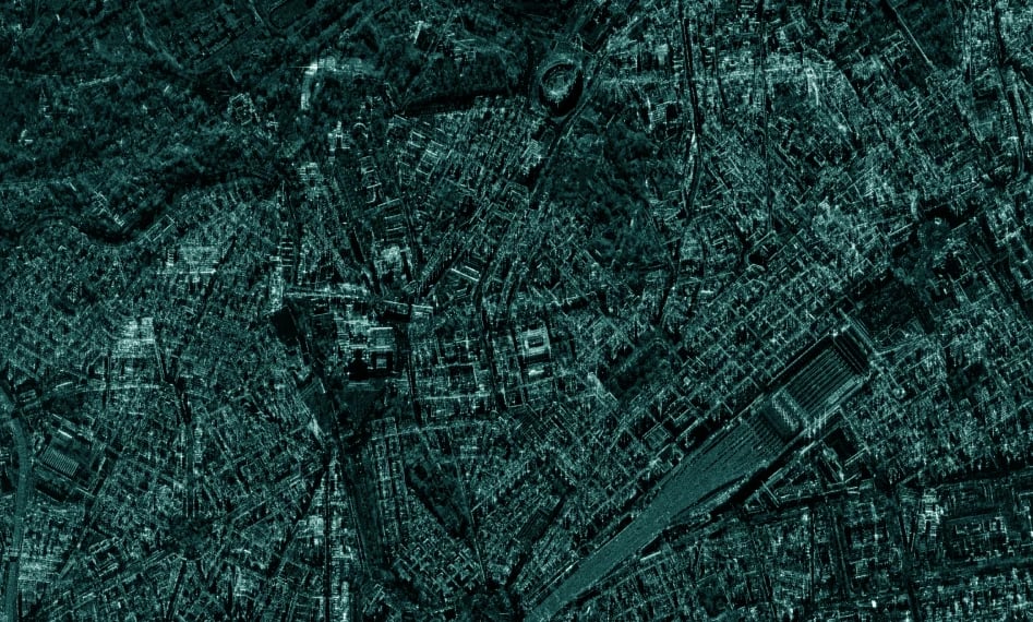
See the detail and understand the context with resolutions up to 25 cm and scenes up to 120,000 km².
Up to sub-daily monitoring and change detection allow for unprecedented change detection.
Receive data in just a few hours from acquisition.
Unlimited access anywhere on the globe.

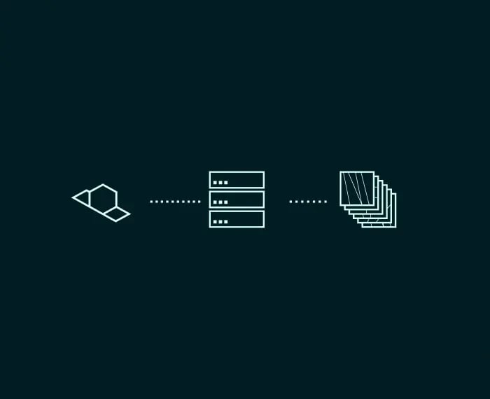
A SAR image is not just a picture. Each pixel carries information about the strength and phase of the reflected radar signal, which reveals surface texture, material properties, structure, and motion.
This means SAR data can show a metal vehicle hidden under tree cover, identify recent activity at an airfield, or detect a vessel that has switched off its transponder. Advanced techniques like Coherent Change Detection compare two images of the same location to reveal changes invisible to the human eye, such as footprints in soil or freshly dug positions.
Know what is happening at your borders and beyond.
Watch strategic sites and detect changes.
Get actionable intelligence on any activities in your waters of interest.
Monitor forests and identify activities.
Sponsored ICEYE SAR data available for research, science, and application development.
The European Union's Earth observation programme, looking at our planet and its environment to benefit all European citizens.
Truly effective change detection requires persistent monitoring. ICEYE unlocks new access to valuable data on any location on Earth - day and night, through the clouds, multiple times per day.
Detect changes with daily and even sub-daily revisits of your location. Our small and agile satellites can be launch-ready within 15–24 months. Now available to own.


Talk series
This talk series discusses SAR basics, products, and applications in an easy way. Created for everyone interested in SAR, with no prior knowledge required.