Contact us
Get in touch with our experts to find out the possibilities daily truth data holds for your organization.

14 May 2026
7 min read
How to use Esri’s ArcGIS Online and ICEYE’s Flood Insights for actionable intelligence.
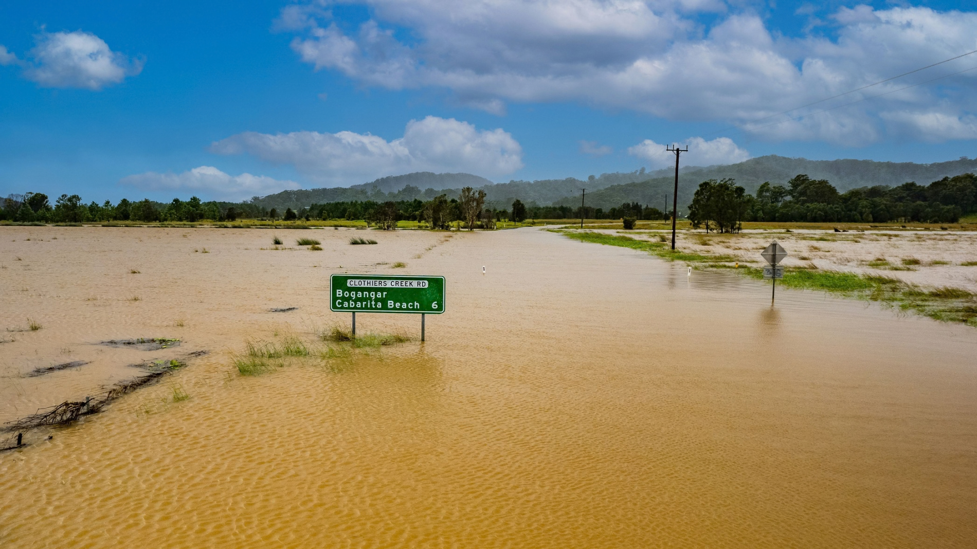
Read more about How to unlock resilience for emergency response in Australia →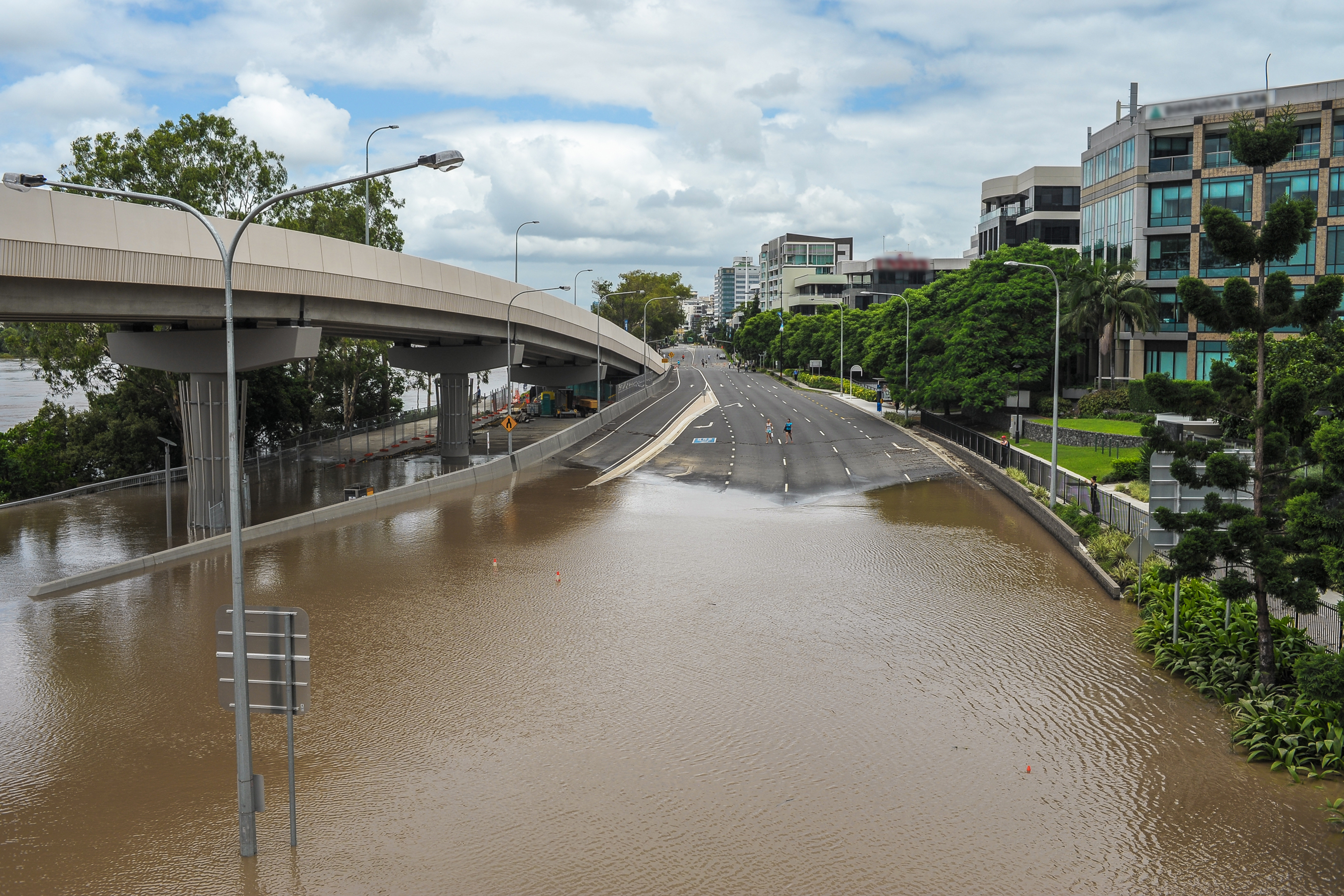
18 March 2026
16 min read
Learn how ICEYE’s technology delivers decision-ready data through smoke, cloud, and darkness for...
Read more about How to close the disaster intelligence gap in Australia →
Sign up for our Insurance Newsletter for regular updates about ICEYE products and exclusive insights on the most pressing natural catastrophes delivered to your inbox.

28 October 2025
11 min read
Discover how satellite flood monitoring helps insurers gain real-time situational awareness and...
Read more about Flood Ready: How insurers can act faster with satellite insights →
15 October 2025
11 min read
ICEYE's Monte Carlo workshop revealed how SAR satellite data transforms hurricane response and...
Read more about From forecast to fact: Multi-peril data for insurers →
11 June 2025
10 min read
How Emergency Managers can ensure data readiness ahead of hurricane seasons.
Read more about 6 Data-driven strategies emergency managers should use for hurricane preparedness →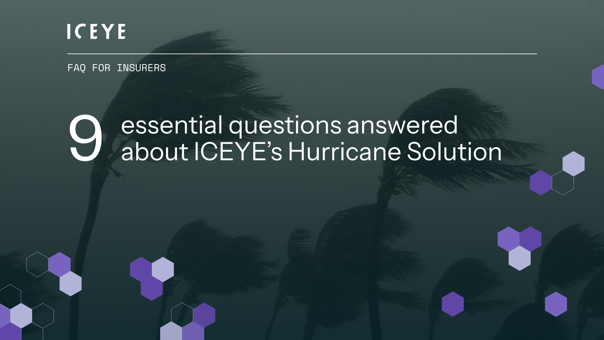
27 May 2025
13 min read
Discover how ICEYE’s Hurricane Solution gives insurers 24-hour wind & flood insights, enabling...
Read more about Hurricane Solution FAQ for insurers →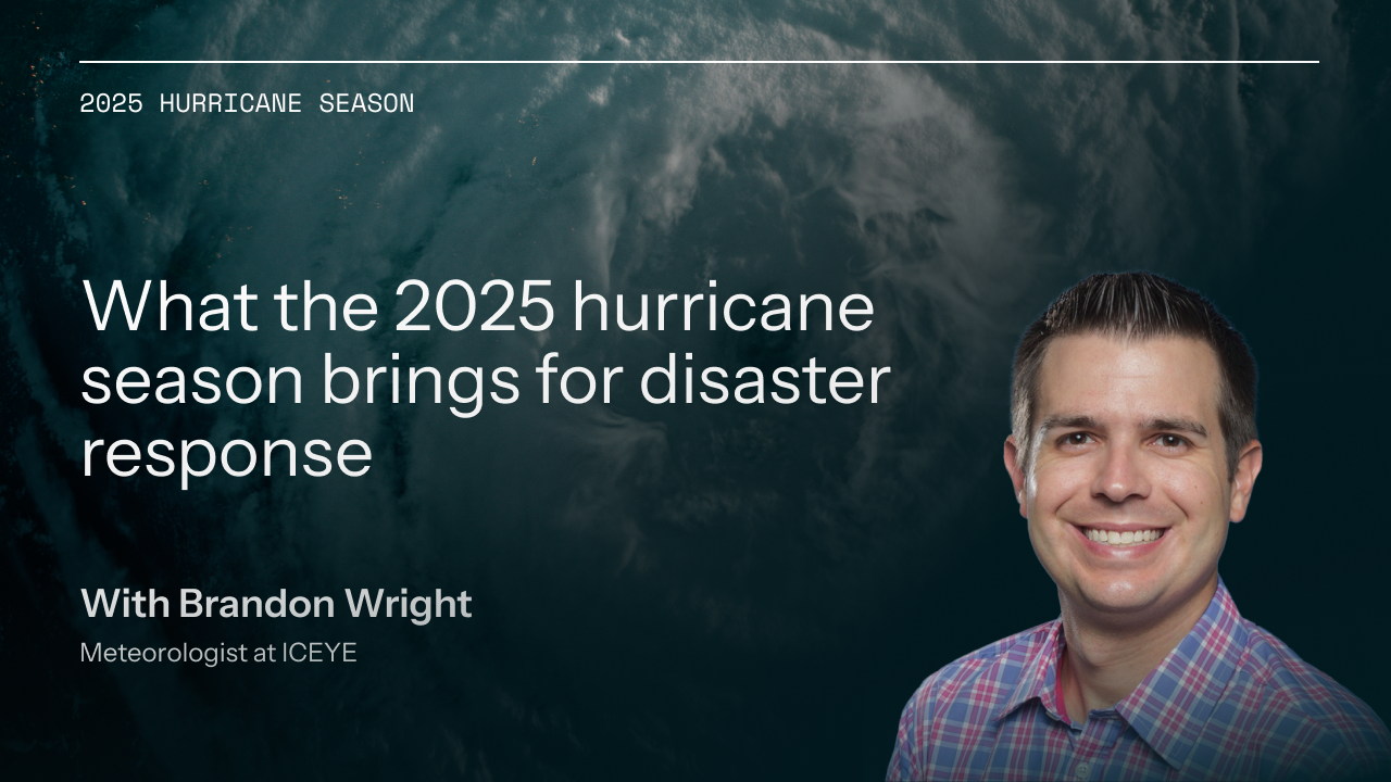
24 April 2025
9 min read
Discover the key climate factors shaping the 2025 hurricane season and why accurate observation is...
Read more about Forecasting complexity: What the 2025 hurricane season brings for disaster response →
05 March 2025
12 min read
Discover how ICEYE’s observed wildfire data helped insurers and emergency managers respond to the...
Read more about Beyond 99% Precision: How ICEYE’s observed data improved wildfire response in Los Angeles →
19 February 2025
9 min read
Learn all the different ways in which insurers can access and visualize ICEYE Flood Insights data...
Read more about Insurers' guide to accessing and visualizing ICEYE Flood Insights →
16 December 2024
8 min read
Read ICEYE's summary of the 2024 Atlantic hurricane season to understand trends, impacts, and...
Read more about Atlantic hurricane season 2024 wrap-up: trends, impacts, and future risks →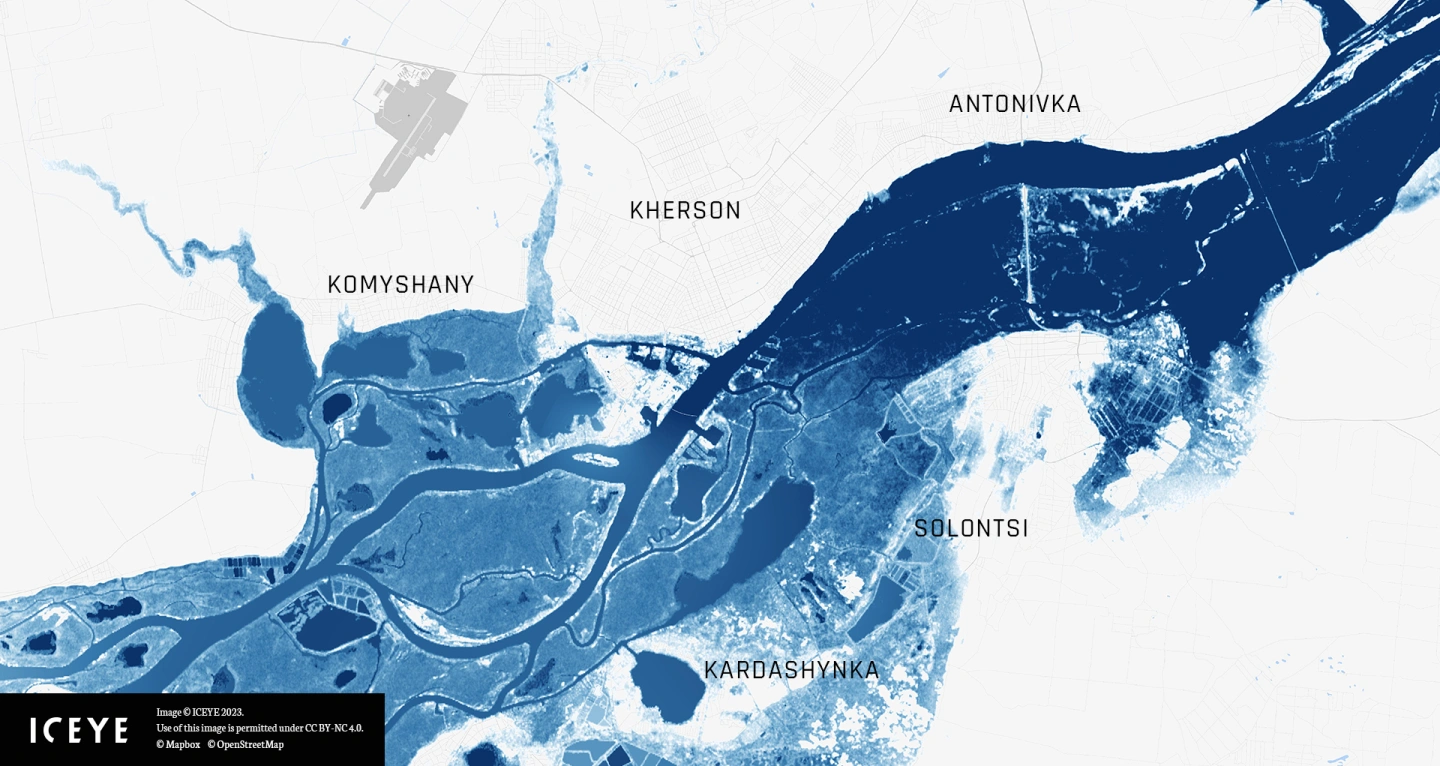
20 November 2024
7 min read
This tutorial guides you step-by-step to explore and visualize flood data for the Kakhova Dam...
Read more about Celebrate GIS Day with ICEYE and Esri’s ArcGIS Living Atlas →