Contact us
Get in touch with our experts to find out the possibilities daily truth data holds for your organization.

15 November 2022
6 min read
Read how ICEYE monitored Hurricane Ian and delivered rapid insights for insurers and emergency...
Read more about Tracking Hurricane Ian: The Benefits of Remote Sensing and SAR →
06 October 2022
5 min read
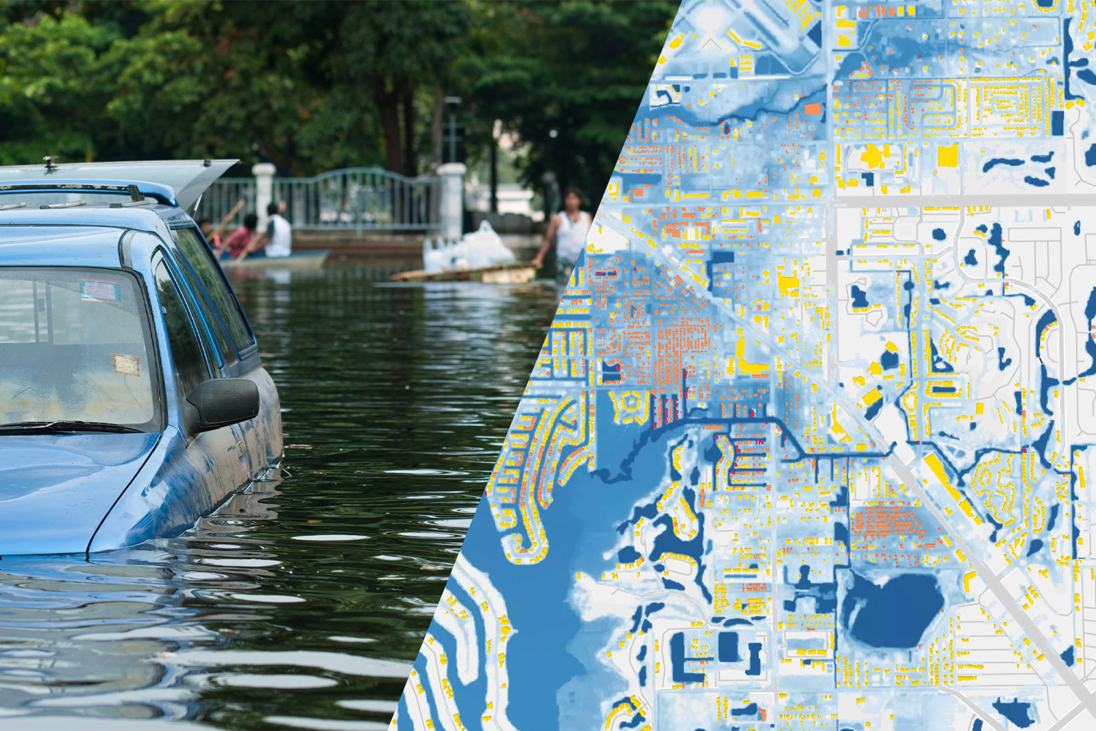
Learn how insurers how catastrophe risk experts at major insurers are dealing with flood risk and...
Read more about Better Flood Risk Management for Insurers →
Sign up for our Insurance Newsletter for regular updates about ICEYE products and exclusive insights on the most pressing natural catastrophes delivered to your inbox.
27 September 2022
4 min read
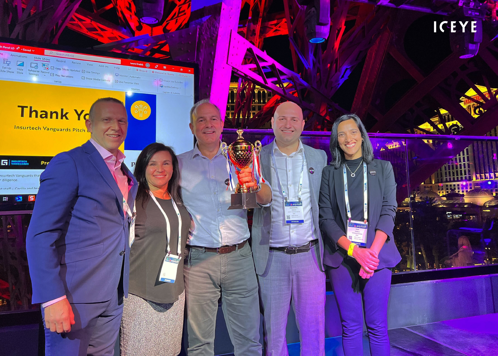
Read how ICEYE won Guidewire's Insurtech Vanguards Pitch competition in September 2022, as...
Read more about Guidewire’s Insurtech Vanguards Competition - What a Win for ICEYE! →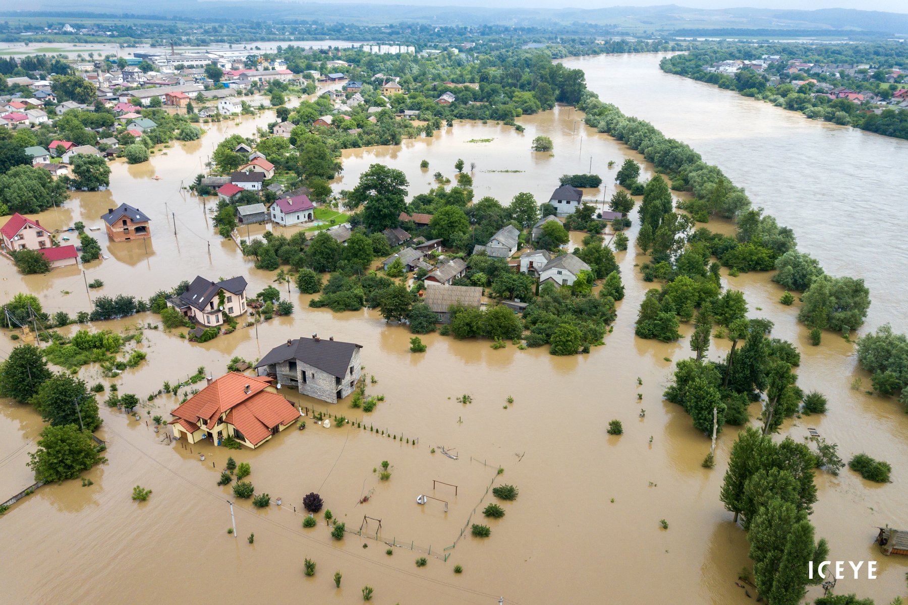
10 August 2022
7 min read
Learn how insurers and emergency management organizations can handle the rising cost of flash...
Read more about Tackling Flash Floods in the Era of Climate Change →
27 July 2022
6 min read
Learn more about the ICEYE x EigenRisk partnership and what it means for the future of flood...
Read more about Hurricane Season 2022: The Power of Near Real-Time Flood Observation Data →
06 July 2022
6 min read
Read about our satellite launch through the eyes of Charles Blanchet, who was present at Cape...
Read more about The Thrill of a Satellite Launch →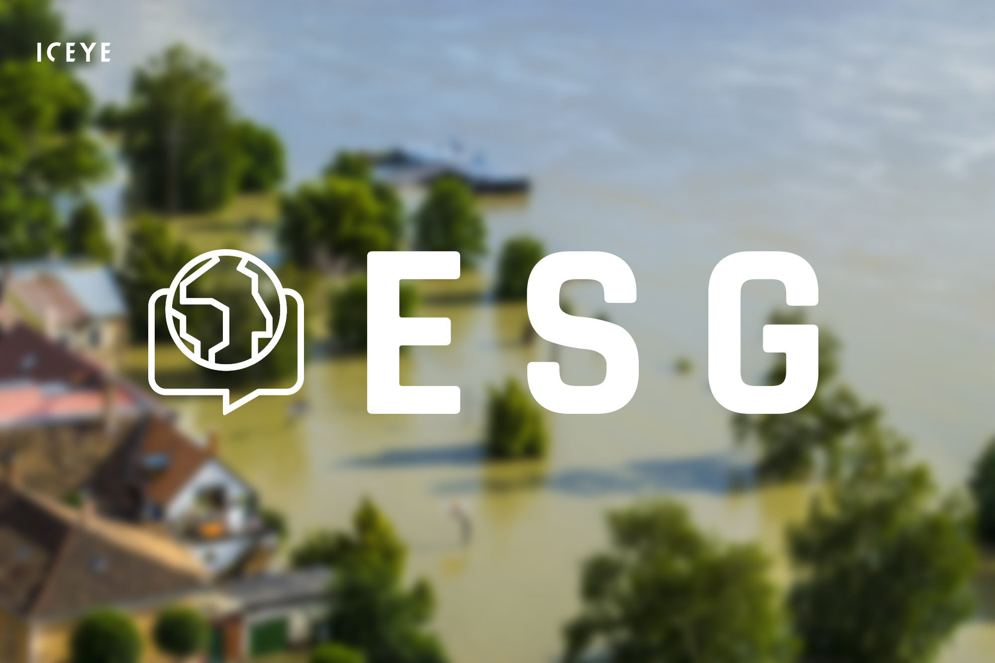
19 May 2022
6 min read
Learn about how you can work towards your ESG goals and improve your disaster resilience with ICEYE...
Read more about Achieving Your ESG Goals with ICEYE NatCat Solutions →
13 May 2022
5 min read
What if you could proactively keep your customers informed in the immediate aftermath of natural...
Read more about Handling Claims for NatCat Events: The Moment of Truth for Insurers →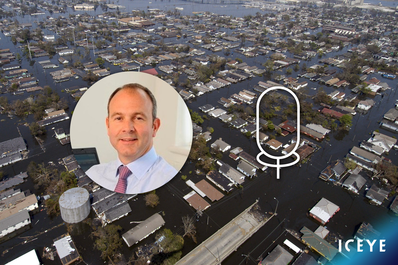
03 May 2022
5 min read
Our Global Head of Insurance, Stephen Lathrope, shares his thoughts on the potential of satellite...
Read more about Being Everywhere, Multiple Times a Day →
28 April 2022
6 min read
Learn more about the partnership between ICEYE and Aon and understand how incumbents can leverage...
Read more about ICEYE x Aon - Sizing Flood Losses with Near Real-Time Hazard Data →
15 February 2022
4 min read
Learn about the partnership between ICEYE and New Light Technologies (NLT) to deliver critical...
Read more about ICEYE Partners with New Light Technologies →