In a lively chat with The Voice of Insurance's Mark Geoghegan recently, I explained why ICEYE is focused on providing insights for the insurance sector and how we're only just scratching the surface in terms of what is possible.
We both really enjoyed our discussion of what can and can't be done with earth observation data, and it was a great opportunity for me to talk about what excites me most about ICEYE's capabilities in insurance with someone who knows the industry so well.
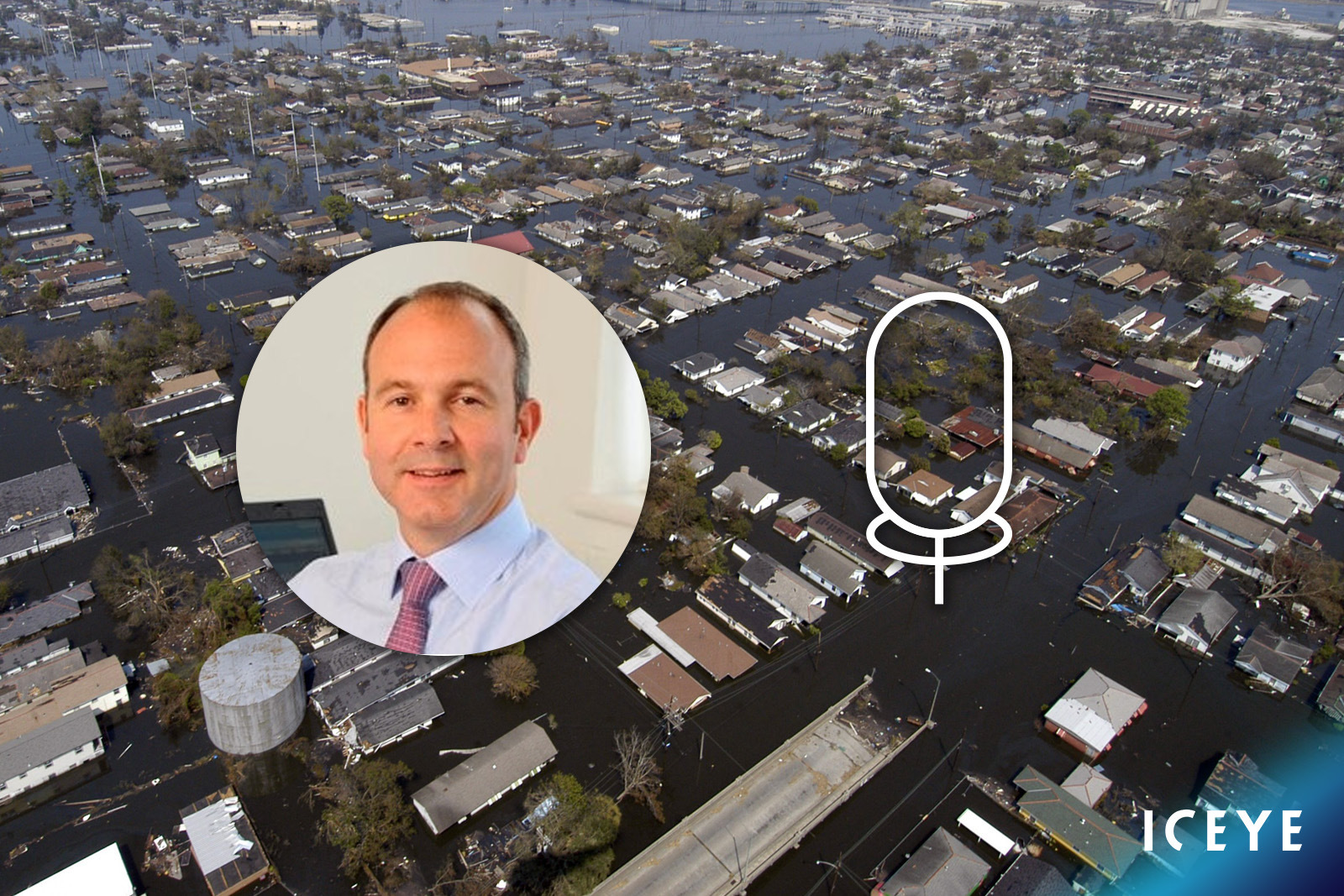
Mark is familiar with all the ins and outs of the insurance business, having spent his early career as a broker in the London market and latterly as the Editorial Director of highly respected trade publication the Insurance Insider, before becoming the industry's favorite podcaster and commentator. It was brilliant to hear his enthusiasm as he noted that it was not often you were able to use the word 'wow' in insurance. We were distracted only by a brief digression into 1970s British sci-fi - Blake's 7 in particular - which put a few years on us both.
Mark said he hadn't realized quite how far satellite technology had come, so we began by covering some of the basics, including how the miniaturisation of radar and satellites has allowed ICEYE to build and launch the world's largest constellation of privately-owned SAR satellites - currently numbering 16, with further launches planned this year. We discussed how radar can see through clouds, smoke and the dark, enabling intra-day observation of change, and opening a wealth of possible use cases, including natural catastrophe monitoring, monitoring of insured assets, and triggers to support parametric insurance solutions.
Persistent monitoring of floods on a global scale
Applications for the technology are almost limitless, and I described to Mark why flood was the perfect peril for ICEYE to start with. Flood water is a hazard that can cover wide geographic areas while also having very severe localised impacts. That combination of the need to scan very wide areas and zoom in on local impact is a perfect fit with our granular yet expansive Earth observation data.
ICEYE has progressed way beyond just providing raw SAR data after an event has occurred. We have an in-house team of meteorologists that continually monitors weather conditions and forecasts around the planet. We have created our own flood event prediction system, and we provide our customers with a daily report of the potential upcoming events and those that we expect to analyse.
As we see a potential flood situation developing, we task our satellite constellation to capture imagery of the areas that we predict are likely to be affected, so that we create a time series of measurements before, during and after the flood.
We provide our customers with an early summary of the event as it develops, while in parallel we integrate and analyse a wide range of other data such as terrain models, river gauge data, aerial imagery and social media photographic images - and we develop a complete view of the extent and depth of flooding over the wide area of the event.
That insight is then combined with property data and used for estimating the potential cost of damage and claims, communicating proactively with customers, triaging claims for resource allocation and provisional payment, triggering parametric insurance claims, refining underwriting models and so on.
More than a satellite company
We’re not just taking imagery of flood events from space, we’re providing complete flood prediction, insight and response enablement capabilities that are radically different from anything that insurance companies have had access to or been able to achieve themselves in the past.
This is key to the ICEYE proposition, as I described to Mark. We are far more than just a satellite company collecting and churning out raw data. Our aim is to make our information as readily consumable as possible. In essence, it is about “speaking the same language” as our insurance industry customers, Geoghegan observed.
We discussed the importance of analytics - including machine learning and AI - in distilling these huge datasets into information that can be digested by industry practitioners for a wide range of purposes, including underwriting, claims processing and the structuring of risk transfer solutions.
While there will probably always be some property damage claims that require the physical presence of a loss adjuster on the ground, insurers will be able to assess an increasing proportion of cases remotely using near real-time observation, enabling more rapid and lower cost claims processing.
A more resilient future?
Mark and I also discussed the unique capability of ICEYE satellites to acquire a coherent sequence of images of the exact same location, several times a day. This capability enables us to continuously monitor individual assets, including - one of our current projects - rooftop solar panels in Japan, and opens up a world of possibilities for insurers and risk engineers.
From space, we can detect minute changes, at a very high level of accuracy. While we are not quite able to predict the future, our ability to “be everywhere, multiple times a day” (as the podcast is titled) makes it possible to spot early warning signs. Observing subtle signs of subsidence from space can mean early intervention, preventing the catastrophic collapse of dams, spotting avalanches before they occur, for instance.
We are only just beginning to realise the potential for this level of observation in enabling risk mitigation, but it is an exciting area offering huge opportunity.
A big thank you to Mark and The Voice of Insurance for hosting me and asking some truly thought-provoking questions. You can access the podcast below for a few of those 'wow' moments.