Contact us
Get in touch with our experts to find out the possibilities daily truth data holds for your organization.

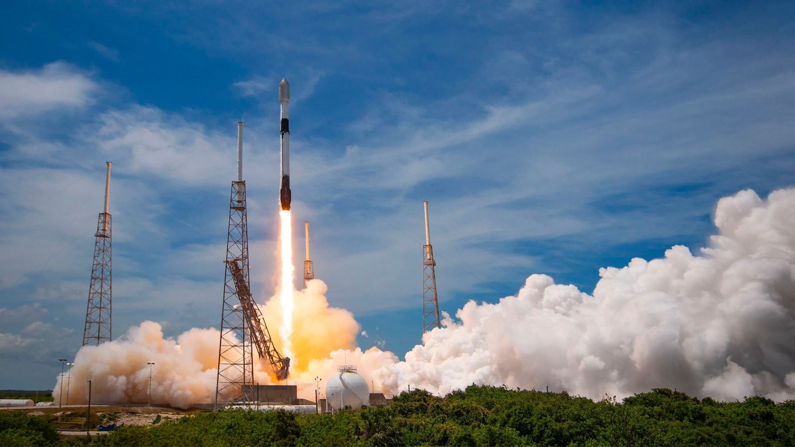
06 July 2022
6 min read
Read about our satellite launch through the eyes of Charles Blanchet, who was present at Cape...
Read more about The Thrill of a Satellite Launch →
22 June 2022
12 min read
SAR data cannot easily be used for machine learning (ML). To simplify it, we've been developing the...
Read more about How to Build an ICEcube for Supervised Machine Learning with Time-series SAR Images →
Sign up for our Insurance Newsletter for regular updates about ICEYE products and exclusive insights on the most pressing natural catastrophes delivered to your inbox.
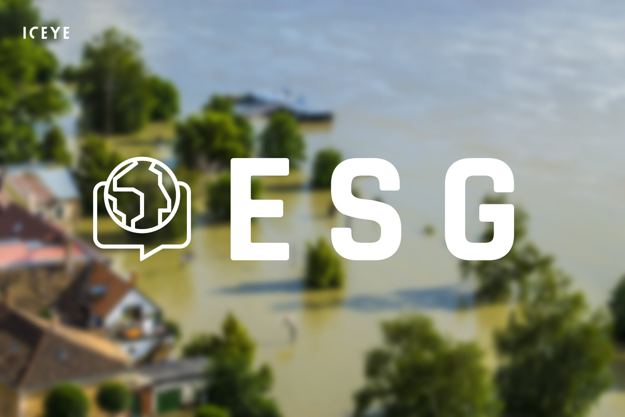
19 May 2022
6 min read
Learn about how you can work towards your ESG goals and improve your disaster resilience with ICEYE...
Read more about Achieving Your ESG Goals with ICEYE NatCat Solutions →17 May 2022
12 min read
ESA and ICEYE collaborated on a novel method for tracking rapid changes in the Earth's surface. It...
Read more about ICEYE X ESA – Pioneering the Tracking of Rapid Changes on Earth →
13 May 2022
5 min read
What if you could proactively keep your customers informed in the immediate aftermath of natural...
Read more about Handling Claims for NatCat Events: The Moment of Truth for Insurers →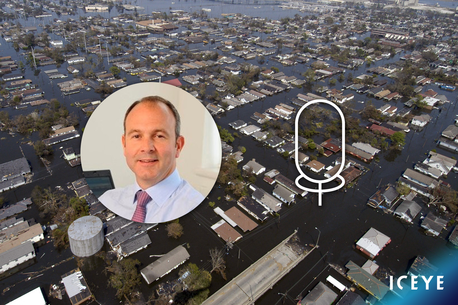
03 May 2022
5 min read
Our Global Head of Insurance, Stephen Lathrope, shares his thoughts on the potential of satellite...
Read more about Being Everywhere, Multiple Times a Day →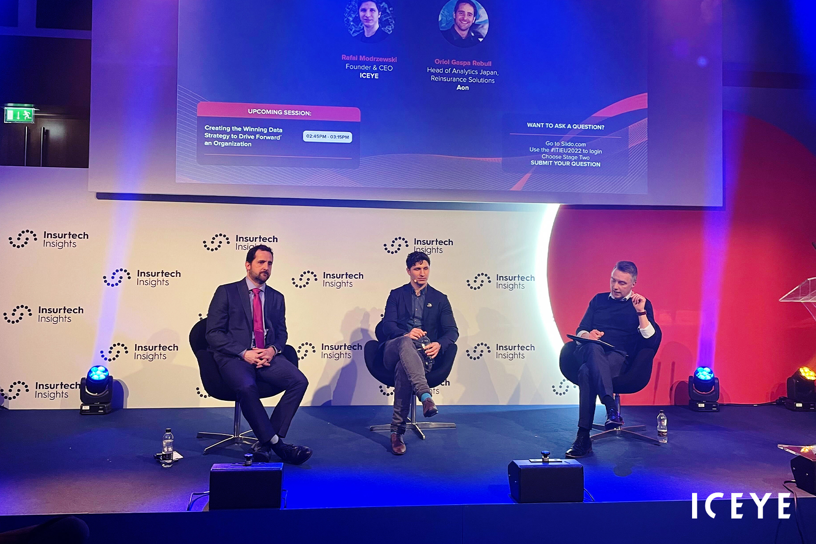
28 April 2022
6 min read
Learn more about the partnership between ICEYE and Aon and understand how incumbents can leverage...
Read more about ICEYE x Aon - Sizing Flood Losses with Near Real-Time Hazard Data →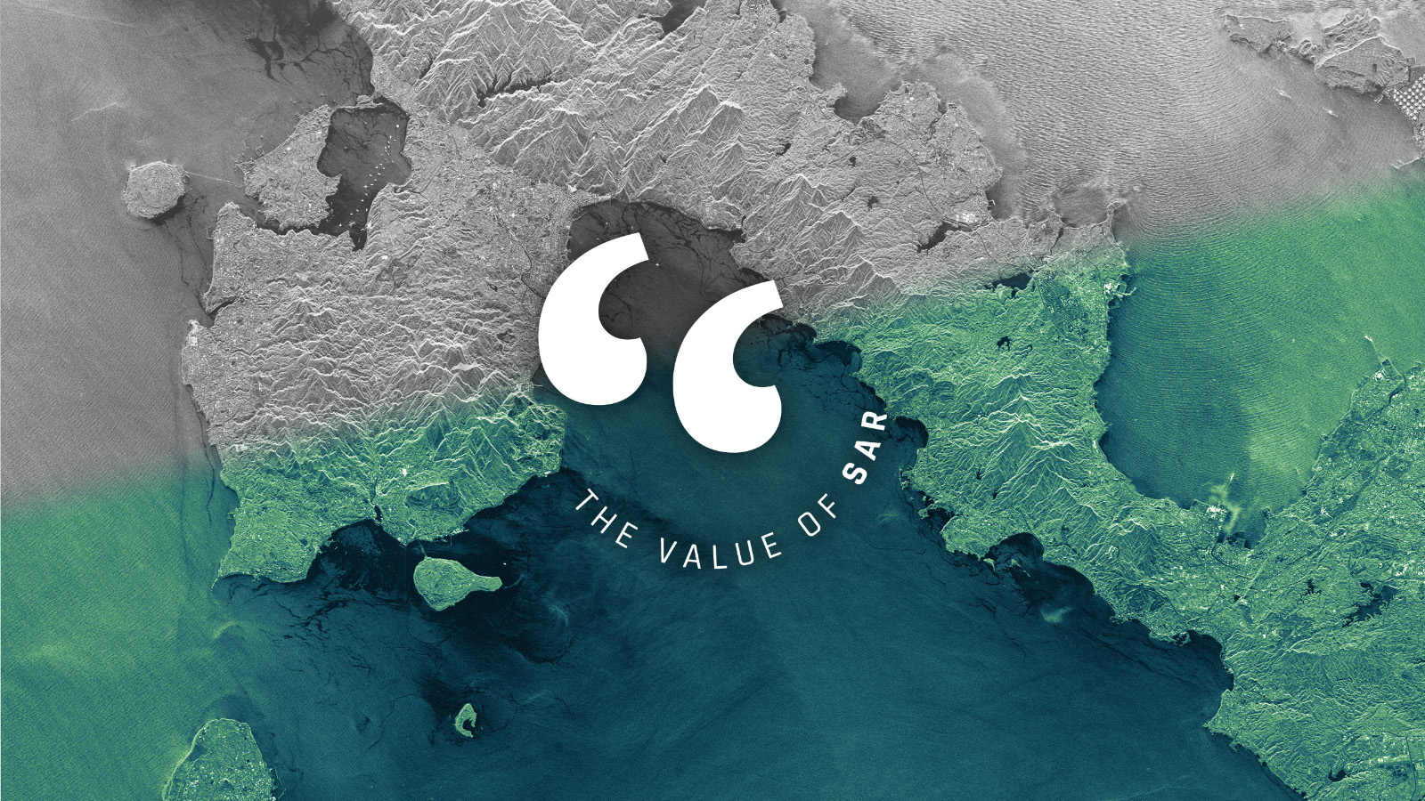
13 April 2022
7 min read
SAR provides information that no other technology can, but it still encounters reservations as the...
Read more about Let’s Talk About the Value of SAR →
29 March 2022
5 min read
How SAR imagery secured the Endurance22 expedition in the Antarctic Weddell Sea that was in danger...
Read more about A Path Through Sea Ice →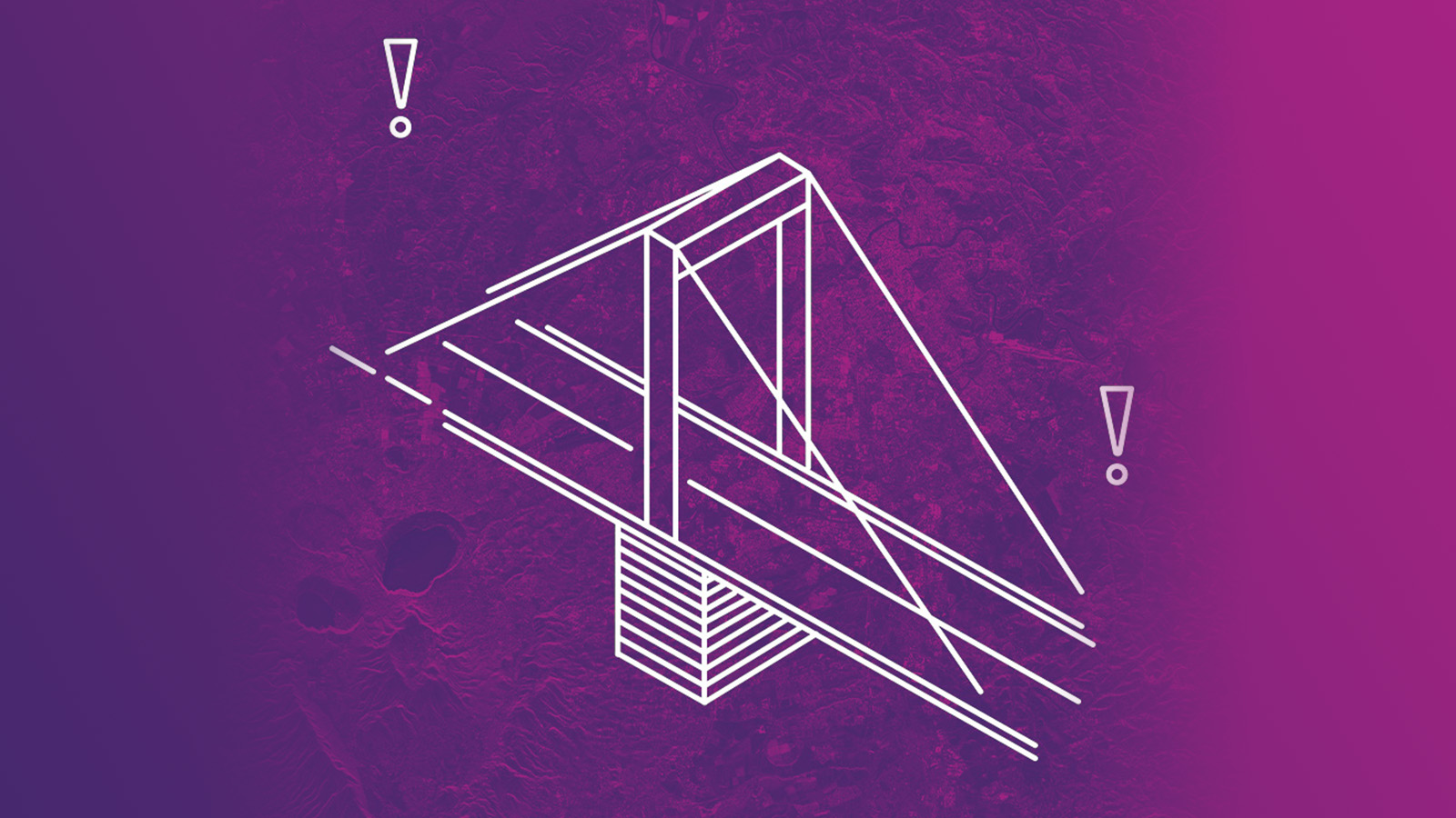
02 March 2022
10 min read
Measuring the Earth in 3D and detecting the subtlest movements of terrain and objects from space is...
Read more about Beyond Change Detection: Measuring the Changes that Matter →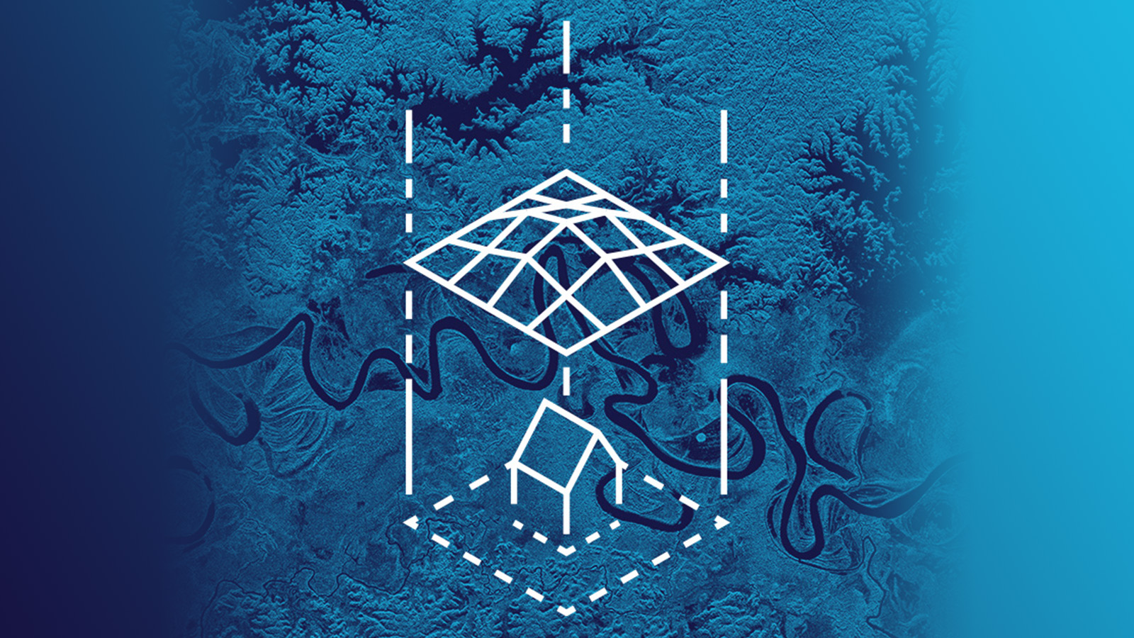
15 February 2022
4 min read
Learn about the partnership between ICEYE and New Light Technologies (NLT) to deliver critical...
Read more about ICEYE Partners with New Light Technologies →