Contact us
Get in touch with our experts to find out the possibilities daily truth data holds for your organization.
Geospatial property intelligence, combined with satellite-based monitoring and change detection intelligence, emerges as a critical tool for insurers, offering unprecedented insights into property risks and enhancing resilience against the effects of climate change.
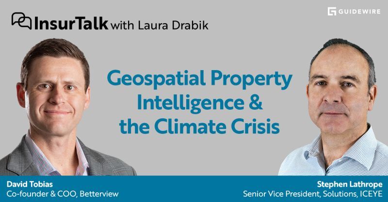
In a recent episode of Guidewire’s Insurtalk podcast, hosted by Laura Drabik, we delved into this topic with Stephen Lathrope, Senior Vice President of Solutions at ICEYE, and David Tobias, COO of Betterview.
In the first three quarters of 2023, the total aggregated insured losses from natural disasters were estimated to exceed $88 billion, 17% higher than the 21st-century annual average, according to Aon's recent market report.
Climate change is not just a threat but a present reality. The frequency and severity of natural catastrophes are not just statistics; they represent a fundamental shift in how the insurance sector must approach risk management. Based on historical data, traditional models struggle to predict future events' frequency and impact, underscoring the need for more advanced, forward-looking solutions.
By leveraging cloud-penetrating satellite imagery and data analytics, insurers can obtain a comprehensive view of risks associated with individual properties. This technology provides critical insights into hazard exposure and property vulnerability, enabling insurers to assess risks accurately.
In the words of David Tobias, nowadays,
"Every insurer is a cat carrier, no matter where they write. And that wasn't the case historically. The old models were great at saying this is a wildfire area or this is a wind area. The challenge was that they were all backward-looking, not forward-looking, and the events are changing more rapidly than those models can keep up with."
As he explains, insurers need forward-looking models that consider new data elements. Besides the hazard, which is the location-related risk, they also need vulnerability metrics that speak about the condition of that property. The new models combine those two things and make it more actionable for the insurer.
"It's clear the climate crisis is not slowing down...historical data, territory-based models, and past loss experience are no longer accurate or useful."
Tobias's observation underscores the urgent need for a paradigm shift in risk assessment.
Until today, there's been a disconnect between P&C insurers' concerns about the insurability of entire territories - like California or Texas - due to climate change and modern technologies that enable them to understand and price risk accurately on a property-specific basis.
Integrating geospatial property intelligence into the insurance workflow revolutionizes how insurers respond to natural disasters. This technology facilitates a move from reactive strategies—focused on repair, replacement, and indemnification —to proactive approaches emphasizing prediction and prevention. David Tobias adds that insurers should allow insureds to protect the risk better so that they can keep their insurance, potentially keep their premiums down, and ultimately prevent a loss.
Adding to the challenge, Laura Drabik mentions that 76 % of global exposures lack coverage against catastrophes. In such an environment, avoiding new policies, rejecting renewals, or pulling out of entire markets isn't a sustainable business strategy. The global insurance industry can play a central and profitable role in protecting society from the worst effects of climate change - if it has the right technologies.
Earth observation technologies have been vital to understanding how the environment has been changing for decades. As far back as the 70s, one obvious symptom of global warming is the change in the structure and extent of glaciers and giant ice shells in the Antarctic. With SAR technology, we can measure weather systems, temperatures, CO2 levels, moisture in the soil, deforestation, and a whole host of different factors.
"I think the real revolution that we're seeing through the new space revolution, is just the volume of data, the high-resolution data, and the timeliness of data that's available," says Stephen Lathrope.
For example, ICEYE's Synthetic Aperture Radar (SAR) technology offers near real-time data on hazards and damage, allowing insurers to assess and respond to events as they unfold.
Stephen also highlights that the collaboration between technology providers like ICEYE, analytics solutions like Betterview, and insurance platforms like Guidewire paves the way for integrating geospatial analytics into everyday insurance operations. This integration enables carriers to offer services that alert customers to potential damages before they occur, significantly enhancing disaster preparedness and response
See how Betterview's platform integrates ICEYE’s Flood Insights, delivering a new level of efficiency and effectiveness for insurers.
The practical applications of geospatial property intelligence are vast. Insurers can now better understand and price risk accurately, tailoring indemnity policies to reflect the actual level of exposure and providing the opportunity for new product structures such as parametric. This capability is crucial in areas prone to natural disasters, where accurate risk assessment can mean the difference between sustainable coverage and financial ruin.
According to Guidewire's 2023 global insurance consumer survey, one in three insurance customers want access to services that warn them of potential damage before it happens.
New, emerging technologies allow for this shift from just repairing and replacing when there is a loss to predicting and preventing. Insurance companies can now tap into cloud-penetrating satellite imagery, aerial imagery, and other sources of observation-driven data.
ICEYE owns and operates the world’s largest Synthetic Aperture Radar (SAR) satellite constellation, orbiting the Earth and capturing images day or night, regardless of weather conditions.
This means that insurers can detect potential hazards and the condition of a given property and give recommendations digitally without sending inspectors out. They can also improve their ability to predict flood impacts, assess wildfire damage, and implement effective disaster response strategies. These advancements not only protect properties and lives but also contribute to communities' overall resilience against climate change.
Adopting geospatial property intelligence is an operational upgrade and a strategic imperative for the insurance industry. As climate change continues to reshape the risk landscape, P&C insurers equipped with advanced analytical tools will lead the way in providing effective and sustainable coverage.
The collaboration between technology partners like ICEYE, Betterview, and Guidewire exemplifies the industry's commitment to innovation. By harnessing the power of geospatial property intelligence, combined with satellite-based monitoring, insurers can navigate the complexities of climate change with greater confidence and precision, ultimately safeguarding society against the unpredictable forces of nature.
If you want to learn more, you can listen to the full podcast episode below.

14 May 2026

18 March 2026

11 December 2025