Contact us
Get in touch with our experts to find out the possibilities daily truth data holds for your organization.
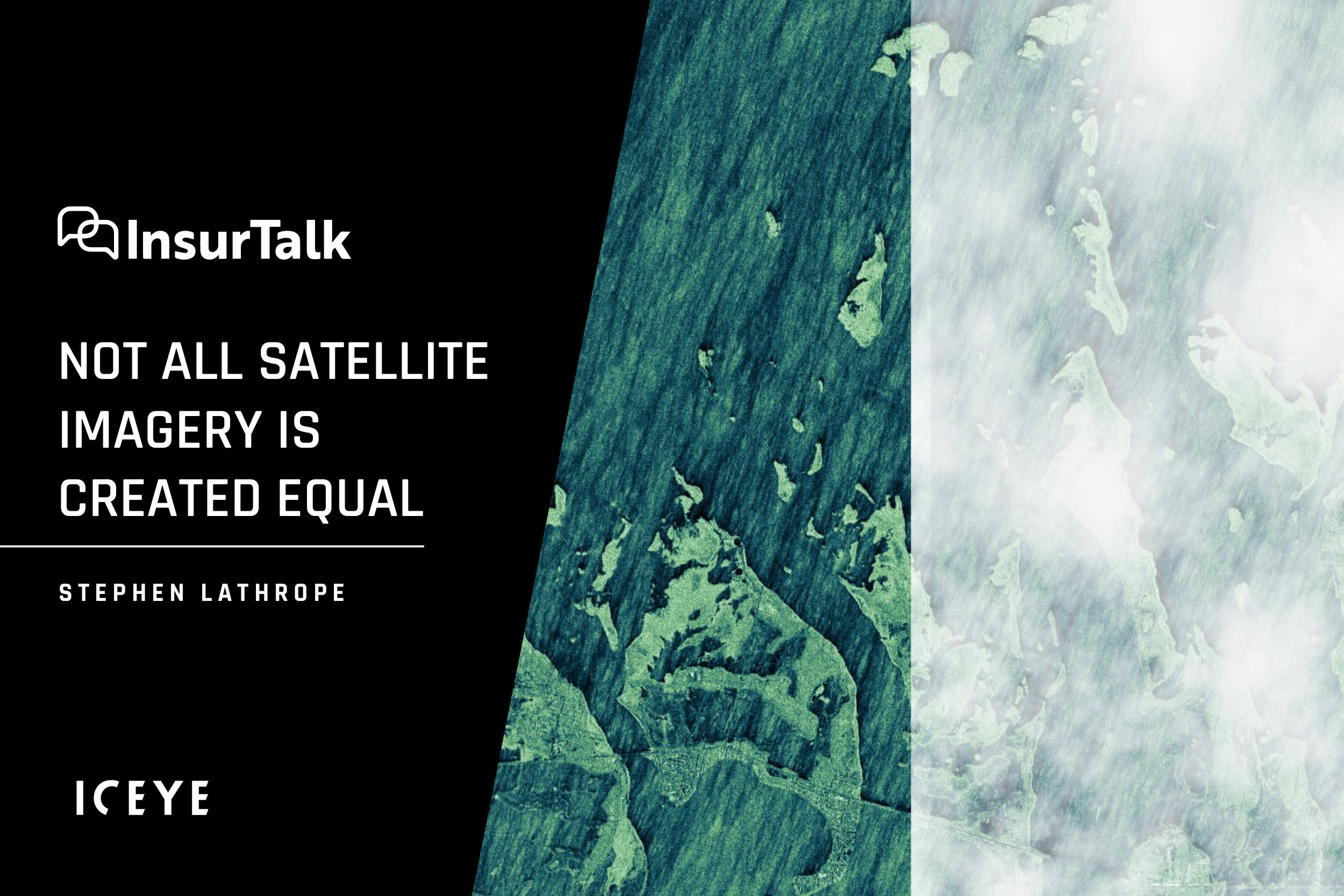
One of the things Laura Drabik, Guidewire's Chief Evangelist and self-confessed 'tech geek' said she had learnt at Guidewire's first annual Pitch Day in Las Vegas (which ICEYE won in September!) was that "not all satellite imagery is created equal."
The ability of synthetic aperture radar (SAR) technology to pick up the tiniest of details on the ground - and to gather detailed and dynamic information through cloud, smoke and at night - opens up many compelling use cases for the P&C insurance industry.
As a start, Laura wanted to know what was different about ICEYE's satellite data compared to more traditional sources of earth observation information.
As stated by Stephen, Synthetic-aperture radar (SAR) technology has been a 'real breakthrough' for earth observation in several ways, including the ability to generate compelling high-resolution images using relatively small sensors.
The fact that we can place the sensors on much smaller satellites is a key factor that enabled ICEYE to build the world's largest SAR constellation in such a short period of time. "That gives us much greater global coverage and the ability to take many more images of floods," he said. "The more images we have, the more data we have, hence the more insight we can provide carriers."
Unlike optical imagery, this type of radar technology is ideally suited to persistently monitor huge areas on earth, capture millimeter-level changes, and assess potentially catastrophic situations in near real-time. From flood levels to the spread of wildfires and deforestation in the Amazon, ICEYE puts granular insights in the hands of insurance companies and public sector organizations in a format they can easily integrate, helping them make data-driven decisions in time-critical situations.
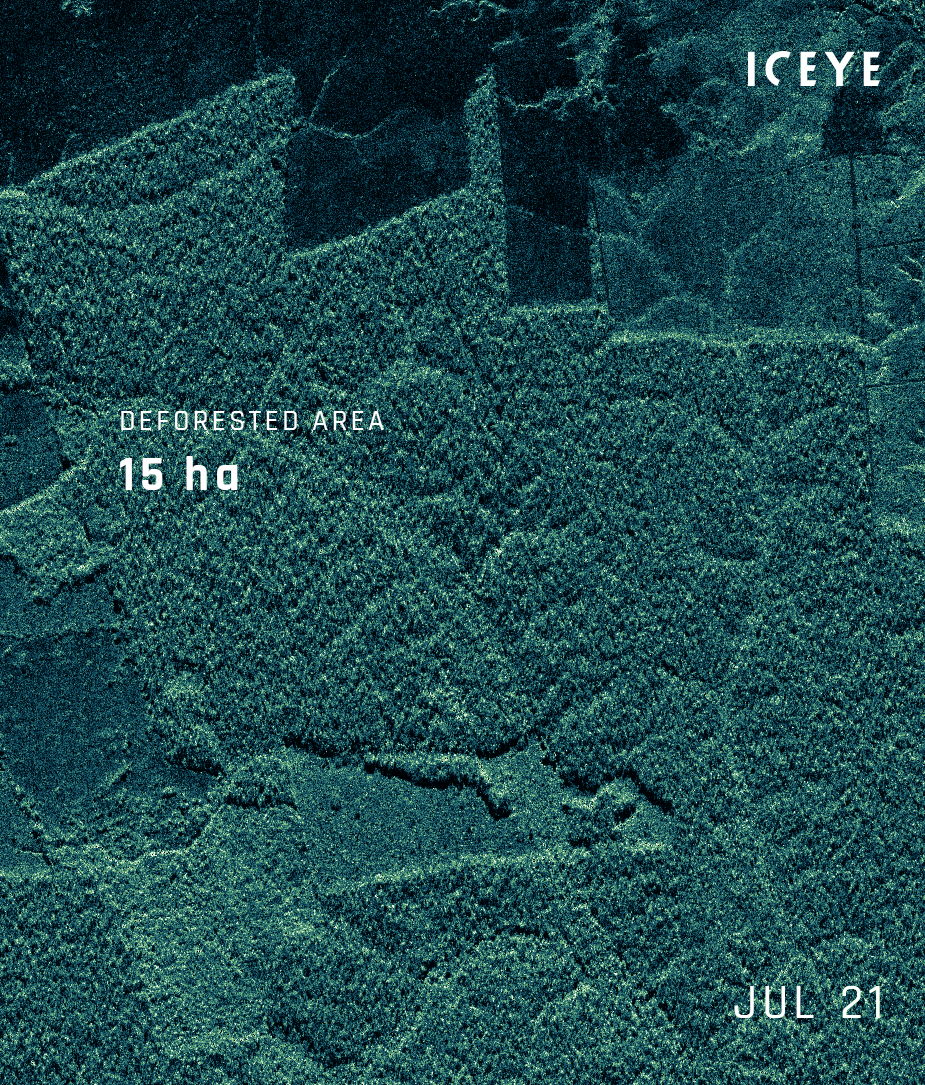
Time series of ICEYE's daily SAR satellite images showing how over 330 hectares of forest area were cleared between July 21 and September 4, 2021.
We are still in the early days of applying ICEYE's SAR earth observation insights, but the potential is enormous, explained Stephen. With over 80% of global flood losses currently uninsured, the company is working with insurers to innovate and close the protection gap for natural disasters, for example, by providing parametric insurance solutions triggered when a pre-agreed flood depth is breached.
More broadly, ICEYE's insights are being used to dramatically improve the claims response when a flood loss occurs. With the ability to show what is happening on the ground, there is also the ability to mitigate the extent of losses and potentially save lives.
In Japan, ICEYE is collaborating with insurance carrier Tokio Marine, which also has a relationship with several non-governmental organisations, added Stephen.
Thanks to this partnership, during recent major floods in Sakamachi, Murakami City, Japan, in August 2022, ICEYE shared its observation data on how the floods unfolded and which areas were most at risk with an organization called 'Save the Children.' This allowed them to rush in and rescue people from a nursery before the situation deteriorated.
It is estimated by SwissRe that insured flood losses had grown from an average of $40 billion between 2000 and 2010 to an average of $80 billion during the last decade.
According to Stephen, multiple factors are driving this steep increase in losses, including climate change. The earth's lower atmosphere is becoming warmer and moister, which increases the severity of storms and floods.
"We're seeing heavier rainfalls, rivers overflow, and flash flooding affecting areas where there isn't generally a water body. With coastal flooding, we've got severe storms combined with high tides to inundate the coast. Alongside all of these climate-related challenges, we've got factors that relate to the world we live in - where we build and house people."
As these factors add up to increase society's vulnerability to floods, ICEYE's observation data for floods will become an essential tool in improving resilience and disaster response.
As Stephen explained: "We can detect where flood water is rising and falling, and we've been doing that for a couple of years. So we can provide insurers with a high-definition analysis of where the waters have been with significant floods that they can use for understanding risk and assessing impact and damage that is likely with upcoming events. We can also provide that in near real-time when an event happens, which really makes a difference for them in terms of their response to major flooding, while it's still going on."
Download the latest release of our Hurricane Ian Flood Briefing
With our in-house team of meteorologists and forecasters, ICEYE is continually watching the atmospheric conditions likely to give rise to flood events.
"We're able to give a view typically of what is likely to happen two or three days in advance of the event," explained Stephen. "We provide that information to our customers so they can inform their customers and allow them to take action, such as, 'move your car', or 'move things off the ground floor'. Then, when the waters do rise, the insights that we can provide (four hours into the event, a full analysis within 24 hours, and then throughout the event) really help carriers to target their response, communicate with their customers and allocate resources effectively, to understand where provisional payments might help."
This ability to get information on how a flood is unfolding into the right hands - be it government agencies, insurers or NGOs - dramatically improves how societies respond to and recover from natural catastrophes.
Overall, SAR technology can help improve disaster risk management and foster more resilience in a world that is becoming more uncertain and exposed to weather extremes. More than anything, it is about being prepared and responding proactively when the worst happens.
You can listen to the full podcast episode here if you are interested.

14 May 2026

18 March 2026

28 October 2025