Contact us
Get in touch with our experts to find out the possibilities daily truth data holds for your organization.
Persistent monitoring
You can only respond to what you can see. Keep your eye on what is happening in your areas of interest with consistent SAR imaging.
See and react to changes on Earth in near real-time
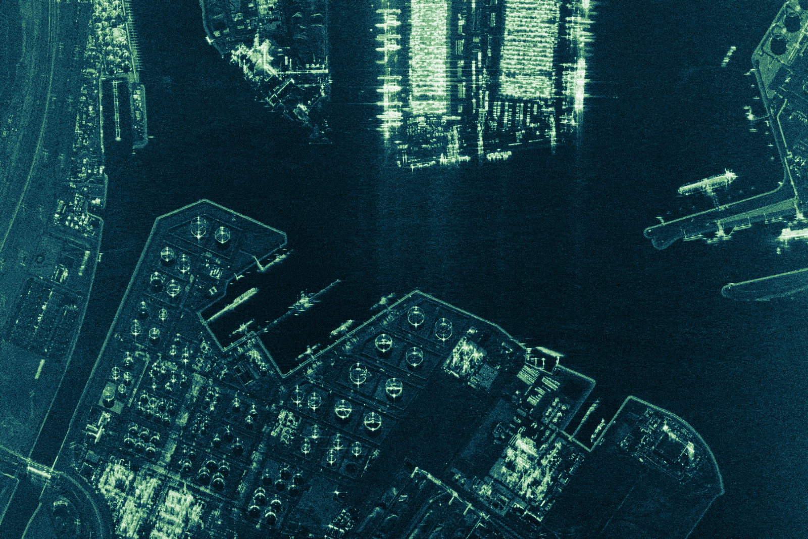
These daily coherent radar satellite images were taken between March 16–28, 2021 with ICEYE’s radar imaging satellites and show the largest seaport in Europe – the Port of Rotterdam, Netherlands. They show the locations of vessels, the movement of oil tank floating roofs, the changes in stockpiles and container rows, the movement of cranes, and other site activities.
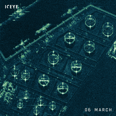
This series of radar satellite images shows oil tanks in the Port of Rotterdam, Netherlands. These daily images were taken with ICEYE’s radar imaging satellites between March 16-28, 2021. The time-lapsed images show the movements of the tanks’ external floating roofs, indicating the increase or decrease in oil volume inside each tank.
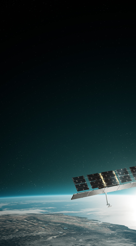
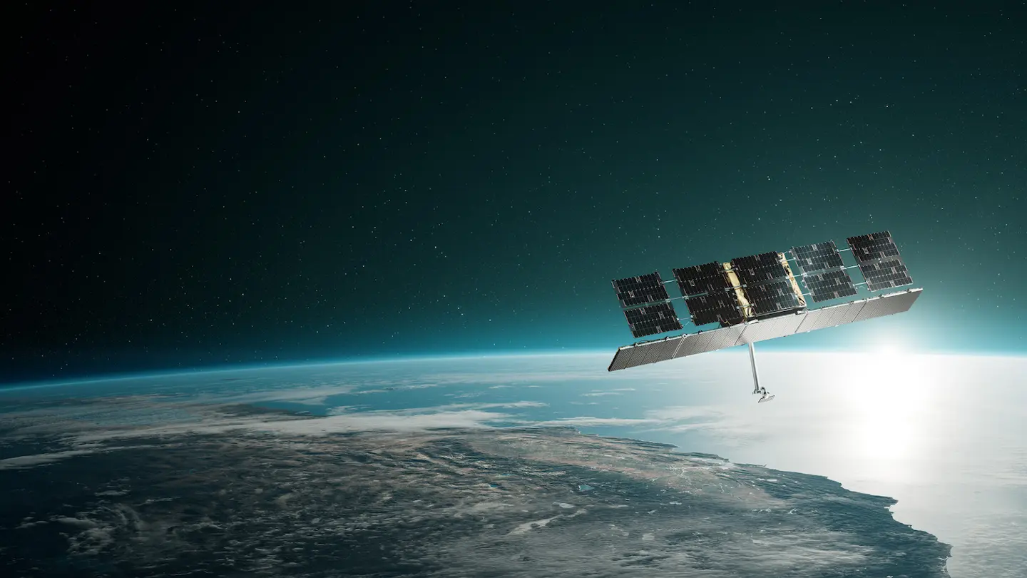
ICEYE has a large constellation of New Space satellites that enable frequent and constant global coverage for persistent monitoring.
Fast data acquisition can only be achieved by agile satellites that can be tasked quickly to capture images of areas of interest in different look directions, switching between different image modes.
Access crucial information and make better decisions with frequent, continuous monitoring of up to 10,000 square kilometers in a single image.
See the small details and the big picture with daily and sub-daily monitoring of your area of interest.
ICEYE’s satellite image modes offer different resolutions based on the size of the area captured in an acquisition, with a very high resolution of up to 25 cm.
Get the data you need, when you need it. With almost continuous global ground segment coverage, ICEYE’s satellites are typically just minutes from the nearest ground station, which means extremely fast delivery lead times.
Darren Muff
A key requirement that’s been missing from Earth observation is being able to track changes very quickly and very often. Synthetic aperture radar (SAR) allows you to see in any weather, day or night. But if you want to be able to track changes to any location on the globe in minutes, hours, or a few days, you need a constellation of satellites that are small and affordable enough to enable persistent monitoring that can be quickly activated, flexibly maneuvered and that can deliver the right information at the right time. That’s exactly what ICEYE does.

Shay Strong & Eric Jensen
At ICEYE, we believe there is a unique opportunity to unlock the potential of SAR data by making it more accessible. ICEYE’s ability to persistently monitor the ground and provide quantifiable information with our radar technology means that it’s now open and available for governments, companies, organizations, and people to evaluate and leverage to better serve humanity.

Rafal Modrzewski & Pekka Laurila
Welcome to a completely new way to understand life on Earth. ICEYE's constellation of SAR satellites opens access to entirely new levels of data for the persistent monitoring of large and small locations around the globe – every few hours, day and night, and in any weather.
