Contact us
Get in touch with our experts to find out the possibilities daily truth data holds for your organization.
The increasing frequency and severity of weather events are putting pressure on the insurance sector to respond. However, growing capacity constraints and restrictive cover coupled with heightened claims complexity and slower payments are leading a growing number of corporates to explore a blended coverage approach that includes parametric insurance.
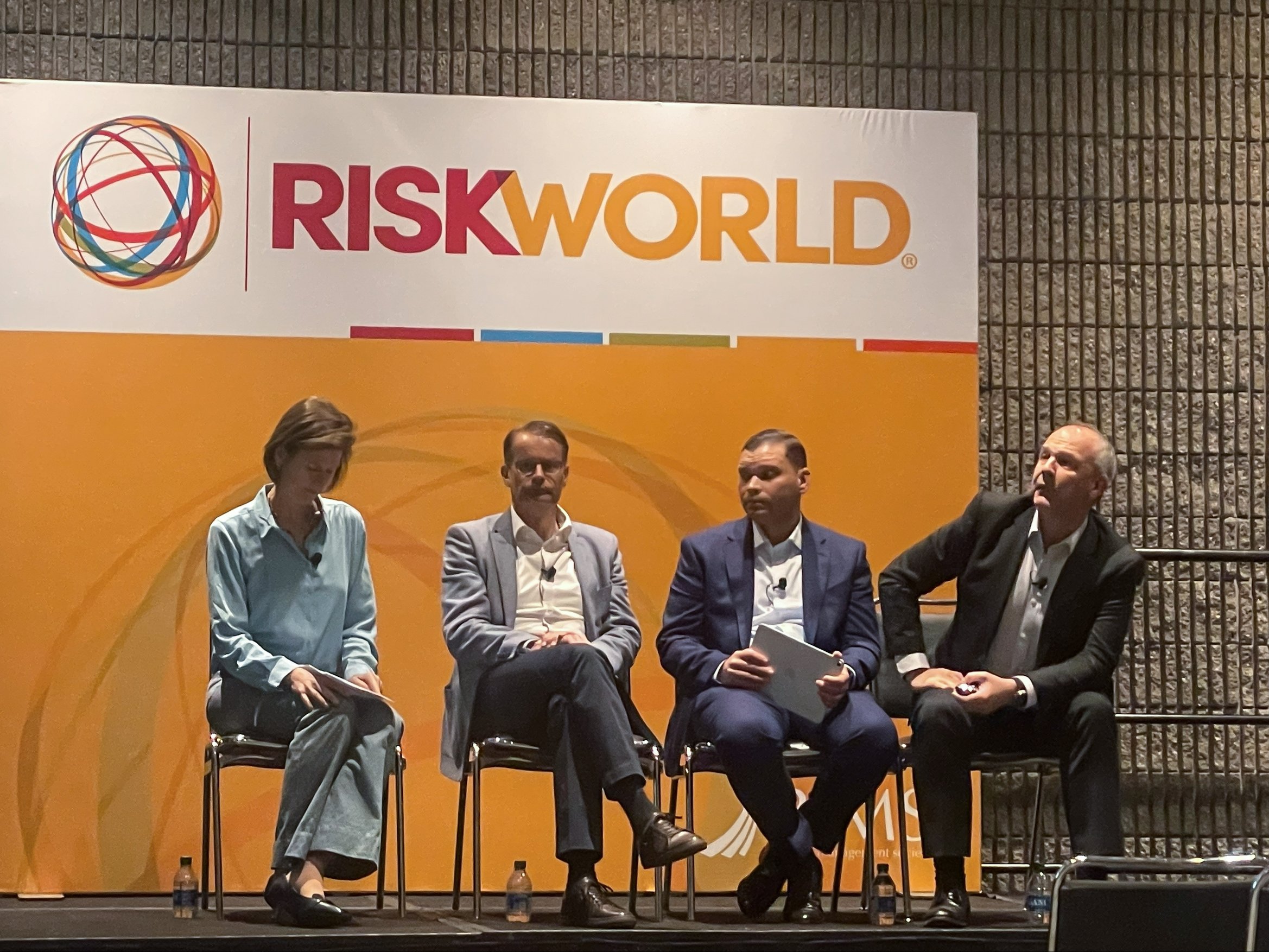
This was the focus of a busy panel session at this year’s RIMS event. Stephen Lathrope, Head of Insurance Solutions at ICEYE, joined Daniel Vetter from Descartes Insurance Solutions, Tina Kirby from Munich Re Markets and Brando Soto from Vertex Pharmaceuticals for an engaging discussion chaired by WTW’s Derrick Easton on the merits of parametric insurance entitled ‘Voices of the Parametric Market’.
The consensus of participants was that growing concerns regarding the overall attractiveness and relevance of the traditional insurance product was sparking a growing interest in this blended approach that combined standard and parametric cover.
As one panel member stated, introducing the parametric component added greater certainty of liquidity and speed of payment, while avoiding the complex back and forth discussions that often occur when a claim is made following a loss.
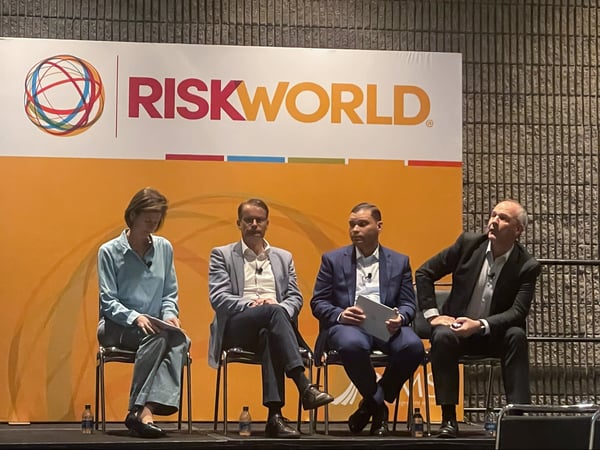
Tina Kirby, Daniel Vetter, Brando Soto and Stephen Lathrope during RIMS 2023 panel session.
Delivering certainty of payment paired with a clearly defined trigger mapped to the unique “pain point” of the individual organisation is a strong sell for any company. However, creating that trigger threshold at which payment will be made and accurately showing when it has been breached depends on the amount of accurate, high-resolution data available – a major limiting factor of the product.
A key focus of the discussion, however, was how advances in satellite technology are helping shift the data dial for parametric solutions – particularly on the flood front.
As Stephen explained, “Advances in observation technology, including high-resolution radar imagery are enabling organisations to measure events on the ground in ways that have not been possible before. What this means for parametric insurance is that we can close the data gap.”
Using the example of Hurricane Ian, he showed how ICEYE’s ability to capture synthetic aperture radar (SAR) imagery and apply auxiliary ground-level data sets as the flood developed, meant that within 24 hours of a flood peak in any given area, the team was able to report flood depth measurements at the individual building level. In total, ICEYE mapped flood extent across an area of 6,500 km2 providing ground-level flood data for almost 300,000 affected properties.
Flood extent in Winona, US, during Upper Mississippi River Basin flooding in April 2023.
Using the example of Tokio Marine, he explained how the company had been able to use its data to provide almost instant payments to several policyholders impacted by a major flood event by tallying photos taken by the affected homeowners with ICEYE flood measurement data at the location. Similarly, by combining latitude/longitude data for vehicles with imagery provided by policyholders and mapping that to ICEYE data they could do the same for a number of motor losses.
As one panel member pointed out, measuring the parametric trigger accurately is a key challenge, adding that access to ICEYE’s high-resolution imagery now gives them greater confidence in the product as a buyer of parametric cover. Another added how the increasing data availability is introducing much greater certainty in the parametric product.
While ICEYE has already established its flood monitoring credentials, having analysed over 100 global flood events in recent years via its Flood Insights product, it has recently expanded its peril focus to include North America wildfires.
As Stephen explained the team has already been actively monitoring wildfire activity. “Our SAR technology enables us to see through smoke and watch the burn scar developing on the ground as the fire progresses, that enables us to view the building structures and determine which locations have been destroyed or remain intact long before it is possible to get 'boots on the ground' or fly over with aircraft or drones.”
A question from the audience turned the focus of the discussion to the potential afforded by parametric solutions in the context of community resilience.
Stephen highlighted the recent launch of a parametric pilot program to protect low- and moderate-income communities in New York City from flooding in which ICEYE worked with a number of organisations, including Swiss Re, Guy Carpenter and the New York City Mayor’s Office of Climate & Environmental Justice. “When flooding in these vulnerable communities reaches a certain threshold,” he explained, “funds are quickly made available to those affected. This is a great example of how technology is being used to close the protection gap.”
While the panel agreed that parametric insurance will not replace standard insurance cover, the potential it offered was significant as part of a hybrid approach combining the best of both solutions.
If insurance companies rely solely on claims notifications to determine which customers have been impacted by a flood surge event and how badly, they can end up with an incomplete and potentially misleading picture of what’s happening. It will lead to a “first come, first served” approach to sending out help, which means insurers are not prioritising the most severely impacted customers and their claims.
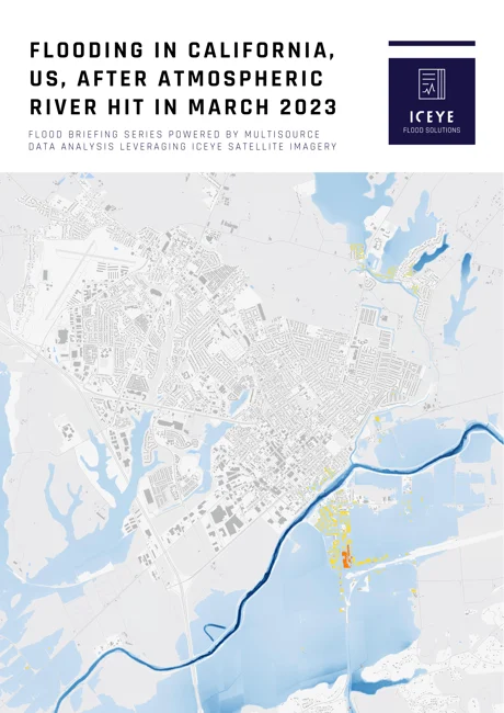
Flood briefing [PDF]

14 May 2026

18 March 2026

28 October 2025