Contact us
Get in touch with our experts to find out the possibilities daily truth data holds for your organization.
Persistent Monitoring
Natural catastrophe solutions

Imaging modes
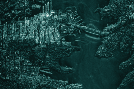
Get unprecedented visibility and flexibility with Dwell, Spot, Strip, and Scan imaging modes. Monitor areas up to 120,000 km² and zoom in to areas of interest at very high resolution down to 25 cm – day, night, and in any weather.
SAR satellites are designed for change detection, and our unique Dwell, Spot, Strip, and Scan modes give you the flexibility to monitor large areas and zoom into areas of interest at very high resolution as needed.
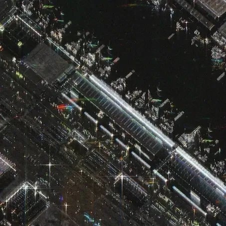
Dwell modes help extract unmatched critical information from a single image. See every detail in incredible clarity with enhanced image quality and reduced noise. Dwell Precise, the industry's highest fidelity 25 cm imaging product, is the latest addition to the Dwell family.
Ground resolutions: 25 cm, 50 cm, and 1 m
Scene size: 5 km x 5 km
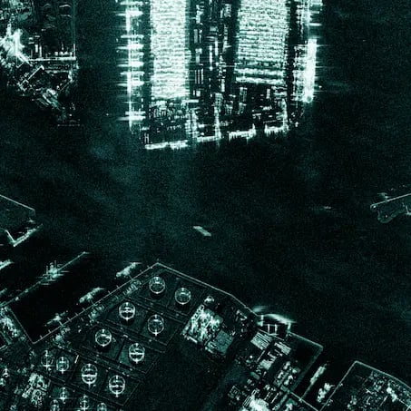
Spot enables very high resolution (up to 50 cm) and the largest available scene size for detailed monitoring. Use Spot modes for object identification and highly detailed change detection.
Ground resolution: up to 50 cm
Scene size: up to 15 km x 15 km
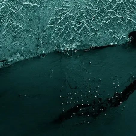
Strip is perfect for detecting changes to vast sea and land areas. Use Strip mode to see and respond to natural disasters and illegal activities, and to persistently monitor borders, coastal areas, or any location of interest.
Ground resolution: 3 m
Scene size: 30 km x 50 km
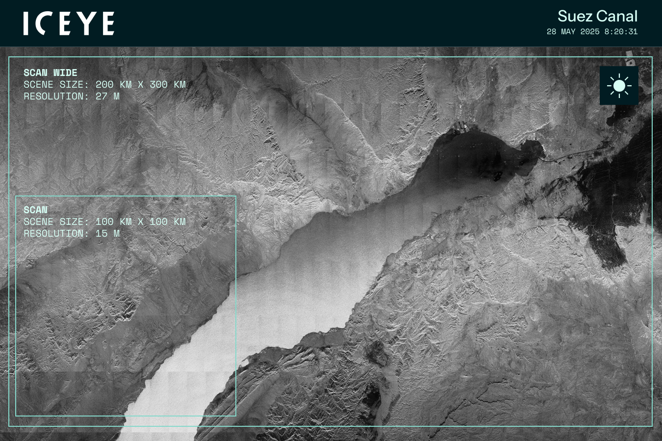
Scan modes cover vast areas and are effective for acquiring wide coverage imagery. Use Scan modes for maritime applications such as oil spill monitoring and dark vessel search. There are two modes available, Scan and Scan Wide.
Ground resolutions: 15 m, 27 m
Scene sizes: 100 km x 100 km up to 200 km x 600 km
The antenna on ICEYE’s SAR satellites is designed to enable a completely new level of flexibility and timely access to reliable change detection data. It’s an electronically steered phased array that can be controlled with software to make the beam point in a range of directions as needed.
Learn more about ICEYE SAR satellite data for persistent monitoring, and specific imaging modes.

Page
The product documentation describes ICEYE SAR product specifications, image ordering process, and related support information.
Deep dive into how ICEYE imaging modes are enabling unprecedented levels of change detection for intelligence, defense, scientific, and commercial customers.
January 23, 2026
6 min read
Federation: The next step in space-based ISR
Read the post Federation: The next step in space-based ISR →Get in touch with our team to find out what SAR data and different imaging modes can do for your organization.