Contact us
Get in touch with our experts to find out the possibilities daily truth data holds for your organization.
.jpg?width=64&name=Matti%20(1).jpg)
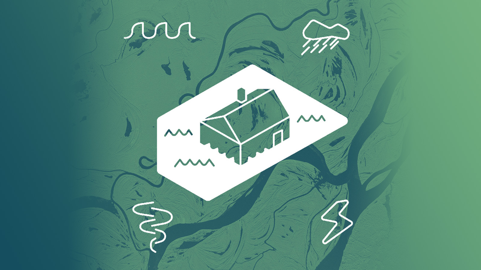
Our changing world creates a growing demand for sophisticated disaster insurance solutions. Climate change increases the number and the impact of weather related disasters around the world. According to UNDRR (UN Office for Disaster Risk Reduction), between 1997 and 2017, approximately 90 percent of major recorded disaster events were weather-related. Storms and heavy rainfalls cause floods with significant losses for life, infrastructure, agriculture and other insured elements – affecting both people and businesses.
In many areas, floods represent the most expensive natural disasters. Globally the annual losses vary from tens of billions to over 100 billion dollars. A single catastrophe can amount to billions of dollars in economic losses. For insurance and reinsurance companies the annual fluctuation of flood losses amount to risks that must be balanced with extremely high competitiveness in flood insurance products.
The consequences of floods vary depending on the extent of flooding and the type of the environments they affect. Significant areas of interest for the insurance sector are infrastructure and agriculture. Both areas face losses of property, goods and income. Flood insurance is needed to secure fast rebuilding of lost properties. This in turn helps people to restore control of their daily lives and businesses.
How can insurance companies respond to natural catastrophes?
The answer is parametric insurance (index insurance), a still developing approach, compared with the traditional models of insurance coverage.
It is based on a set of predefined parameters, which can be simplified to "was there flooding in this area based on objective data", and fast claim payments without a costly claim process, if these preset parameters are met. In the context of floods, parameters can be related to overall weather conditions, flood extent, and flood depth related indexes, each over defined areas of coverage.
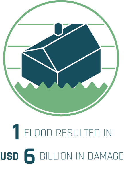
In 2017, heavy rains caused the Yangtze River in China to flood, affecting more than 400 000 homes. The economic losses were estimated to be USD 6 billion, making it the costliest loss disaster event in 2017 in Asia. In these locations, the level of coverage was small. (SwissRe)
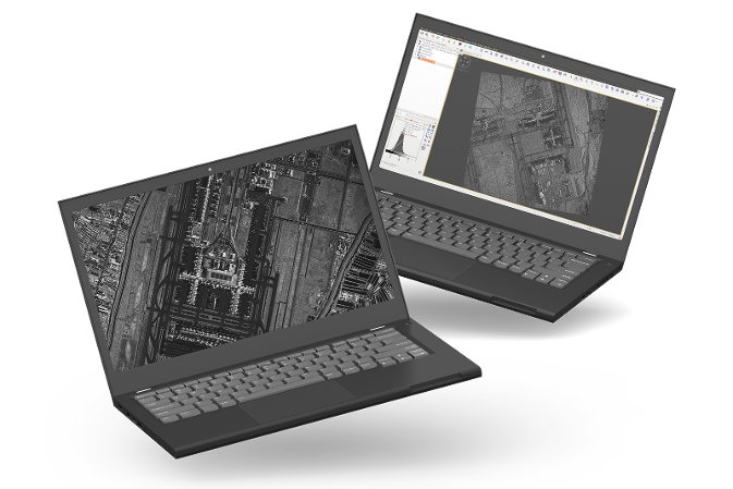
The key to these metrics being the basis of insurance products is getting accurate, timely and reliable data from floods. This is where satellite data is used to reach any location on Earth when a catastrophe strikes. Already today, effective insurance and reinsurance models can be built on top of the fast delivery of accurate new generation radar satellite images. Detected flood extent information can be combined with other information sources like digital elevation models (DEM) of the area, in order to analyse and evaluate the insurance impacts of a flood, at best within hours from an event, rather than days or weeks.
For insurers and reinsurers this new source of timely and reliable information means an improved position in the highly competitive insurance markets of the developed world. In developing countries, the catastrophe risks are similarly enormous, but the general insurance coverage is remarkably low. New and evolving parametric insurance products create fresh business opportunities especially in these uncovered areas, where poor solvency limits the adoption of desperately needed insurances.
Areas affected by disastrous floods can be extremely large. They can cover thousands of square kilometers of seashore as well as inland areas, such as whole cities, and vast areas around rivers and lakes. Satellite imaging helps in detecting potential risk areas early on in a natural catastrophe event, while it is still ongoing, and in providing swiftly detailed information from flooded areas for analysis.
Imaging floods from space comes with its own challenges. During these events, heavy cloud cover or night time may obstruct visibility for optical imaging.
Synthetic Aperture Radar (SAR) technology utilizes radar pulse echoes. Water is clearly detectable against ground in SAR imagery. ICEYE’s growing constellation of radar satellites is aimed to provide almost real time information of a flood’s progression. As the capacity of the constellation grows, the same place is set to be revisited by different ICEYE satellites with only hours between imaging opportunities. Thanks to radar imaging technology, the images can be taken through clouds and even during the night time.
Large urban areas can be analysed with high resolution radar satellite images which cover hundreds or even thousands of square kilometers of areas of interest at once. For preparation, images of areas that are under a risk of flooding are planned and taken in advance. In a flood situation, new imagery are delivered extremely rapidly to customers, at best within hours with equally frequent updates for further analysis.
ICEYE provides advanced analytics services for satellite data, including peak water depth and water impact area analysis on selected locations. With the help of accurate DEM information, the flood water depth can be determined at very high levels of detail, even down to tens of centimeters. Information that is collected ahead of time, during an event, and afterwards, enables better awareness and early assessments on areas that most likely will suffer from floods in the future.
ICEYE’s radar satellite data and the information derived from it can be used as a basis for parametric flood insurance products.
ICEYE provides timely and reliable SAR satellite data for advanced land and sea monitoring solutions for the use of insurance and reinsurance companies. Check out our latest data samples of high-resolution Spotlight imagery. Sample datasets are available for free download.
Download 


14 May 2026

18 March 2026

28 October 2025