Contact us
Get in touch with our experts to find out the possibilities daily truth data holds for your organization.
Persistent Monitoring
Natural catastrophe solutions

01 July 2019
5 min read
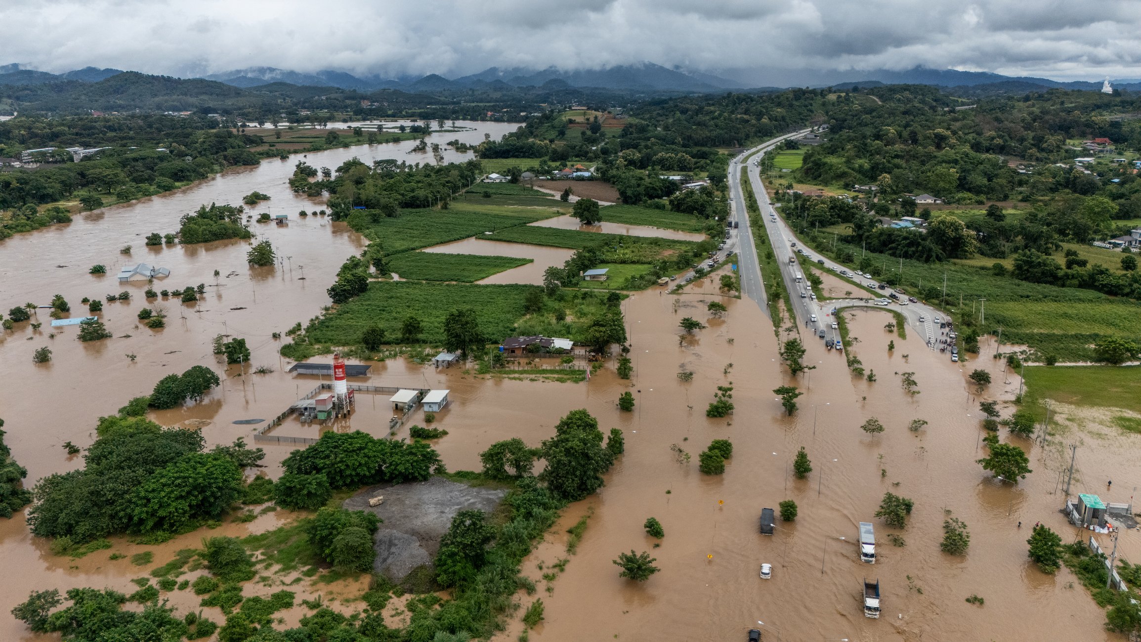
ICEYE’s radar satellite imaging technologies are ideal for developing highly competitive parametric...
Read more about SAR Satellite Data Paves Way Towards New Parametric Flood Insurance Products →
Sign up for our Insurance Newsletter for regular updates about ICEYE products and exclusive insights on the most pressing natural catastrophes delivered to your inbox.