Contact us
Get in touch with our experts to find out the possibilities daily truth data holds for your organization.

17 September 2024
10 min read
Learn about ICEYE synthetic aperture radar (SAR) imaging techniques and how radar impulses are used...
Read more about Beginner’s guide to synthetic aperture radar (SAR) technology →
17 November 2023
4 min read
Our Interferometric Synthetic Aperture Radar (InSAR) is assisting the Icelandic Met Office with...
Read more about ICEYE Interferometric Analysis: Monitoring Potential Volcanic Eruption in Iceland →
Sign up for our Insurance Newsletter for regular updates about ICEYE products and exclusive insights on the most pressing natural catastrophes delivered to your inbox.
04 July 2023
2 min read
ICEYE and Windward integrate SAR imagery with maritime AI and optical imagery, to produce...
Read more about Combining SAR with AI & Optical Imagery to Support Maritime Awareness →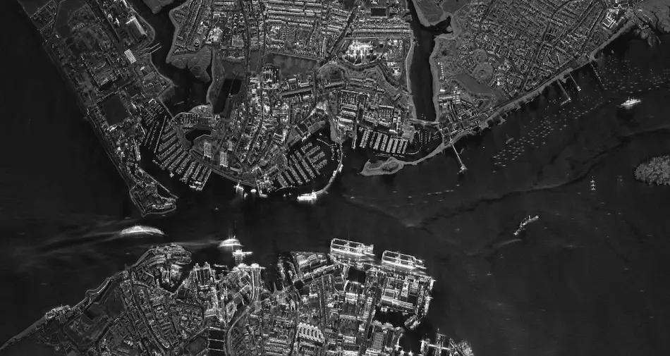
15 May 2023
4 min read
Combining SAR with other satellite imaging technologies offers unique potential to provide...
Read more about Next-level Space-based Intelligence – Utilizing SAR in Multi-sensor Data Collection →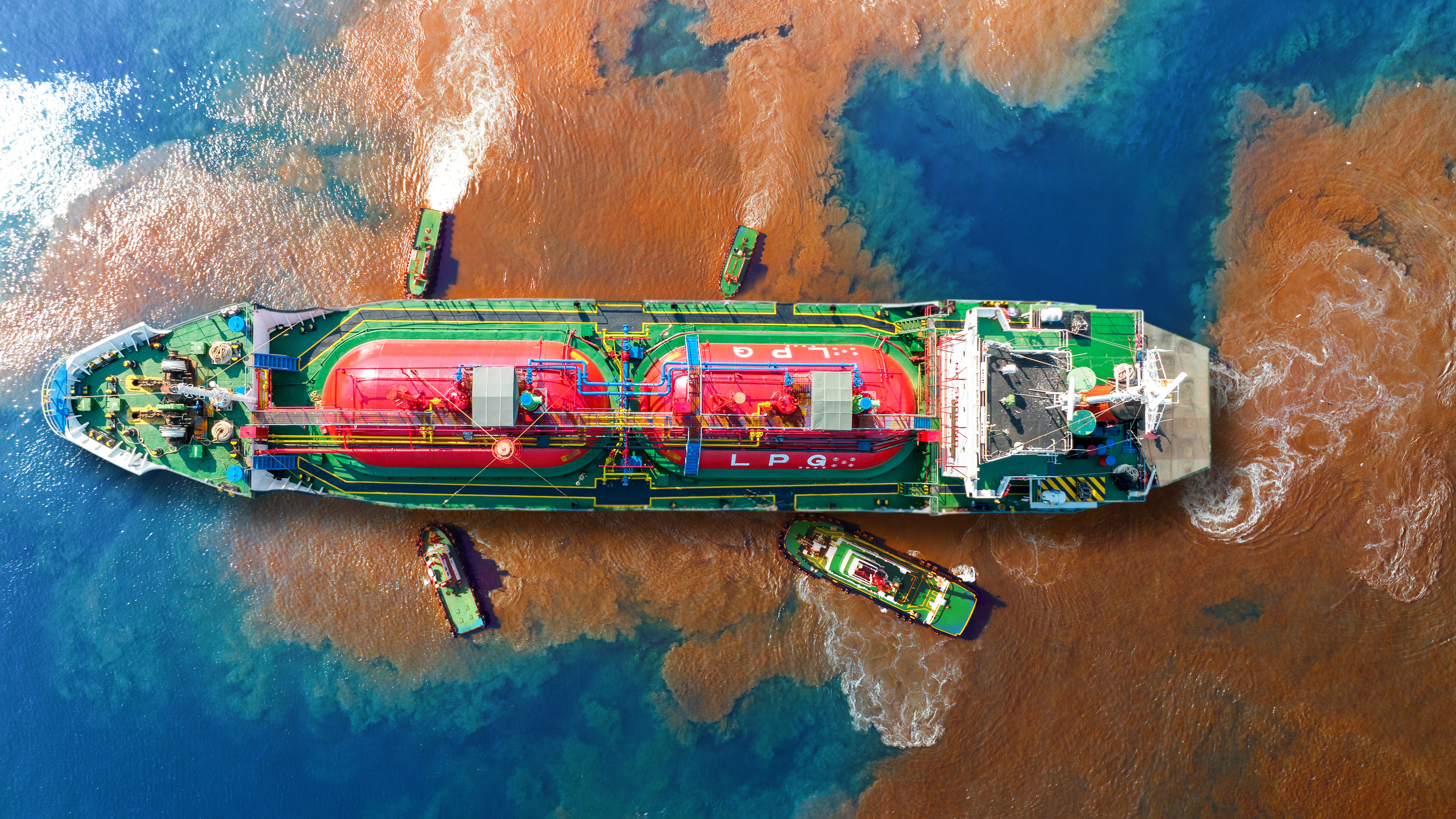
27 April 2023
4 min read
What if you could find and monitor oil spills in near real-time, day or night and in any weather?...
Read more about See and Respond to Oil Spills as They Happen with SAR →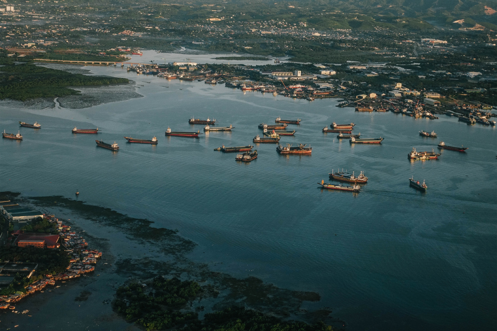
05 April 2023
3 min read
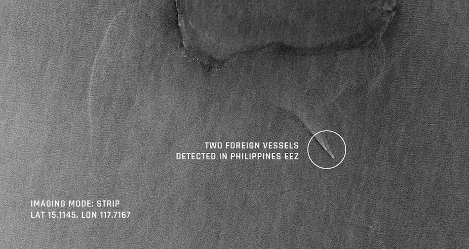
ICEYE provides nations with game-changing border security insights and persistent monitoring...
Read more about Go From Scrambling to Proactively Securing Your National Borders →
26 September 2022
8 min read
ICEYE's dockerized SNAP coregistration routine simplifies the spatial alignment of SAR time-series...
Read more about Easy Spatial Alignment of ICEYE SAR Data for Machine Learning →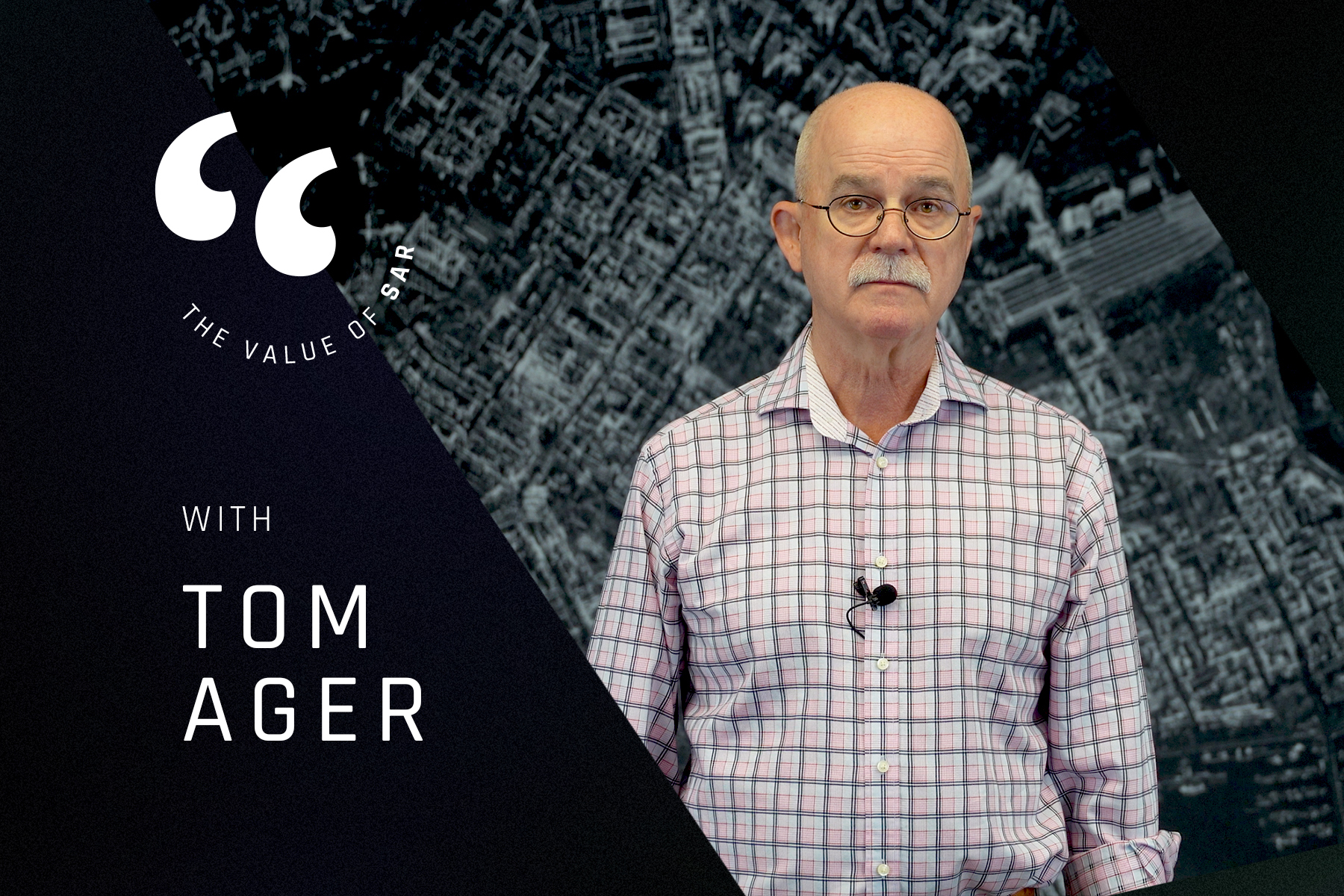
30 August 2022
8 min read
ICEYE's Value of SAR talk series challenged the stereotype of SAR being difficult. The first...
Read more about Why SAR Should be on Everyone’s Radar →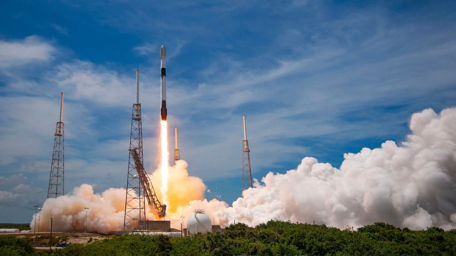
06 July 2022
6 min read
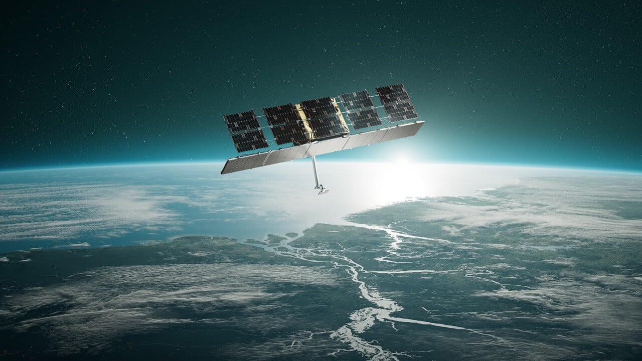
Read about our satellite launch through the eyes of Charles Blanchet, who was present at Cape...
Read more about The Thrill of a Satellite Launch →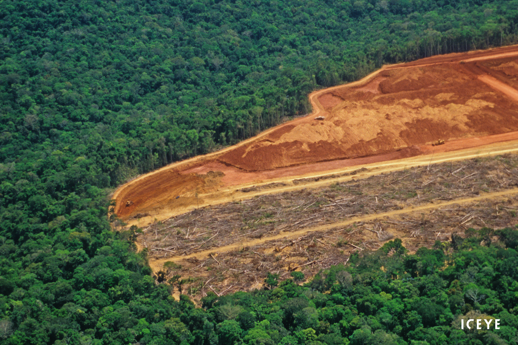
22 June 2022
12 min read
SAR data cannot easily be used for machine learning (ML). To simplify it, we've been developing the...
Read more about How to Build an ICEcube for Supervised Machine Learning with Time-series SAR Images →17 May 2022
12 min read
ESA and ICEYE collaborated on a novel method for tracking rapid changes in the Earth's surface. It...
Read more about ICEYE X ESA – Pioneering the Tracking of Rapid Changes on Earth →