Contact us
Get in touch with our experts to find out the possibilities daily truth data holds for your organization.

03 June 2021
6 min read
ICEYE is enabling new levels of access to data for persistent monitoring of large and small areas...
Read more about Welcome to a New Era in Data Access →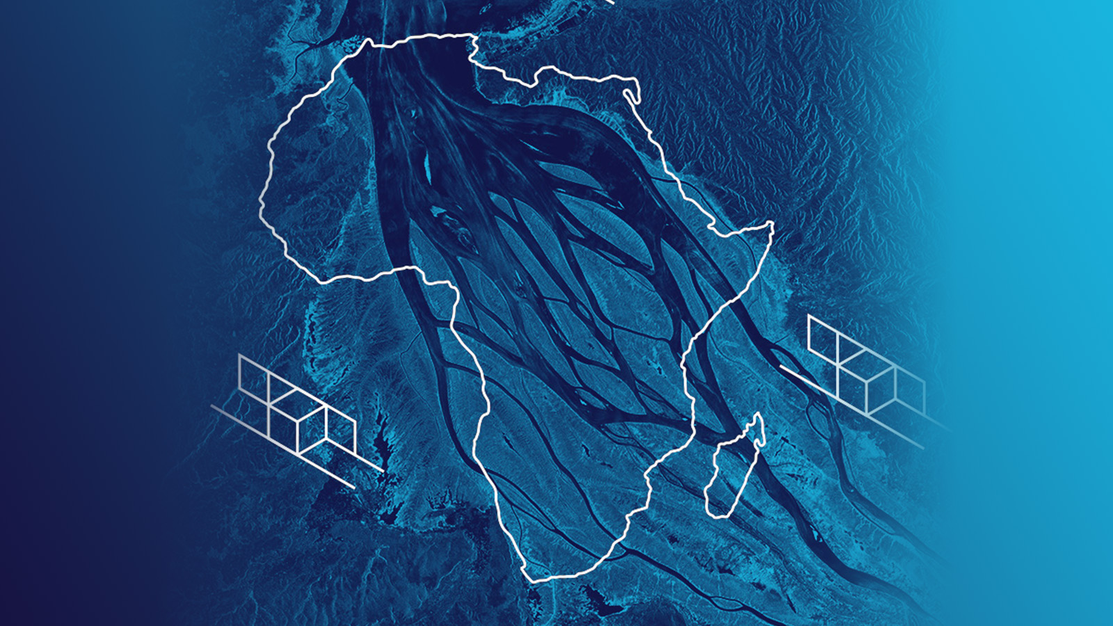
27 May 2021
10 min read
Radar satellites acquire images of Africa’s impressive natural landscapes with diverse ecosystems...
Read more about Africa in SAR Satellite Images – Celebrating the Beauty of the Continent →
Sign up for our Insurance Newsletter for regular updates about ICEYE products and exclusive insights on the most pressing natural catastrophes delivered to your inbox.
27 April 2021
4 min read
Spot SAR imagery reveals details in dense urban areas and provides invaluable insights for city...
Read more about ICEYE’s SAR Dataset Overview: City Infrastructure of Muscat, Oman →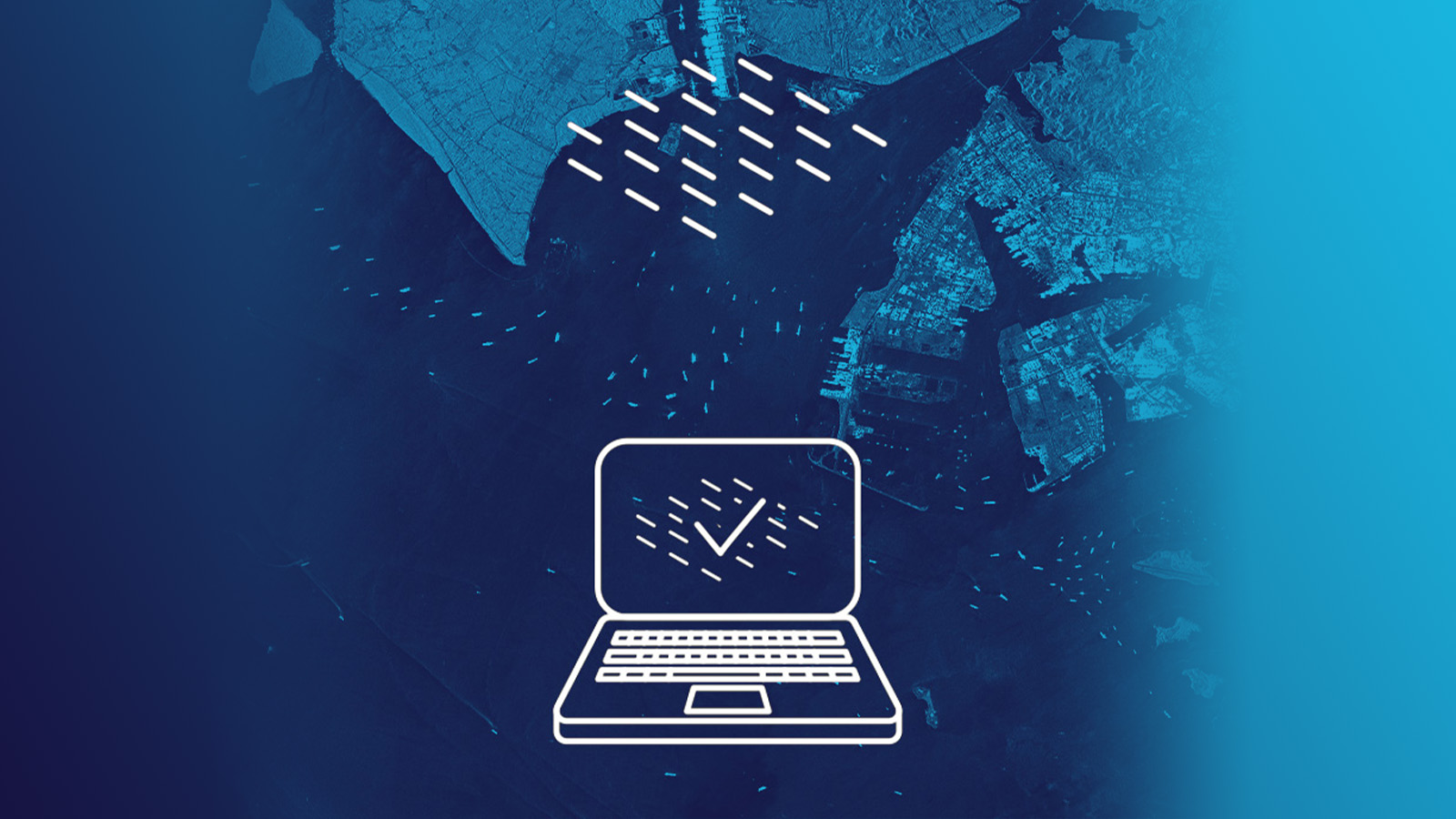
12 March 2021
4 min read
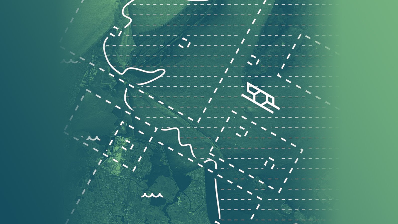
Quick access to data is a key component for satellite-based applications. Rapid satellite data...
Read more about Rapid Access to Satellite Imagery Enables Fast Detection and Monitoring of Changes on Ground →
12 February 2021
6 min read
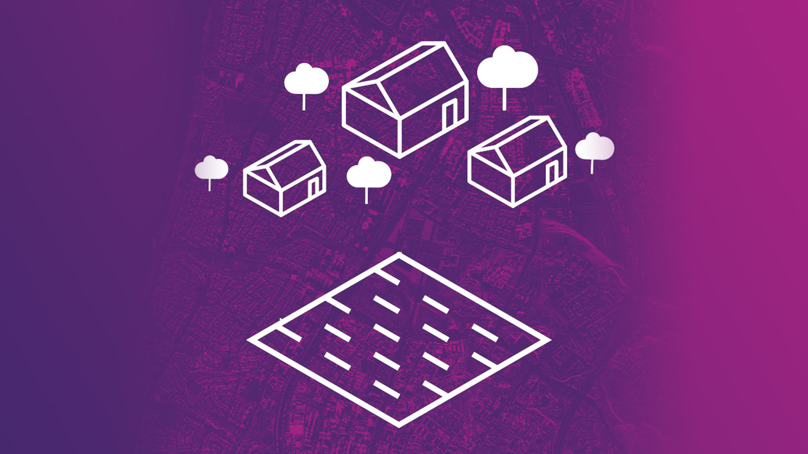
ICEYE Stripmap images are an information source for many use cases, such as field segmentation,...
Read more about ICEYE’s SAR Dataset Overview: Agricultural Areas in Kansas and California, U.S. →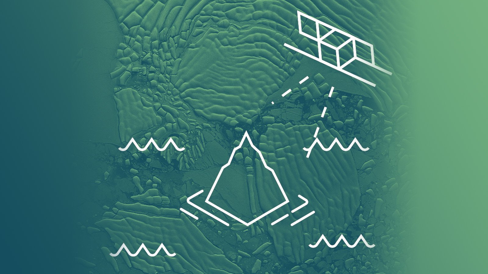
28 January 2021
7 min read
The term ‘tip and cue’ is used for the coordinated utilization of complementary sensor systems to...
Read more about Tip and Cue Technique for Efficient Near Real-Time Satellite Monitoring of Moving Objects →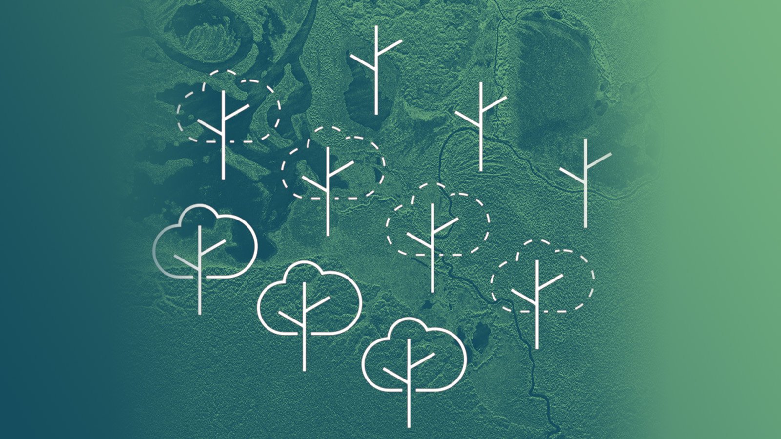
06 October 2020
8 min read
Satellite images are a reliable source to verify the extent and the level of forest loss, to better...
Read more about Deforestation and Forest Degradation Monitoring with SAR Satellite Imagery →
24 September 2020
6 min read
Radar satellite images are very beneficial for glacial studies supporting the growing focus on...
Read more about Monitoring Glacier Changes Using SAR Imagery →
20 August 2020
6 min read
Access to reliable site information is essential in the case of natural or man-made disasters. SAR...
Read more about In the Event of Humanitarian Disasters ICEYE Provides High-resolution SAR Satellite Imagery →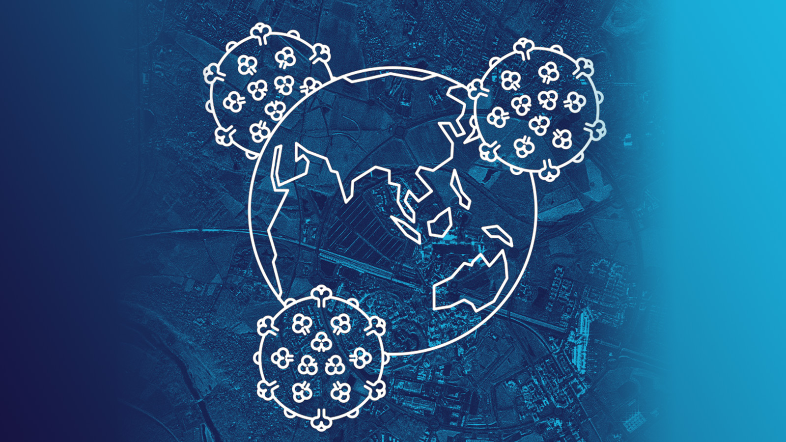
30 April 2020
7 min read
The worldwide COVID-19 pandemic forces countries and businesses to dramatically slow down most of...
Read more about Pattern-of-Life Changes in Theme Parks and Cruise Ship Businesses During COVID-19 Pandemic →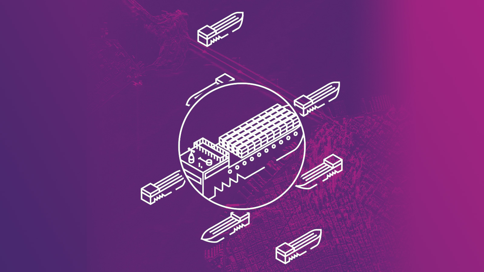
02 April 2020
10 min read
ICEYE has unveiled its latest capability of 25 cm resolution imaging with small SAR satellites,...
Read more about New Benchmark in Imaging from SAR Microsatellites: ICEYE Presents 25 cm Azimuth Resolution →