Contact us
Get in touch with our experts to find out the possibilities daily truth data holds for your organization.

13 April 2022
7 min read
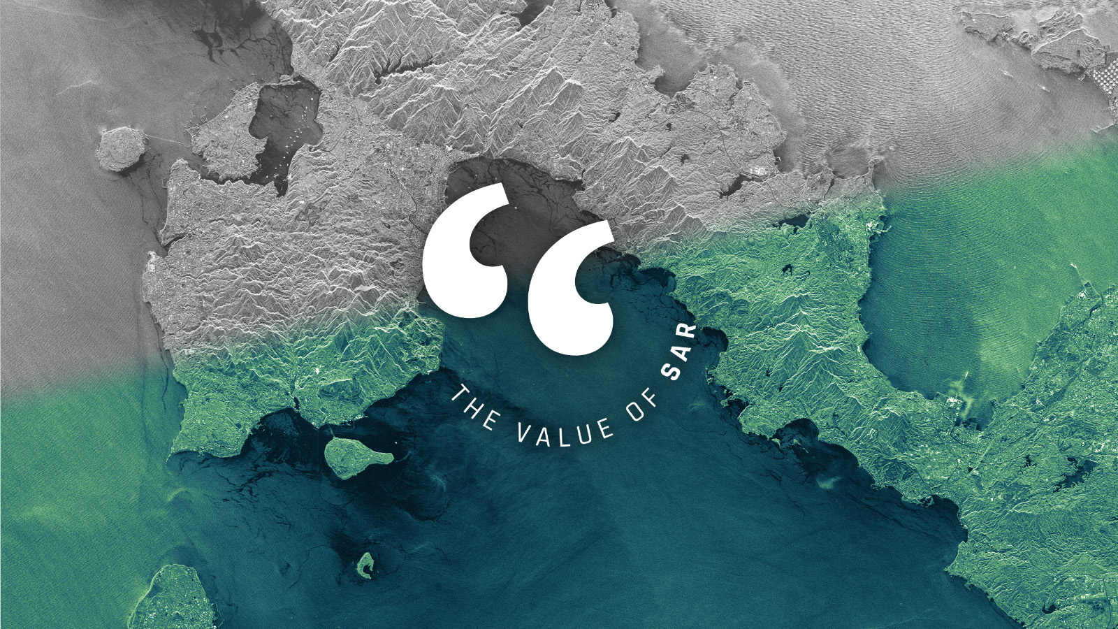
SAR provides information that no other technology can, but it still encounters reservations as the...
Read more about Let’s Talk About the Value of SAR →
29 March 2022
5 min read
How SAR imagery secured the Endurance22 expedition in the Antarctic Weddell Sea that was in danger...
Read more about A Path Through Sea Ice →
Sign up for our Insurance Newsletter for regular updates about ICEYE products and exclusive insights on the most pressing natural catastrophes delivered to your inbox.

02 March 2022
10 min read
Measuring the Earth in 3D and detecting the subtlest movements of terrain and objects from space is...
Read more about Beyond Change Detection: Measuring the Changes that Matter →
27 January 2022
9 min read
ICEYE’s new imaging capability combines two key parameters - resolution and coverage - in a...
Read more about See More at Once with Spot Extended Area Imagery →
27 December 2021
10 min read
ICEYE's successful year 2021 is full of great achievements and remarkable "World’s firsts".
Read more about Highlights of 2021 →
25 November 2021
7 min read
ICEYE at COP26: Geospatial intelligence helps respond to the perils caused by climate change. New...
Read more about This Is Where Earth Observation Comes In →
30 September 2021
8 min read
Daily observing of smallest changes using ICEYE's Daily Coherent GTR capability opens a new view...
Read more about See The Invisible, Do The Impossible →
25 August 2021
10 min read
We at ICEYE Analytics intend to make SAR less unnerving and foster machine learning applications...
Read more about Applying Machine Learning To Rapid Revisit SAR →
29 July 2021
7 min read
Large Earth-observing satellite constellations like ICEYE’s can rapidly and timely provide you with...
Read more about Real-Time Earth Observation – A Vision Becomes Reality →
13 July 2021
7 min read
Observe current events on Earth and anticipate what might happen next. With our Daily Coherent...
Read more about Towards Predicting Tomorrow →
03 June 2021
6 min read
ICEYE is enabling new levels of access to data for persistent monitoring of large and small areas...
Read more about Welcome to a New Era in Data Access →