Contact us
Get in touch with our experts to find out the possibilities daily truth data holds for your organization.


25 June 2021
5 min read
During a flood event, clear, decisive actions are critical. Achieve this with the right data to...
Read more about Streamline Claims Management Processes with Improved Data Speed, Quality, and Scale →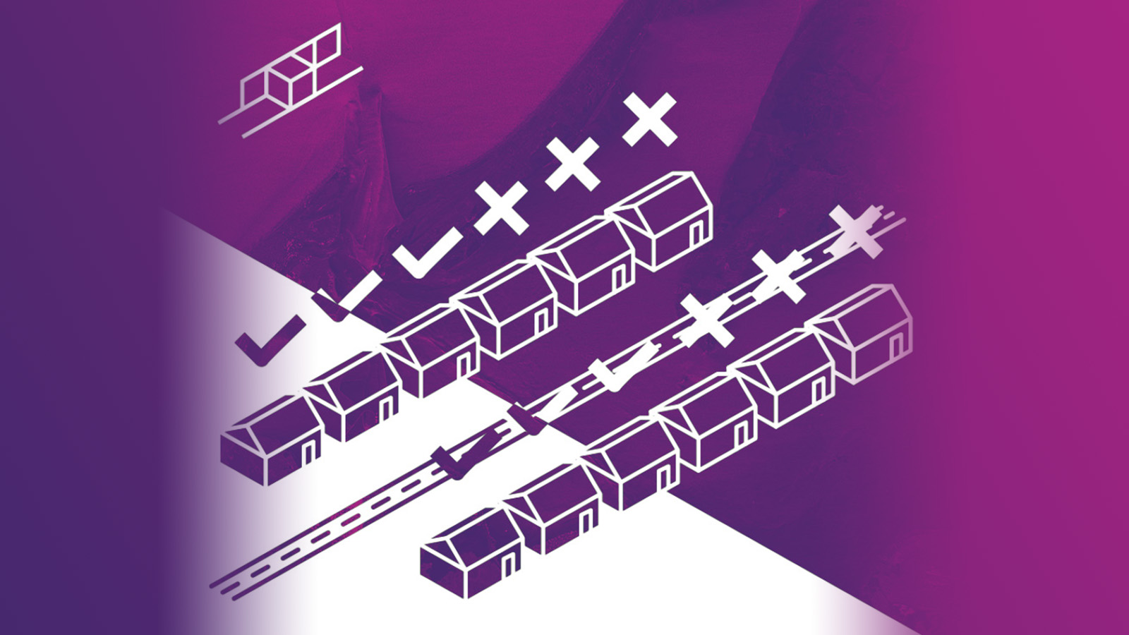
09 June 2021
4 min read
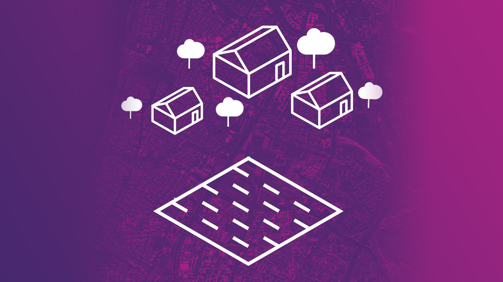
Claims execution provides an ideal opportunity to impress your customer with an excellent customer...
Read more about Four Tips on Utilizing Data to Enhance Your Claims Process →
Sign up for our Insurance Newsletter for regular updates about ICEYE products and exclusive insights on the most pressing natural catastrophes delivered to your inbox.
27 April 2021
4 min read
Spot SAR imagery reveals details in dense urban areas and provides invaluable insights for city...
Read more about ICEYE’s SAR Dataset Overview: City Infrastructure of Muscat, Oman →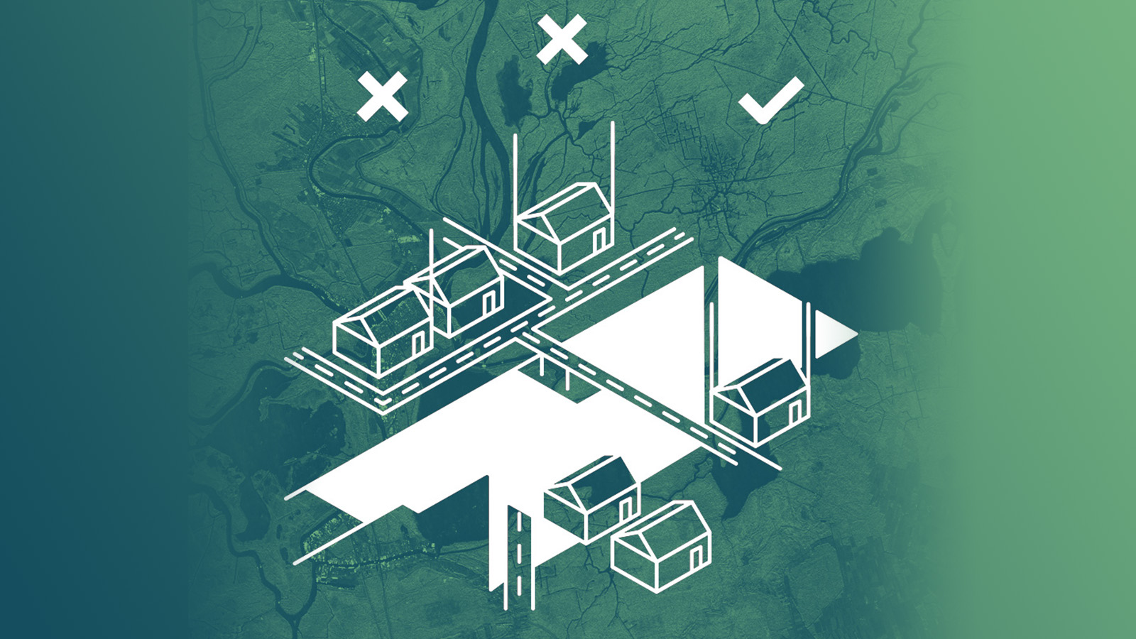
24 March 2021
3 min read
When a flood hits anywhere in the world, it takes only 24 hours for insurers to have access to...
Read more about Podcast: Introducing ICEYE’s Satellite-Based Flood Monitoring Solution for Major Insurers →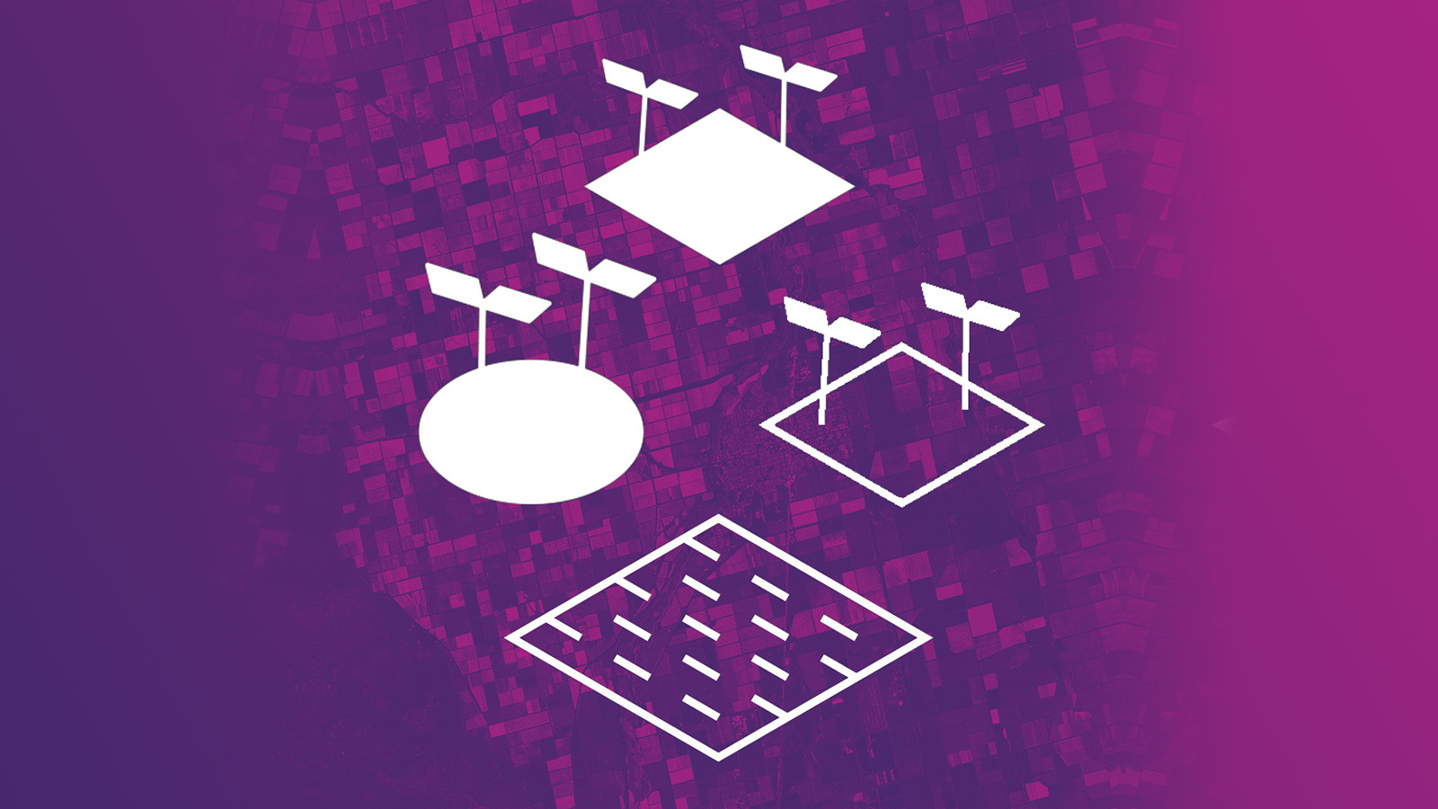
12 February 2021
6 min read
ICEYE Stripmap images are an information source for many use cases, such as field segmentation,...
Read more about ICEYE’s SAR Dataset Overview: Agricultural Areas in Kansas and California, U.S. →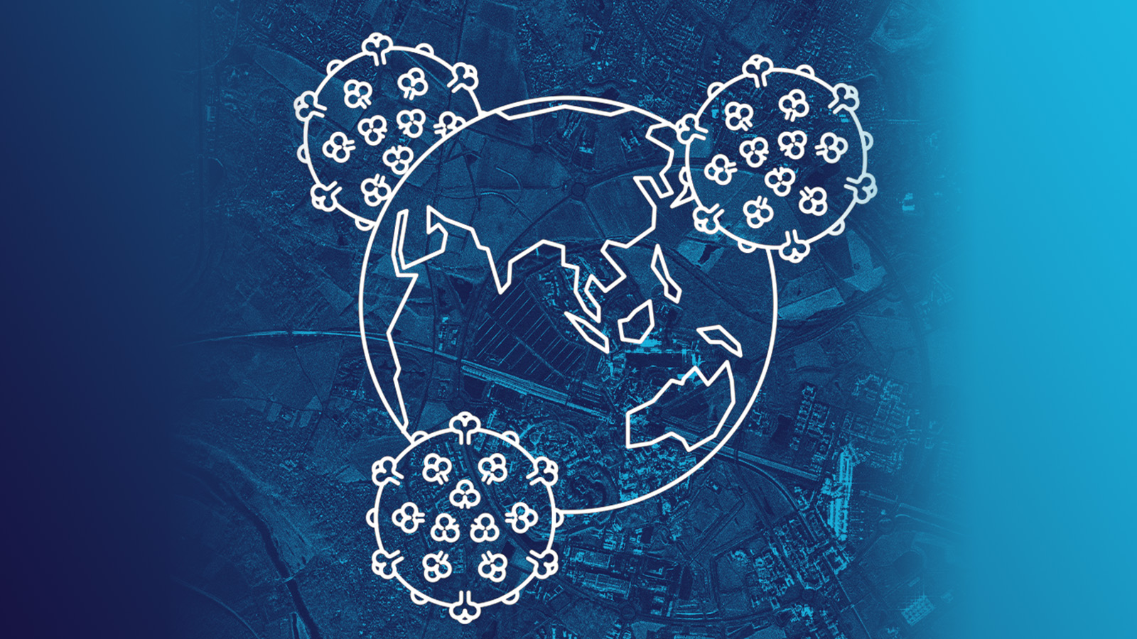
30 April 2020
7 min read
The worldwide COVID-19 pandemic forces countries and businesses to dramatically slow down most of...
Read more about Pattern-of-Life Changes in Theme Parks and Cruise Ship Businesses During COVID-19 Pandemic →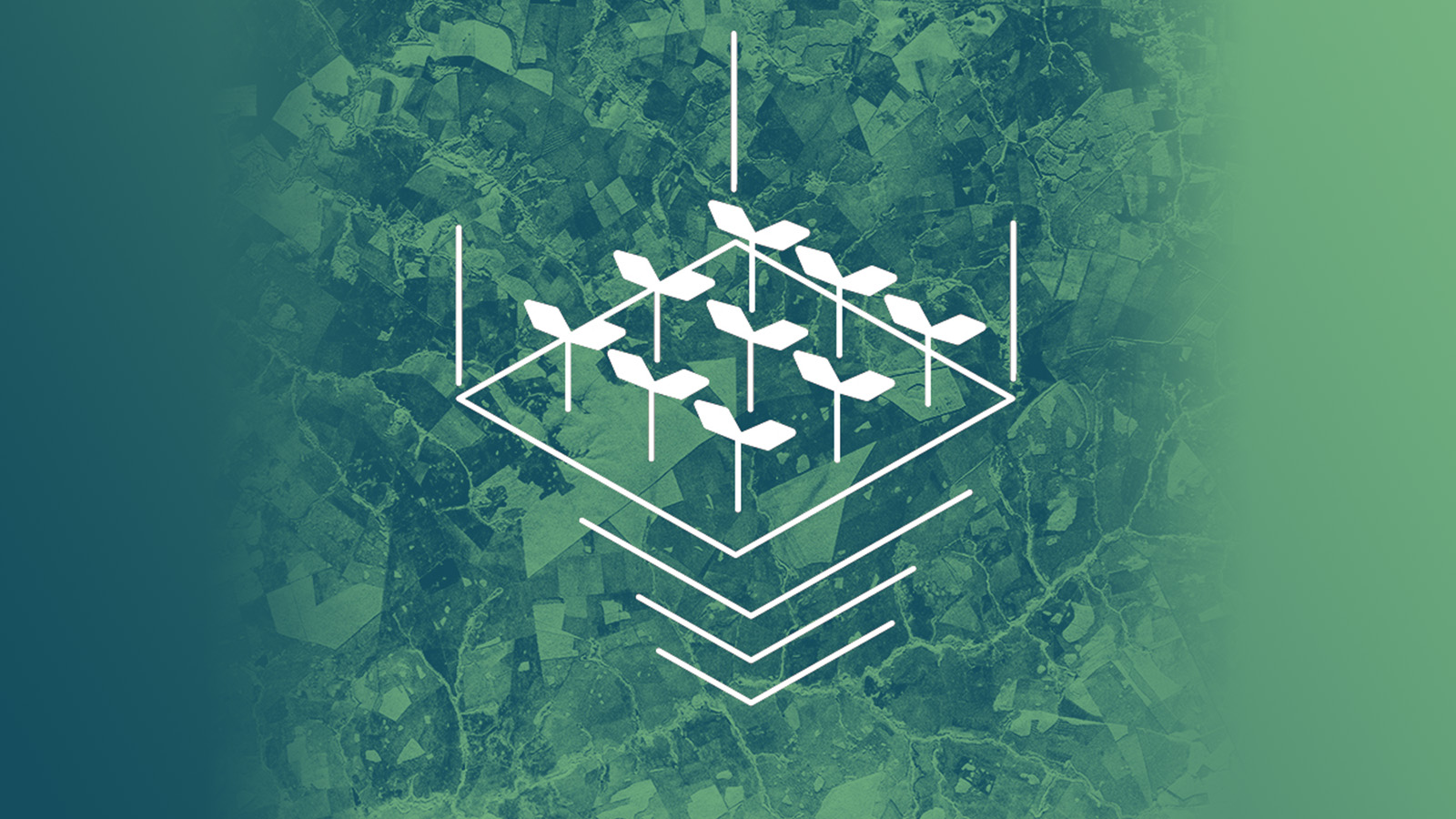
29 January 2020
5 min read
Radar satellite technology enables valuable new solutions for improving agricultural governance and...
Read more about Turning over a New Leaf for Agricultural Financing with Frequent Crop Monitoring from Space →
08 January 2020
5 min read
Fast access to radar satellite imaging enables timely detection and validation of oil spills in...
Read more about Timely SAR Data Speeds Up Marine Oil Spill Response: Two Example Cases →
26 July 2019
6 min read
100% of satellite missions eventually end. New Space thinking is changing the way satellite...
Read more about Space Is Hard — New Space Is Changing the Way the Industry Thinks About Satellite Missions →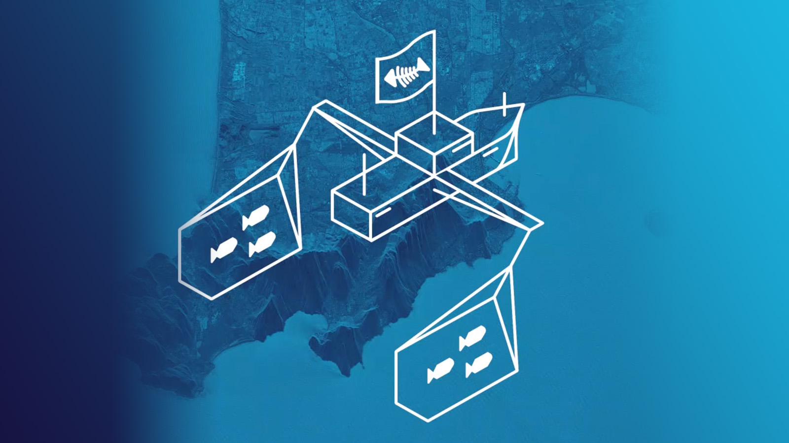
18 June 2019
5 min read
New radar satellite technologies will enhance detecting, monitoring and acting on suspicious...
Read more about How to Address Illegal Fishing in Asia with Actionable Satellite Data →