Contact us
Get in touch with our experts to find out the possibilities daily truth data holds for your organization.

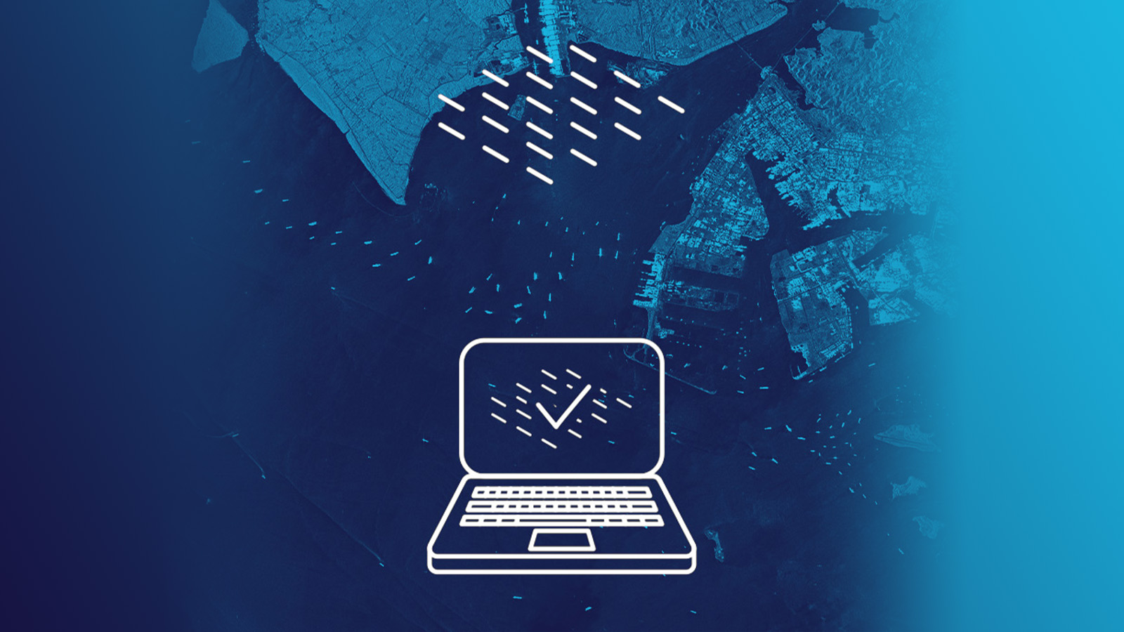
The suitability of satellite data for change detection and monitoring applications depends not least on their quick availability for the user. Satellite operators are responding to the growing demand for near real-time data and constantly working to shorten delivery times for customers. The goal is to provide access to satellite data at any time to best support time-sensitive applications.
In this blog, you'll find some considerations on why rapid access matters and how it is achieved.
In the world of satellite imagery, the term “rapid access” is used in the context of obtaining satellite data over a specific area as quickly as possible after an order has been placed. It is not a quantified term; it does not define a specific time period.
Rapid access to imagery refers to the ability of a satellite or satellite constellation system to be tasked and acquire images within the shortest time, together with the availability of smooth downlink and processing procedures combined with rapid ordering and delivery processes.
This is essential for all time-critical applications. The faster the data is available, the sooner changes on the Earth’s surface can be detected, and the more precise the information value for the application or mission.
Fast data availability is one of the key parameters to enable rapid change detection and near real-time analysis, such as patterns of life monitoring and rapid response applications, like natural and man-made disaster management or iceberg tracking to ensure safe shipping lanes, to name a few.
"Ethiopia's Prime Minister Abiy Ahmed's office, @PMEthiopia : "... the #GERD first year filling is achieved and the dam under construction is already overtopping". ICEYE #SAR satellite images from May 9th and 20th July show a dramatic change at the Grand Ethiopian Renaissance Dam."
— ICEYE (@iceyefi) July 22, 2020
Figure. Twitter post showing ICEYE imagery of the Grand Ethiopian Renaissance Dam (GERD) before and after the filling started in July 2020.
There are many imaging satellites in orbit that collect data around the world, however quick access to data is not always possible. In order to enable rapid access capability, several parameters must be in place.
A single satellite cannot fulfill the need for receiving images over a certain area within hours reliably. The access to several satellites which are operated in a constellation is needed. Additionally, the satellites have to be agile in tasking to capture the area of interest rapidly and to avoid waiting times of potentially days until the next satellite passes over the area.
Several satellites also reduce the revisit time, the capability of a constellation to repeat image acquisitions over a chosen area in short time intervals. This is essential for accurate and persistent monitoring of rapidly changing phenomena.
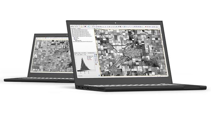
Additionally, the performance of the ground segment is decisive. It requires responsive acquisition planning that determines how quickly a satellite can be tasked for an acquisition. Once the image is acquired, the data must be downlinked. The downlink time depends on the number of available ground receiving stations. Before the data can be delivered to the user, it still has to be processed into the desired data product and pass the quality checks.
This workflow has to be optimized to run smoothly and reliably, as only its entirety can ensure a rapid access rate to the available satellite data.
ICEYE operates the most advanced synthetic-aperture radar (SAR) satellite constellation. It comprises a large number of agile small satellites that provide fast and responsive access as well as a high revisit rate. This constellation ensures predictable, fast access to SAR imagery of any area on Earth at any time.
A dense network of ground receiving stations minimizes the downlink time and a global 24/7 customer service ensures immediate order management, data processing and deliveries around the clock. ICEYE has a proven track record of delivery and regular capability enhancements. Over the last years, ICEYE has consistently improved the turnaround time from a customer order to delivery significantly.
In addition, SAR satellites have the unique advantage of providing guaranteed applicable imagery. Unlike optical images, SAR images can be acquired regardless of weather and daylight conditions providing information at any time. Optical sensors, on the other hand, can provide valuable imagery only under cloud-free conditions.
ICEYE's capability for quick access to imagery is ideal for enhancing and expanding existing applications and for developing new time-critical applications, such as long-term monitoring of large areas.
ICEYE’s SAR images are suited for monitoring large areas with different resolutions in near real-time. This allows the observation and analysis of specific changes and the monitoring of various patterns on the Earth’s surface during day and night and under all weather conditions.
Explore the use of ICEYE imagery for your monitoring application by downloading our recent Stripmap dataset.
Download 


23 January 2026

06 November 2025

27 June 2025