Contact us
Get in touch with our experts to find out the possibilities daily truth data holds for your organization.

06 October 2020
8 min read
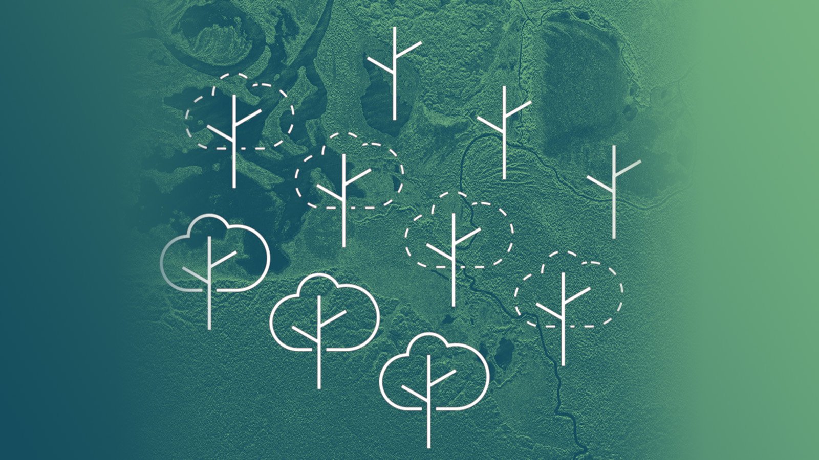
Satellite images are a reliable source to verify the extent and the level of forest loss, to better...
Read more about Deforestation and Forest Degradation Monitoring with SAR Satellite Imagery →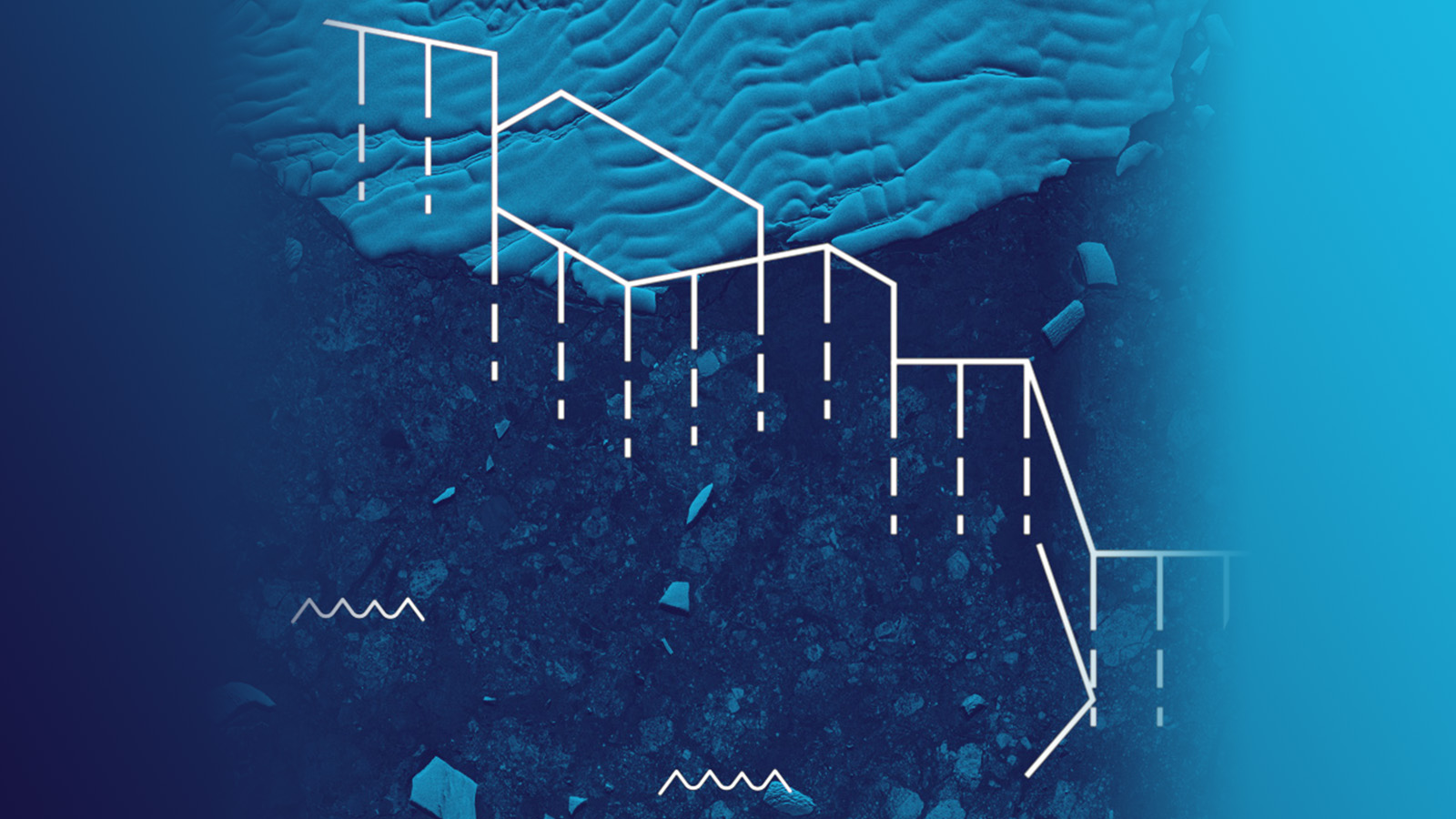
24 September 2020
6 min read
Radar satellite images are very beneficial for glacial studies supporting the growing focus on...
Read more about Monitoring Glacier Changes Using SAR Imagery →
Sign up for our Insurance Newsletter for regular updates about ICEYE products and exclusive insights on the most pressing natural catastrophes delivered to your inbox.
20 August 2020
6 min read
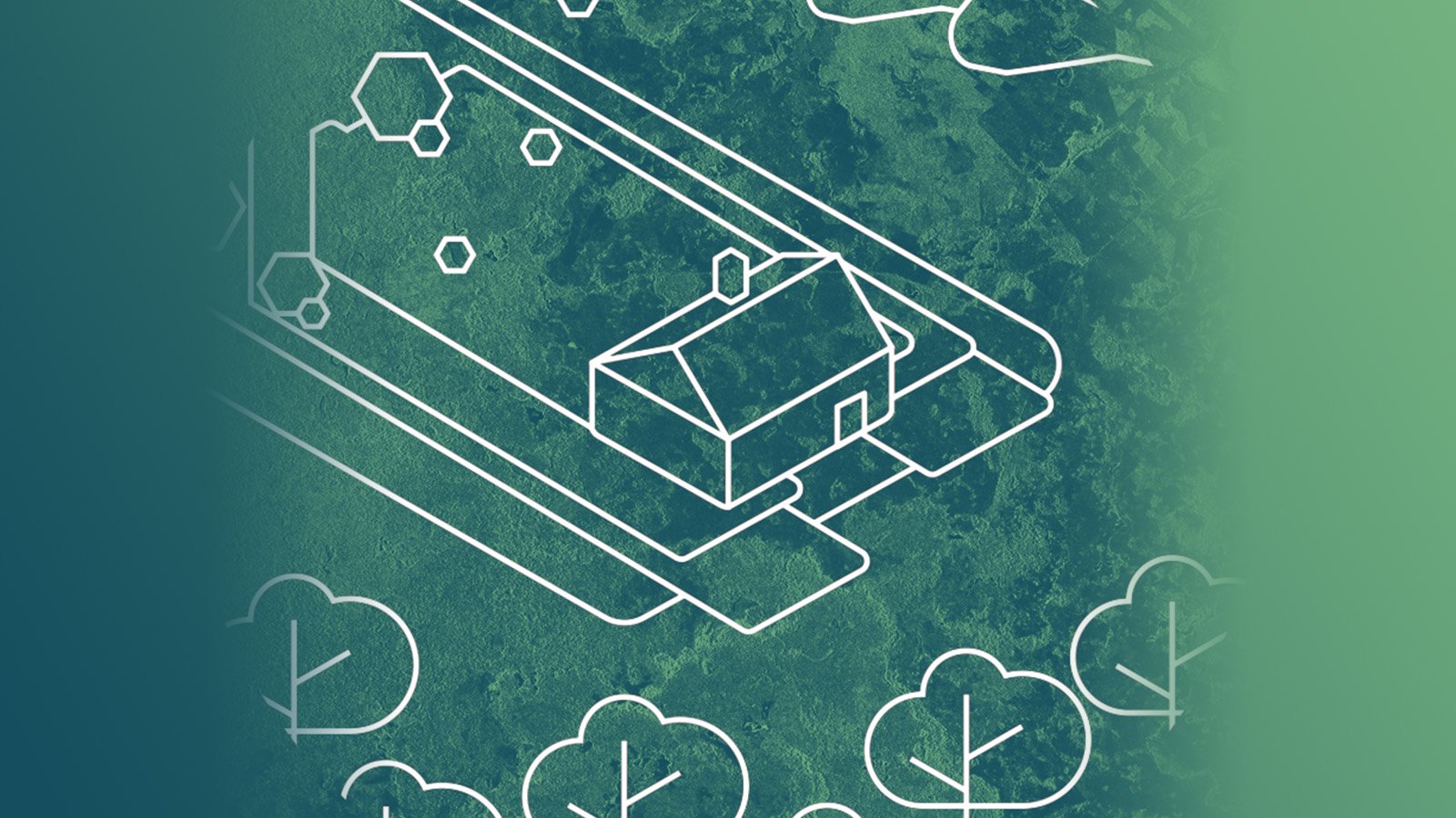
Access to reliable site information is essential in the case of natural or man-made disasters. SAR...
Read more about In the Event of Humanitarian Disasters ICEYE Provides High-resolution SAR Satellite Imagery →