Contact us
Get in touch with our experts to find out the possibilities daily truth data holds for your organization.


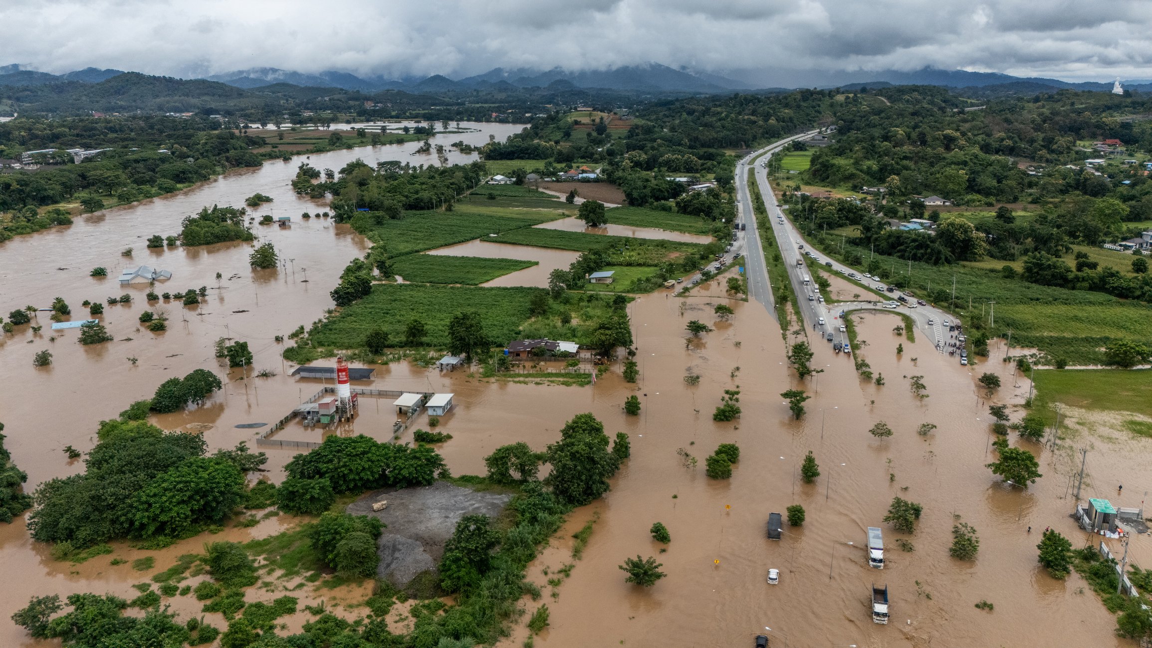
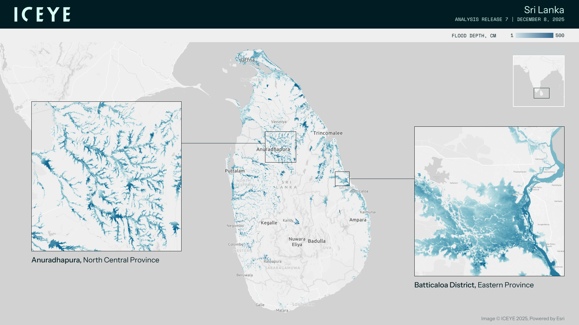
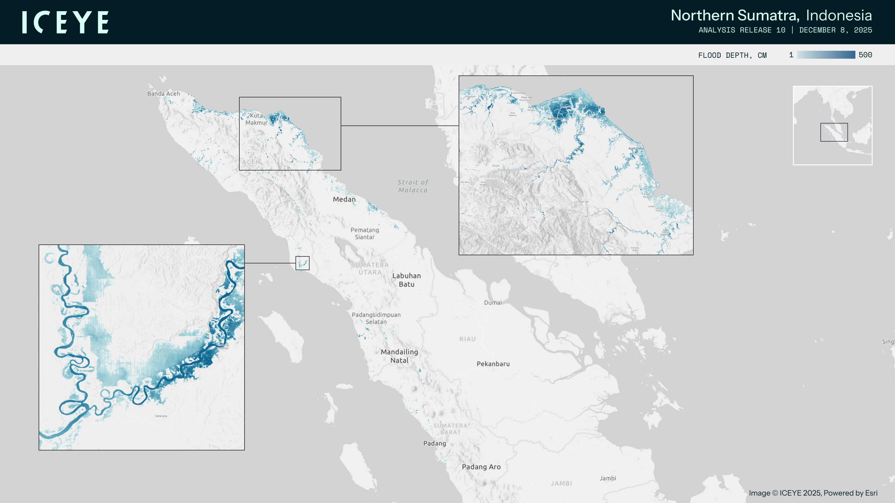
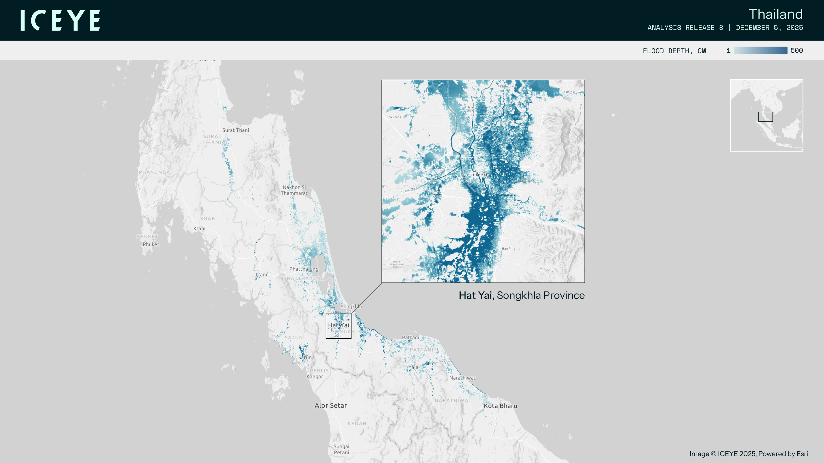
In late November, two storms formed in the Bay of Bengal region. Cyclones Senyar and Ditwah were the third and fourth cyclones of the 2025 North Indian cyclone season. While damaging winds were not a factor, both events caused widespread catastrophic flooding. Senyar brought abundant rainfall to portions of northern Indonesia and western Malaysia, while Ditwah dumped rain across Sri Lanka and portions of southeast India. ICEYE captured both flood insights and rapid impact data for these weather events to support responders across Sri Lanka, Indonesia, and Thailand.
Our team monitored the cyclone and provided near real-time flood extent and depth information to news outlets, NGOs and numerous government agencies in the region.
ICEYE monitored both cyclones from formation through land impacts, acquiring 99 total SAR images across the affected countries:
Across Sri Lanka, Indonesia, and Thailand, more than 477,000 buildings were impacted by flooding associated with Cyclones Senyar and Ditwah. Over 163,000 buildings faced floodwaters deeper than 152 cm (5 ft).
30 September 2026

24 September 2026
03 September 2026