Contact us
Get in touch with our experts to find out the possibilities daily truth data holds for your organization.

27 May 2021
10 min read
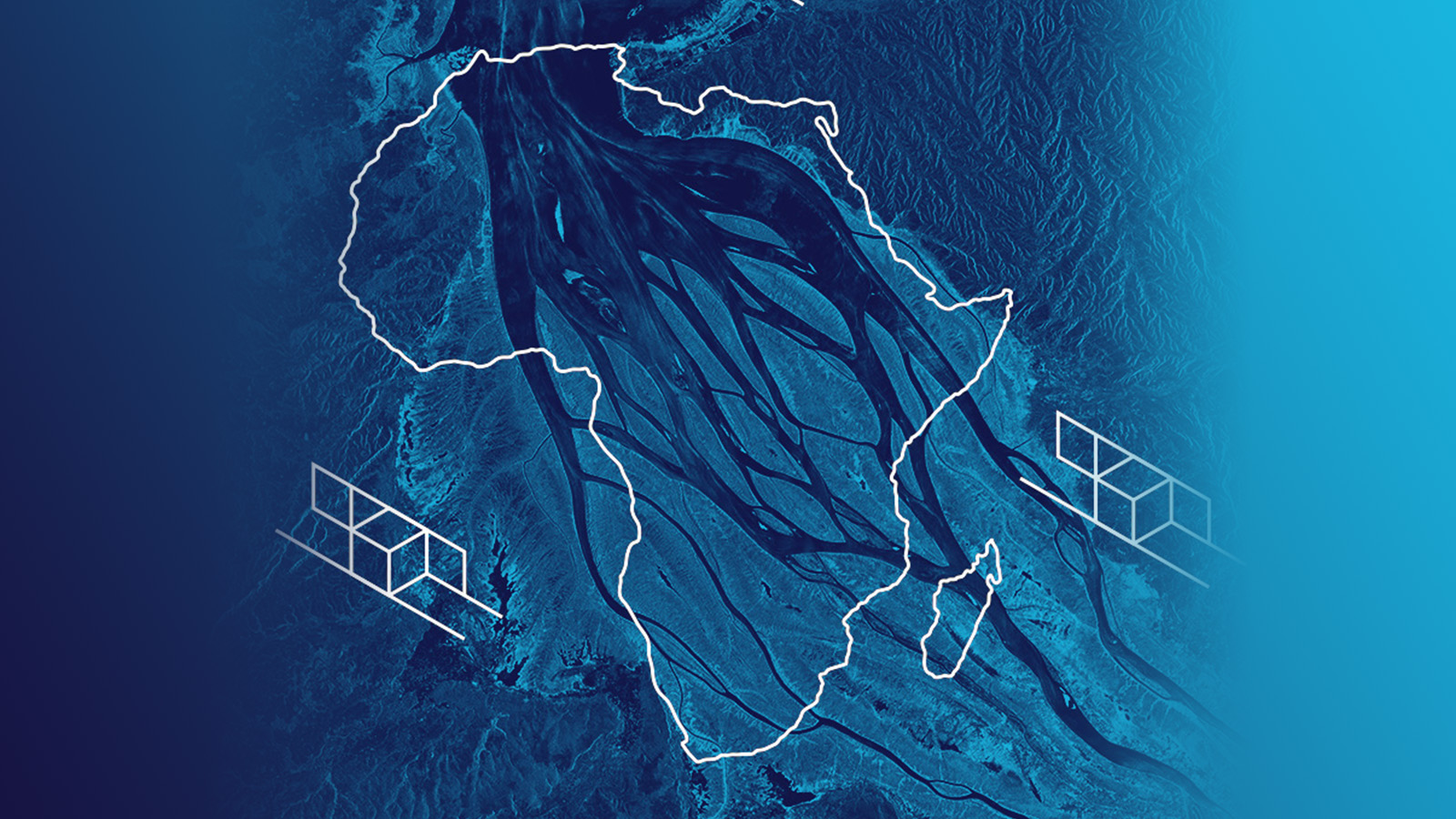
Radar satellites acquire images of Africa’s impressive natural landscapes with diverse ecosystems...
Read more about Africa in SAR Satellite Images – Celebrating the Beauty of the Continent →
Sign up for our Insurance Newsletter for regular updates about ICEYE products and exclusive insights on the most pressing natural catastrophes delivered to your inbox.