Contact us
Get in touch with our experts to find out the possibilities daily truth data holds for your organization.

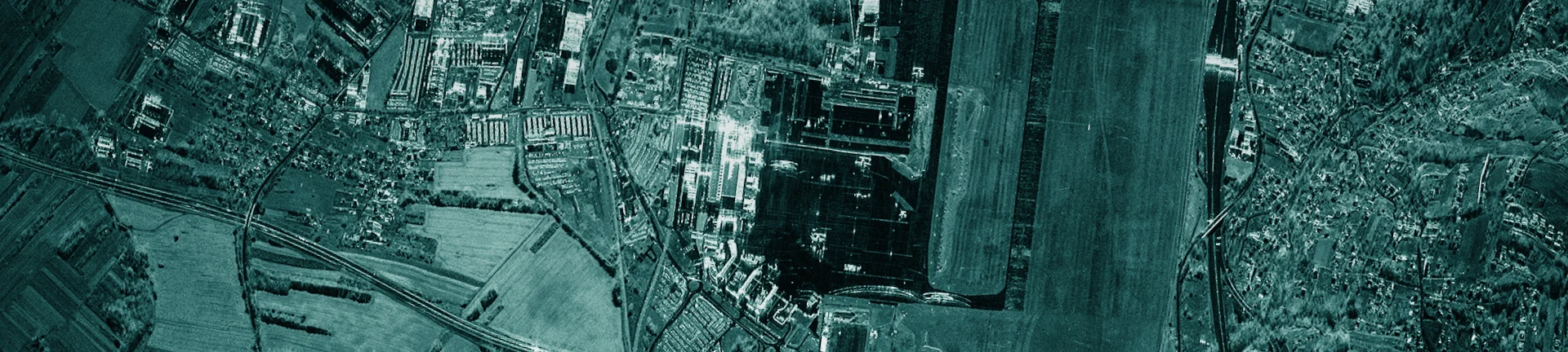
Tasking
Task ICEYE SAR satellites to access groundbreaking data on any location on Earth – day or night and in any weather. The process is simple and images are usually delivered within few hours of your initial request.
Define your area of interest in the form of a latitude/longitude pair in the WGS84 coordinate system or attach a KML/KMZ or GeoJSON file to your order.
Include the start and end time for your order, acquisition time windows, and repeat cycle.
Select whether you would like a single acquisition of your area of interest (AOI) or a stack of images of the same AOI over a defined period.
Choose the imaging mode that suits your specific needs. Available modes: Dwell, Strip, Spot, and Scan.
Once your order is confirmed, the acquired imagery will be delivered to you on agreed timelines.
You can order a feasibility study of any standard order you are considering.
Coverage of large areas by acquiring multiple images.
Each acquired image must cover a minimum percentage of the area of interest (AOI).
Images belonging to a stack or mosaic collection should be acquired within a certain local time range.
Images that exceed the standard frame size of the requested imaging mode to cover the desired AOI. For example, long Strip acquisitions.
Images belonging to a stack or mosaic collection should be acquired within a certain azimuth angle range.
For example a 72- or 96-hour time window for each acquisition.
Learn more about ICEYE SAR satellite data for persistent monitoring, and specific imaging modes.
Page
The product documentation describes ICEYE SAR product specifications, image ordering process, and related support information.
Page
Access open imagery from the world's largest SAR satellite constellation
For quickly identifying potential acquisition opportunities over any area of interest with the ICEYE satellites and sensor, speeding up the efforts in data ordering for your needs.

Viewing, pre-processing, georeferencing, and exporting files for the GIS platform from ICEYE high-resolution data.

Explore relevant use cases of ICEYE SAR satellite data for the insurance industry.

ICEYE Blog • July 28, 2026 • 8 min read

ICEYE Blog • June 3, 2026 • 13 min read

ICEYE Blog • January 23, 2026 • 6 min read

ICEYE Blog • November 6, 2025 • 13 min read

ICEYE Blog • June 27, 2025 • 7 min read