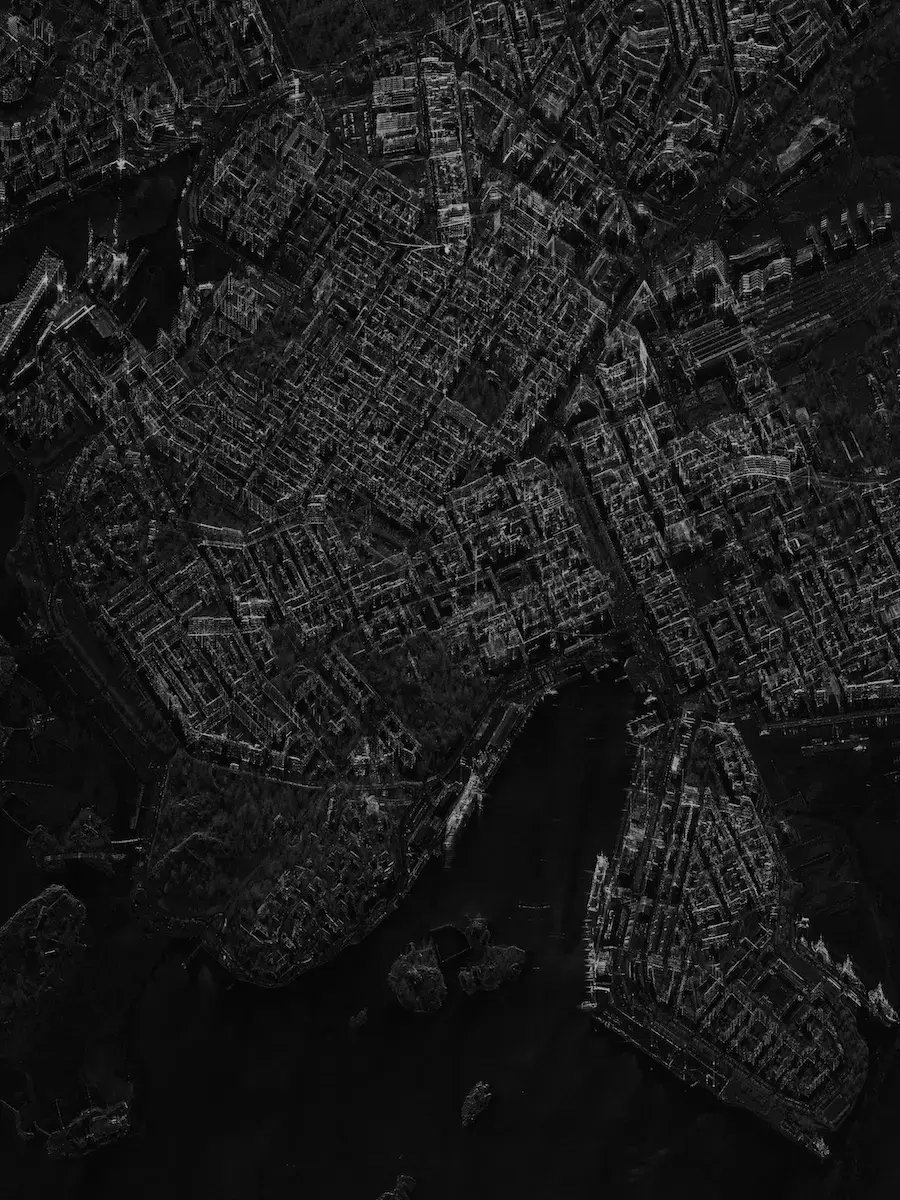
ICEYE_SAR_Helsinki

Faster decisions for a safer future

Persistent, all-weather space-based ISR for defense and intelligence organizations worldwide. From on-demand access to fully sovereign national systems.

ICEYE_kooste_thumbnail_04_shay

It's a new way to understand Earth

See and react to changes on Earth in near real-time

From images to intelligence

Persistent SAR intelligence is now central to modern defense

When any location on Earth can be observed in near real time, governments that see clearly and act early hold the advantage. Reliable, persistent intelligence has become a requirement for national sovereignty.

ICEYE works with defense and intelligence organizations across the globe. They need continuous, all-weather awareness of the things that matter to them: contested borders, critical infrastructure, maritime approaches, force movements, and sites of strategic interest.

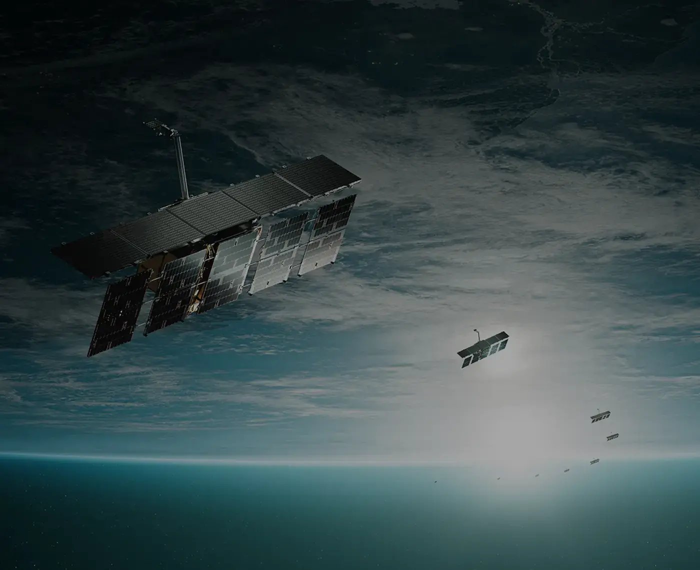
Owning and operating the world's largest Synthetic Aperture Radar (SAR) constellation, we help defense and intelligence leaders build the intelligence capability their security situation requires, from data services accessed today through to sovereign constellations operated under national command.

THE ONLY SENSOR THAT IS ALWAYS-ON

How defense forces put it to work

In a SAR image, each pixel carries information. The radar signal bouncing back reveals what an object is made of, its shape and texture, and whether it’s moving. The result is a detailed image of an exact location, captured at high quality regardless of weather or time of day.

This means SAR data can show a metal vehicle hidden under tree cover, identify recent activity at an airfield at night, or detect a vessel that has switched off its transponder. Where concealment and weather deny optical collection, SAR still delivers.

Athens_Greece

Defense & intelligence use cases

In defense, SAR-derived intelligence monitors borders and contested areas, tracks ships and aircraft, detects changes around military sites, supports targeting decisions, and provides commanders with continuous situational awareness.

ICEYE system produces both raw SAR data and derived intelligence products across three operational patterns.
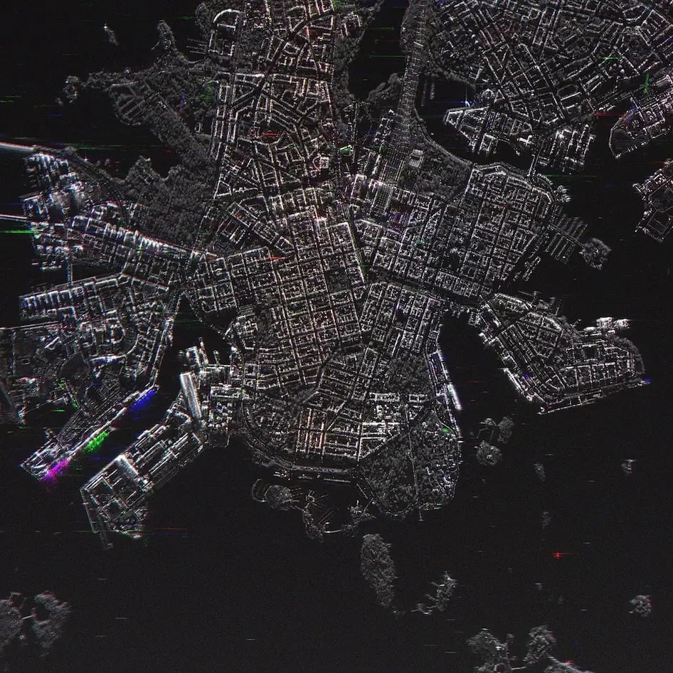
central-helsinki-change-detection-iceye-sar-data

Tactical response

16 cm resolution imagery of specific targets with sub-hour latency. Target acquisition, force protection, and strike planning against fixed and mobile assets. Fast re-imaging after an event delivers battle damage assessment in the same collection cycle.

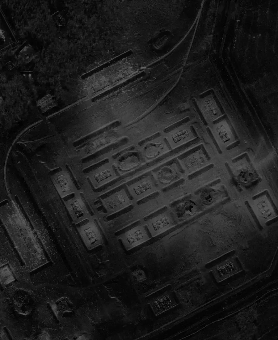
Technology-Change_Detection_ICEYE

Strategic monitoring

Repeated imaging on the same location over weeks and months. Detect change in activity and infrastructure, and catalogue forces by location, unit composition, and equipment. Maintain a current order of battle on adversary or allied land forces in a given area.

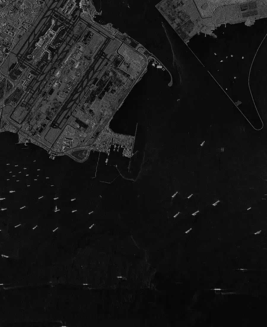
4454318_Singapore_Malacca_Strait_GRD_SC (1)

Broad area search

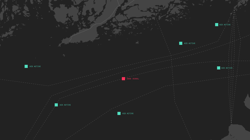
Tens of thousands of square kilometres per pass for large area search across an entire region. Find and classify vessels, track movement, and detect dark ships for maritime security. Establish a common operating picture where no single sensor could cover the area.
flexible deployment

Access and ownership options

Our SAR-powered ISR solutions provide flexible deployment models and operational scenarios tailored to the needs of defense and intelligence organizations.

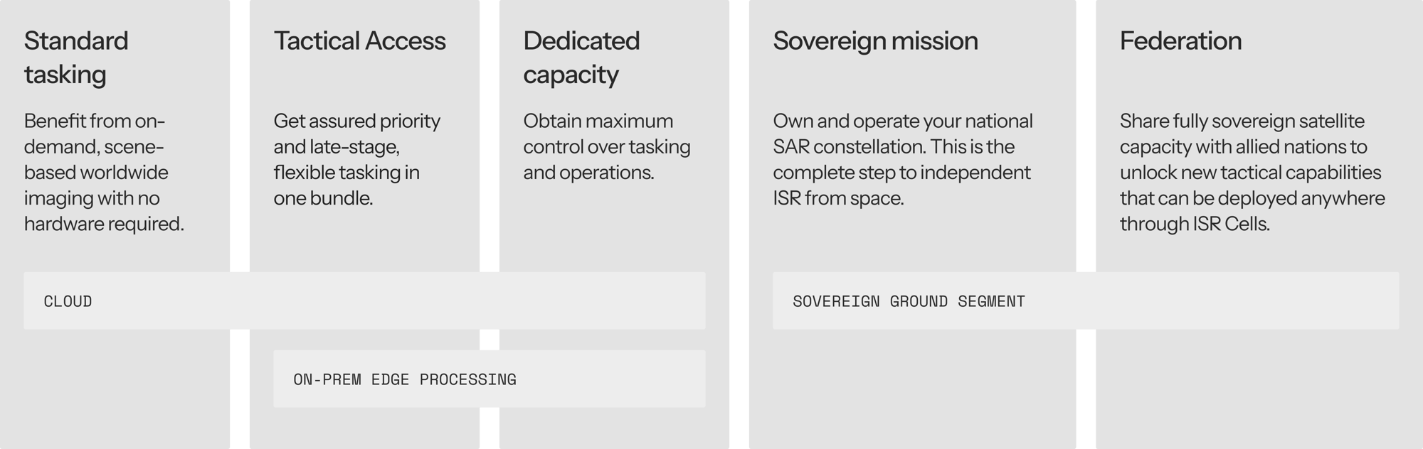
The table below shows five ways to work with ICEYE. Each is a complete offering in its own right, and customers can combine them as needs evolve. Investments carry forward: hardware, trained analysts, and workflows from one option support the next. Tasking authority stays with the customer at every level. Sovereign systems available within 12 months of contract signature, a timeline that legacy programs measure in years.

ICEYE_table_1

scalable capability

Match ISR capabilities to your needs

What defense organizations need from space-based ISR varies, and changes over time. A coast guard might start by ordering images from ICEYE’s satellite fleet as needed. A national intelligence service may require guaranteed access during an active operation, while a defense ministry could choose to own and operate its own satellites. ICEYE supports all of these use cases and enables customers to move flexibly between them.

From images to intelligence

What SAR data actually contains

A SAR image is not just a picture. Each pixel carries information about the strength and phase of the reflected radar signal, which reveals surface texture, material properties, structure, and motion.

This means SAR data can show a metal vehicle hidden under tree cover, identify recent activity at an airfield at night, or detect a vessel that has switched off its transponder. Advanced techniques like Coherent Change Detection compare two images of the same location to reveal changes invisible to the human eye, such as footprints in soil or freshly dug positions.

Related blogs

ICEYE BlogAugust 20, 202611 min read

Beyond the Echo - Reducing latency with smarter planning

ICEYE BlogAugust 5, 202611 min read

Is Tactical Access right for your organization?

ICEYE BlogJune 22, 20265 min read

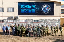
What Danish military training revealed about SAR and decoys

ICEYE BlogJune 3, 202613 min read

Beyond the Echo - Latency: The Ability to Act