Contact us
Get in touch with our experts to find out the possibilities daily truth data holds for your organization.


Undersea cables and pipelines carry the traffic that keeps power grids, financial systems, and communications running. Recently, deliberate damage to this infrastructure has become a recurring concern across military and civilian sectors alike.
This article looks at how persistent monitoring with SAR (Synthetic Aperture Radar) satellites helps address this threat.
The cable and pipeline routes are often well documented. This makes them vulnerable: a vessel can purposefully drag its anchor along the path of the cable, eventually causing it to break. Catching this requires persistent and systematic monitoring of the cable areas.
The challenges lie in the limitations of available technologies. Routine vessel monitoring is done via Automatic Identification System (AIS), which most non-military vessels are required to use. The problem is that it can simply be turned off. Optical satellites provide another option, but they depend on light, which makes them highly unreliable in the Northern weather.
Spotting the threat means revisiting the same area frequently enough to see how vessels move over time, and to respond to a developing incident before it escalates.
This is where ICEYE's SAR satellites come in. They work reliably regardless of weather or light conditions, making them a key tool in maritime operations.
SAR doesn’t penetrate water and can’t see the cables themselves, but it doesn’t need to. Because the routes are known, the task is to watch the surface traffic above them and spot vessels behaving out of the ordinary. This requires knowing which types of ships usually move through an area, and how. Against that baseline warning signs stand out: a vessel stopping over a cable route, moving unusually slowly along it, or switching off its AIS.
But the technology itself only solves the issue of visibility. What about persistence?
Here, the size of ICEYE's SAR fleet, the largest in the world, has a very practical consequence: a high number of satellite passes per day. This frequent coverage can then be combined with our Tactical Access service, which gives you the ability to reserve guaranteed passes over your areas of interest in advance.
Of course, priorities can change fast in the days after you've made your reservation. Tactical Access leaves room for that: you can adjust your tasking up to 40 minutes before the satellite passes your location, and often even closer to the pass. This means you can still decide whether you need, for example, a wide-area Scan or a focused collection of high-resolution images. For the most unexpected turns of events, same-day urgent tasking is also available. In practice, this means going into each day with guaranteed coverage, while keeping the freedom to react as situations unfold.
How well the decision loop supports a fast response is greatly affected by how long you'll have to wait until you actually receive your imagery. With Tactical Access, the exact time depends on the delivery setup: cloud delivery typically takes approximately an hour, while on-site infrastructure can bring this down to 20 minutes, near real-time intelligence.
Additionally, our AI analysis tool Object Detection & Identification (currently available for the high-detail Dwell and Spot family of imaging modes) can speed up the process even further by identifying vessel types and details directly from the satellite images.
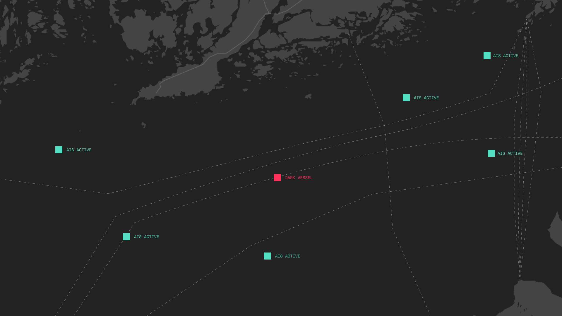
As great a tool as SAR is for maritime surveillance, it works even better as part of a multi-modal approach. AIS on its own is a weak safeguard, since vessels can simply switch it off. Still, a vessel that suddenly stops transmitting is a warning sign in itself, and comparing AIS data with satellite imagery shows where to look: if there are more ships in an area than there are AIS signals, we know which vessels to take a closer look at, checking for any abnormal behaviour such as slow movement.
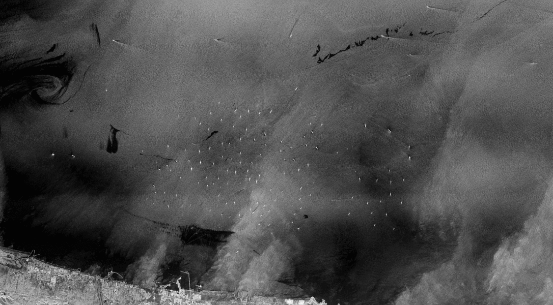
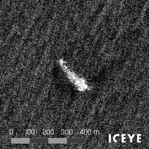
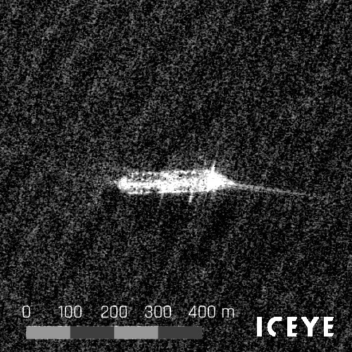
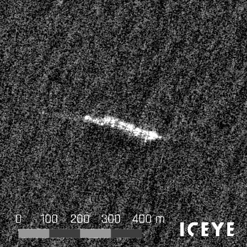
See example dark vessels
When the automatic identification system (AIS) and ICEYE SAR satellite data are combined, dark and collaborative vessels can be detected. The annotated vessels have been detected via SAR but were not visible to AIS receivers.
The logic follows a method known as Tip & Cue: starting from wide-area coverage and moving closer with higher-resolution images once something unusual is discovered. In this process, cross-referencing data sources is key to confirming observations quickly.
Radio frequency (RF) monitoring from space adds another layer to cross-reference, picking up a vessel's electronic emissions even when its AIS is off. Combined with SAR, it is one of the most effective ways to track these vessels from space.
Speed matters at every step of this chain. A suspicious vessel spotted in imagery that is twelve hours old may already be long gone. For the information to be useful, both data collection and delivery need to work fast enough to trigger a response while it still counts.
The undersea cables in Northern Europe are directly connected to the critical infrastructure that keeps countries running, and the risk to them is not theoretical. At least 11 undersea cables in the Baltic Sea were damaged between October 2023 and January 2025, and incidents have continued since. The frequency and concentration of incidents led NATO to launch Baltic Sentry in January 2025, a dedicated mission to protect critical undersea infrastructure in the region.
SAR is a central part of securing these assets. Getting it right requires more than the satellites themselves: persistent coverage, frequency, delivery speed, and integration with other data sources all matter. ICEYE brings these together to help protect the infrastructure the region depends on.
Are you interested in improving your maritime defense and intelligence capabilities? Contact us, we'll help you map out the options.

07 October 2026

23 September 2026
21 September 2026