Contact us
Get in touch with our experts to find out the possibilities daily truth data holds for your organization.


Persistent, all-weather intelligence. Proven in the world’s most challenging conflict zones.
ICEYE’s SAR satellites see through cloud and darkness. Allied forces can follow what’s happening on land and at sea in near real-time, day and night.
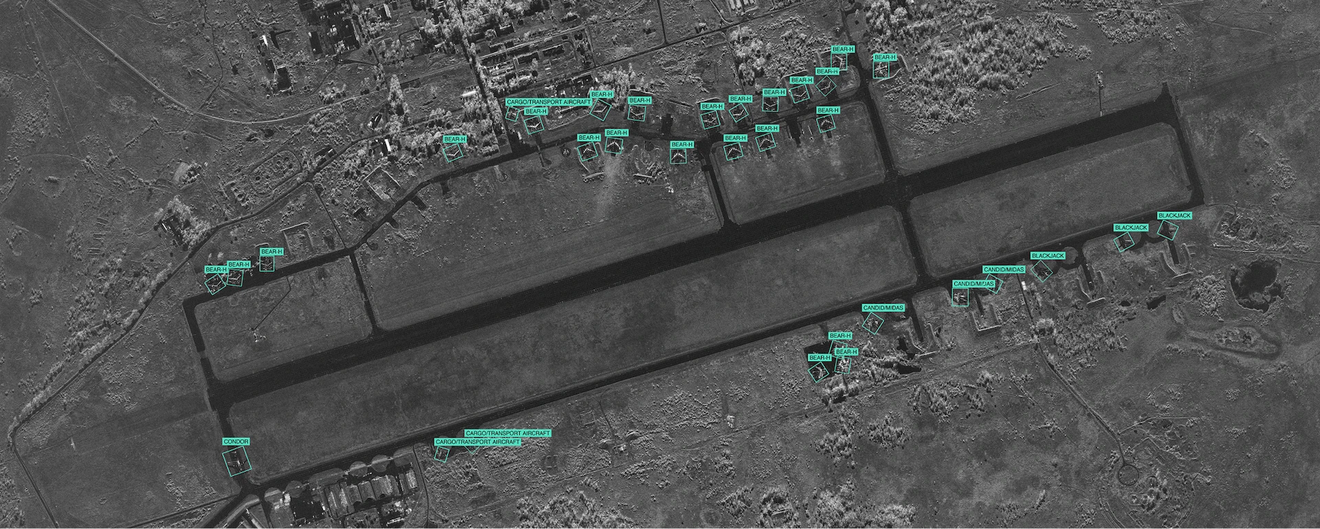
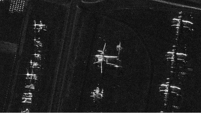
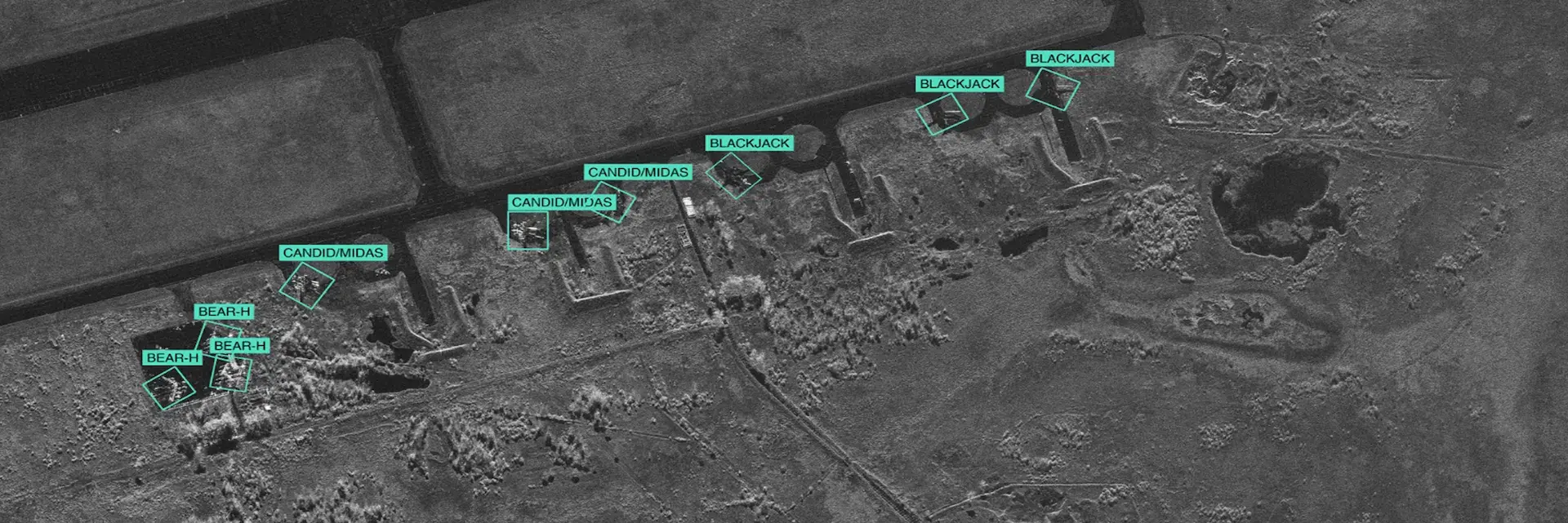
Military and missile sites. Repeated imagery of the same site shows what has changed: new vehicles, construction, movement. Persistent watch helps catch activity before it escalates.
Border activity. Following buildups and movement over days and weeks, so unusual patterns stand out.
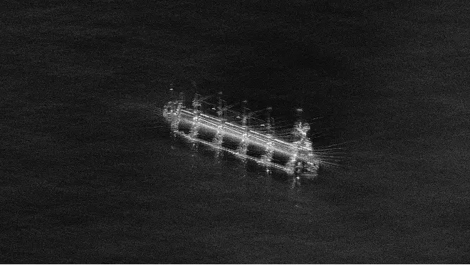
Dark vessels. Comparing SAR detections against AIS reveals ships that are present but not broadcasting.
Read more →
Undersea infrastructure. Watching cable and pipeline routes for vessels that slow down, stop, or loiter where they shouldn’t.
Read more →
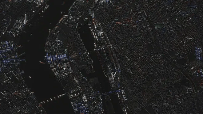
Combining sources. SAR flags what’s unusual over a wide area. Optical satellites, drones, and other sensors then take a closer look.

7 Allied & partner sovereign programs

As little as 20 minutes from capture to delivery, depending on setup

Hourly Revisit over priority areas

ICEYE operates the world’s largest SAR satellite constellation. Founded in Finland, with production in Poland. ITAR-free: not subject to US arms export restrictions.
Find out how ICEYE can support your mission.