Contact us
Get in touch with our experts to find out the possibilities daily truth data holds for your organization.


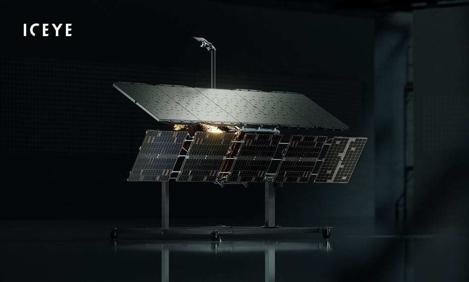
The sharpest commercial SAR satellite ever built. Finer detail means better accuracy and more intelligence.

You get more from the same constellation by collecting 30% more images on every pass.

An on-board AI engine lets Gen5 keep gaining capability in orbit, from smarter data handling to autonomous operations.

With faster orbit raising, the satellite spends its life taking images. Repeatable ground tracks for reliable change detection.

Rapid delivery of images with downlink speeds of up to 1 Gbps.

Monitor wide areas or zoom in on a single site at very high resolution, from one satellite.
Gen5 introduces a full 1.8 GHz imaging bandwidth, sharpening ground resolution to as fine as 11 cm (subject to ITU regulations) for sovereign nations, and 16 cm for commercial customers. Analysts can classify and identify smaller objects with greater confidence, in any weather, day or night.
Every existing imaging mode remains available exactly as before. The new capability adds to the same catalog, tasked and delivered through the same ICEYE system.

More images per pass means more intelligence per satellite.
Improved agility shrinks the gap between consecutive images by more than 30%. Combined with double the imaging time per orbit, each Gen5 pass collects more targets and delivers more intelligence per satellite.
Gen5 carries an on-board AI engine built for the operations of tomorrow. Gen5 is designed to keep gaining capability in orbit, from smarter data handling to autonomous object detection and classification.
The satellite spends its life taking images, not moving between orbits.
Precise orbit control enables the satellite to pass over the same location from the same angle repeatedly. Images line up exactly, so even small changes on the ground stand out.
Monitor vast areas of up to 120,000 km², or zoom in to a 5 x 5 km scene with ground resolution as fine as 11 cm (subject to ITU regulations). From broad maritime surveillance to site-level change detection, Gen5 covers the full spectrum of mission needs with a single satellite.
Gen5 isn't a standalone satellite. It's part of a complete system spanning space, ground, connectivity, software, and services, delivered as one.
That system never stands still: ICEYE launches a new satellite generation roughly every 18 months, and quarterly IceOS releases push new capability across everything in between, including satellites already in orbit. Choose Gen5 and your capability grows over time instead of aging.
MISSIONS