Contact us
Get in touch with our experts to find out the possibilities daily truth data holds for your organization.


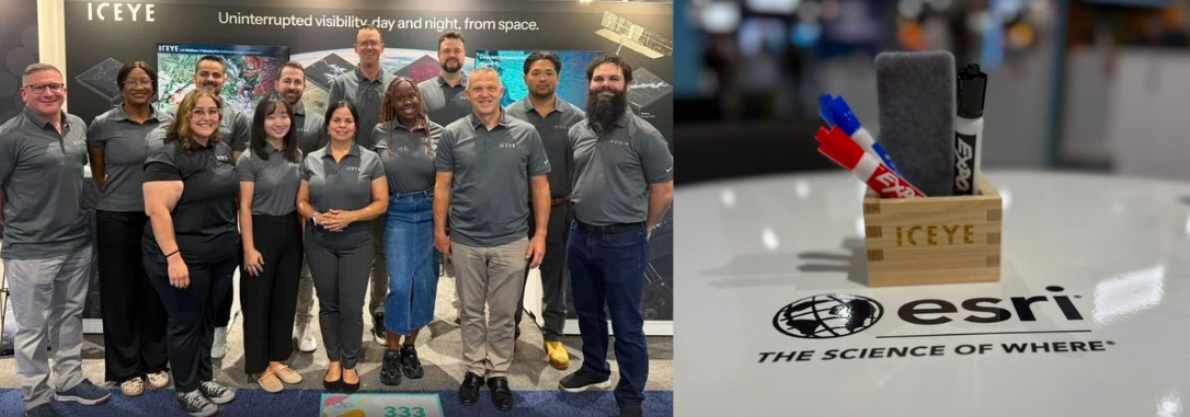
The Esri User Conference is a pinnacle event for the global geospatial community, and this year’s gathering in San Diego was no exception. With 20,000 professionals converging from across the globe, the energy on the show floor was palpable. For the Solutions team at ICEYE, it was an incredible opportunity to connect with partners and customers who rely on our SAR-derived data to make critical, real-world decisions. Here’s a peak at our highlights:
The week began with a powerful moment at the plenary session. In front of more than 18,000 live attendees, Jamaica's Prime Minister, Dr. Andrew Holness, accepted the Esri President's Award for the country's leadership in GIS. During his remarks he specifically recognized ICEYE for our role in the response to Hurricane Melissa, highlighting how we shared data through the Esri Disaster Response Program to help assessment teams move from months of recovery planning to days. Watch the clip at the 7:30 mark.
.png?width=2240&height=1260&name=Jamaican%20Prime%20Minister%20(1).png)
Throughout the week we had the privilege of showcasing how our technology addresses some of the most complex challenges on the ground today.
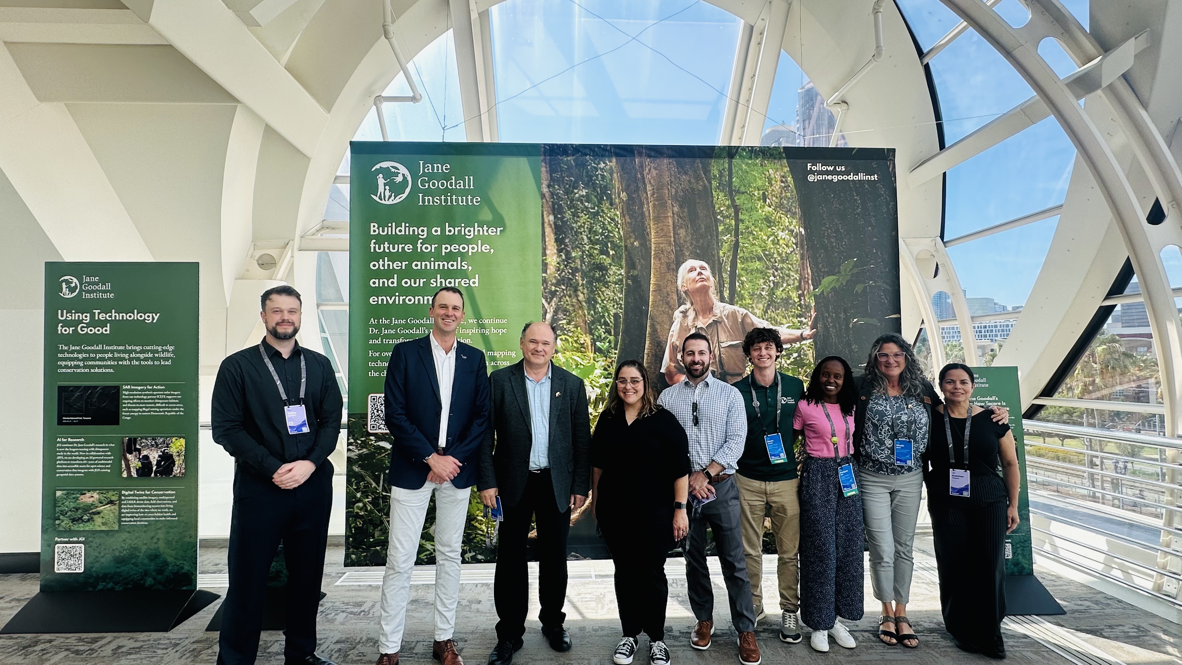
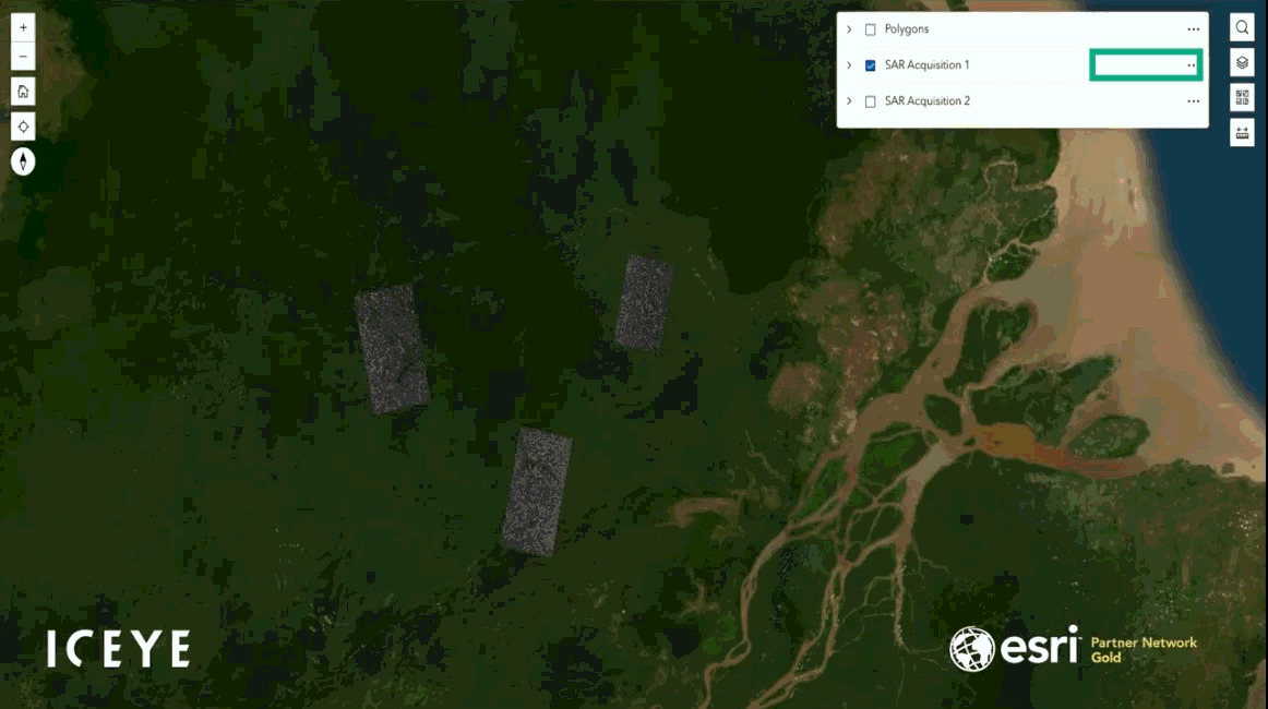
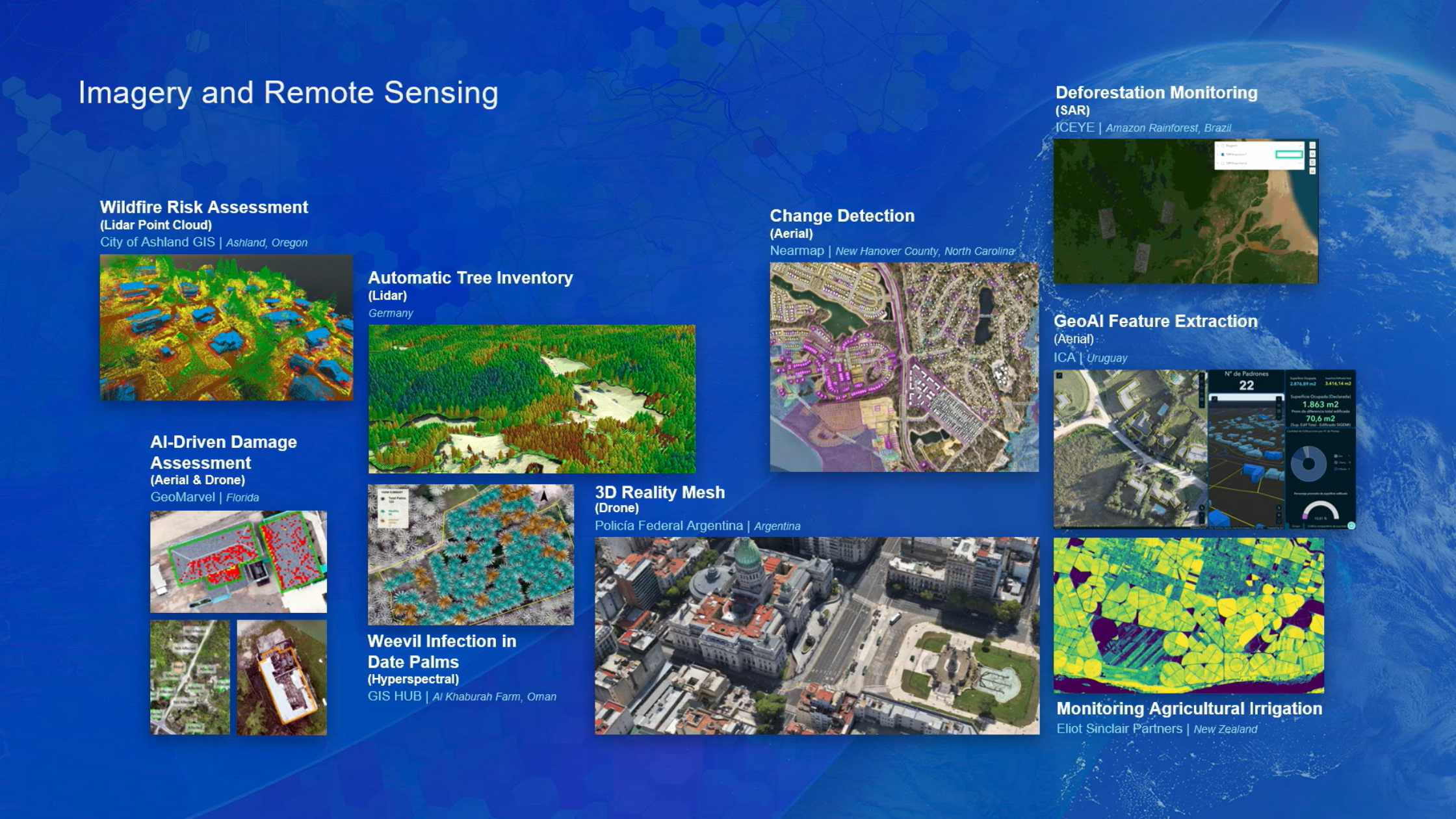
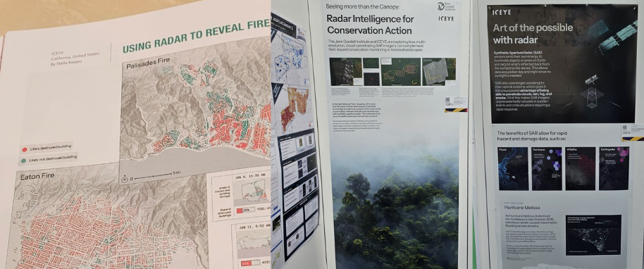
Our work with The Jane Goodall Institute was featured on Jack Dangermond’s plenary slide, a display in the Convention Center, and in the Map Gallery, underscoring our commitment to deforestation monitoring. Our own Mike Bennett sat down with the Institute to discuss how these challenges are being tackled in the field, read the discussion here.
At the Safety and Security Summit, Alicia Edwards from Jamaica’s National Spatial Data Management Branch shared a compelling testimonial on the impact of satellite data in emergency response. It was a poignant reminder of why we do what we do: when every hour matters, reliable imagery makes the difference. Learn more about our work with Jamaica here. At this event, we were also recognised for our contribution during the Venezuelan earthquake.
The theme of the week was clear: collaboration is key. Whether at our booth, in the Map Gallery, or during our hosted events: including Japan Night with partners Tokio Marine and NIED, and our Booth’s Happy Hour (featuring ICEYE Masu cups) - we saw a great turn out from the GIS community.
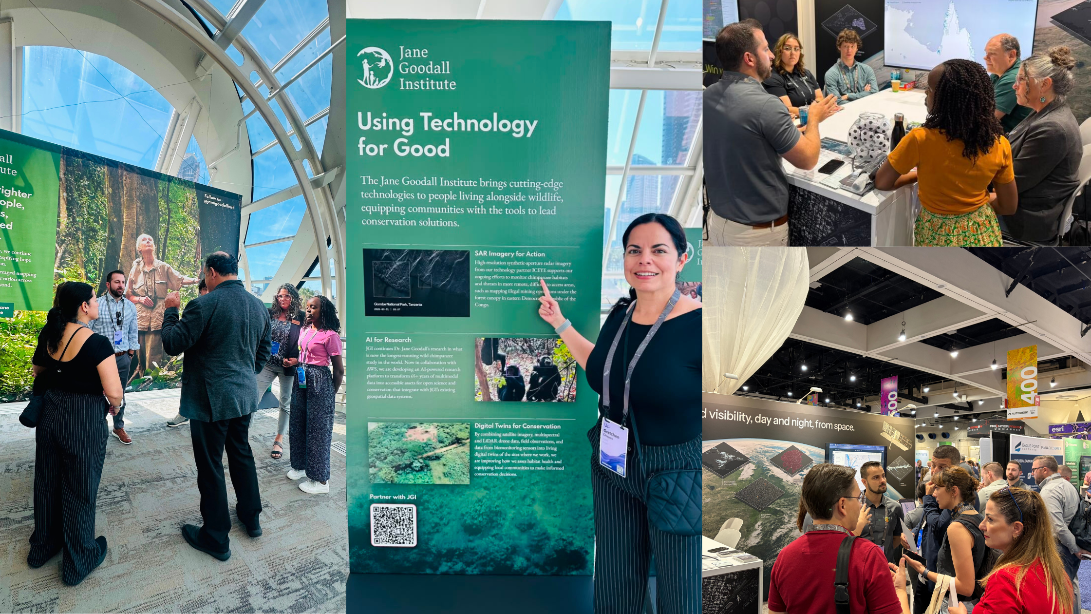
We loved discussing how our solutions data integrates directly with ArcGIS. With 95% of our clients utilizing ArcGIS, our data is becoming a seamless part of emergency operations centers worldwide. For those who couldn't make it to the show floor, catch Andy Read’s conversation on Autonomy Global Network at the 36-minute mark.
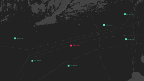
We also appreciated our features in the Esri Map Book, with our LA Wildfire Response featured on page 44, and our Map Gallery entries, still viewable in the Virtual Gallery here. The ICEYE Data team also had features during the Defense and Intelligence sessions, integrating SAR into monitoring ports of interest.
While our team enjoyed the conference, our satellites never stopped. During the week of the UC we continued to monitor active events, from wildfires across Colorado, Idaho, and British Columbia to significant flooding in the Ohio Valley, Manitoba, and Chile. We also partnered with KTSAT in South Korea, announced an expansion of our wildfire intelligence product into Canada, and announced pilot projects with Iberdrola in Spain.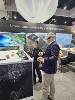
Esri’s updates showed us new ways to integrate and use our Solutions. We were energized by the new tools we explored at the conference, including ArcGIS Velocity in ArcGIS Enterprise, as a new way to get alerts from us, and the potential of integrating our Disaster Intelligence into AI-driven workflows such as Copilot in ArcGIS for Teams. We appreciated hearing our Solution partners speak during the week, including Eagle Technology at the GIS Leadership Summit, and Cotality at the partner theater. Thank you to everyone who stopped by our booth and joined our sessions - in particular our VR headset was a hit! We are already looking forward to continuing these conversations as we support your missions with our insights.

15 October 2026
12 October 2026

07 October 2026