Contact us
Get in touch with our experts to find out the possibilities daily truth data holds for your organization.


Dark vessels – those that conceal or manipulate their location data – present a growing challenge for maritime defense. Wide sea areas and the limitations of conventional tracking technology give these vessels room to operate undetected, whether it’s for military purposes, illegal fishing, smuggling, or oil transshipment.
In northern European waters, the problem is compounded. The region contains some of the most strategically significant waters in the world, such as the GIUK gap (the ocean area between Greenland, Iceland, and the UK) and the Danish Straits. At the same time, persistent cloud cover and months of polar night make optical surveillance unreliable for much of the year.
In this article, we look at how ICEYE’s SAR satellites change this equation. By detecting vessels regardless of weather or daylight, defense organizations can act quickly based on reliable intelligence.
Most non-military vessels at sea are required to use an Automatic identification system (AIS) that signals the ship’s location to authorities and others around it. The problem is that AIS was never designed to be a security system, but a collision-avoidance tool. This makes it exploitable: it can simply be turned off. Sometimes, this is a result of malfunction or mistake. More often, it’s a deliberate criminal tactic.
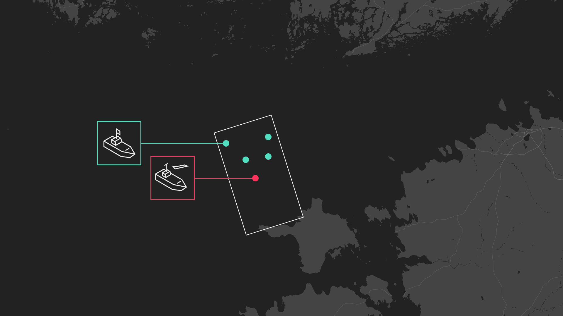
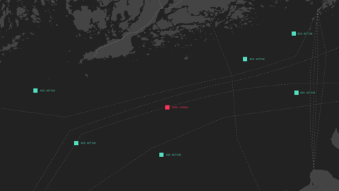
When AIS goes silent, conventional tracking loses the vessel – but satellites can still see them. Analysts can then spot dark vessels in an area by comparing the total number of vessels to the number of broadcast AIS signals.
The English rainfall or Norwegian snowstorms can ruin more than nice walks outside. The northern weather can make it impossible for optical satellites – which need light to function – to output proper imagery.
A typical workflow for maritime defense is called Tip & Cue – taking a wide shot of an area with a SAR satellite and then using an optical one to zoom in for a detailed view. However, the Northern latitudes can disrupt this strategy too. ICEYE’s SAR (Synthetic Aperture Radar) satellites don’t have this issue at all. They work with radar pulses, so even the harsh northern conditions do not affect their output.
Additionally, our Detect & Classify, an AI-driven analysis tool that identifies vessels directly from SAR imagery, introduces even greater efficiency. The tool tells the analysts exactly what they’re looking at: ships, their approximate size and type, and whether they match known vessel profiles. This reduces the need for optical confirmation. Currently, Detect & Classify works with the close-up Dwell imaging modes – and is coming soon for the wide Scan and Strip modes.
How it works
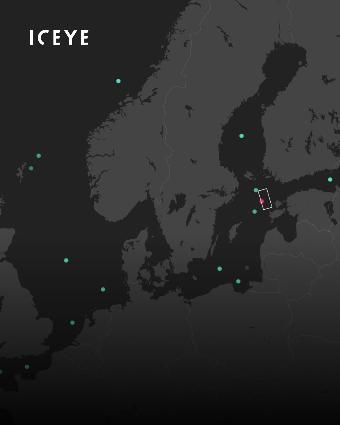
Our SAR satellite captures a maritime area, spotting a vessel with no matching signal.
For organisations beginning to explore SAR-based maritime surveillance, standard tasking provides a flexible point of entry to the ICEYE constellation. Imagery is ordered when the need arises and the tasking queue operates on a first come, first served basis.
For governments looking for near real-time intelligence capabilities, Tactical Access is the logical next step. An on-demand service, it allows defense organizations to reserve specific satellite passes over an area. Until up to 40 minutes before the granted pass, they can change parameters such as imaging modes and whether they want to capture imagery of various locations simultaneously. The delivery time can be as short as under one hour.
For dark vessel detection, the effects are significant. You get to choose exactly where, when and what you want to see with a guaranteed, priority spot in the satellite queue. It’s both an intelligence and operational tool: reacting to fast-changing situations becomes easier when you can adjust your order at short notice.
The vessels you are tracking can move between each satellite pass. ICEYE’s SAR constellation is the largest in the world, which means more imaging opportunities to stay on top of the situation.
For Northern waters, SAR is the only intelligence solution that remains unaffected by the region's challenging climate and lack of light. This matters because much of the activity SAR is designed to catch, illegal boarding, smuggling, unauthorized transfers, deliberately exploits the cover of darkness and local fishing traffic to stay hidden. By combining SAR with either your own additional data sources or ICEYE's flexibly scalable offering, you are equipped to respond to dark vessel threats at any time of year, in any conditions.
Whether you need to scan a vast stretch of ocean or identify a specific suspicious vessel without waiting for clear skies, the tools exist and are ready to shine a light on the horizon.
Planning an upgrade to your maritime defense and intelligence capabilities? Contact us, we'll help you map out the options.

15 October 2026
12 October 2026

07 October 2026