Contact us
Get in touch with our experts to find out the possibilities daily truth data holds for your organization.
Use cases
ICEYE's actionable SAR satellite data has applications for various fields and industries both for commercial gain and non-commercial interests.
Use cases
Know what is happening at your borders and beyond.
Use cases
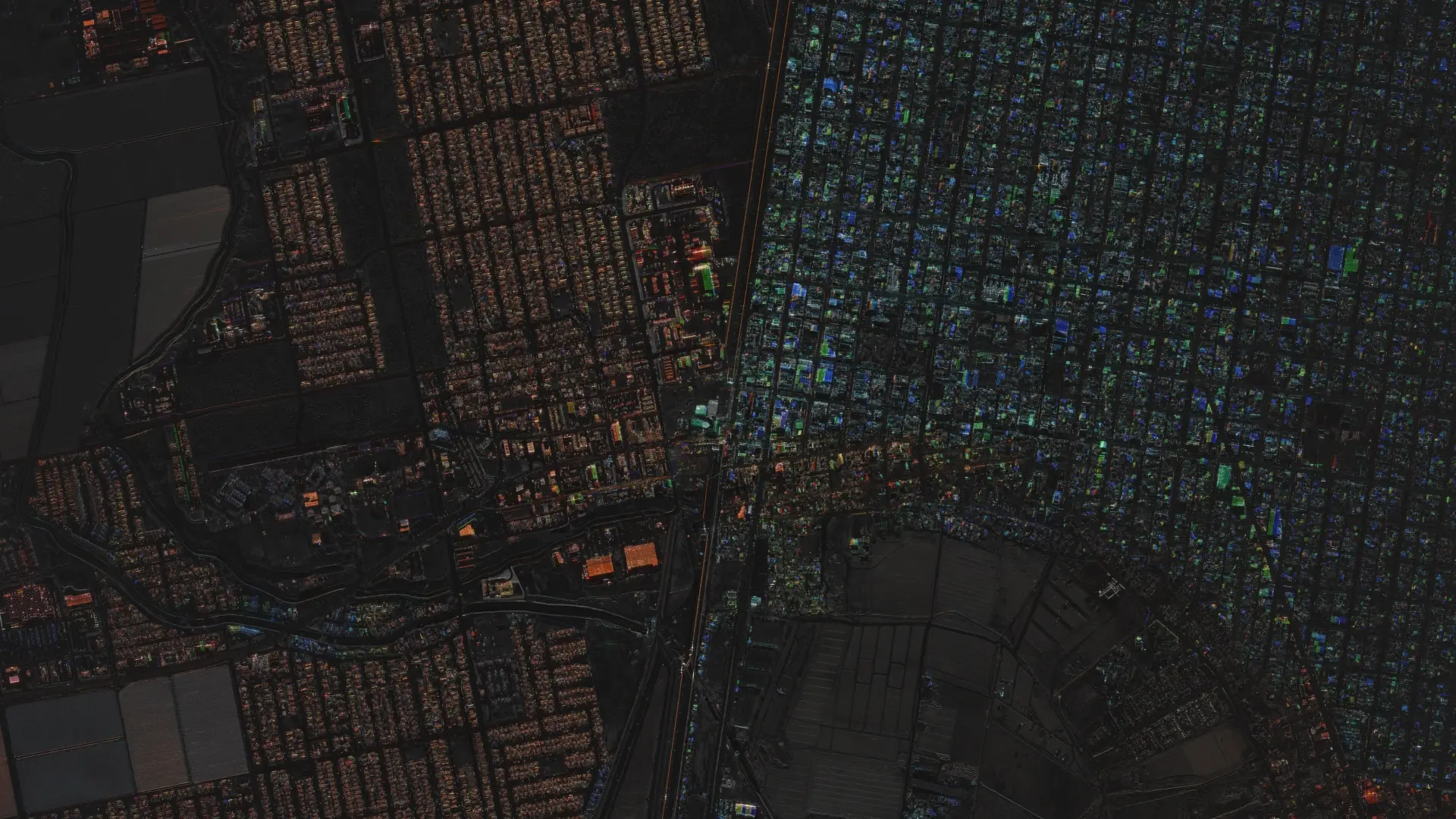
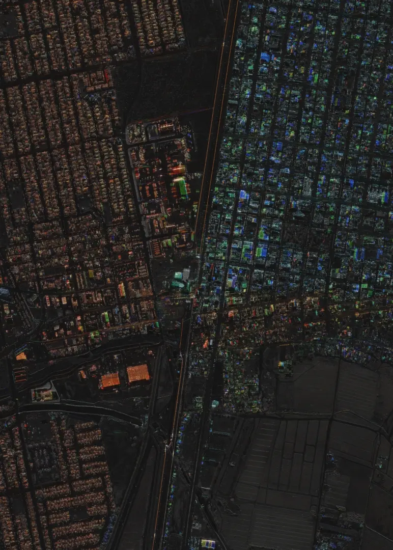
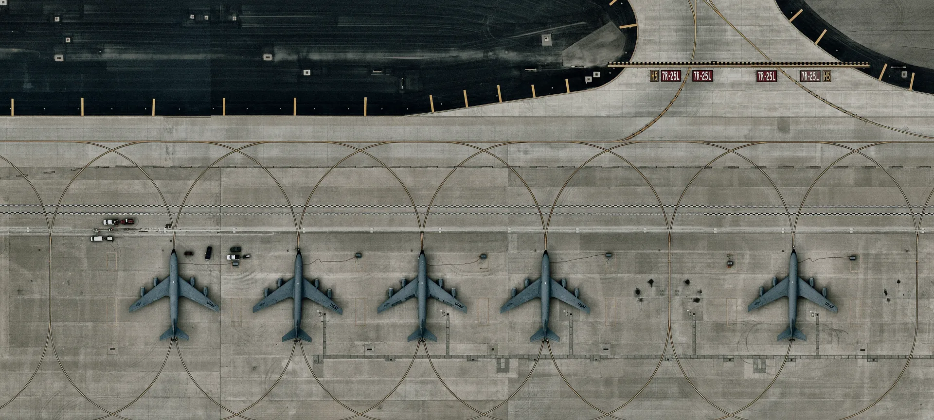
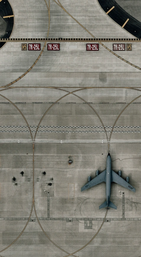
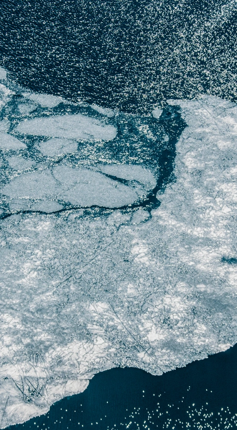
Watch strategic sites and detect changes.

Use cases
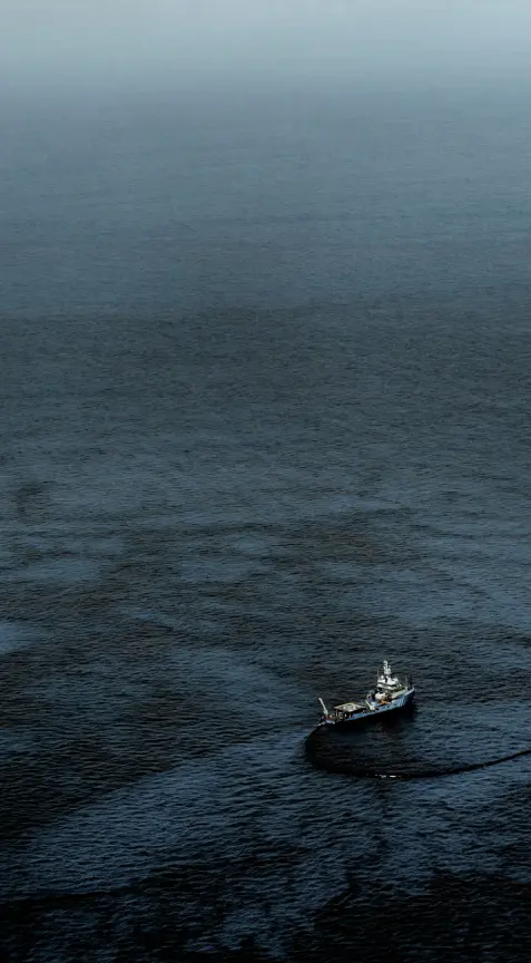
Detect and respond to marine oil spills & oil seeps.
Use cases
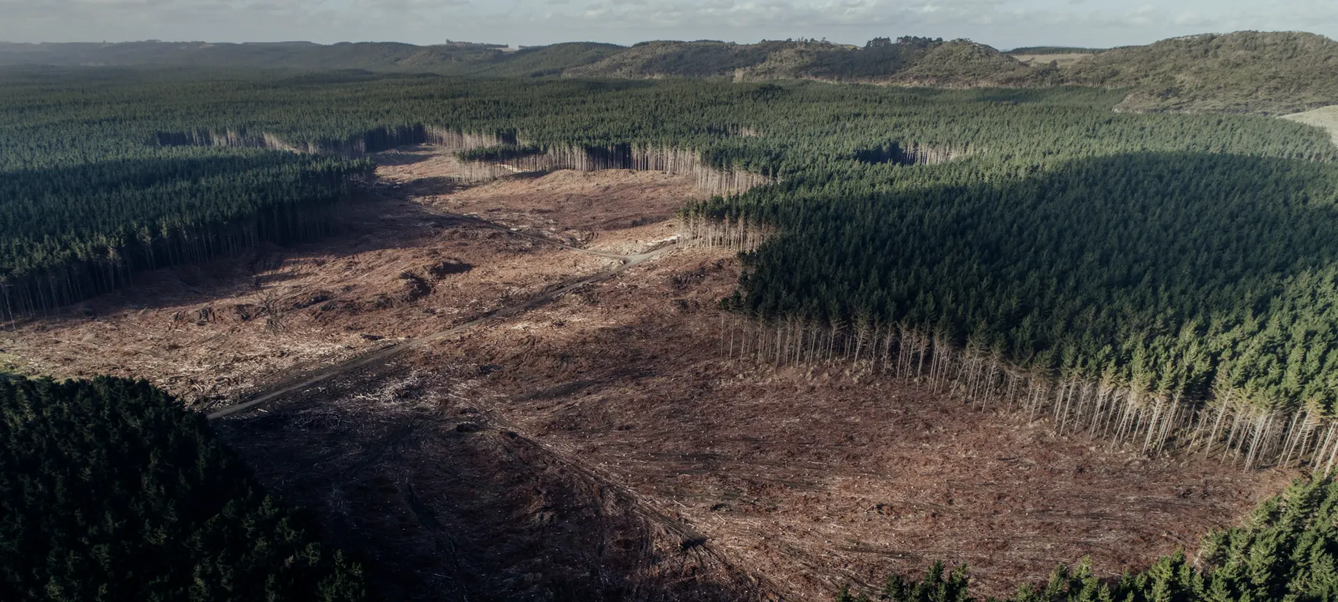
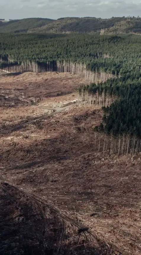
Monitor forests and identify activities.


Use cases
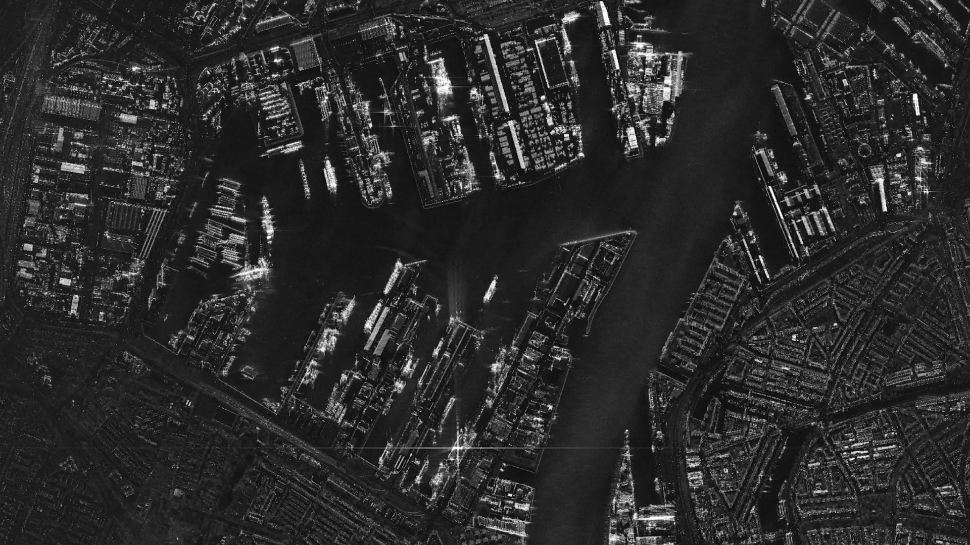
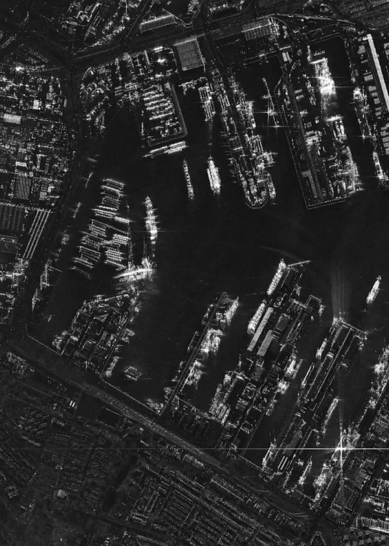
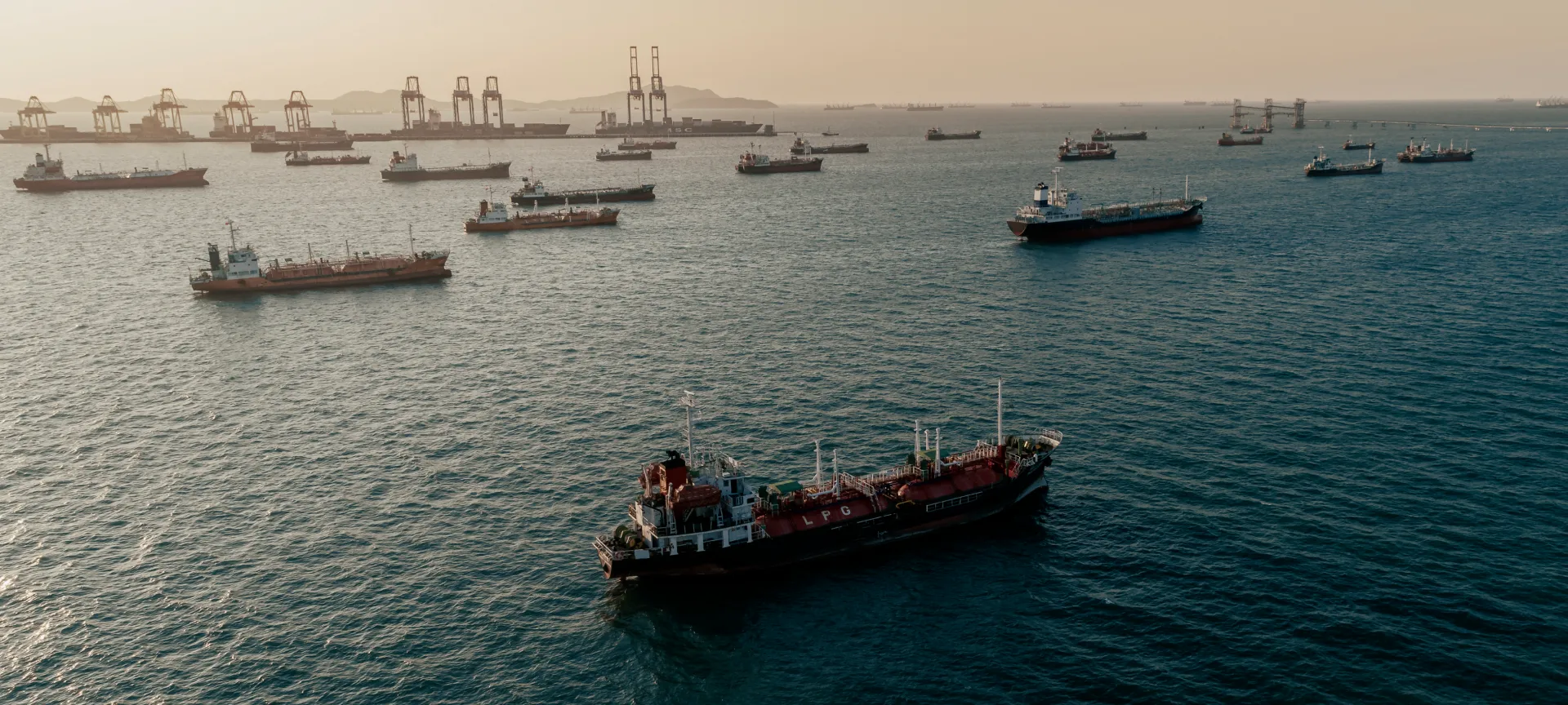
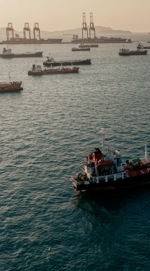
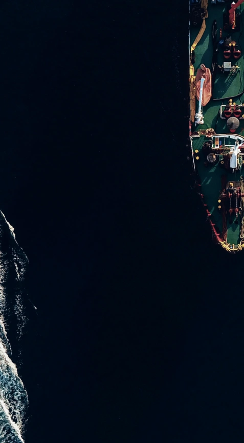
Detect suspicious maritime activities.

See and react to changes on Earth in near real-time
Know what is happening at your borders and beyond.
Watch strategic sites and detect changes.
Detect suspicious maritime activities.
Monitor forests and identify activities.