Contact us
Get in touch with our experts to find out the possibilities daily truth data holds for your organization.

ICEYE Flood Solutions

Stephen Lathrope & Shay Strong / ICEYE
ICEYE bridges the gap between information and actionable data by combining imagery with multiple auxiliary information sources to create fully operationalized flood hazard insights.
We provide near real-time data for flood depth, extent, and duration, within hours of a given flood peak, empowering our clients to calculate losses, manage their risks, and carry out disaster response efforts more effectively.
Our SAR technology allows our clients to see through darkness and clouds, offering a reliable and consistent method of measuring and reporting flood hazard data before, during, and after the occurrence of a flood event.
Prepare before the water arrives and prioritize resources in at-risk areas.
- Rolling 24-hour forecasts from ICEYE’s proprietary flood forecast tool
- Continuous global monitoring by our meteorology team to initiate SAR satellite tasking when flood risk thresholds are met
- Ideal for rapid situational awareness, proactive resource positioning, and underwriting embargoes
Track water movement to support ongoing response efforts.
- Updated flood extent every 6 hours with SAR-based evidence
- See event evolution through regular updates
- Granular observation layers delivered via API or web-based applications
- Compatible data with GIS and exposure management platforms, as well as claims and underwriting systems
Replace legacy flood modeling with satellite-based insights to optimize your event response and quantify damage with confidence.
- Maximum extent and depth mapped at the building level
- Synthesizes SAR, terrain, gauge, and social data
- Actionable insights for triage, loss sizing, and early payouts
- Seamlessly integrated into claims and risk systems


.png?)
Paul Sowden & Stephanie Powell / ICEYE

March 2026
Download ICEYE's analysis on flooding from remnants of Typhoon Halong.

March 2026
Download ICEYE's analysis on the severe flooding and wind damage from Ex-Tropical Cyclone Alfred

November 2024
Download ICEYE's analysis on the severe flash flooding from the DANA Storm in November 2024.
.png?)

Insurers' guide
Seamlessly integrating ICEYE’s high-resolution flood data into your workflows starts with choosing the right pathway. Through ICEYE Solutions Suite (ISS), you can access flood deliverables and insights in the way that best matches your team’s needs.
Get started instantly without setup - use a ready-to-go application to browse events, download deliverables, and visualize event footprints. This is ideal for fast adoption or as a bridge to full integration.
Automate workflows and build custom solutions - leverage programmatic access to query deliverables, ingest data at scale, and embed ICEYE data directly into your own systems. With the API, you have full control and limitless flexibility to extend functionality and innovate on your own terms.
Access ICEYE data where you already work - connect through trusted partner platforms. Choose between ICEYE-managed integrations or partner-built solutions to ensure ICEYE data is available where you need it most.
Product
Supercharge your event response for the 2025 hurricane season with the earliest view of observed wind and flood damage data across the full extent of a hurricane.

Product
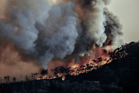
Respond to wildfires in innovative ways by leveraging ICEYE’s unique persistent monitoring capabilities.
Beta
Embrace a proactive approach with ICEYE’s actionable insights before, during and after an earthquake.
