Contact us
Get in touch with our experts to find out the possibilities daily truth data holds for your organization.

15 December 2025
ICEYE Flood Solutions will provide full flood extent analysis throughout the entire flood cycle.
Read more about Severn Trent and ICEYE Pioneer Satellite-Based Flood and Wastewater Monitoring in the UK →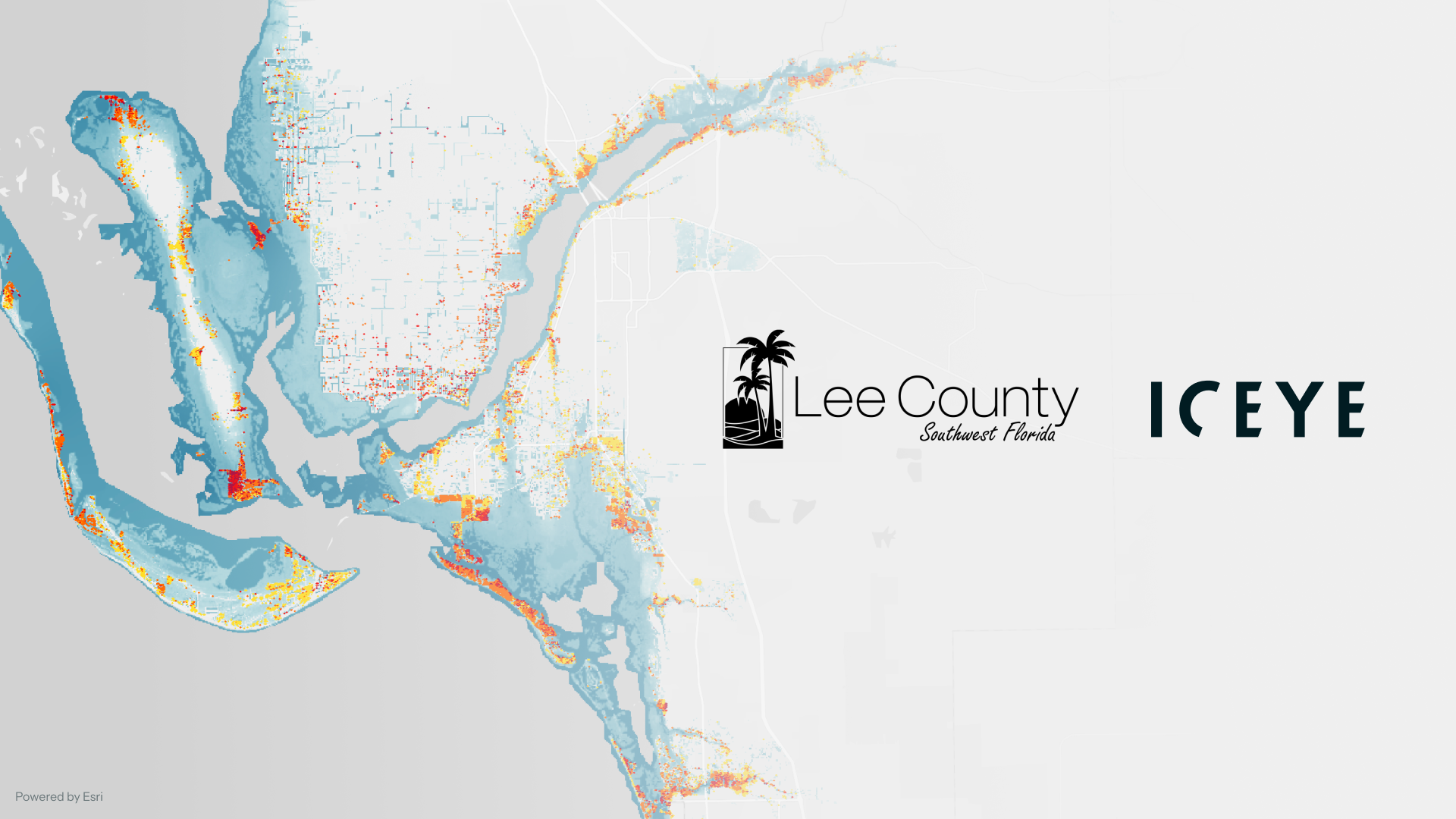
11 December 2025
ICEYE renewed its agreement with Lee County Emergency Management (LCEM) to continue enhancing the...
Read more about Lee County renews partnership with ICEYE after satellite data guides response to major hurricanes →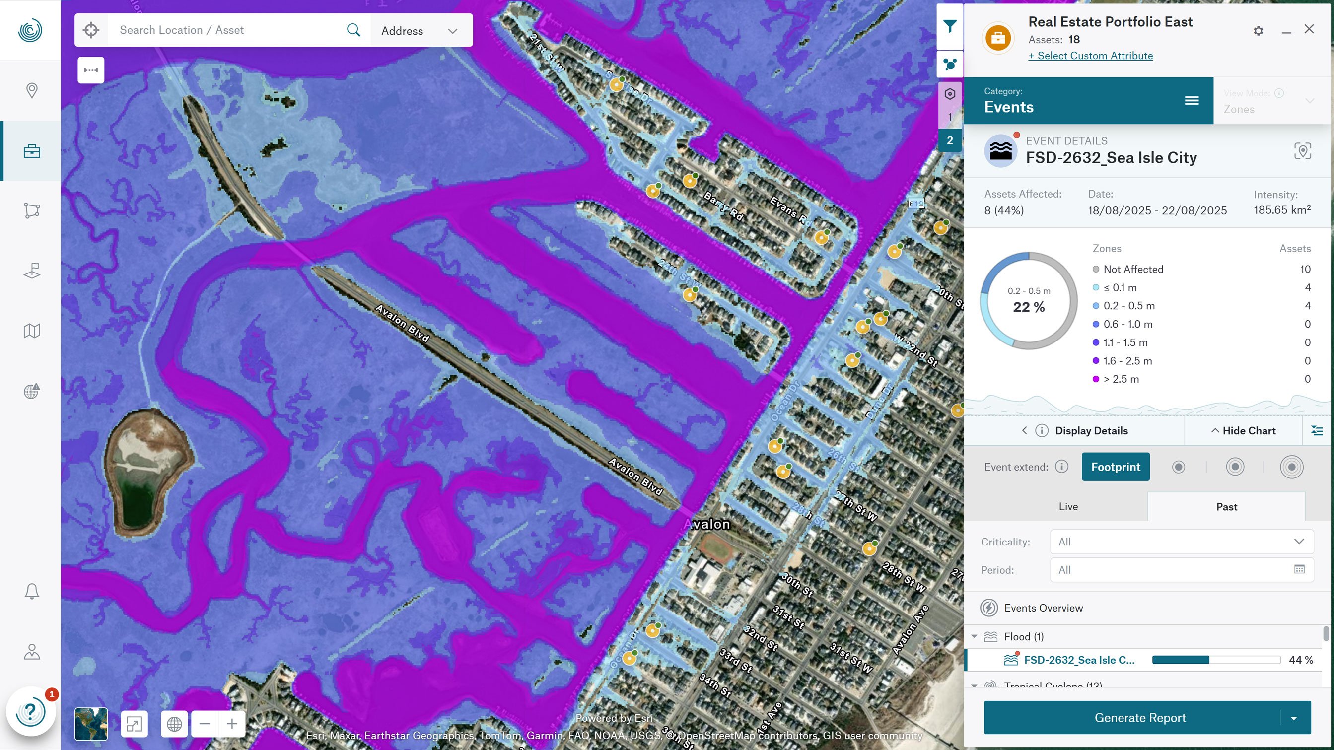
09 December 2025
CEYE and Munich Re announced a global partnership to bring ICEYE’s flood intelligence into the...
Read more about ICEYE and Risk Management Partners Announce Strategic Global Partnership to Expand Access to Natural Catastrophe Solutions →
05 December 2025
ICEYE has secured new financing, led by General Catalyst with broad pan-European participation.
Read more about ICEYE and General Catalyst partner to redefine space-based intelligence in Europe →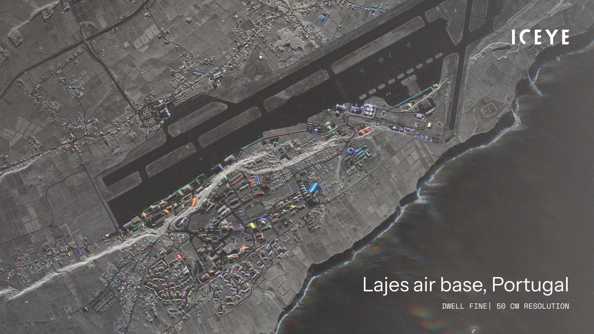
02 December 2025
ICEYE and the Portuguese Air Force (Força Aérea Portuguesa) have signed a contract for the direct...
Read more about ICEYE and Portuguese Air Force announce first direct satellite procurement →
29 November 2025
ICEYE continues to expand its world’s largest SAR constellation with five new satellites, enhancing...
Read more about ICEYE launches five new satellites, supporting additional customer missions →
27 November 2025
Partnership brings real-time hazard intelligence to emergency responders, utility and energy...
Read more about ICEYE and Esri Australia (through Boustead Geospatial) partner to deliver unprecedented hazard intelligence across Australia and Southeast Asia →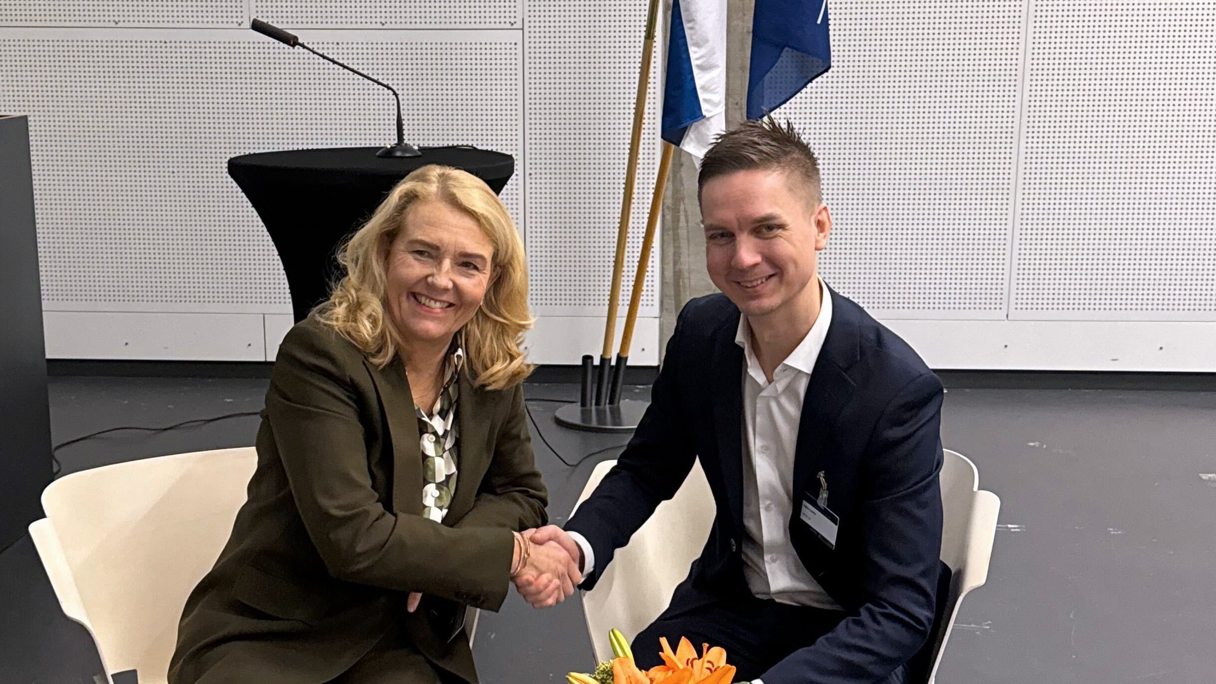
20 November 2025
Signed at NATO Arctic Space Forum, the LOI targets potential ICEYE–SSC synergies across mission...
Read more about ICEYE and SSC sign Letter of Intent to strengthen Nordic and NATO space-based capabilities →
17 November 2025
Magdalena brings over two decades of international financial leadership across global companies...
Read more about ICEYE appoints Magdalena Bartoś as Chief Financial Officer →
07 November 2025
Rheinmetall and ICEYE have completed the establishment of their joint venture, Rheinmetall ICEYE...
Read more about Rheinmetall and ICEYE establish joint venture in Neuss →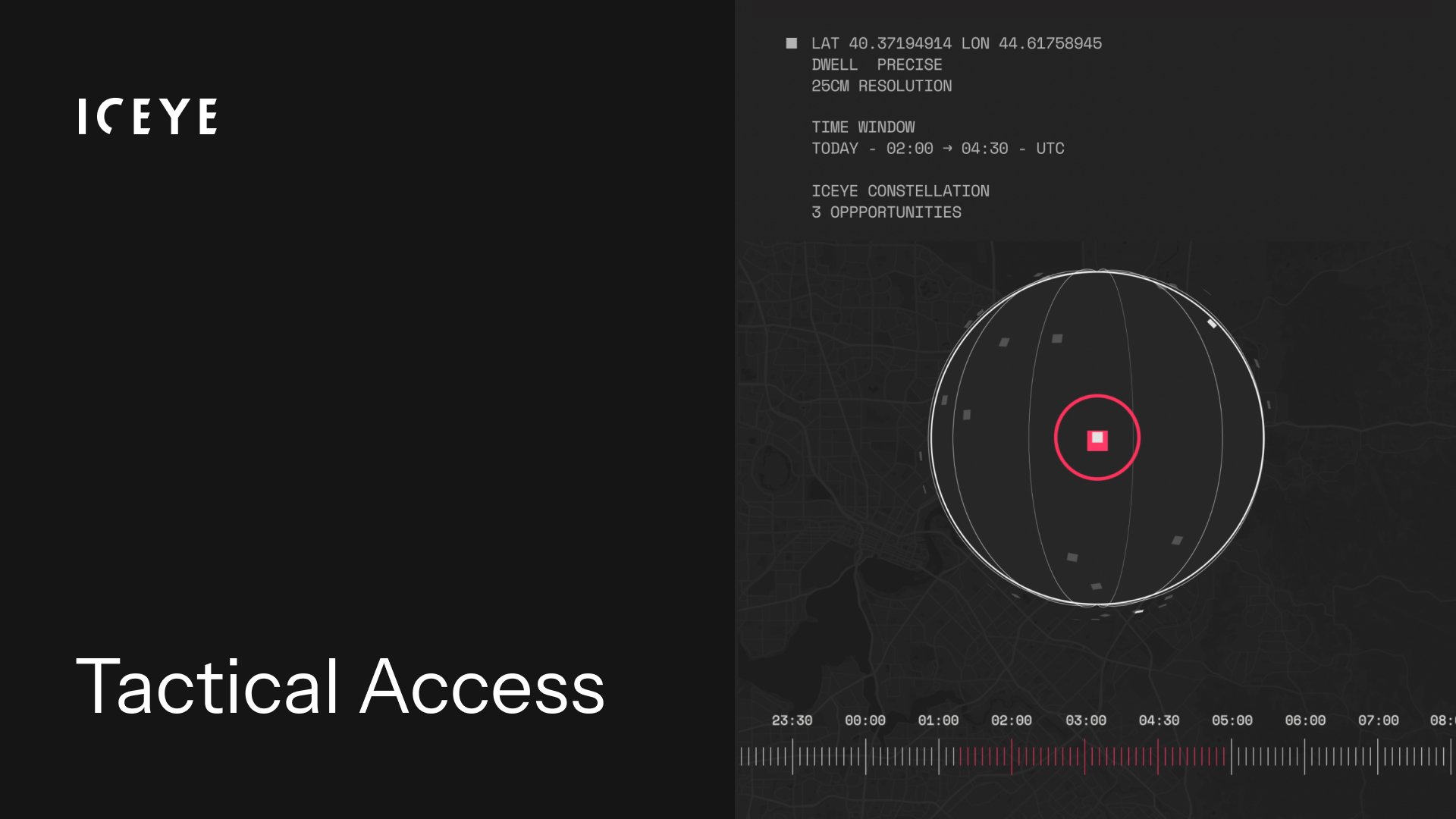
30 October 2025
ICEYE’s Tactical Access is the only commercial SAR service providing guaranteed imaging slots,...
Read more about ICEYE launches Tactical Access, providing guaranteed satellite tasking for time-critical missions →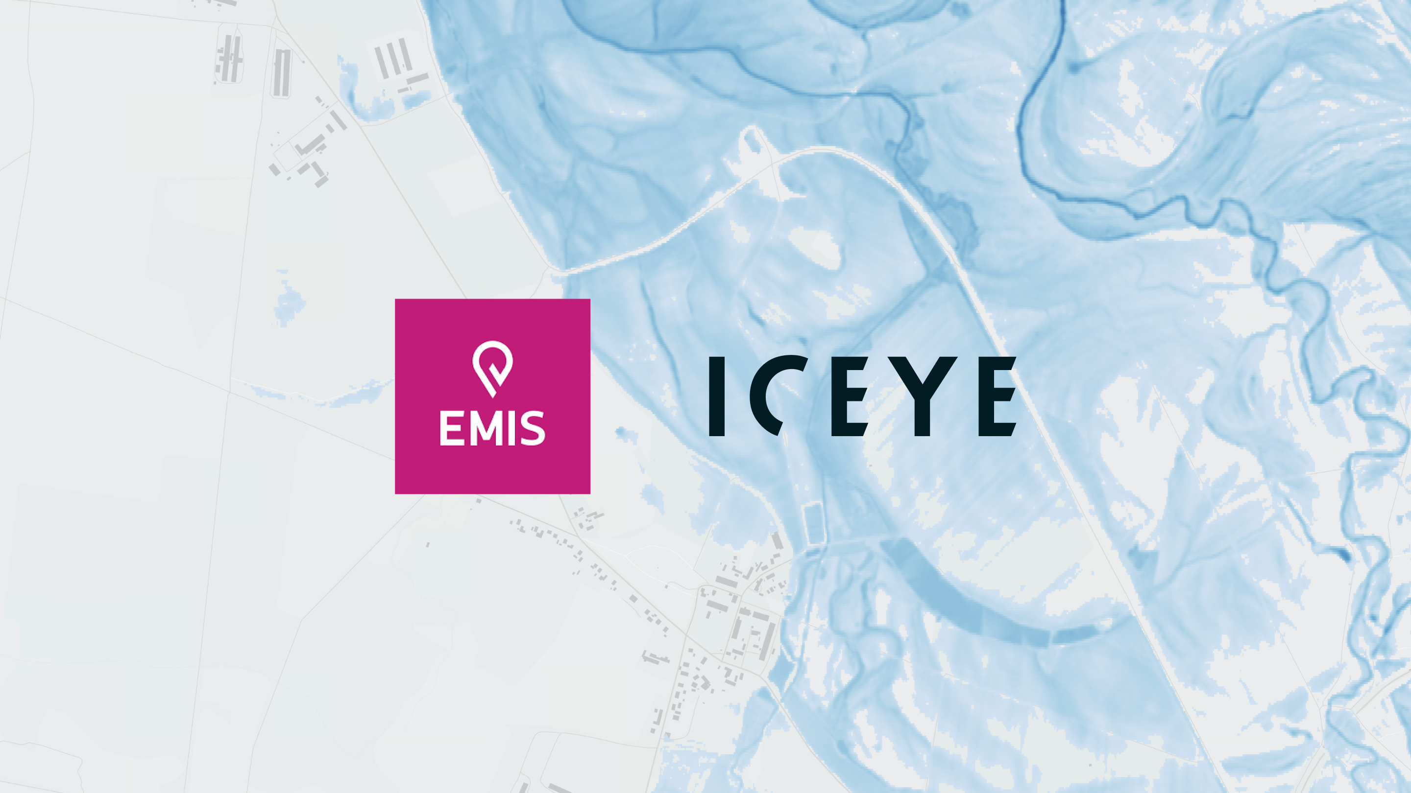
23 October 2025
ICEYE will provide crucial real-time flood data in addition to potential fire monitoring.
Read more about ICEYE and EMIS announce partnership to provide a missing flood data layer to Slovakia’s national, near real-time monitoring platform →