Contact us
Get in touch with our experts to find out the possibilities daily truth data holds for your organization.
Persistent Monitoring
Natural catastrophe solutions
Press release
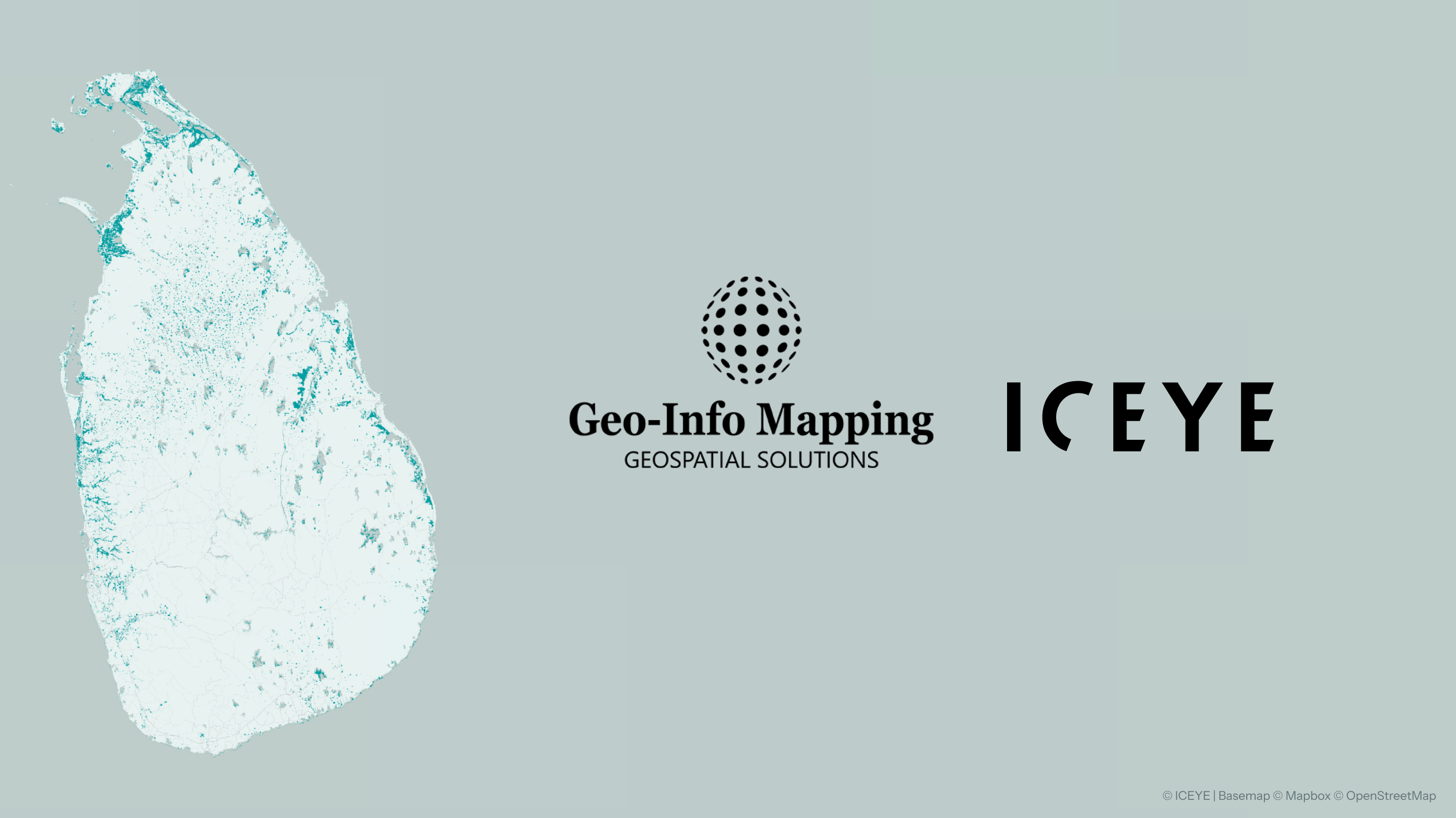
Helsinki, Finland – February 12, 2026 - ICEYE, a world-leading provider of natural catastrophe solutions and insights, today announced an analytics Solutions reseller partnership with Geo-Info Mapping Private Limited, marking ICEYE’s first commercial partnership in Sri Lanka and making its Flood Rapid Impact solution commercially available nationwide. Through the agreement, Geo-Info Mapping will resell and support ICEYE’s flood intelligence services for public and private-sector organizations across the country.
Geo-Info Mapping Private Limited is a Sri Lanka-based geospatial services provider with deep expertise in GIS, engineering surveys, and data analysis supporting infrastructure, water resources, and disaster management initiatives. As a local reseller partner, Geo-Info Mapping will deliver ICEYE’s Flood Rapid Impact insights alongside its own geospatial data and analytical services, helping customers translate near-real-time flood intelligence into actionable decisions.
“The ICEYE partnership in Sri Lanka is a testament to our commitment to leveraging technology for a safer, more resilient future,” said Ruwan Dissanayake, Managing Director of Geo-Info Mapping Sri Lanka. “By combining our expertise with ICEYE’s insights, we're not just providing solutions; we're empowering communities and businesses to make informed decisions that can mitigate risks and save lives."
The effort builds on ICEYE’s successful deployment of Flood Rapid Impact during Cyclone Ditwah, which brought some of the worst flooding Sri Lanka has experienced in decades. During the event, ICEYE monitored flood extent and depth islandwide, providing near-real-time insights to government agencies, NGOs, and news outlets. Geo-Info Mapping supported local dissemination of these insights, helping ensure timely, actionable information reached decision-makers on the ground.
“This is a significant milestone for the availability of ICEYE’s Solutions in Sri Lanka,” said Paul Barron, Head of Global Partnerships for ICEYE. “State and local Governments can now better manage risks of disasters by pairing Flood Rapid Impact with Geo-Info Mapping Sri Lanka’s services to analyze the near real-time flooding against extensive Open Data, including water resources, roads, revenue, and demographic information.”
With this agreement in place, ICEYE’s flood intelligence services will now be available year-round for commercial purchase in Sri Lanka, supporting preparedness, response, and recovery efforts. Customers across sectors, including, infrastructure, emergency management, and government, can now access consistent, near-real-time flood insights to improve risk assessment and decision-making as extreme weather events continue to intensify.
Together, ICEYE and Geo-Info Mapping aim to strengthen national resilience and support more data-driven responses to flooding as climate-driven weather events continue to impact South Asia.
ICEYE delivers unparalleled persistent monitoring capabilities to detect and respond to changes in any location on Earth, faster and more accurately than ever before.
Owning the world's largest synthetic aperture radar (SAR) satellite constellation, ICEYE provides objective, near real-time insights, ensuring that customers have unmatched access to actionable data, day or night, even in challenging environmental conditions. As a trusted partner to governments and commercial industries, ICEYE delivers intelligence in sectors such as defense and intelligence, insurance, natural catastrophe response and recovery, security, maritime monitoring, and finance, enabling decision-making that contributes to community resilience and sustainable development.
ICEYE operates internationally with offices in Finland, Poland, Spain, the UK, Australia, Japan, UAE, Greece, and the US. We have more than 900 employees, inspired by the shared vision of improving life on Earth by becoming the global source of truth in Earth Observation.
Media contact
press@iceye.comGeo-Info Mapping Private Limited is a premier geospatial solutions provider in Sri Lanka, combining cutting-edge technology with expert knowledge to deliver comprehensive services across multiple sectors. From advanced GIS and surveying to irrigation design and climate-smart agriculture solutions, we empower organizations to make data-driven decisions for a sustainable future.
Media contact
info@geoinfolk.comWebsite
https://www.geoinfolk.com/
Other assets available at https://www.iceye.com/media-assets
Get the latest news and updates from ICEYE directly to your email. Don't forget to follow us on @iceye_global & on LinkedIn. For press inquiries and further materials please refer to our Press section.
