Hero ISR desktop

Tactical Space-Based ISR

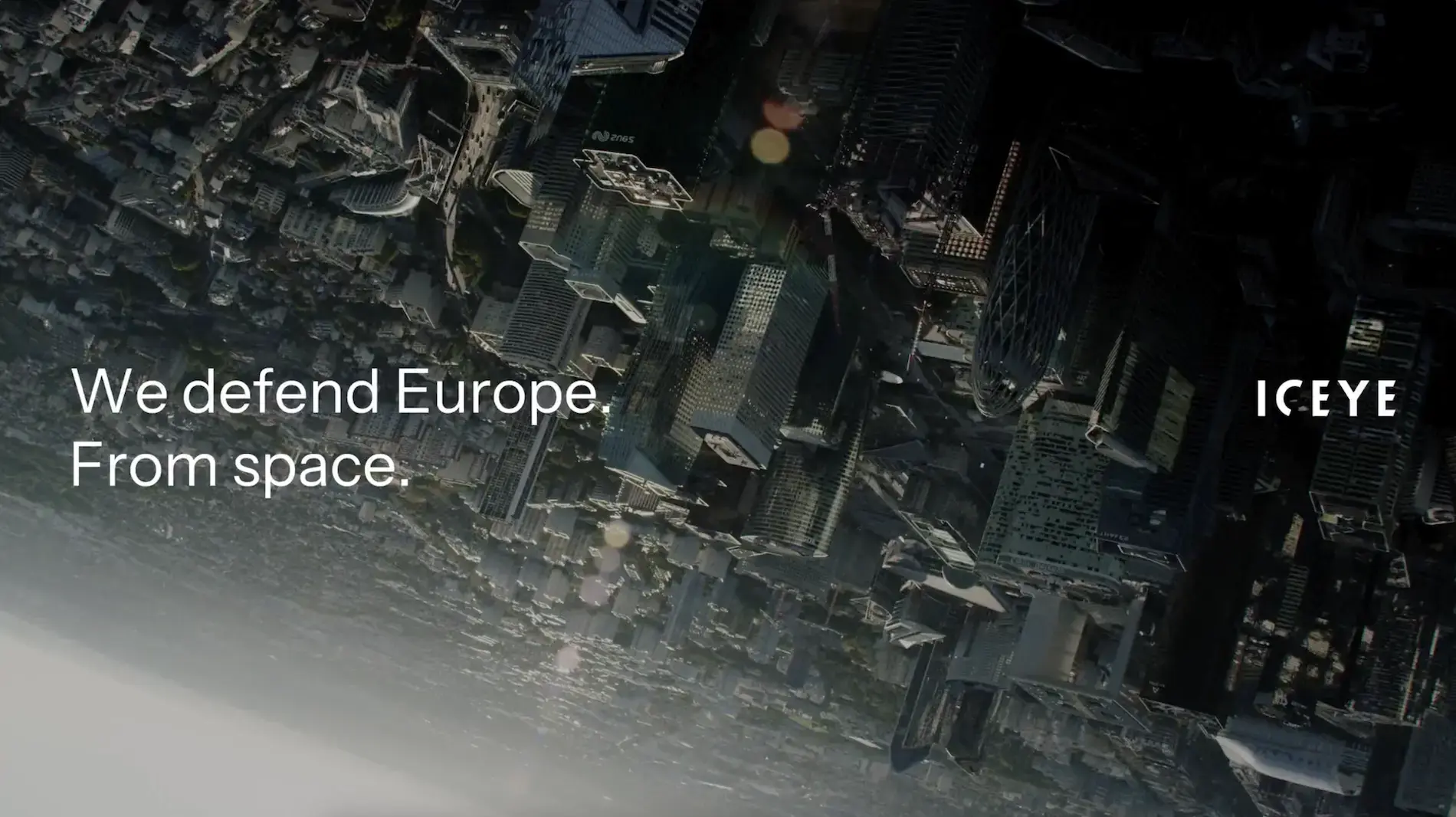
From tasking to decision. In minutes.

The only operational SAR-based end-to-end system

ICEYE delivers a complete sovereign space-based Missions system for Intelligence, Surveillance, and Reconnaissance (ISR). It connects a SAR satellite constellation, ground infrastructure, AI-automated analytics, and tactical exploitation cells into a single tactical operational chain. The customer owns and operates every layer on their own infrastructure. The system compresses the intelligence cycle from hours to minutes. ICEYE builds and operates the only proven, operational system of this kind. Sovereign missions go operational in months, not years. The system is battle-proven in active conflict and NATO interoperable. Sovereign missions are running across the world.

how it works

From tasking to intelligence in minutes

The ICEYE system compresses the time between a commander's request and an intelligence product. A task is sent to the satellite. The satellite images the target in any weather, day or night. Raw data is downlinked through a global ground station network. On-prem processing converts it into a SAR image. AI-driven analytics detect and classify targets: bombers, transport aircraft, helicopters, air defense systems. Processing takes 30 seconds. The operator receives a classified intelligence product, not a raw image.

how it works light web-1

Software that evolves in orbit

The system you operate today is better tomorrow

The entire mission from tasking to SAR data processing runs on one operating system that evolves. We call it IceOS. It is deployed on-prem at the customer's facility for full sovereign control. Software updates are delivered regularly to satellites and ground segments. New imaging modes. Faster processing. Target recognition expanding to new object classes. ICEYE controls both the satellite hardware and the software, so every update reaches every mission customer without new procurement or new hardware.

software web

PROVEN IN COMBAT AND EXERCISES

Operational track record

ICEYE's ISR system is proven in active combat, validated in military exercises, and delivered to allied nations across Europe. This is not a concept or a roadmap. It is production capability on operational satellites.

  • Battle-tested in active conflict since 2022, providing persistent battlefield intelligence to Ukrainian defense forces
  • ISR Cell deployed across multiple military exercises in since 2024, compressing the intelligence cycle from hours to minutes under live conditions
  • Sovereign mission systems are being deployed to partner nations across the globe.
  • NATO interoperable.
in combat

Build your sovereign ISR capability

Book a consultation to learn how the ICEYE SAR-based ISR system fits your national requirements.

From space to tactical edge. One system.

ICEYE connects satellites, ground operations, tactical exploitation, and automated intelligence into a single operational chain. Each component is described below.

1. Satellite operations and tasking

Gen4 satellites image at 25 cm resolution across a 400 km field of regard. All-weather, day and night. The software plans, tasks, and operates the constellation autonomously. Operators manage imaging schedules, monitor health, and execute orbit maintenance from one interface.

2. Downlink and processing

Raw SAR data is downlinked through a global network of 20+ ground stations with 60+ antennas. Encrypted routing from any orbit position reduces the time between image capture and data arrival. Processing runs on-prem at the customer's facility, on sovereign infrastructure. No data leaves the facility. The ground segment converts raw payload into SAR image products ready for exploitation.

3. Automated target recognition (ATR)

ATR processes a Dwell Fine image in less than 15 seconds. The system detects and classifies military assets across air, maritime, and land domains. Aircraft, vessels, vehicles. AI-assisted analysis combined with human expertise for high-confidence targeting.

4. Tactical exploitation

The ISR Cell brings the full processing and exploitation chain to the tactical edge. Task satellites, downlink data, process imagery, and disseminate intelligence from a single deployable unit. Collection to dissemination in minutes. If the primary ground segment is disrupted, the ISR Cell operates independently. Operators continue to task and exploit the constellation from the field. NATO-interoperable and proven in multinational exercises.

Sovereign control. Federated.

Share capacity with allies

Small sovereign fleets no longer mean limited coverage. Federated operations expand revisit rates and geographic reach across allied nations. A single nation operating four satellites can access the capacity of 50+ through federation. The system provides a single view of all assets. Nations retain full authority over their satellites and share capacity on demand.

video-placeholder-image

Federate

Strategic briefing

Request a strategic briefing on sovereign ISR capability for your nation.

Technical briefing

Request a technical briefing on system architecture and update model

Demos and datasets

Explore sample SAR data and ISR system interfaces for your forces.