Contact us
Get in touch with our experts to find out the possibilities daily truth data holds for your organization.
Persistent Monitoring
Natural catastrophe solutions

Persistent, real-time Earth Observation for 24/7 tactical decision-making in any condition/weather.
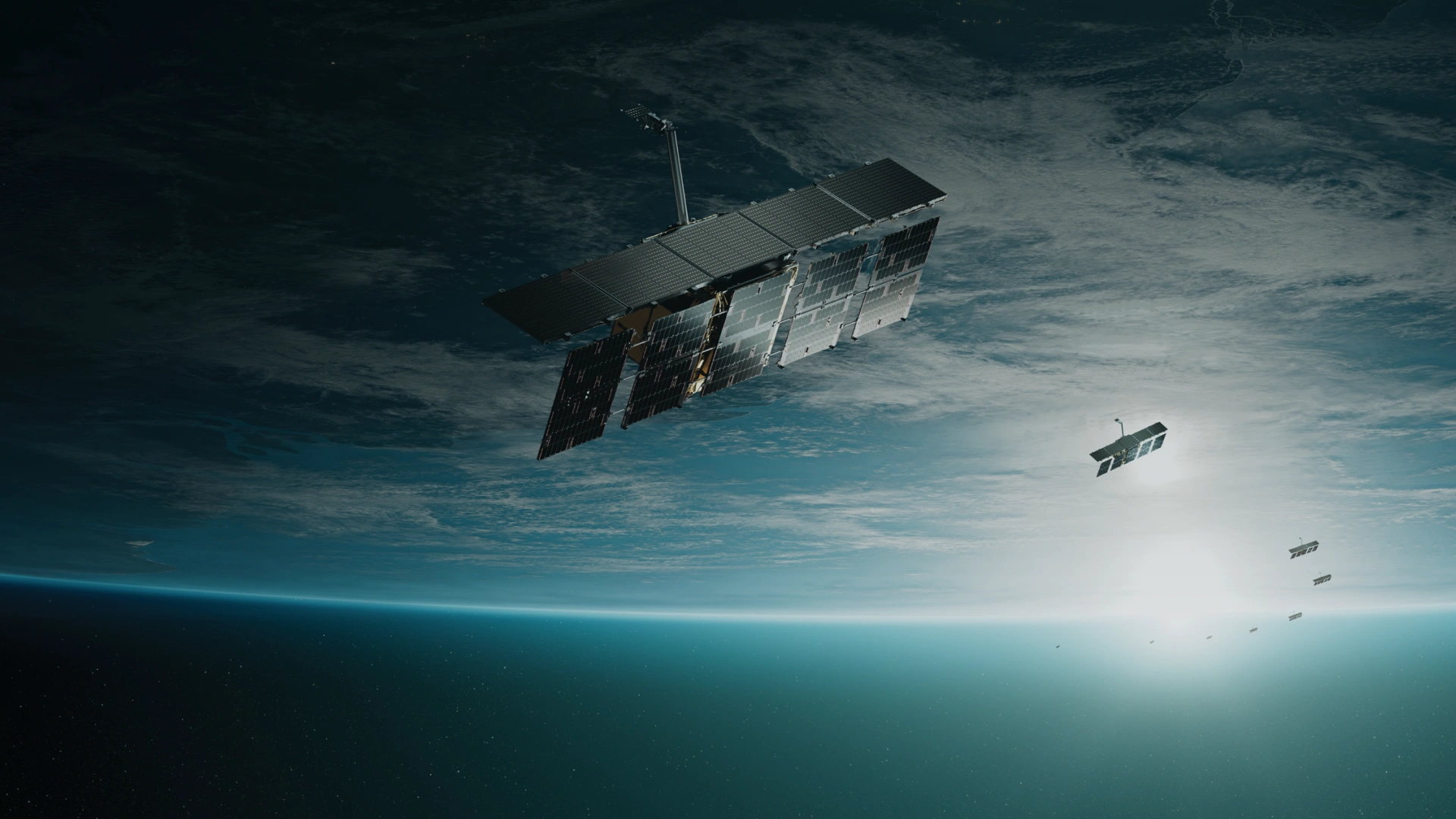
Owning the world’s largest synthetic aperture radar (SAR) satellite constellation, ICEYE provides objective, near real-time insights, ensuring that customers have unmatched access to actionable data, day or night, even in challenging environmental conditions. As a trusted partner to governments and commercial organisations, ICEYE delivers intelligence in sectors such as defense and intelligence, insurance, natural catastrophe response and recovery, security, maritime monitoring, and finance, enabling decision-making that contributes to community resilience and sustainable development.
ICEYE operates internationally with offices in Finland, Poland, Spain, the UK, Australia, Japan, UAE, Greece, and the US. We have more than 700 employees, inspired by the shared vision of improving life on Earth by becoming the global source of truth in Earth Observation.

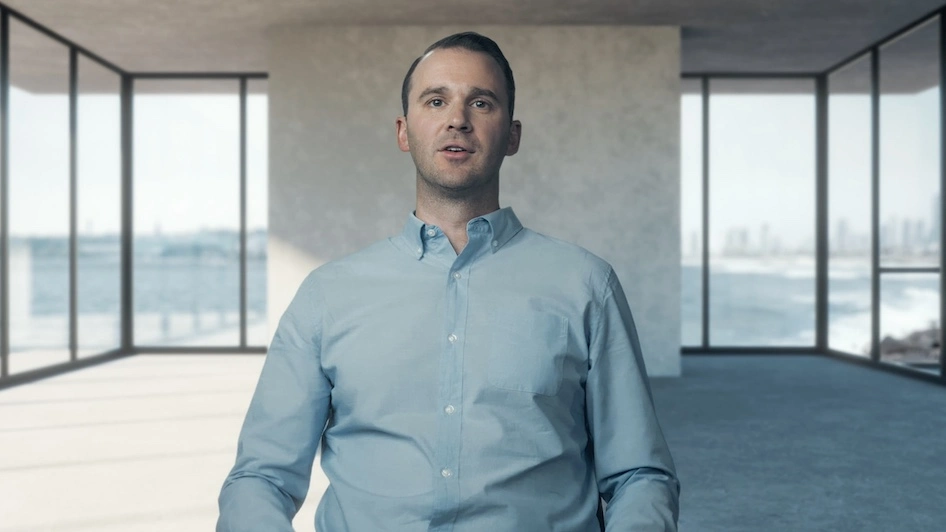
Rafal Modrzewski & Pekka Laurila / ICEYE Co-founders
Our SAR technology pierces through any environmental condition, day or night, to provide clear and consistent data. This advanced capability enables us to track minute changes across the globe in near real-time, offering insights with precision and reliability.

At ICEYE, we believe there is a unique opportunity to unlock the potential of SAR data by making it more accessible. ICEYE’s ability to persistently monitor the ground and provide quantifiable information with our radar technology means that it’s now open and available for governments, companies, organizations, and people to evaluate and leverage to better serve humanity.

We harness SAR data to strengthen national security, providing governments worldwide with critical, actionable intelligence. Our advanced technology enables strategic responses to emerging threats. This approach is about empowering nations with the foresight and tools needed to safeguard their people and national interests effectively and precisely.

ICEYE is transforming the insurance industry's response to natural catastrophes, including floods, wildfires, and other extreme events. We provide building-level data enabling insurers to rapidly evaluate risks and respond effectively. Our commitment to delivering actionable intelligence transforms the way insurers support their policyholders in crisis.

ICEYE’s Government Solutions help improve community resilience during natural disasters. By blending SAR data with building-level impact assessments, we provide governments with the situational awareness they need to protect their communities and critical infrastructure. ICEYE’s Flood Insights and Wildfire Insights enable emergency teams to quickly assess damage, deploy resources, and improve recovery outcomes in near real-time.

Meet the team leading our mission.

With colleagues from over 45 countries, we thrive in a multicultural NewSpace environment, dedicated to solving impactful challenges.
Your source for our latest security and compliance information. To demonstrate our commitment to providing customers with high-quality products and services, ICEYE has significantly invested in maintaining certifications in the following industry standards.

ICEYE is ISO 27001:2022 certified. This is the highest level of global information security assurance available today. Our certification provides customer assurance that ICEYE meets stringent international standards on security.

ICEYE is ISO 9001:2015 certified. ISO 9001 is the world's most recognized quality management system standard. This certification provides customer assurance that ICEYE has a systematic way to meet complex customer requirements and regulatory obligations through the development of consistent products and services.

A BBC StoryWorks Commercial Production
A new series presented by the World Ocean Council, produced by BBC Storyworks Commercial Productions, explores the vital connection between the oceans and our planet. Watch the 5-minute ICEYE episode to see how ICEYE’s technology is building resilience against climate-related challenges.
