Contact us
Get in touch with our experts to find out the possibilities daily truth data holds for your organization.


In August, the Federal Emergency Management Agency (FEMA) selected ICEYE for an agency-wide natural disaster monitoring subscription. This subscription gives the agency access to synthetic aperture radar (SAR)-derived geospatial data during natural disaster and emergency response scenarios.
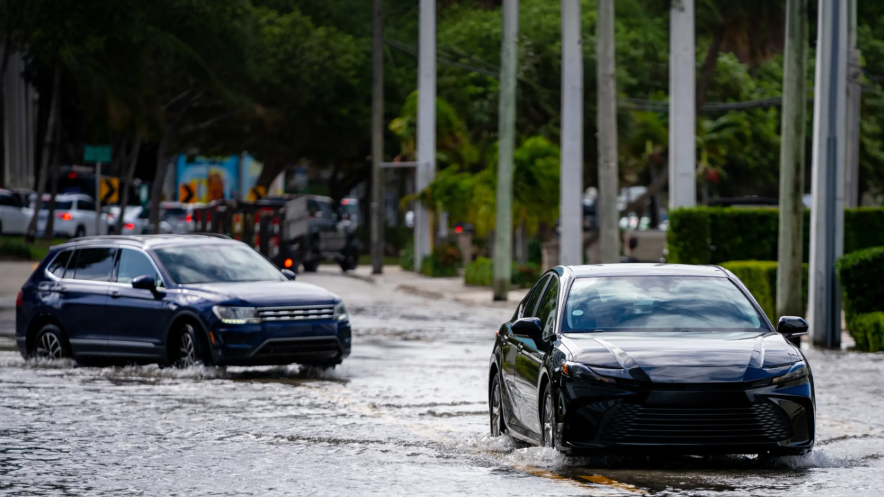
This new capability comes at a critical time, as natural disasters have become more frequent and severe, and their total cost has risen exponentially. Today, a billion-dollar disaster impacts the United States about once every ten days on average.
Access to SAR-derived insights is expected to give FEMA a better understanding of conditions on the ground before, during, and immediately after an emergency or natural disaster. This improved situational awareness should help FEMA make better data-driven decisions about how best to respond to disasters and where to deploy resources, empowering the agency to save lives, mitigate damage, and help communities recover in the wake of natural disasters.
To learn more about the role SAR-derived imagery can play in emergency response, we sat down with ICEYE's head of North America, Government Solutions, Mike Bennett.
Michael Bennett: Historically, agencies had to wait for cloud cover to dissipate or for good flying conditions to see what was happening through aerial reconnaissance or optical satellite imagery. Or they had to rely on anecdotal reports, river gauges, and descriptions from emergency management personnel.
That’s not optimal. Some river systems are ungauged. Weather and cloud cover don’t always cooperate, so agencies couldn’t always use satellite imagery or drone footage. Also, anecdotes and information relayed by first responders may not be completely accurate or timely. Ultimately, agencies were trying to piece together a story from disparate datasets with highly variable results.
But even after SAR data became available, these agencies still needed expertise: someone who knew what they were looking at and what they were looking for. That took time, resources, and money, and it left things to chance.
Companies like ICEYE offer SAR-derived insights for disasters, not just raw SAR imagery. These solutions combine SAR imagery, meteorologist expertise, optical imagery, ground-based and aerial observations, and river observations into a geospatial output that can be used across a common operating picture.
This eliminates the guesswork and gives agencies true situational awareness. The result is much faster, more actionable, and more timely knowledge of what is happening on the ground during and immediately after a disaster strikes.
Mike Bennett: For FEMA, whether there is one event or multiple events happening at the same time, situational awareness allows a quicker response. It helps FEMA support state and local agencies with resources and supplies faster and more efficiently, often within that pivotal first 72 hours after a disaster strikes.
That early window matters to everyone involved. That is when agencies are sending out search-and-rescue teams, prioritizing imagery collection plans, and assessing disaster declarations. If agencies have to wait, there is the potential for loss of life or additional add-on damage.
Ultimately, faster deployment of resources puts FEMA in a position to deliver better outcomes for survivors.
Hurricane Helene was a good example. Before the hurricane made landfall, flooding was occurring across multiple states. FEMA could have deployed resources based on flood maps or models indicating where flooding might occur. But that would have been inefficient.
Better situational awareness lets FEMA position people in impacted areas and keep them ready for what comes after search and rescue. A clear picture of what happened can help agencies more rapidly assess damage, pursue or validate a disaster declaration, and deliver individual and public assistance.
The first 24 hours are critical, but so are data-driven decisions about where to send people in the days and weeks after a flood or fire. The objective is to help families start recovering sooner.
Michael Bennett: Buying data per event is how many government agencies have historically worked with SAR data providers, but it can slow emergency response.
When a disaster strikes, state, local, and federal agencies must decide whether the event warrants purchasing SAR data and insights. Then they must navigate procurement and vendor-management processes, coordinate with contracting officers, and confirm budget availability.
No matter how efficient the organization is, that takes time. If agencies like FEMA wait hours or days for data, they’re already a step behind.
A hazard monitoring subscription means the SAR provider is always watching, and data flows as soon as an event occurs, without the need for tasking. Agencies move from a reactive contracting posture to a proactive one. It lets the agency focus resources on response rather than procurement. It is a shift in mindset as much as a shift in posture.
Michael Bennett: We delivered data on a per-event basis to FEMA for five years. That gave them time to understand its impact and the return on their investment. Not just a dollar-value return, but a return in people, resources, energy, and recovery outcomes.
Since we began delivering that data to FEMA, we have seen shorter-than-average emergency declaration times during disasters. We have also helped agencies like FEMA understand the size and scope of events beyond what was initially expected.
The Lahaina fires in Hawaii are a great example. SAR-derived imagery and data showed the fires were far more impactful than the initial thinking. That insight is essential to coordinating an effective, efficient, and optimal response.
Case Study
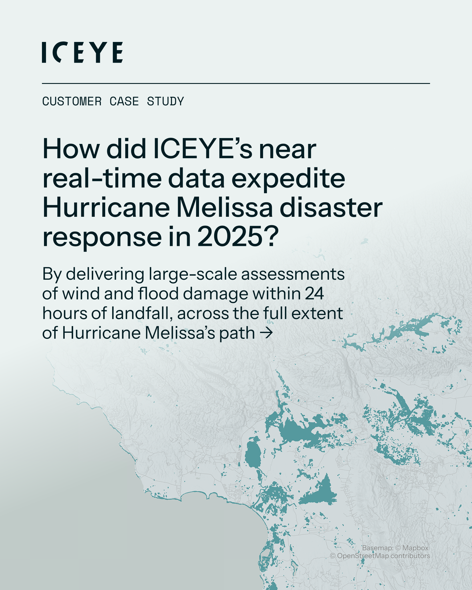
As Hurricane Melissa stalled over the Caribbean in late October 2025, relentless rainfall caused catastrophic flooding across Jamaica. In the wake of the storm, ICEYE made its Flood Rapid Impact data and Hurricane Rapid Impact freely available to government agencies and NGOs through Esri’s Disaster Response Program, helping response teams prioritize resources and protect lives.
05 November 2026
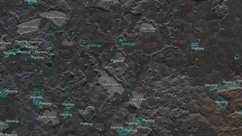
28 October 2026
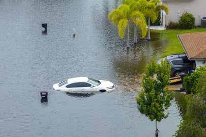
30 September 2026