Contact us
Get in touch with our experts to find out the possibilities daily truth data holds for your organization.


FEMA recently awarded ICEYE a multi-year Hazard Monitoring subscription, making satellite-derived natural disaster intelligence a standing capability across the agency.
The decision is a significant step forward for FEMA as the agency shifts from disaster-by-disaster procurement toward permanent, resilient operational infrastructure. It reflects five years of the agency testing, validating, and building the internal expertise to use the data at scale.
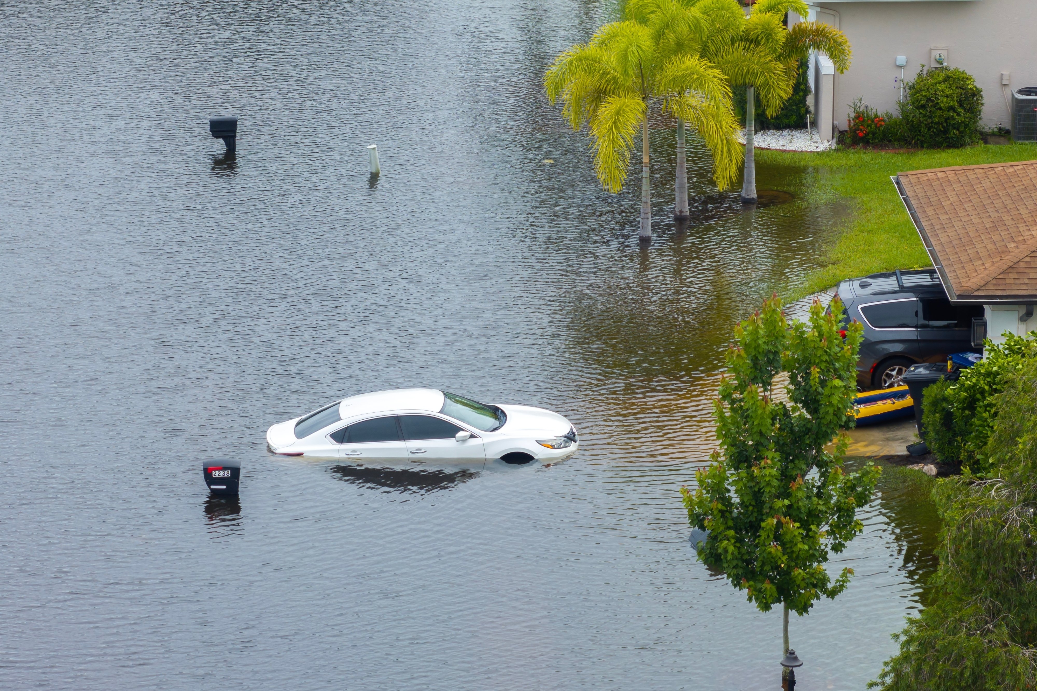
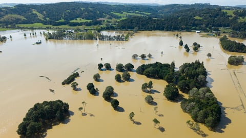
FEMA first worked with ICEYE during Hurricane Ida in August 2021, when the agency needed insight into flood damage across Louisiana and Mississippi and conditions on the ground made assessment impossible.
Since then FEMA has used ICEYE data through more than 40 events: major riverine and flash flooding, hurricanes, and wildfires. That work has been led by the Office of Response and Recovery, which runs all-hazard geospatial modeling and analytics for the agency and feeds situational awareness into the National Response Coordination Center.
FEMA treated each event as a proving ground. SAR sees through clouds, smoke, and darkness, which is exactly when optical imagery and aerial assets are grounded and when responders most need to know what happened and where. Over 40 events, FEMA established where that capability changes outcomes and how to integrate it into operational workflows under time pressure.
Moving from per-event access to a subscription expands both the availability of the data and the range of decisions it can inform.
Agency-wide access. All offices across FEMA can now access hazard data for every activated event rather than negotiating access case by case.
Support for states. The subscription extends derivative data to states during events, putting the same observed picture in front of federal and state responders at the same time.
Coverage across the full disaster lifecycle. Continuous availability supports mitigation and preparedness planning before an event, response prioritization during it, and damage assessment, claims, and recovery decisions after it. Per-event access confined the data to just the middle of that cycle.
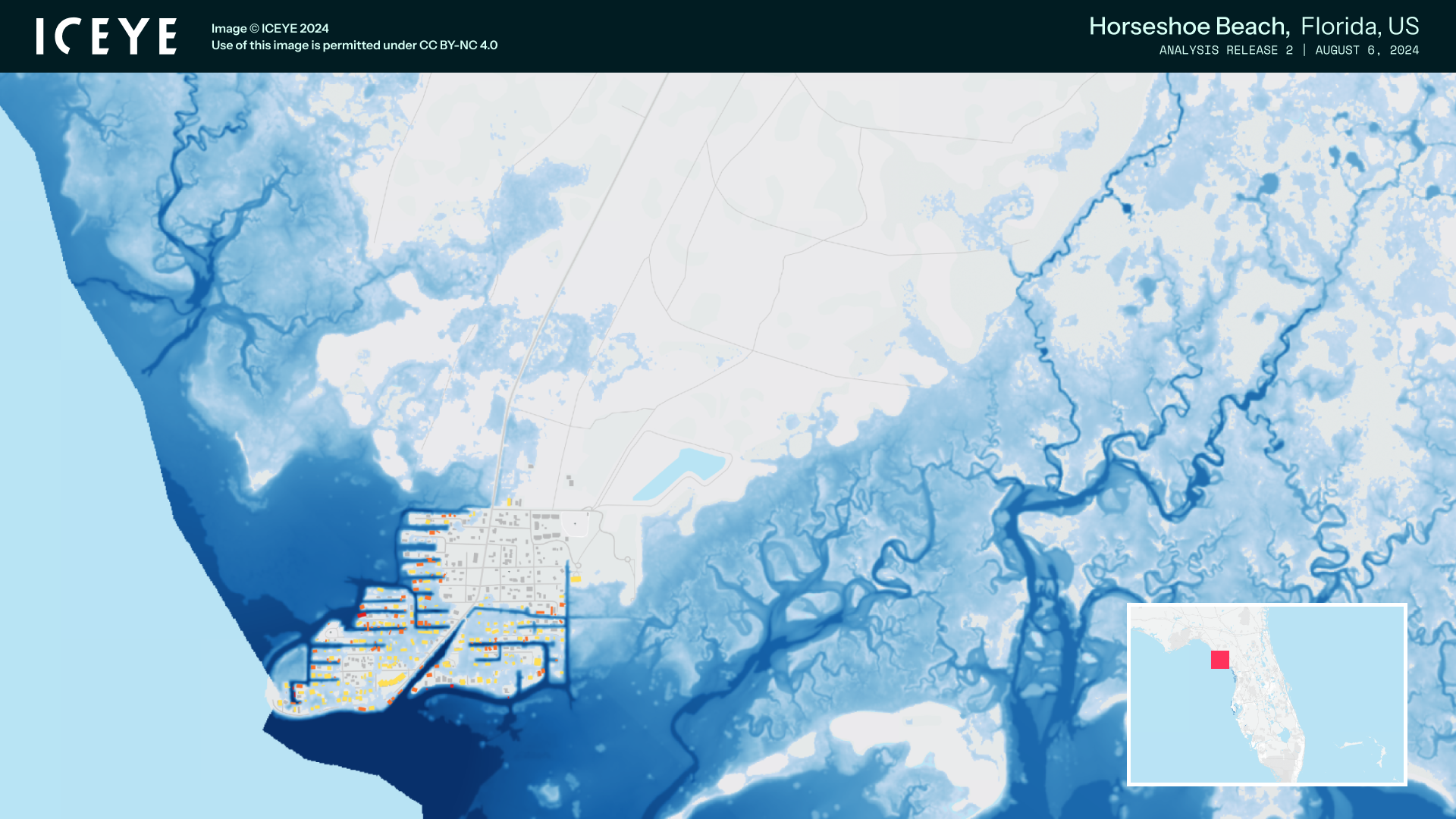
Disaster response decisions have to hold up under scrutiny from oversight bodies, insurers, and the public. Models and forecasts are essential for planning, but they estimate while ICEYE's constellation observes.
For FEMA, that means flood extent and depth and structure-level impact from wildfires derived from what satellites actually observed, delivered fast enough to direct people and resources while the event is still unfolding.
ICEYE operates the world's largest constellation of SAR satellites, monitoring day and night in any weather. FEMA's move to treat that capability as standing infrastructure sets a reference point for emergency management agencies worldwide.
To learn more about ICEYE's hazard monitoring solutions for government and emergency management, contact our team.
24 September 2026
03 September 2026

25 June 2026