Plan resources with increased efficiency, improve safety and reduce instability risks with daily updated information on mining activities, derived from ICEYE SAR satellite data.
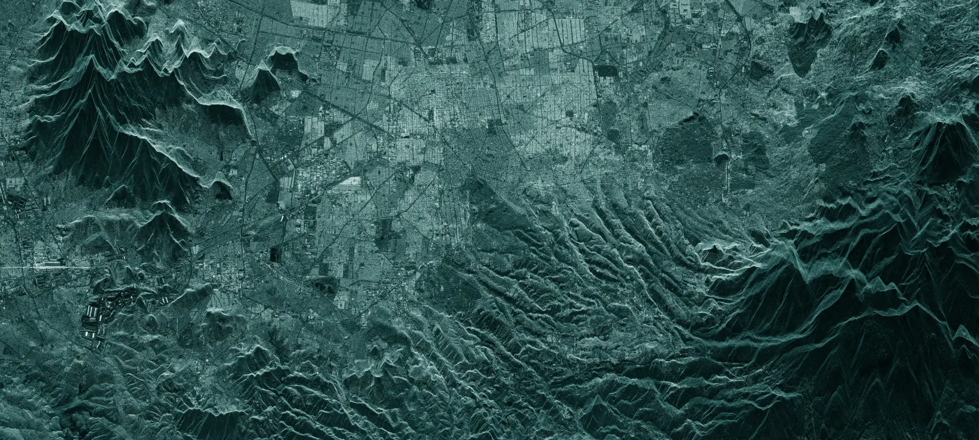
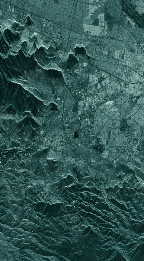
Mining sites are often located in some of the most remote locations in the world, causing difficulty in successful management of labor, equipment use, and project progress overall. SAR satellite data is the key to getting the most recent and accurate information for efficient operations planning and resource management in mines. SAR satellites can acquire an image of any location on Earth, at any time, regardless of cloud cover and sunlight.
Efficient operations management requires timely, consistent, reliable information about every activity that happens within and around the mining sites. ICEYE's constellation of SAR satellites enables persistent monitoring of open-pit mines to support the planning and management of mineral resources. Information derived from ICEYE’s high-resolution SAR satellite imagery allows operations to be planned efficiently, enabling precise monitoring of variations in the terrain, and consequently the volume of mineral extracted.
ICEYE continues to grow its current SAR satellite constellation capacity with the objective to provide daily interferometry and coherent change detection anywhere on Earth with a 24h ground track repeat. This breaks existing barriers in collecting SAR imagery stacks for InSAR analysis, bringing the collection time down with every new satellite in the ICEYE constellation. Since 2018, ICEYE has launched commercially available SAR satellites, and the company will continue to increase the size of the commercial constellation every year.
Headquarters
Espoo, Finland
Copyright 2021 | ICEYE | Privacy Policy