Contact us
Get in touch with our experts to find out the possibilities daily truth data holds for your organization.
Persistent Monitoring
Natural catastrophe solutions

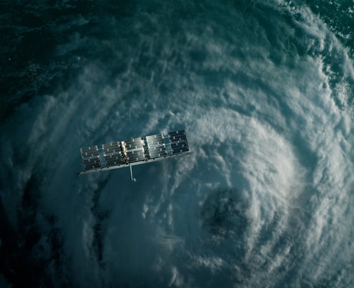
ICEYE’s natural catastrophe monitoring solutions provide near real-time hazard and damage data for commercial and non-commercial organizations alike.
Persistent Natural Catastrophe Monitoring

INSURANCE
Gain immediate clarity on the impacts of natural catastrophes with ICEYE's accurate, near real-time insights for the insurance sector. Enhance your ability to assess and respond promptly, ensuring superior customer service and effective risk management.

GOVERNMENT
Our rapid insights empower proactive responses to natural catastrophes, enhancing your preparedness and resilience.
ICEYE Solutions Blog
December 11, 2025
1 min read
Cyclones Senyar and Ditwah: Flooding impact across Sri Lanka, Indonesia, and Thailand
In late November, two storms formed in the Bay of Bengal region. Cyclones Senyar and Ditwah were the third and fourth cyclones of the 2025 ...
Read the post Cyclones Senyar and Ditwah: Flooding impact across Sri Lanka, Indonesia, and Thailand →October 28, 2025
11 min read
Flood Ready: How insurers can act faster with satellite insights
Read the post Flood Ready: How insurers can act faster with satellite insights →October 15, 2025
11 min read
From forecast to fact: Multi-peril data for insurers
Read the post From forecast to fact: Multi-peril data for insurers →June 11, 2025
10 min read
6 Data-driven strategies emergency managers should use for hurricane preparedness
When hurricanes threaten, seconds matter. The difference between reactive scrambling and a calm, coordinated government response often ...
Read the post 6 Data-driven strategies emergency managers should use for hurricane preparedness →Sign up for our Insurance Solutions newsletter for regular updates about ICEYE products and get exclusive insights on the most pressing natural catastrophes delivered to your inbox.