Contact us
Get in touch with our experts to find out the possibilities daily truth data holds for your organization.

Persistent monitoring – the vision
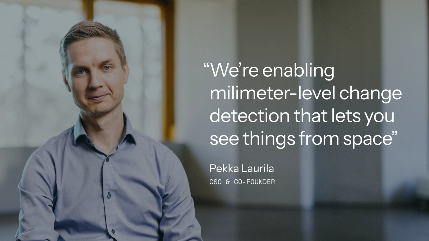
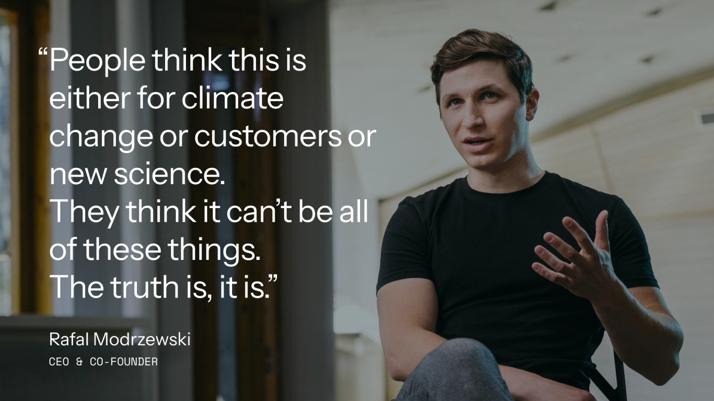
with Rafal Modrzewski & Pekka Laurila

Rafal Modrzewski & Pekka Laurila / ICEYE
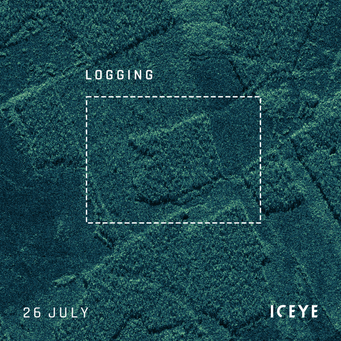
Stack of ICEYE Strip images showing changes in a forested area in South America over seven consecutive days.
CEO & Co-Founder
Rafal Modrzewski is the Chief Executive Officer of ICEYE, which he co-founded with Pekka Laurila as a project in 2012 and a company in 2014. Rafal is in charge of overseeing growth and implementing ICEYE’s ambitious vision, which he does with deep expertise in Synthetic Aperture Radar (SAR) engineering. Like everyone at ICEYE, he’s committed to empowering commercial and government partners with unmatched persistent monitoring capabilities for any location on Earth, enabling them to make timely, data-driven decisions to solve challenges, ensure infrastructure, and protect the environment.
CSO & Co-Founder
Pekka Laurila is ICEYE's Chief Strategy Officer and co-founder, and an expert in geographic information systems. As CSO, Pekka has naturally played a key role in developing and driving ICEYE’s strategy, which centers on providing unprecedented access to timely and reliable Earth observation data collected with a growing constellation of small SAR satellites. The goal is to democratize access to that data, giving government and commercial partners a totally new level of capability to respond to and even predict some of the biggest challenges the world faces.
Darren Muff
A key requirement that’s been missing from earth observation is being able to track changes very quickly and very often. Synthetic aperture radar (SAR) allows you to see in any weather, day or night. But if you want to be able to track changes to any location on the globe in minutes, hours, or a few days, you need a constellation of satellites that are small and affordable enough to enable persistent monitoring that can be quickly activated, flexibly maneuvered and that can deliver the right information at the right time. That’s exactly what ICEYE does.

Shay Strong & Eric Jensen
At ICEYE, we believe there is a unique opportunity to unlock the potential of SAR data by making it more accessible. ICEYE’s ability to persistently monitor the ground and provide quantifiable information with our radar technology means that it’s now open and available for governments, companies, organizations, and people to evaluate and leverage to better serve humanity.
