Contact us
Get in touch with our experts to find out the possibilities daily truth data holds for your organization.

ICEYE in Ukraine
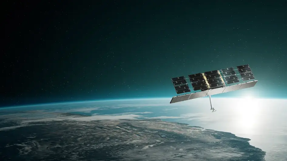
Gen4 satellites with 16 cm resolution. All-weather, day-and-night imaging across Dwell, Spot, Strip, and Scan modes. Registered as your national assets.
A deployable ground unit that runs the full ISR loop from a single container. Compresses the loop from collection to intelligence dissemination to minutes. Proven in NATO military exercises.
A global network of 20+ ground stations and 60+ antennas ensures rapid, encrypted downlink at all times. For fully sovereign missions, a dedicated ground station antenna enables tasking and data receipt at your facility.
ISR Analytics lets operators manage multiple collection requests and run a complete exploitation workflow from tasking to dissemination. AI-powered automatic target recognition compresses the intelligence loop from hours to minutes.
Access to SAR data from the ICEYE constellation from day one. Your teams build workflows, operational procedures, and gain intelligence while your sovereign satellites are being produced.
The system improves with updates. New imaging modes, faster processing, and expanded capabilities are delivered to your system on-orbit and on the ground, without replacing hardware.
ICEYE MISSIONS

expand on demand
Your satellites. Your control. More coverage when it matters. Federation connects sovereign fleets to unlock capacity on demand without compromising national authority. A single software layer makes allied coordination fast, flexible, and operationally simple.

ICEYE Press releases • July 9, 2026 • 4 min read

ICEYE Press releases • June 17, 2026 • 2 min read

ICEYE Press releases • May 15, 2026 • 4 min read

ICEYE Press releases • January 19, 2026 • 3 min read

ICEYE Press releases • January 12, 2026 • 3 min read

ICEYE Press releases • December 18, 2025 • 3 min read

ICEYE Press releases • December 2, 2025 • 2 min read

ICEYE Press releases • November 20, 2025 • 3 min read

ICEYE Press releases • November 7, 2025 • 1 min read

ICEYE Press releases • October 16, 2025 • 3 min read
Constellation Europe is a concept for a federated architecture of more than 1,000 European-owned satellites, designed to give Europe sovereign, continuous visibility of its security environment. It combines national systems, commercial assets and institutional capabilities into a true system of systems, operated as a single framework.
Proposed by ICEYE, it brings together three layers: a multi-sensor sensing layer (SAR, electro-optical, SIGINT) for continuous all-weather coverage; a secure data-transport layer with the low latency defense operations demand; and a sovereign operations layer covering space situational awareness, ground infrastructure, and AI-driven data fusion.
National assets stay under national control, but they can be used collectively when Europe needs them. Read the full case in Politico, by ICEYE CEO Rafal Modrzewski.

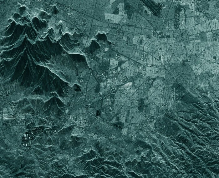
SAR Data
Get accurate images of any location on Earth – sub-daily and in any conditions.

Solutions
Anticipate and respond to flood and wildfire events across the globe with ICEYE’s near real-time intelligence.

ICEYE Blog • June 22, 2026 • 5 min read

ICEYE Blog • June 3, 2026 • 13 min read

ICEYE Blog • May 6, 2026 • 4 min read

ICEYE Blog • January 23, 2026 • 6 min read

ICEYE Blog • November 6, 2025 • 13 min read

ICEYE Blog • June 27, 2025 • 7 min read

ICEYE Blog • March 13, 2025 • 12 min read

ICEYE Blog • February 14, 2025 • 16 min read

ICEYE Blog • December 17, 2024 • 13 min read
ICEYE Blog • December 3, 2024 • 9 min read

