Contact us
Get in touch with our experts to find out the possibilities daily truth data holds for your organization.
Persistent Monitoring
Natural catastrophe solutions

Generate expected portfolio loss numbers quicker and more accurately than never before. Optimize your risks and streamline your disaster response with ICEYE's flood insights. Get your eBook: "Sizing flood losses with accurate observation data: The art of the possible for (re)insurers.
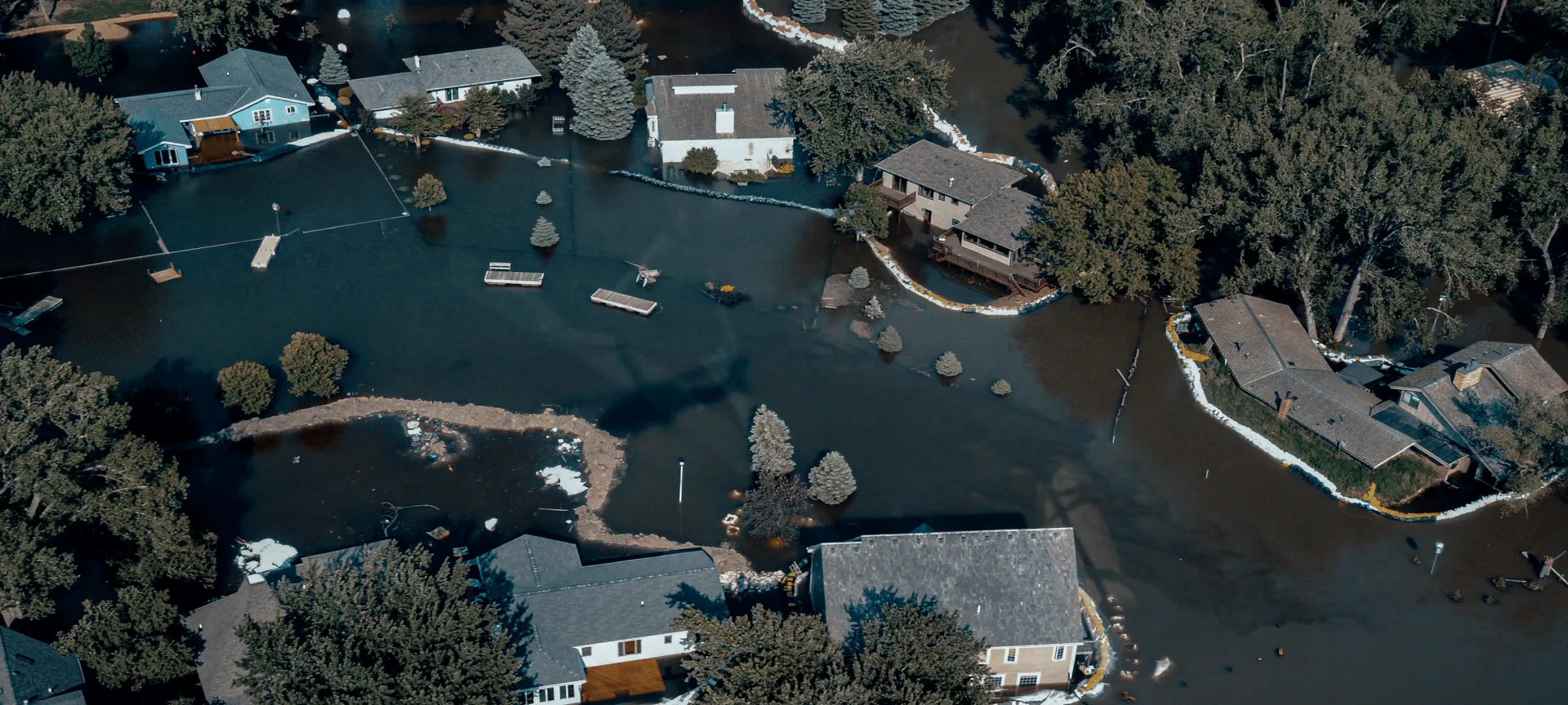
Evolve from a slow and resource-intensive process of relying on loss estimate models to automatically ingest accurate and complete flood observation data, both at a portfolio and property level.
For ICEYE clients, there is no waiting around for loss estimates or adjuster reports. Built on globally consistent, accurate flood observation data, ICEYE's Flood Insights can give you an immediate view of how your portfolio has been impacted.
Use ICEYE's accurate and near real-time situational awareness to immediately update stakeholders on the impact of events on your book of business, resulting in timely, data-driven board decisions and market value stability.
At ICEYE, we tailor our flood event briefings to the individual client. We present loss data the exact way your organization chooses to receive it, both at an industry and portfolio level, for the sake of better resource allocation and more precise use of capital.
Actuaries need to know how much capital to put aside to pay for the expected claims from a natural catastrophe event. Our clients can optimize their risks and accurately reserve for events, without relying on changeable loss estimates and avoiding loss creep.
Get the eBook
Our Flood Insights product combines ICEYE’s Synthetic Aperture Radar (SAR) satellite imagery with an abundance of third-party data, algorithms and machine learning, supported by a team of experts from the fields of meteorology and advanced geospatial analytics. Depending on the individual needs of each customer organization, we deliver actionable outputs for the unique needs of Actuarial and Reinsurance Departments, Chief Risk Officers, Capital Steering Committees, and more.
Explore our collection of near real-time flood mapping and analysis from across the globe.
November 2024
Download ICEYE's analysis on the severe flash flooding from the DANA Storm in November 2024.
October 2024
Download ICEYE's analysis on the flooding from Hurricane Milton in October 2024.
October 2024
Download ICEYE's analysis on the flooding from Hurricane Helene in September 2024.
Sign up for our monthly Insurance solutions newsletter to get distilled news about ICEYE's products and fresh insights on the most pressing natural catastrophes delivered to your inbox.