Contact us
Get in touch with our experts to find out the possibilities daily truth data holds for your organization.
Monitor any location on Earth, day and night, in any weather. Up to hourly revisits, with imagery delivered in near real-time.
What would you do with actionable information on every square meter on Earth, updated every single hour? ICEYE’s commercial SAR satellite fleet offers defense institutions exactly that: unparalleled visibility on their areas of interest, shortening the time from detection to action.
Our solutions range from standard tasking to on-demand intelligence with full data sovereignty.
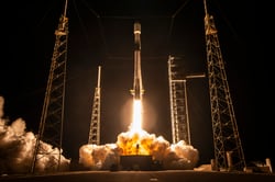
70+ satellites launched since 2018
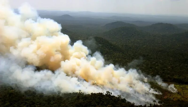
See through clouds, smoke, ash, fog and even total darkness
With Tactical Access and private antenna
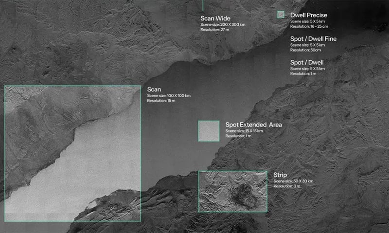
See the detail and understand the context with resolutions up to 25 cm and scenes up to 120,000 km².
Unlimited access anywhere on the globe
The ICEYE fleet is already in orbit. Once your agreement is in place, you can task your area of interest immediately. This also holds true while you wait for the possible ground infrastructure to be installed.
Having access to the biggest SAR constellation in the world means the highest number of opportunities to collect imagery, in any weather or light conditions. Your understanding of how activity develops remains precise, regardless of whether you need to keep track changes over days or hours.
With Tactical Access and direct downlink, imagery is on your analysts' screens within 20 minutes. Our AI-powered Object Detection & Identification adds automatic vessel, aircraft and vehicle recognition, shortening the time between assessment and decision.
Tactical Access is our highest-performance tasking service. It is designed for defense organizations that need to be able to respond to threats quickly, on both land and at sea.
In practice, this means reserved access to your areas of interest, flexibility to make changes until late, full data sovereignty and near real-time delivery.
Reserve satellite time across ICEYE’s full fleet to guarantee collection
Define targets as little as 40 minutes before pass for fast-moving missions
1 hour via Cloud, under 20 minutes via optional private antenna.
With the optional EDGE processor, all data is downlinked, decrypted, processed and stored on your site.
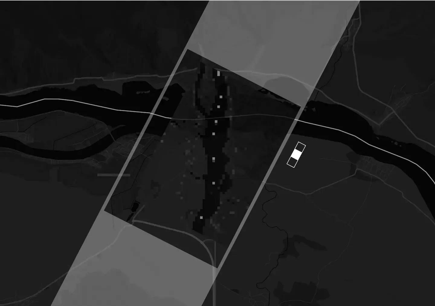
Collect up to 15 scenes in a single pass with Multi-Spot.
ICEYE’s commercial satellite constellation is a great standalone solution for many customers.
If you already operate your own dedicated satellites (or are waiting for them to be built), our commercial data can expand their area coverage, number of passes over a priority site or collection from other orbits and times of day.
For customers who want to go beyond what Cloud delivery offers, the ICEYE ground infrastructure offers ways to improve both data sovereignty and speed of data delivery.
Process imagery locally. Direct. Private. Secure.
Direct downlink capability. Imaging-to-delivery timeline in minutes.
Reserve passes over your priority areas with Tactical Access, or use Standard Tasking to order collections as needs arise.
Get imagery through the cloud or keep the whole chain in-house. With Tactical Access, a private antenna and EDGE, data is downlinked and processed on your own site, faster and without leaving your secure environment.
Add Object Detection & Identification (ODI), and every image arrives with vessels, aircraft and vehicles already detected and classified, so your analysts start from findings.
Monitor vast areas up to 120.000 km2, or zoom in at very high resolution - down to 5x5 km.
Let us know about your specific use case. We will show you what the fleet can collect for you, and how fast it reaches your team.

ICEYE Press releases • October 22, 2026 • 2 min read
ICEYE Press releases • October 22, 2026 • 3 min read
ICEYE Press releases • October 20, 2026 • 2 min read